Holbrook is a town in Norfolk County, Massachusetts, United States. As of 2023, the town’s population was 12,284.
| Name: | Holbrook CDP |
|---|---|
| LSAD Code: | 57 |
| LSAD Description: | CDP (suffix) |
| State: | Massachusetts |
| County: | Norfolk County |
| Incorporated: | 1872 |
| Elevation: | 65 m (212 ft) |
| Total Area: | 19.2 km² (7.4 sq mi) |
| Land Area: | 19.0 km² (7.4 sq mi) |
| Water Area: | 0.1 km² (0.1 sq mi) |
| Total Population: | 11,405 |
| Population Density: | 590/km² (1,500/sq mi) |
| ZIP code: | 02343 |
| Area code: | 781 |
| FIPS code: | 2530420 |
| GNISfeature ID: | 0618322 |
| Website: | holbrookma.gov |
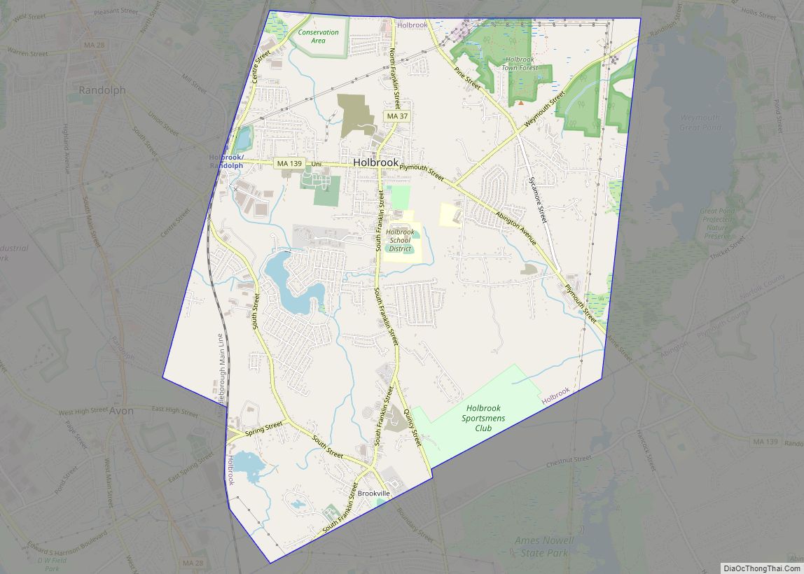
Online Interactive Map
Click on ![]() to view map in "full screen" mode.
to view map in "full screen" mode.
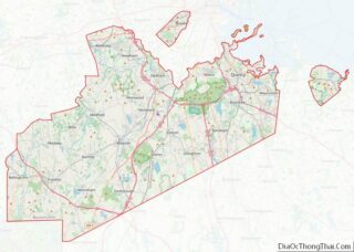
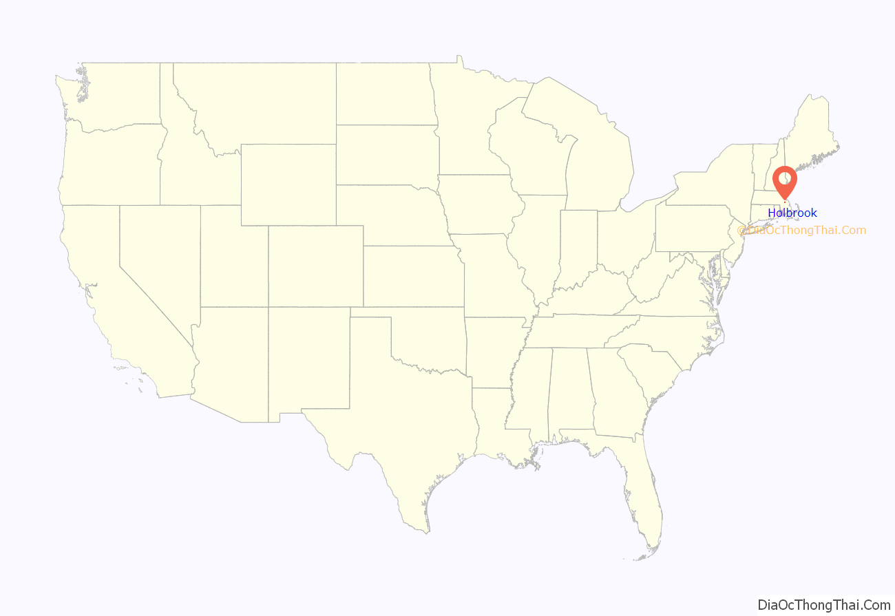
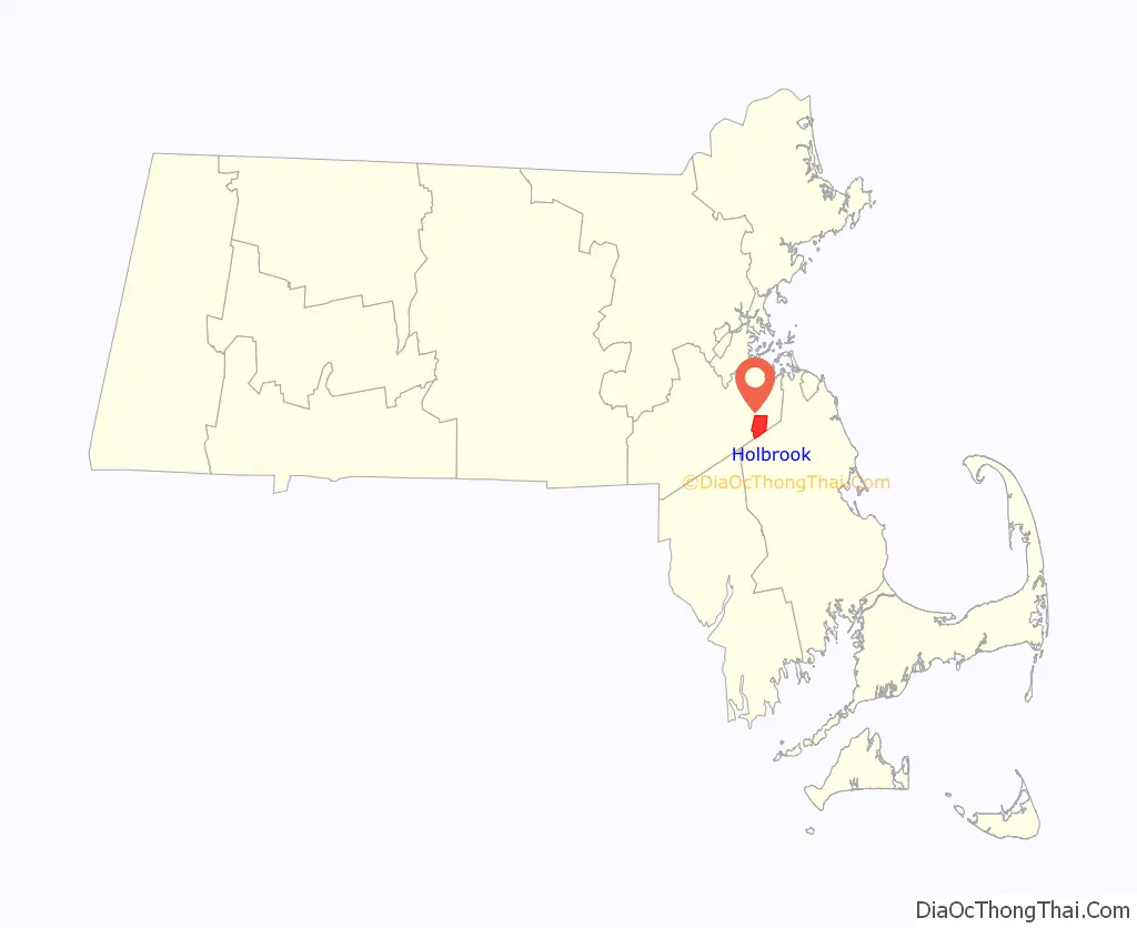
Holbrook location map. Where is Holbrook CDP?
History
Holbrook was first settled by Europeans (mostly British colonists) in 1710 as the southern part of Old Braintree, and was officially incorporated on February 29, 1872, the last town created from the former lands of Braintree. It used to be known as East Randolph, being divided from Randolph by track from the Old Colony Railroad line.
In the 18th and 19th centuries, farming and cottage trades, particularly shoe production, dominated the economy. Slowly, the town evolved into a primarily residential community with many residents commuting to work in Boston proper and the primary employment within the town being in service industries.
Some residents served during the Civil War, and members of the famed 54th Massachusetts Volunteer Infantry are buried in Union Cemetery. The impact of the War came not only from the residents’ direct participation in the conflict, but was also from the need for production of boots for soldiers. It was during the Civil War that shoe production became a significant component of the town’s economic life, and production moved decidedly from the home and into factories.
The story of Holbrook’s split from Randolph begins in 1871, when pressure had been building in East Randolph for an independent town. After a little “misunderstanding” (according to Randolph brethren, the Eastern group used rather stronger language) about the placement of a cupola on top of Stetson Hall as a vent for the gas lighting, the pot boiled over and East Randolph petitioned to be incorporated as a separate town.
The town was named for benefactor Elisha N. Holbrook, who provided the town with the funds for the town hall and library upon incorporation.
Holbrook residents again took up arms in the First and Second World Wars. The latter had a great impact on the life of the community. After 1945, demobilization created a building boom and altered the economy and lifestyle across the United States. Holbrook experienced a housing boom and became a largely residential community, in which some service industry provides local jobs, but from which most residents commute to work in Greater Boston.
Holbrook once held the Baird and McGuire chemical plant, which in 1982 was added to the EPA National Priorities list. Listed as the nation’s 14th worst Superfund site, cleanup work began immediately. As of June 17, 1997, the EPA concluded primary cleanup operations at the site. Efforts included the incineration of 248,000 tons of soil, including sediment dredged from the Cochato River. Total cost was approximately $133 million, including the construction of a water treatment plant that is still in operation.
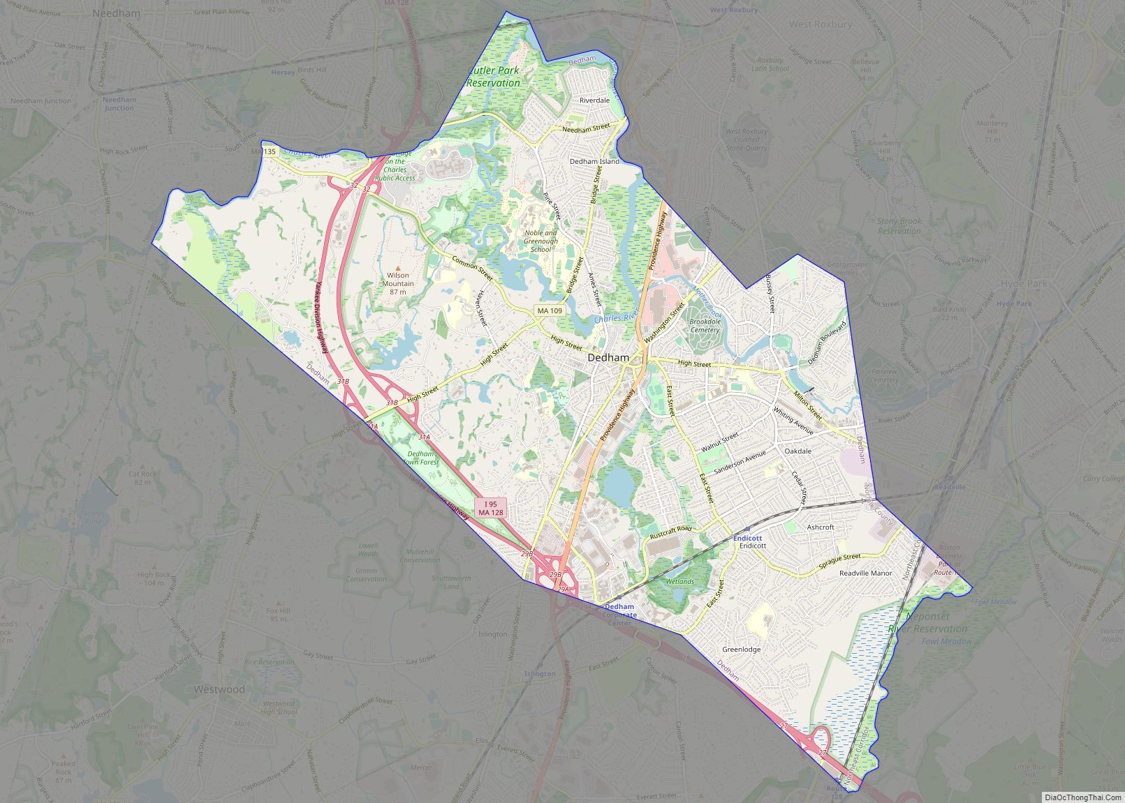
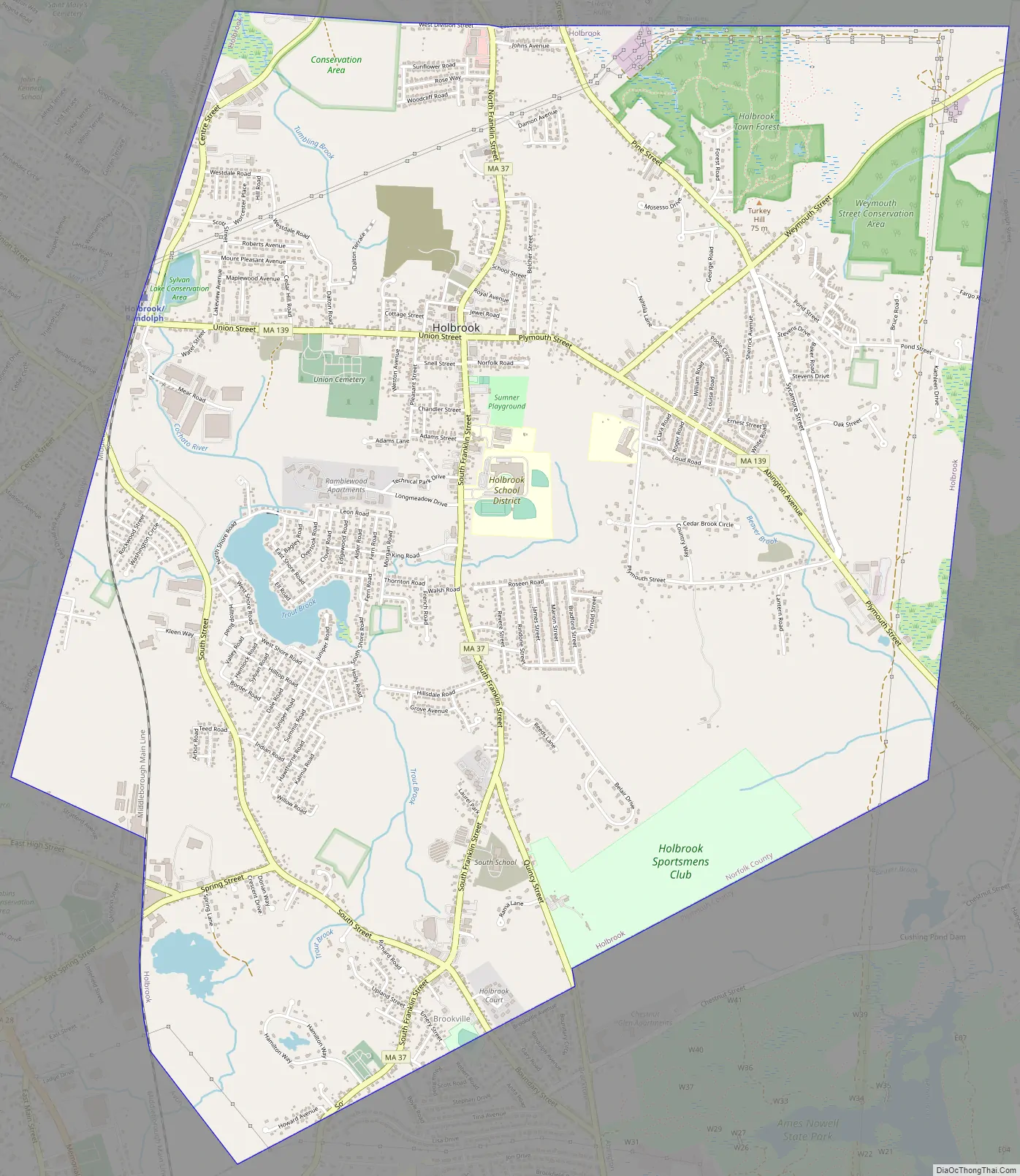
Holbrook Road Map
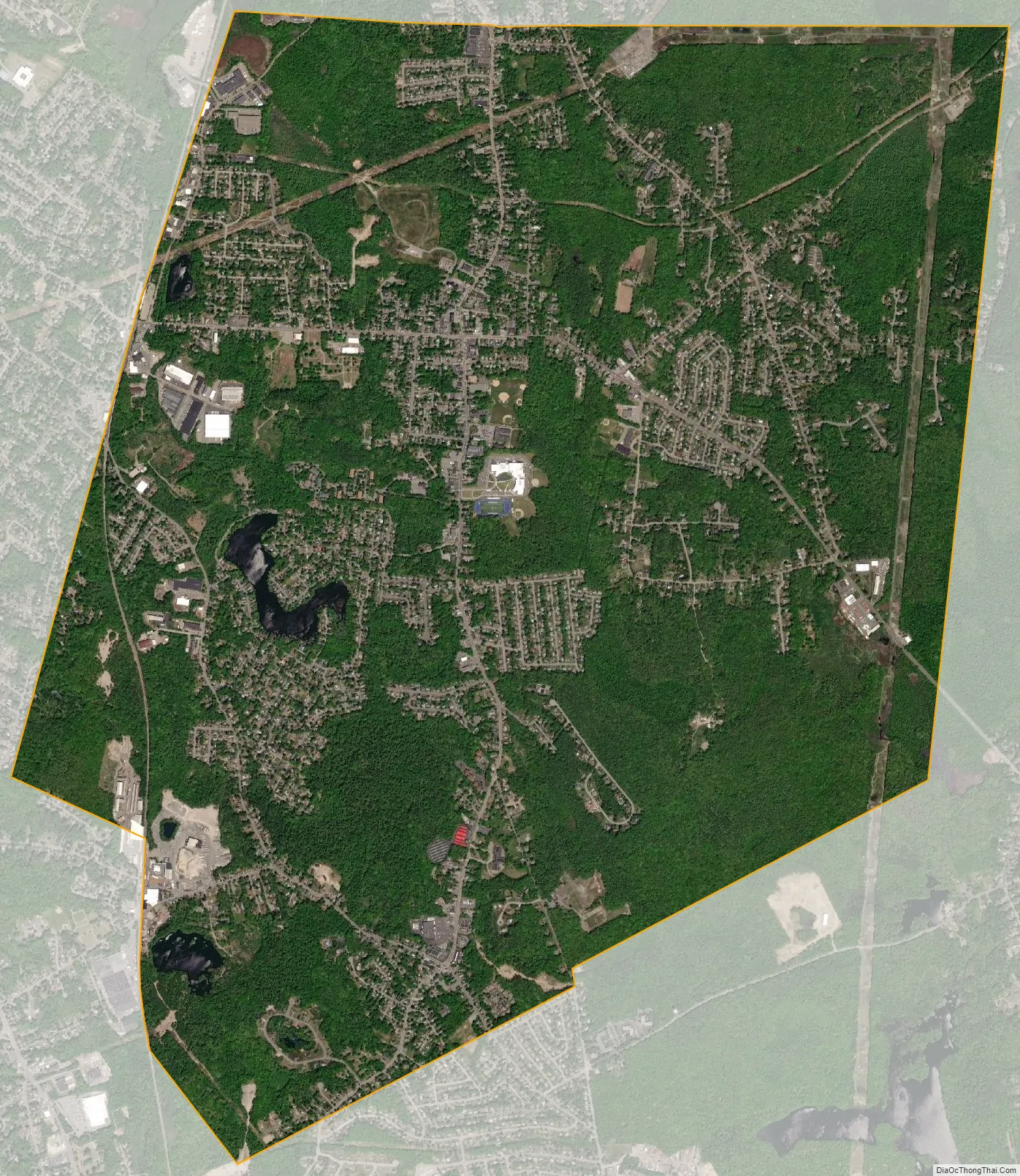
Holbrook city Satellite Map
Geography
According to the United States Census Bureau, the town has a total area of 7.4 square miles (19.2 km), of which, 7.3 square miles (19.0 km) of it is land and 0.1 square miles (0.1 km) of it (0.69%) is water.
Holbrook borders Braintree to the north, Weymouth to the east, Abington to the southeast, Brockton to the southwest, Randolph and Avon to the west.
See also
Map of Massachusetts State and its subdivision: Map of other states:- Alabama
- Alaska
- Arizona
- Arkansas
- California
- Colorado
- Connecticut
- Delaware
- District of Columbia
- Florida
- Georgia
- Hawaii
- Idaho
- Illinois
- Indiana
- Iowa
- Kansas
- Kentucky
- Louisiana
- Maine
- Maryland
- Massachusetts
- Michigan
- Minnesota
- Mississippi
- Missouri
- Montana
- Nebraska
- Nevada
- New Hampshire
- New Jersey
- New Mexico
- New York
- North Carolina
- North Dakota
- Ohio
- Oklahoma
- Oregon
- Pennsylvania
- Rhode Island
- South Carolina
- South Dakota
- Tennessee
- Texas
- Utah
- Vermont
- Virginia
- Washington
- West Virginia
- Wisconsin
- Wyoming