Wellesley (/ˈwɛlzlɪ/) is a town in Norfolk County, Massachusetts, United States. Wellesley is part of Greater Boston. The population was 29,550 at the time of the 2020 census. Wellesley College, Babson College, and a campus of Massachusetts Bay Community College are located in the town.
| Name: | Wellesley CDP |
|---|---|
| LSAD Code: | 57 |
| LSAD Description: | CDP (suffix) |
| State: | Massachusetts |
| County: | Norfolk County |
| Incorporated: | 1881 |
| Elevation: | 141 ft (43 m) |
| Total Area: | 10.49 sq mi (27.2 km²) |
| Land Area: | 10.18 sq mi (26.4 km²) |
| Water Area: | 0.31 sq mi (0.8 km²) |
| Total Population: | 29,550 |
| Population Density: | 2,902.75/sq mi (1,120.76/km²) |
| Area code: | 339/781 |
| FIPS code: | 2574210 |
| GNISfeature ID: | 0618332 |
| Website: | www.wellesleyma.gov |
Online Interactive Map
Click on ![]() to view map in "full screen" mode.
to view map in "full screen" mode.
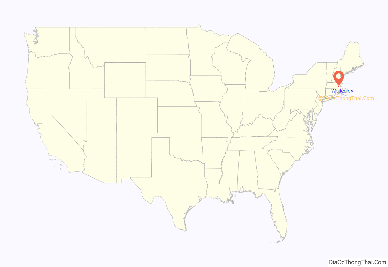
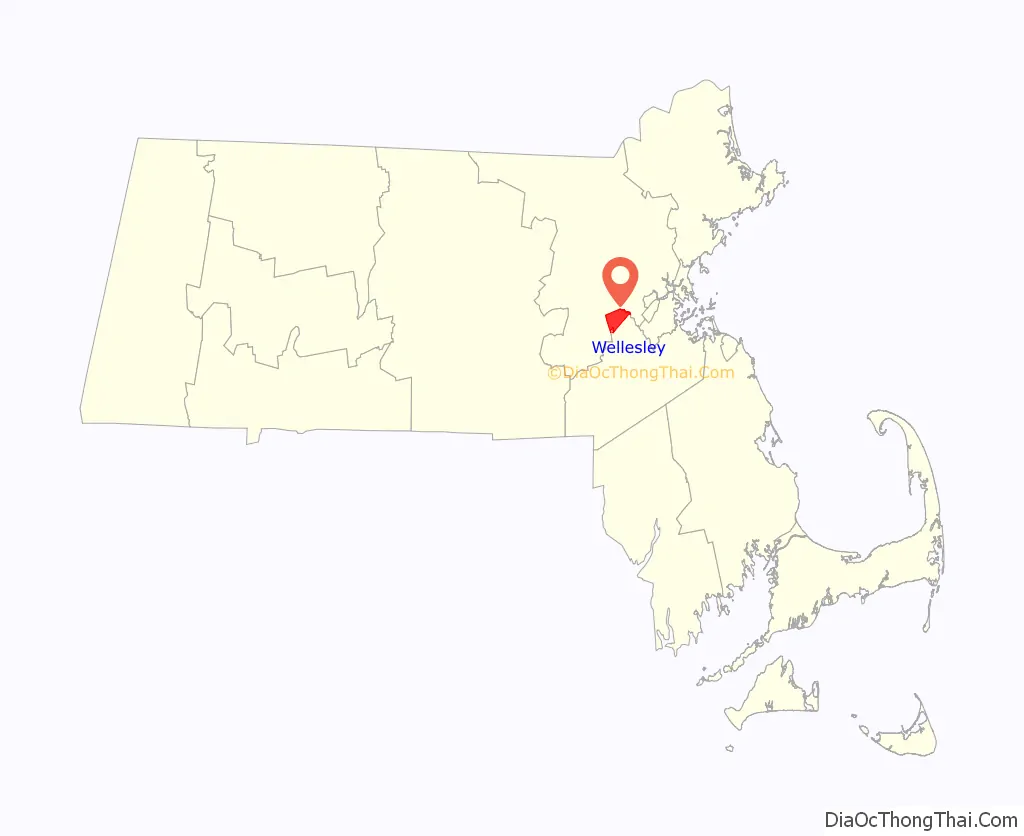
Wellesley location map. Where is Wellesley CDP?
History
Wellesley was settled in the 1600s as part of Dedham, Massachusetts. It was subsequently a part of Needham, Massachusetts called West Needham, Massachusetts. On October 23, 1880, West Needham residents voted to secede from Needham, and the town of Wellesley was later christened by the Massachusetts legislature on April 6, 1881. The town was named after the estate of local benefactor Horatio Hollis Hunnewell.
Wellesley’s population grew by over 80 percent around the 1920s.
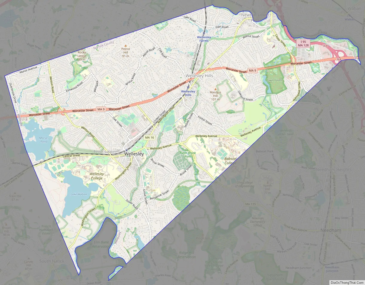
Wellesley Road Map
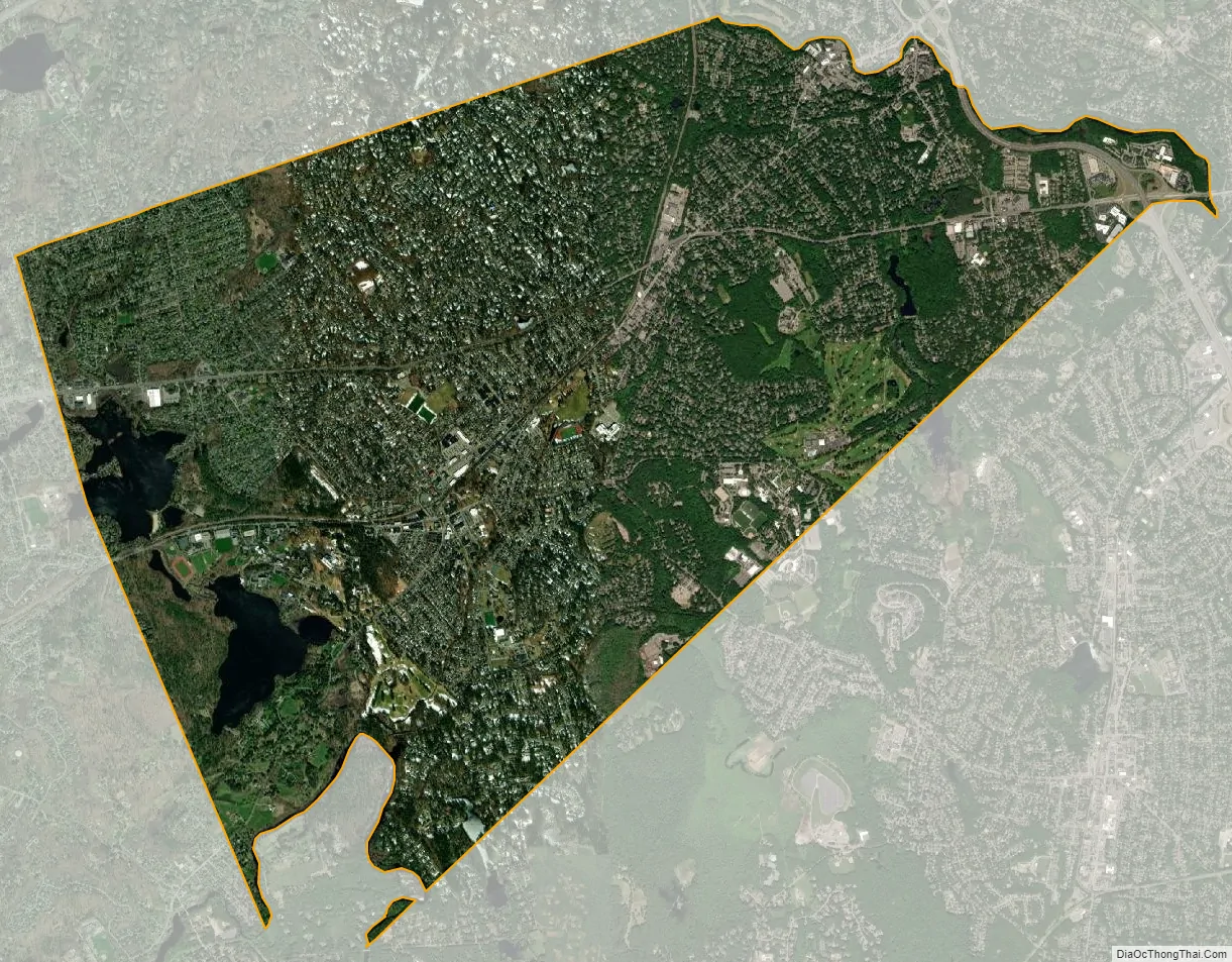
Wellesley city Satellite Map
Geography
Wellesley is located in eastern Massachusetts. It is bordered on the east by Newton, on the north by Weston, on the south by Needham and Dover and on the west by Natick. According to the United States Census Bureau, the town has a total area of 10.49 square miles (27.2 km), of which 10.18 square miles (26.4 km) is land and 0.32 square miles (0.83 km) is water.
Neighborhoods
- Wellesley Farms
- The Fells
- Wellesley Hills (02481)
- Wellesley Square (02482)
- Poets’ Corner
- Babson Park (02457)
- Peirce Estates
- College Heights
Climate
Wellesley has a warm-summer humid continental climate (Dfb under the Köppen climate classification system), with high humidity and precipitation year-round.
See also
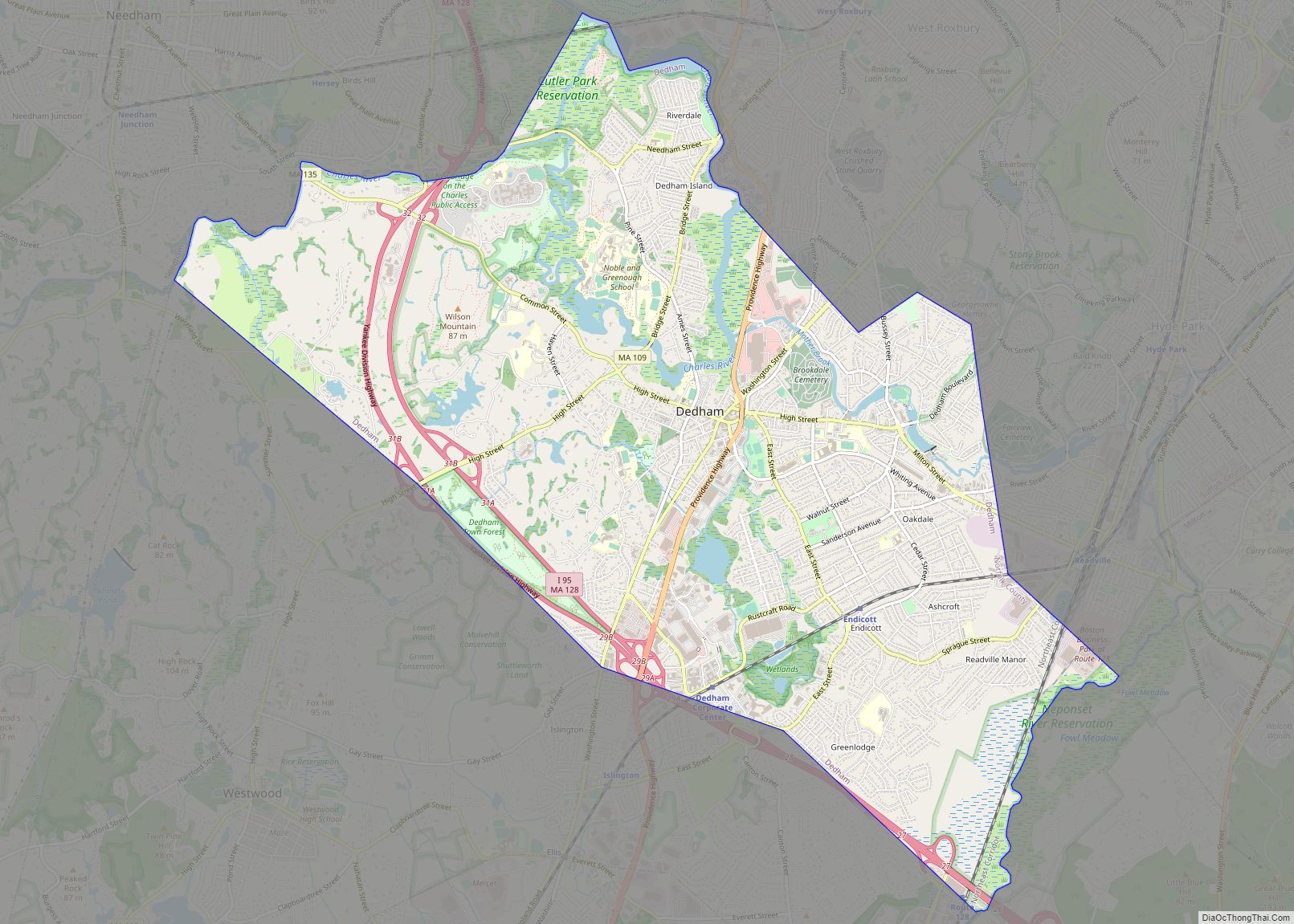
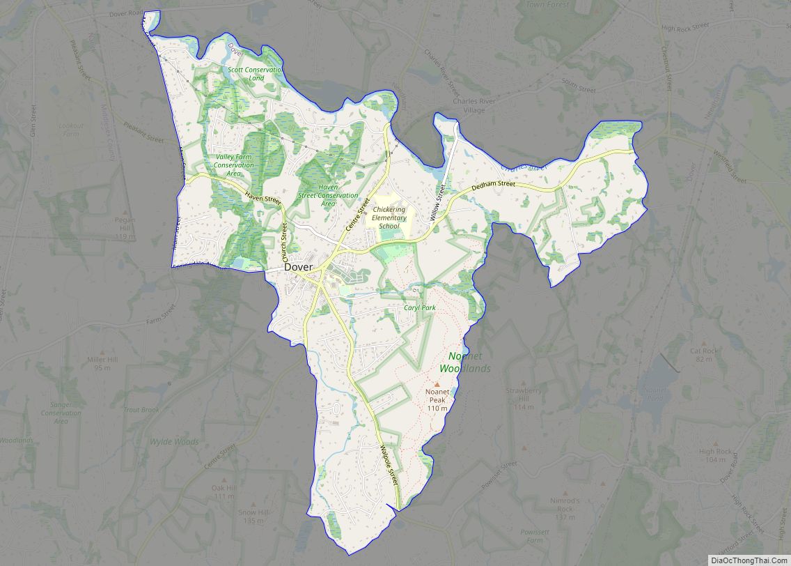
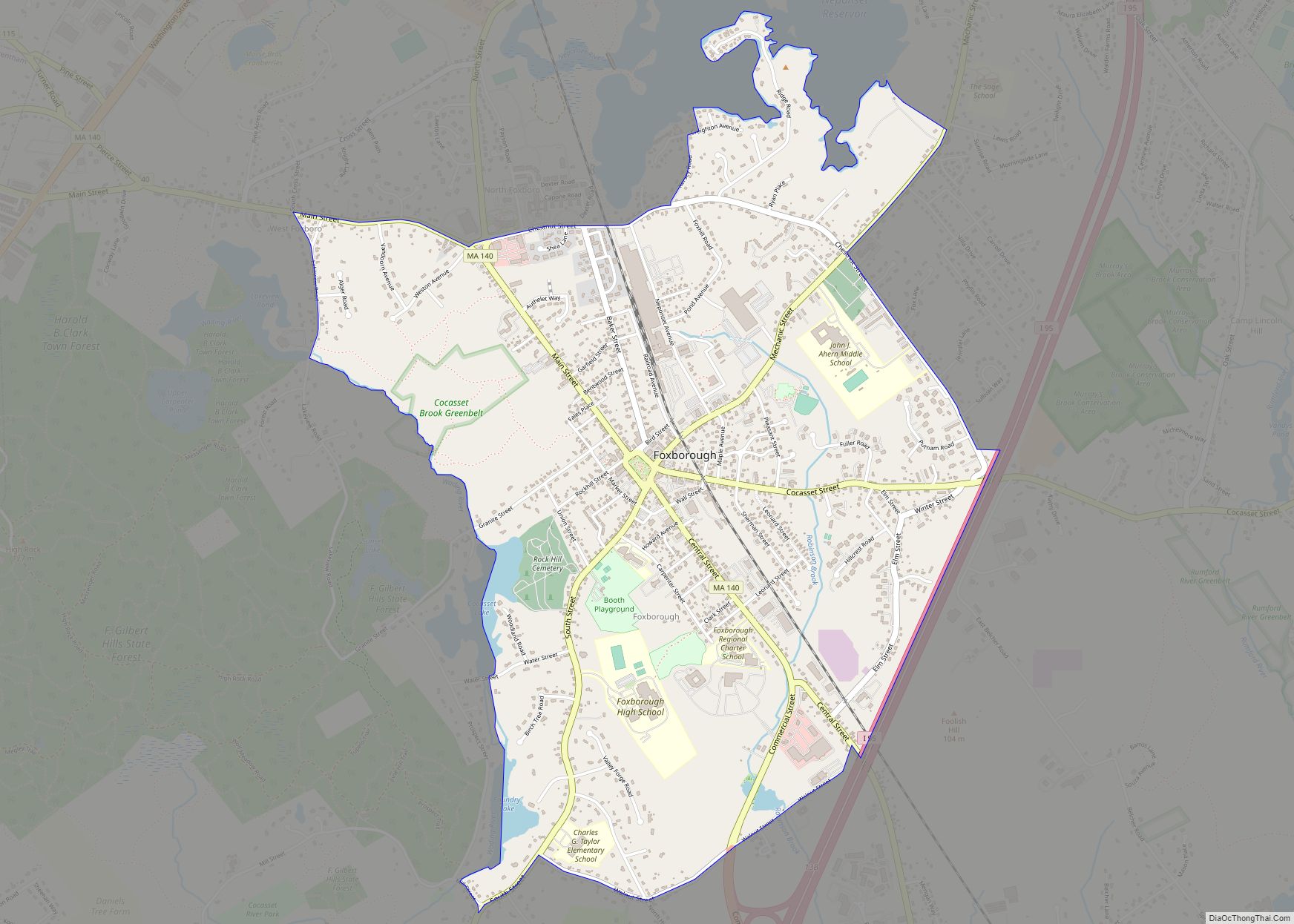
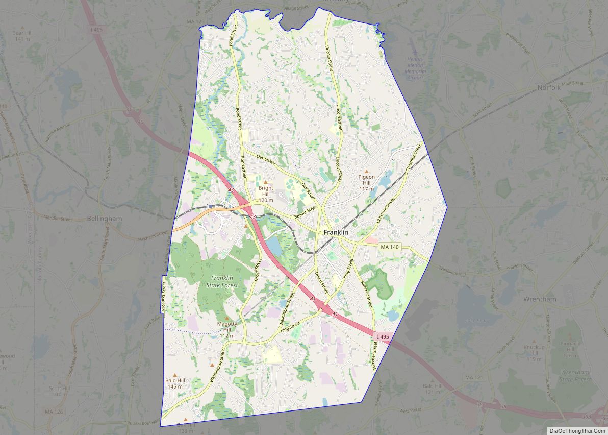
Map of Massachusetts State and its subdivision: Map of other states:- Alabama
- Alaska
- Arizona
- Arkansas
- California
- Colorado
- Connecticut
- Delaware
- District of Columbia
- Florida
- Georgia
- Hawaii
- Idaho
- Illinois
- Indiana
- Iowa
- Kansas
- Kentucky
- Louisiana
- Maine
- Maryland
- Massachusetts
- Michigan
- Minnesota
- Mississippi
- Missouri
- Montana
- Nebraska
- Nevada
- New Hampshire
- New Jersey
- New Mexico
- New York
- North Carolina
- North Dakota
- Ohio
- Oklahoma
- Oregon
- Pennsylvania
- Rhode Island
- South Carolina
- South Dakota
- Tennessee
- Texas
- Utah
- Vermont
- Virginia
- Washington
- West Virginia
- Wisconsin
- Wyoming