Needham (/ˈniːdəm/ NEED-əm) is a town in Norfolk County, Massachusetts. A suburb of Boston, its population was 32,091 at the 2020 U.S. Census. It is home of Olin College.
| Name: | Needham CDP |
|---|---|
| LSAD Code: | 57 |
| LSAD Description: | CDP (suffix) |
| State: | Massachusetts |
| County: | Norfolk County |
| Incorporated: | 1711 |
| Elevation: | 49 m (162 ft) |
| Total Area: | 32.9 km² (12.7 sq mi) |
| Land Area: | 32.7 km² (12.6 sq mi) |
| Water Area: | 0.2 km² (0.1 sq mi) |
| Total Population: | 32,091 |
| Population Density: | 981.4/km² (2,546.9/sq mi) |
| ZIP code: | 02492 and 02494 |
| Area code: | 781 |
| FIPS code: | 2544140 |
| GNISfeature ID: | 0618325 |
| Website: | www.needhamma.gov |
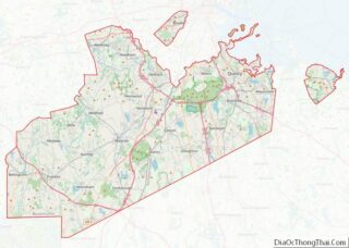
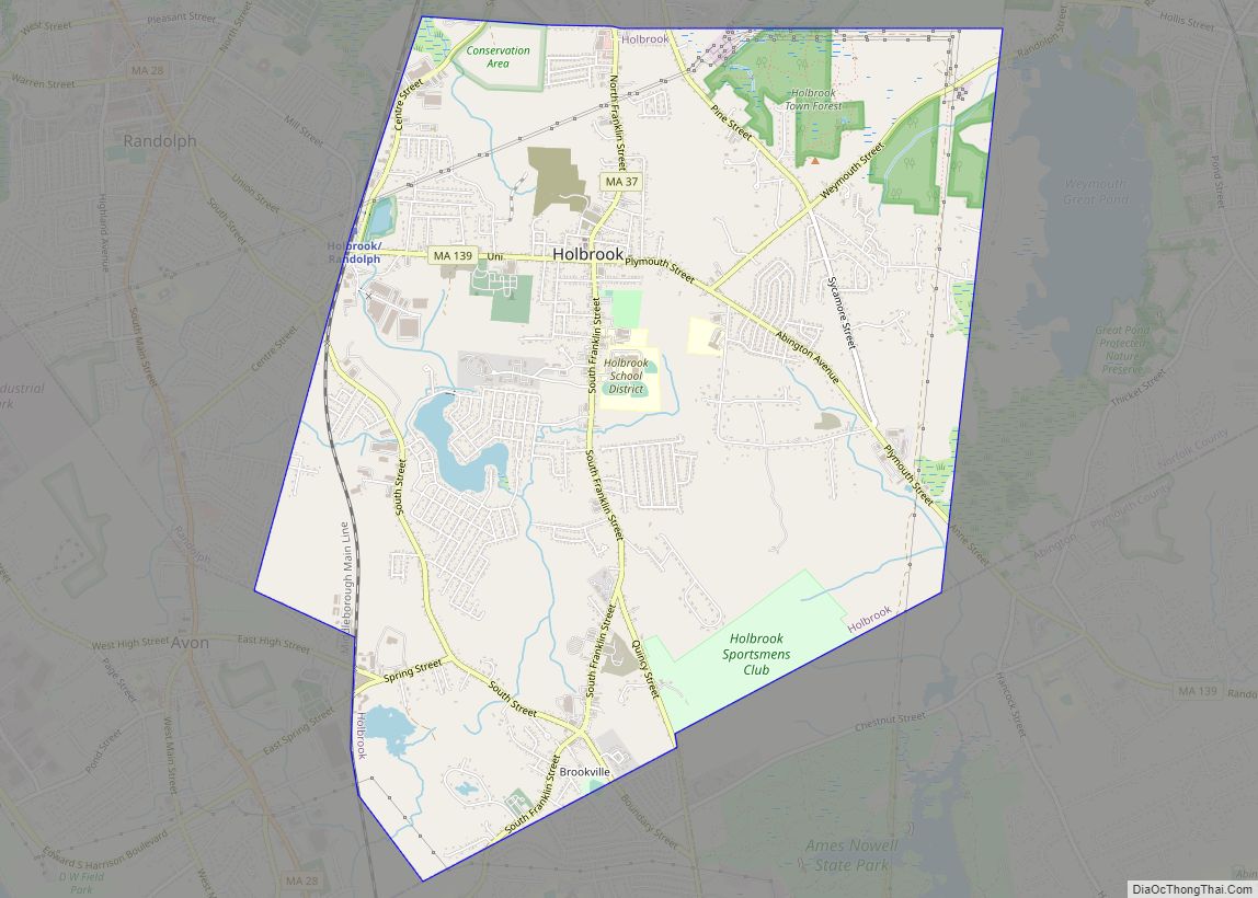
Online Interactive Map
Click on ![]() to view map in "full screen" mode.
to view map in "full screen" mode.
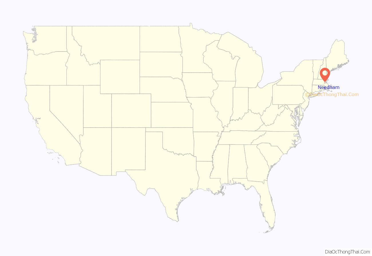
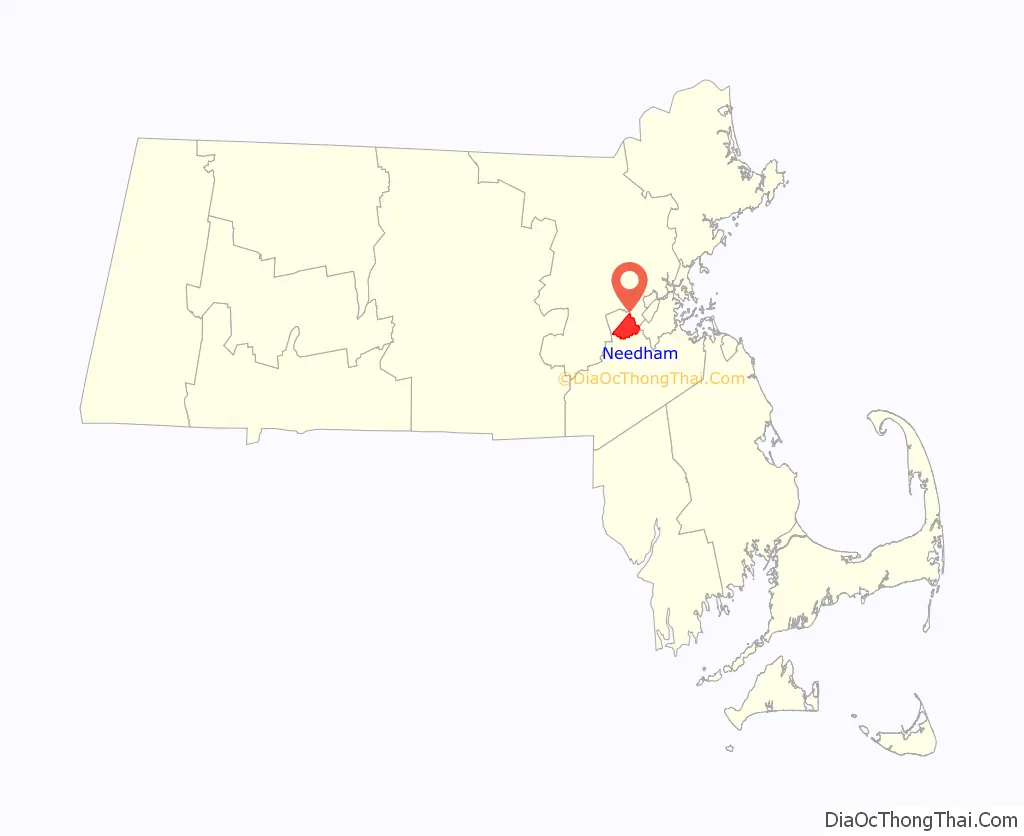
Needham location map. Where is Needham CDP?
History
Early settlement
Needham was first settled in 1680 with the purchase of a tract of land measuring 4 miles (6.4 km) by 5 miles (8.0 km) from Chief Nehoiden for the sum of 10 pounds, 40 acres (160,000 m) of land, and 40 shillings worth of corn. It was officially incorporated in 1711. Originally part of the Dedham Grant, Needham split from Dedham and was named after the town of Needham Market in Suffolk, England.
Just 15 months after asking for their own church, 40 men living on the north side of the Charles River suddenly asked the General Court to separate them from Dedham. Their petition cited the inadequate services provided, namely schools and churches. They also said that, if they were simply to be made a precinct instead of a separate town, that they would suffer political reprisals.
Dedham agreed that the services were inadequate and did not oppose the separation, but did try to reduce the amount of land the separatists were seeking. Dedham also asked for a delay of one year. The General Court agreed with the petitioners, however, and created the new town of Needham with the original boundaries requested.
Those who remained in Dedham still held rights to the unallotted lands in Needham, however, and any decrease in taxes would be offset by a decrease in expenditures. There may have also been some satisfaction in separating themselves from those on the other side of the 1704 power struggle.
By the 1770s settlers in the western part of the town who had to travel a long distance to the meeting house on what is now Central Avenue sought to form a second parish in the town. Opposition to this desire created conflict, and in 1774 a mysterious fire destroyed the existent meeting house. Some time afterwards the West Parish was formed.
Growth and industry
In 1857 the City of Boston began a project to fill in the Back Bay with landfill by filling the tidewater flats of the Charles River. The fill to reclaim the bay from the water was obtained from Needham, Massachusetts from the area of present-day Route 128. The firm of Goss and Munson, railroad contractors, built 6 miles (9.7 km) of railroad from Needham and their 35-car trains made 16 trips a day to Back Bay. The filling of present-day Back Bay was completed by 1882; filling reached Kenmore Square in 1890, and finished in the Fens in 1900. The project was the largest of a number of land reclamation projects, beginning in 1820, which, over the course of time, more than doubled the size of the original Boston peninsula.
In 1865, William Carter established a knitting mill company in Needham Heights that would eventually become a major manufacturer and leading brand of children’s apparel in the United States. The site of Mill #1 currently houses the Avery Manor assisted living center, while Mill #2 stood along the shores of Rosemary Lake. By the 1960s, the company owned seven mills in Massachusetts and the south. The Carter family sold the business in 1990, after which Carter’s, Inc. moved its headquarters to Atlanta, Georgia.
In the late 1860s William Emerson Baker moved to Needham. A notably wealthy man due to his having improved the mechanical sewing machine, Baker assembled a parcel of land exceeding 800 acres (3.2 km) and named it Ridge Hill Farm. He built two man made lakes on his property, including Sabrina lake near present-day Locust Lane. Baker turned part of his property into an amusement park with exotic animals, tunnels, trick floors and mirrors. In 1888 he built a sizable hotel, near the intersection of present-day Whitman Road and Charles River Street, called the Hotel Wellesley which had a capacity of over 300 guests. The hotel burned to the ground on December 19, 1891.
In 1891, George Walker, Boston owner of a lithograph company, and Gustavos Gordon, scientist, formed Walker-Gordon Laboratories to develop processes for the prevention of contamination of milk and to answer the call by enlightened physicians for better babies’ milk formulas. This plant was located in the Charles River Village section of Needham with another large facility in New Jersey. The scientific dairy production facilities of the Walker-Gordon Dairy Farm were widely advertised and utilized modern advancements in the handling of milk products.
Incorporation of Wellesley
In 1881 the West Parish was separately incorporated as the town of Wellesley. The following year, Needham and Wellesley high schools began playing an annual football game on Thanksgiving, now the second-longest running high school football rivalry in the United States (and longest such contest on Thanksgiving). Also the longest running public high school rivalry. In 2013 Wellesley broke a three-year Thanksgiving game losing streak to the Needham Rockets, defeating them 22–6. The Wellesley Raiders now hold a 60–57–9 advantage in the historic rivalry.
With the loss of the West Parish to Wellesley, the town lost its town hall and plans to build a new one began in 1902 with the selection of a building committee. The cornerstone was laid by the Grand Lodge of Masons on September 2, 1902 and the building was dedicated on December 22, 1903. The total cost for the hall was $57,500 including furnishings. Because it was located on the town common, the cost did not include land as none was purchased. In 2011, the town hall was extensively refurbished and expanded. In the process, the second-floor meeting hall was restored to its original function and beauty.
Recent history
Needham’s population grew by over 50 percent during the 1930s.
In 2005, Needham became the first jurisdiction in the world to raise the age to legally buy tobacco products to 21.
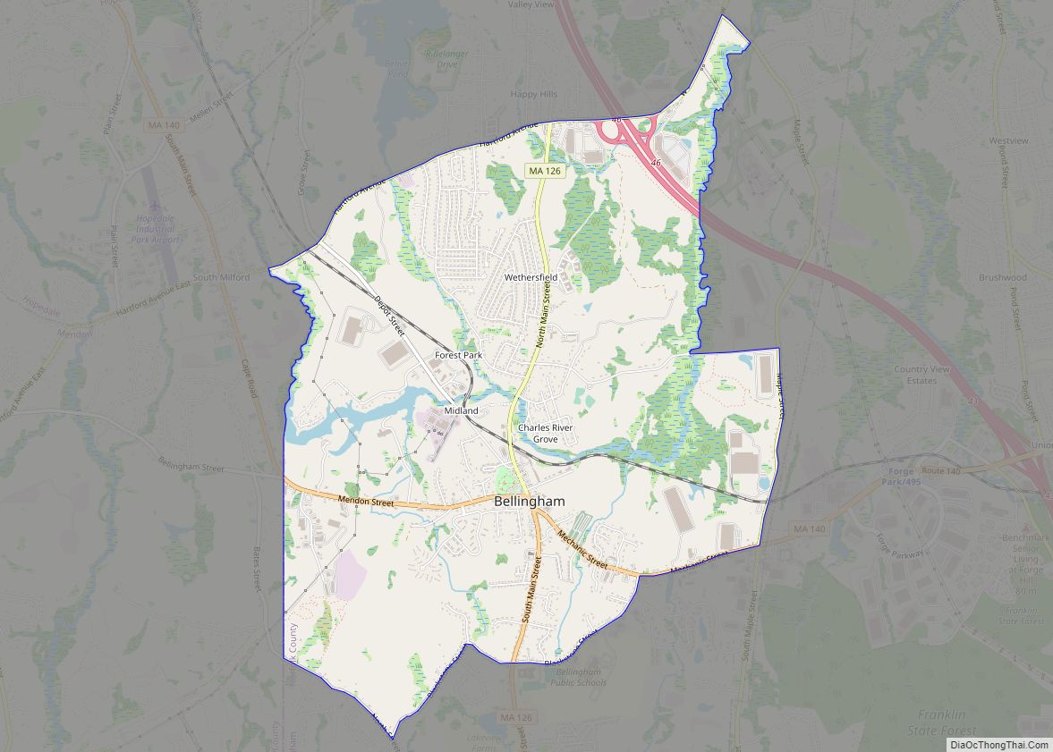
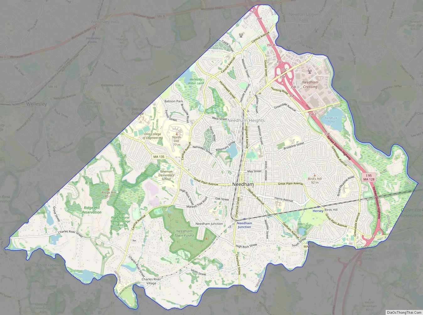
Needham Road Map
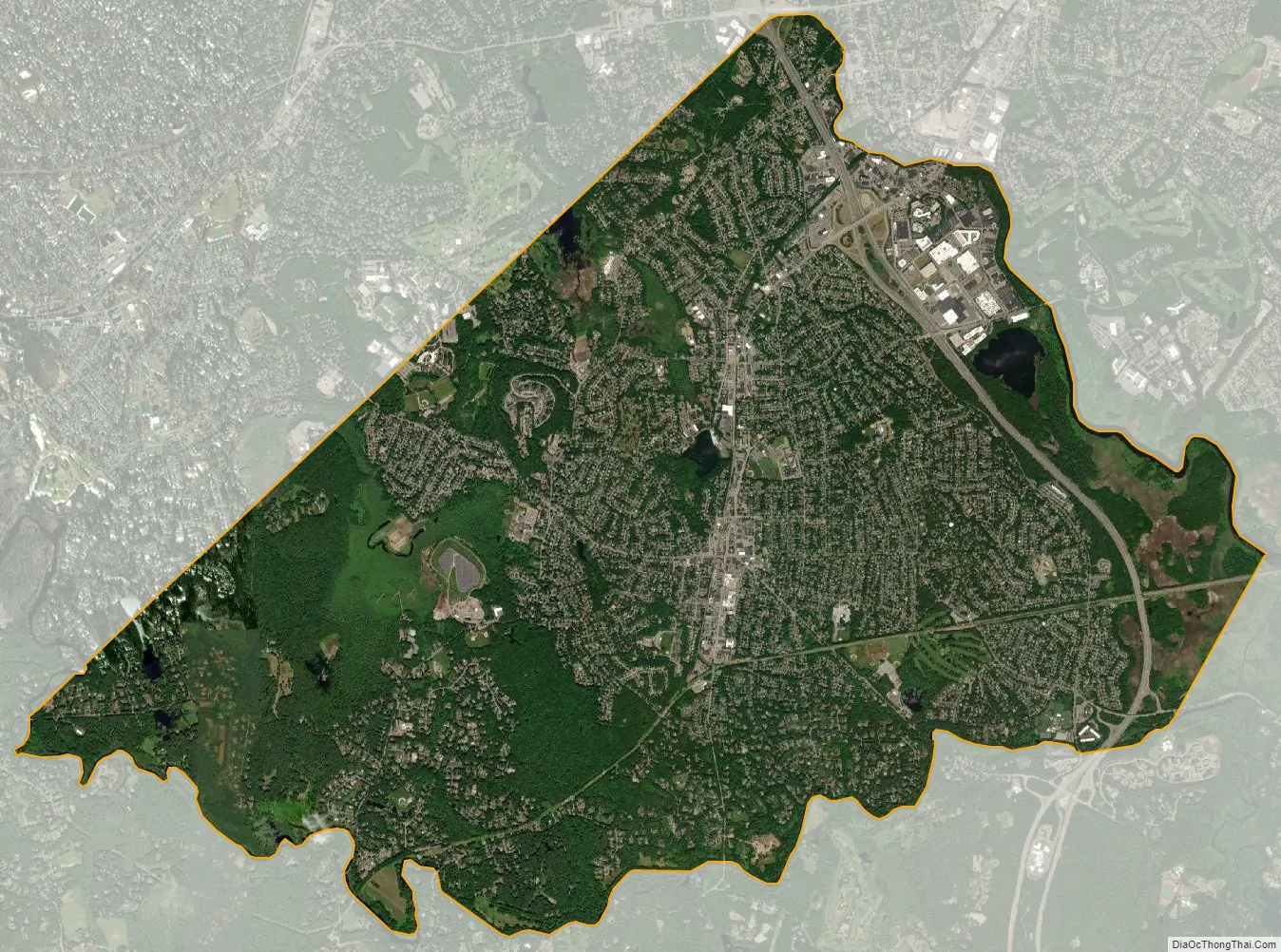
Needham city Satellite Map
Geography
According to the United States Census Bureau, the town has a total area of 12.7 square miles (32.9 km), of which 12.6 square miles (32.7 km) is land and 0.1 square mile (0.2 km) is water.
Needham’s area is roughly in the shape of an acute, northward-pointing triangle. The Charles River forms nearly all of the southern and northeastern boundaries, the town line with Wellesley forming the third, northwestern one. In addition to Wellesley on the northwest, Needham borders Newton and the West Roxbury section of Boston on the northeast, and Dover, Westwood, and Dedham on the south. The majority of Cutler Park is in Needham and is located along the Charles River and the border with Newton and West Roxbury. Elevations in Needham range from 85 feet above sea level at Rosemary Meadows to 180 feet at Needham Square and 300 feet at Bird’s Hill.
Climate
Needham has a warm-summer humid continental climate (Dfb under the Köppen climate classification system), with high humidity and precipitation year-round.
See also
Map of Massachusetts State and its subdivision: Map of other states:- Alabama
- Alaska
- Arizona
- Arkansas
- California
- Colorado
- Connecticut
- Delaware
- District of Columbia
- Florida
- Georgia
- Hawaii
- Idaho
- Illinois
- Indiana
- Iowa
- Kansas
- Kentucky
- Louisiana
- Maine
- Maryland
- Massachusetts
- Michigan
- Minnesota
- Mississippi
- Missouri
- Montana
- Nebraska
- Nevada
- New Hampshire
- New Jersey
- New Mexico
- New York
- North Carolina
- North Dakota
- Ohio
- Oklahoma
- Oregon
- Pennsylvania
- Rhode Island
- South Carolina
- South Dakota
- Tennessee
- Texas
- Utah
- Vermont
- Virginia
- Washington
- West Virginia
- Wisconsin
- Wyoming