Algonquin is a census-designated place (CDP) in Dorchester County, Maryland, United States. The population was 1,241 at the 2010 census. The community was named for the Algonquin people, one of the Native American tribes in the East.
| Name: | Algonquin CDP |
|---|---|
| LSAD Code: | 57 |
| LSAD Description: | CDP (suffix) |
| State: | Maryland |
| County: | Dorchester County |
| Elevation: | 13 ft (4 m) |
| Total Area: | 2.84 sq mi (7.37 km²) |
| Land Area: | 0.75 sq mi (1.95 km²) |
| Water Area: | 2.09 sq mi (5.42 km²) |
| Total Population: | 1,220 |
| Population Density: | 1,624.50/sq mi (627.08/km²) |
| ZIP code: | 21613 |
| Area code: | 410 and 443 and 667 |
| FIPS code: | 2400712 |
| GNISfeature ID: | 0596419 |
Online Interactive Map
Click on ![]() to view map in "full screen" mode.
to view map in "full screen" mode.
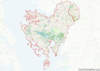
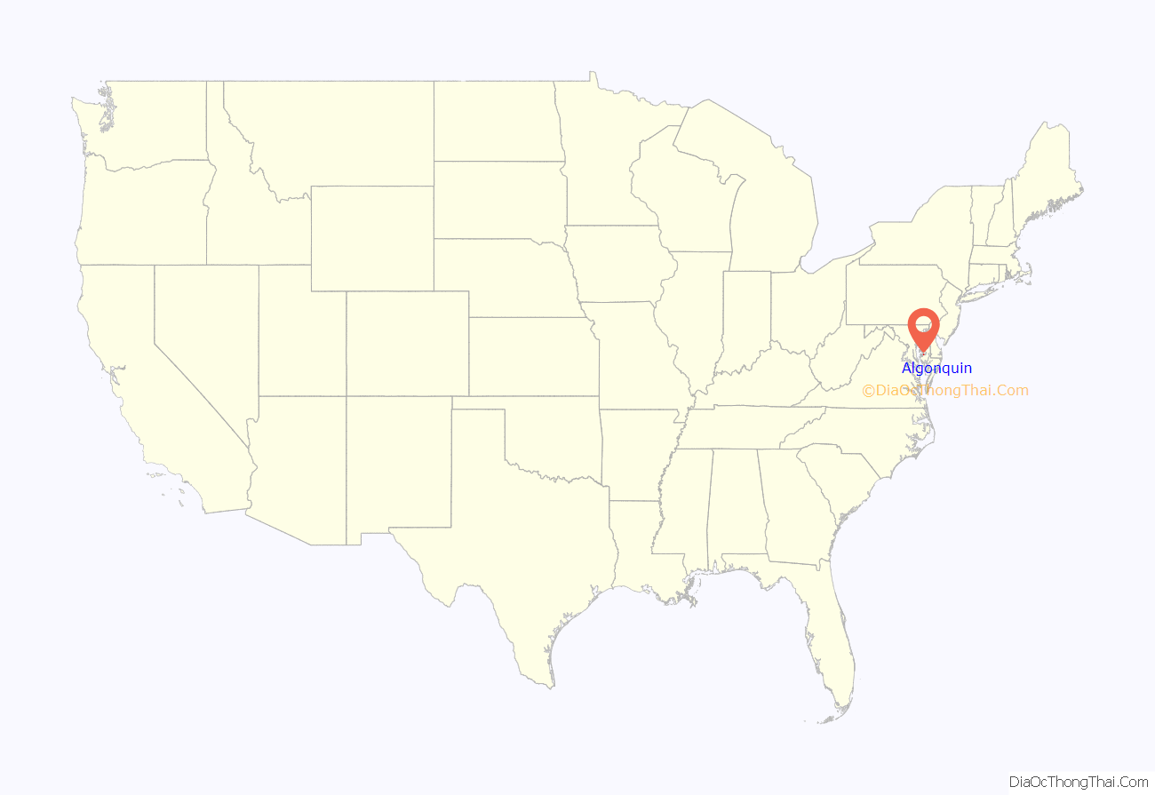
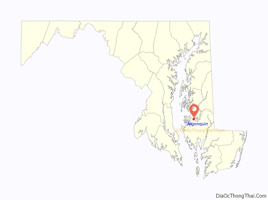
Algonquin location map. Where is Algonquin CDP?
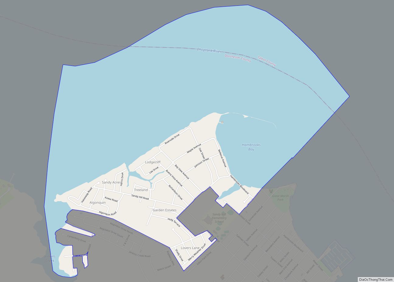
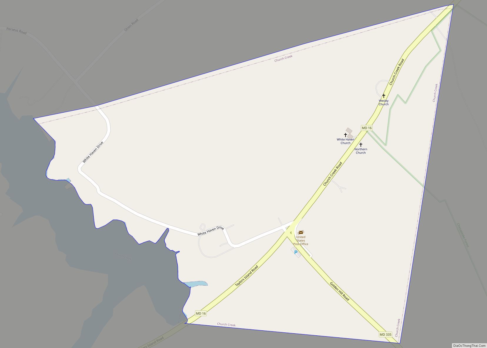
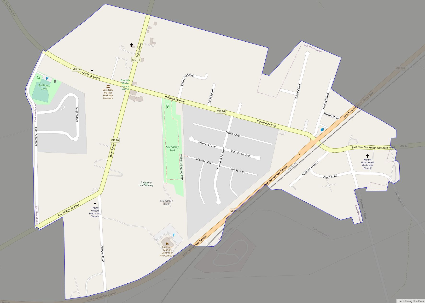
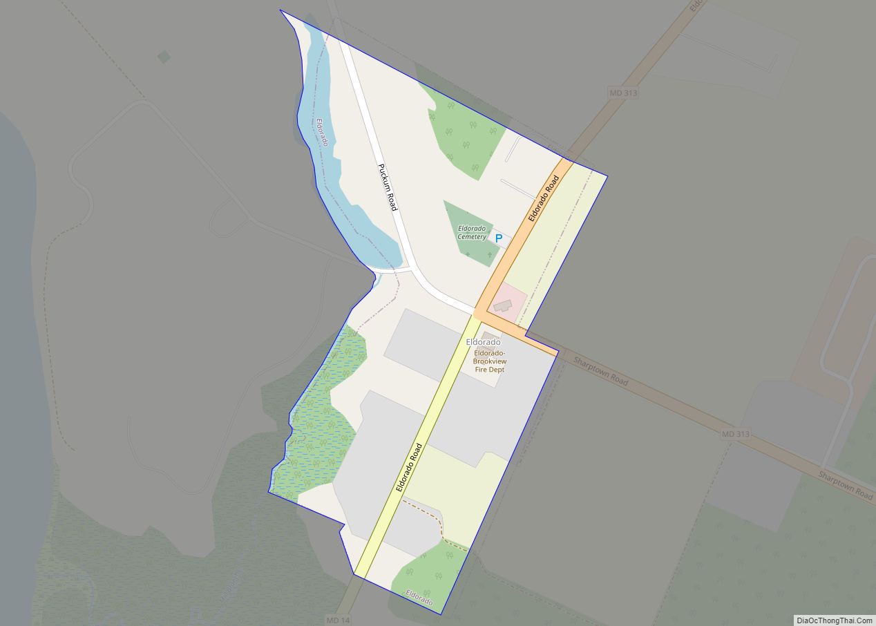
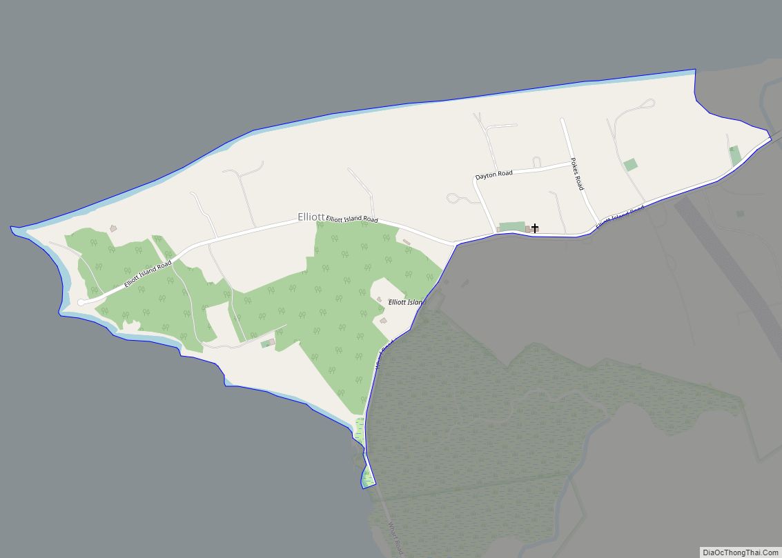
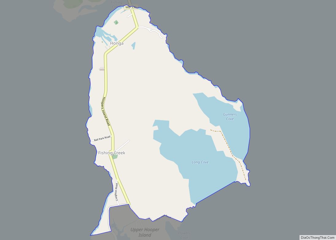
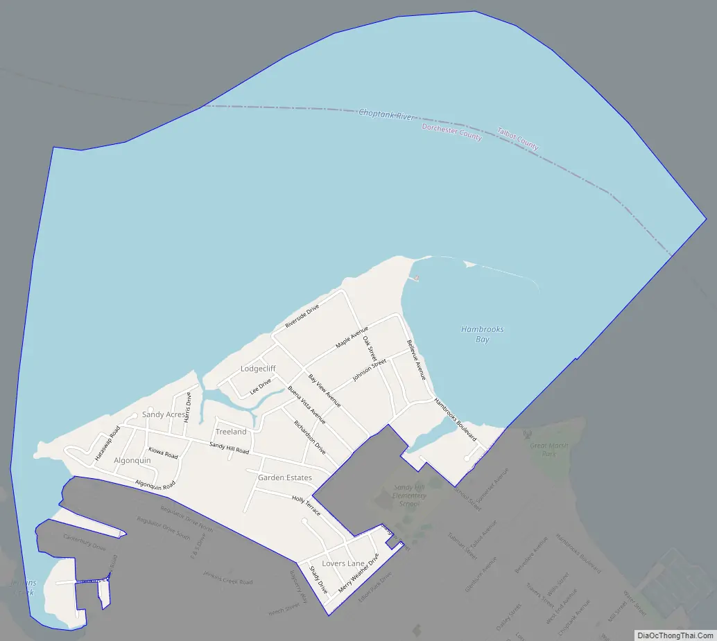
Algonquin Road Map
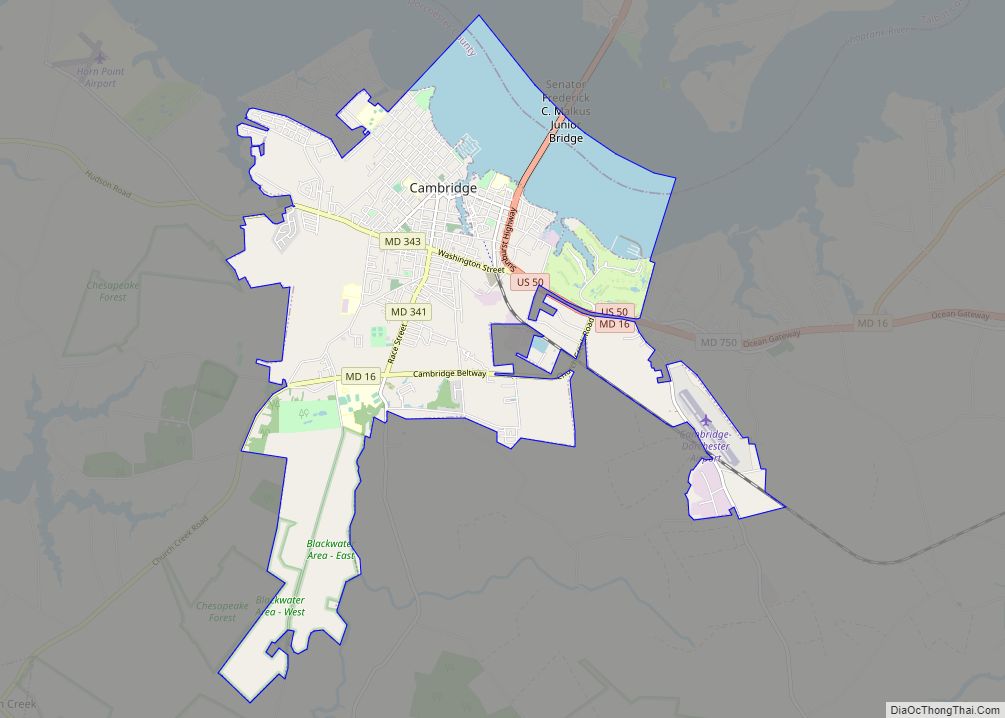
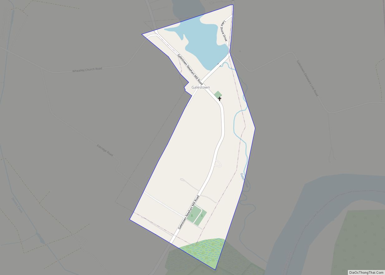
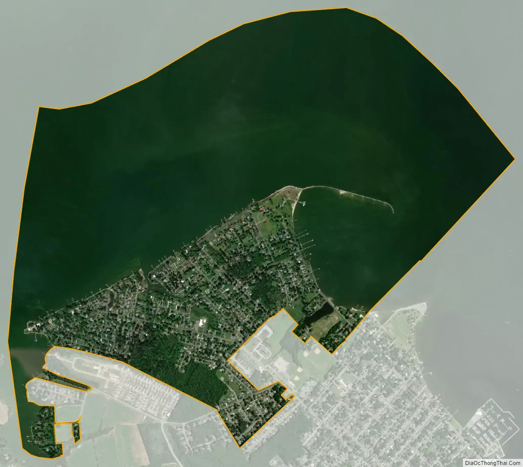
Algonquin city Satellite Map
Geography
Algonquin is located in northern Dorchester County at 38°35′4″N 76°5′48″W / 38.58444°N 76.09667°W / 38.58444; -76.09667 (38.584385, −76.096703). It is bordered to the south and east by the city of Cambridge, the county seat. The northern limit of the CDP is the center of the tidal Choptank River, an arm of Chesapeake Bay.
According to the United States Census Bureau, the Algonquin CDP has a total area of 2.8 square miles (7.3 km), of which 0.73 square miles (1.9 km) is land and 2.1 square miles (5.4 km), or 73.85%, is water.
See also
Map of Maryland State and its subdivision: Map of other states:- Alabama
- Alaska
- Arizona
- Arkansas
- California
- Colorado
- Connecticut
- Delaware
- District of Columbia
- Florida
- Georgia
- Hawaii
- Idaho
- Illinois
- Indiana
- Iowa
- Kansas
- Kentucky
- Louisiana
- Maine
- Maryland
- Massachusetts
- Michigan
- Minnesota
- Mississippi
- Missouri
- Montana
- Nebraska
- Nevada
- New Hampshire
- New Jersey
- New Mexico
- New York
- North Carolina
- North Dakota
- Ohio
- Oklahoma
- Oregon
- Pennsylvania
- Rhode Island
- South Carolina
- South Dakota
- Tennessee
- Texas
- Utah
- Vermont
- Virginia
- Washington
- West Virginia
- Wisconsin
- Wyoming