Baltimore Highlands is a census-designated place (CDP) in Baltimore County, Maryland, United States, directly south of the city of Baltimore. The population was 7,019 at the 2010 census. At the 2000 census and earlier, the area was delineated as part of the Lansdowne-Baltimore Highlands CDP.
| Name: | Baltimore Highlands CDP |
|---|---|
| LSAD Code: | 57 |
| LSAD Description: | CDP (suffix) |
| State: | Maryland |
| County: | Baltimore County |
| Total Area: | 1.82 sq mi (4.71 km²) |
| Land Area: | 1.73 sq mi (4.49 km²) |
| Water Area: | 0.08 sq mi (0.22 km²) |
| Total Population: | 7,740 |
| Population Density: | 4,463.67/sq mi (1,723.64/km²) |
| ZIP code: | 21227 |
| Area code: | 410 and 443 |
| FIPS code: | 2404050 |
Online Interactive Map
Click on ![]() to view map in "full screen" mode.
to view map in "full screen" mode.
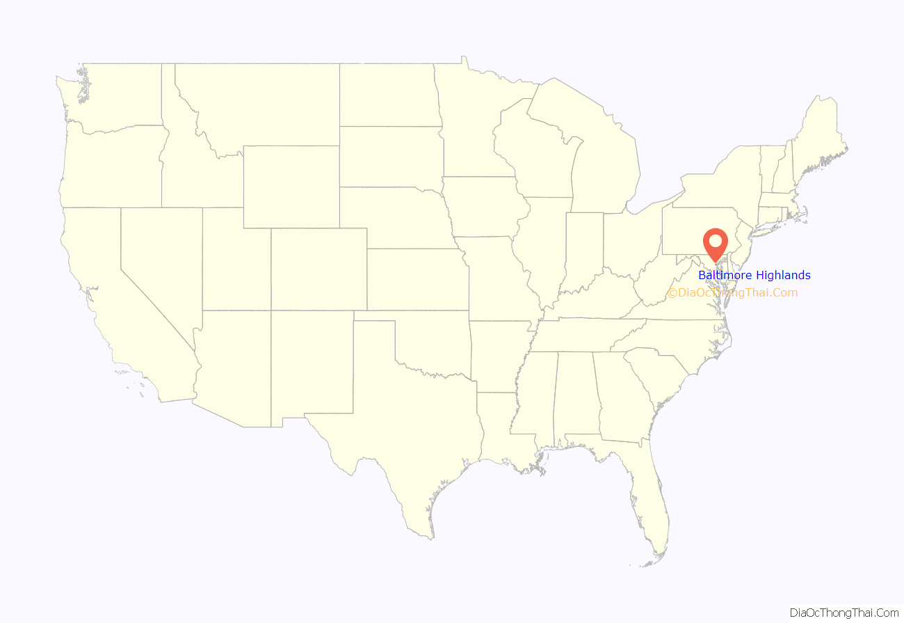
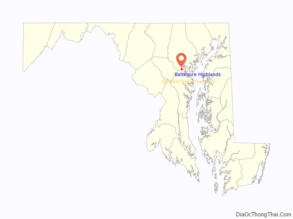
Baltimore Highlands location map. Where is Baltimore Highlands CDP?
History
In the area known as Baltimore Highlands is a legendary mansion called English Consul. The land and house were owned by William Dawson, the first English Consul to Maryland. One legend claims that Dawson had a brother who was transported from England to America in disgrace. Each year he was to receive a whip lashing as punishment for the crime he had committed. This took place on the English Consul estate. Another legend has it that the mansion was a stop on the Underground Railroad before the Civil War. In 1909 a developer purchased the estate. It was eventually divided into the areas known as Baltimore Highlands, Rosemont, Friendship Gardens and the small section still called English Consul.
In the 1980s Baltimore County Recreation and Parks opened a large parcel of land for public use. Southwest Area Park is located on the Patapsco River just below Baltimore Highlands.
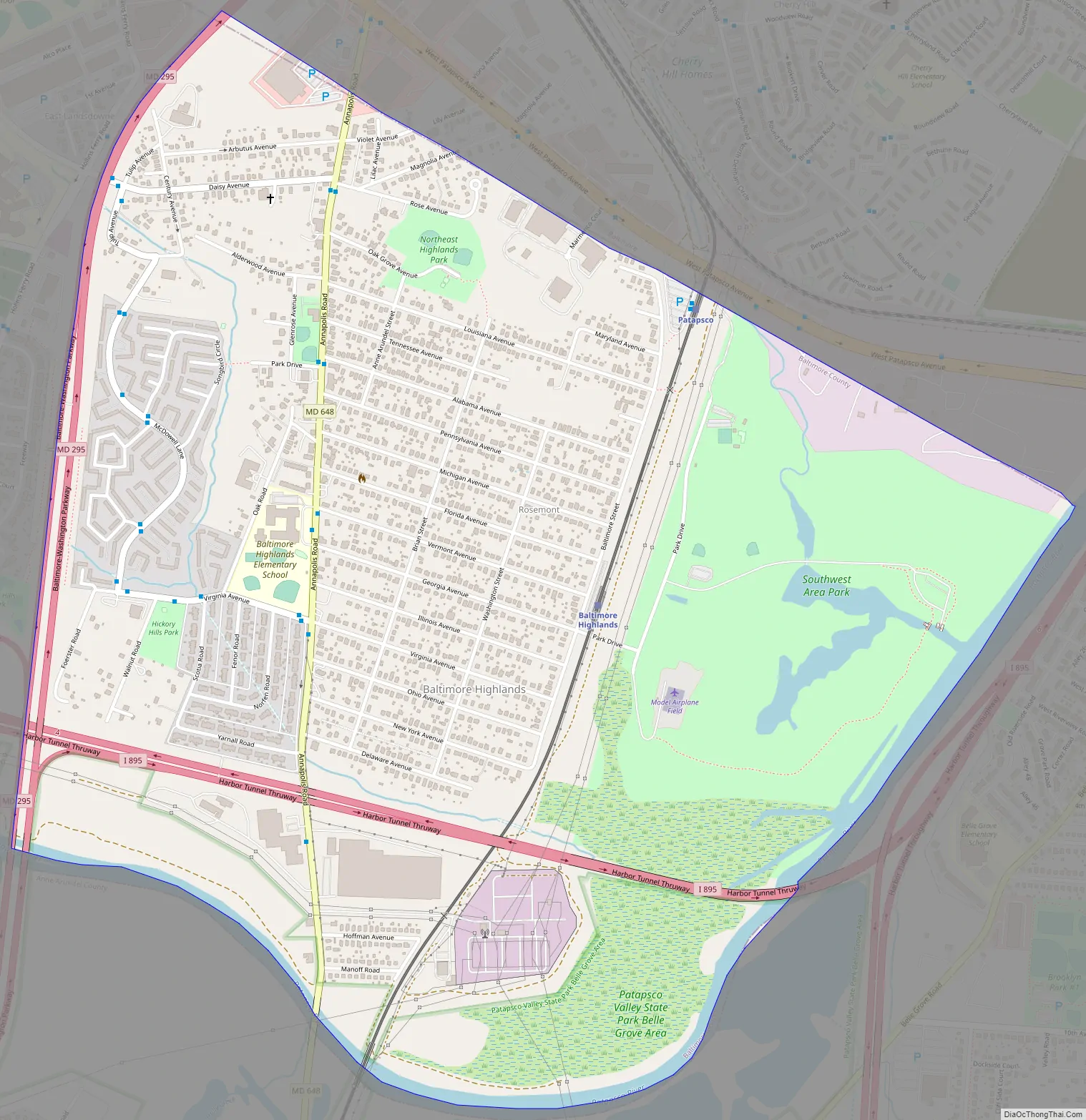
Baltimore Highlands Road Map
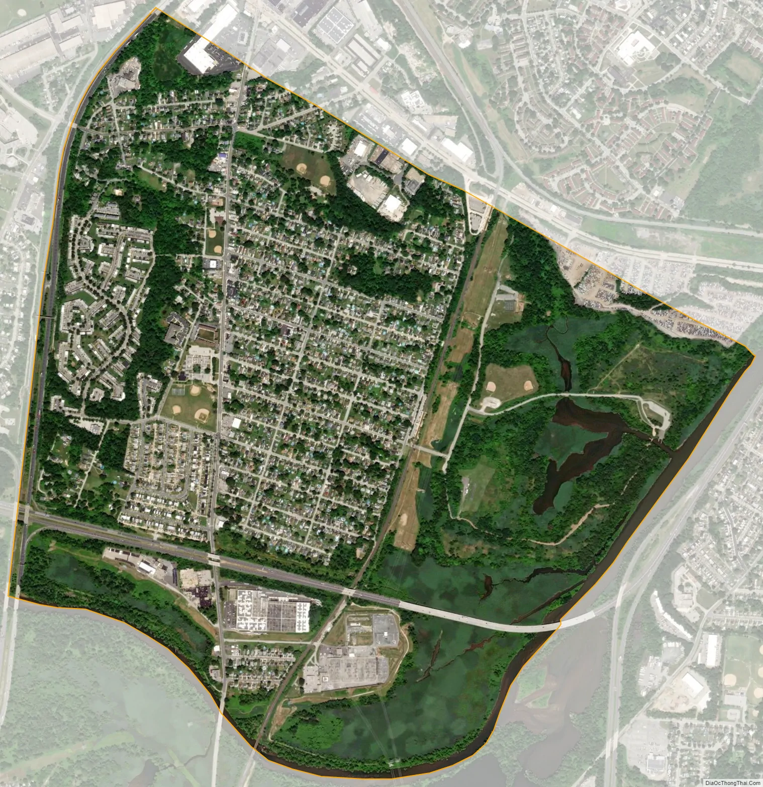
Baltimore Highlands city Satellite Map
Geography
Baltimore Highlands is located at 39°14′09″N 76°38′14″W / 39.23583°N 76.63722°W / 39.23583; -76.63722 (39.2359, −76.6374). It is bounded to the northeast by the border of Baltimore City, to the west by the Baltimore–Washington Parkway, separating the area from Lansdowne, and to the south and southeast by the Patapsco River, which forms the boundary with Anne Arundel County.
According to the United States Census Bureau, the CDP has a total area of 1.8 square miles (4.7 km), of which 1.7 square miles (4.5 km) is land and 0.08 square miles (0.2 km), or 4.80%, is water.
Transit
The community is served by Baltimore Light Rail, which stops at the Baltimore Highlands station.
Roads
Annapolis Road (Maryland Route 648) runs north–south through Baltimore Highlands. To the north it enters Baltimore City, where it crosses West Patapsco Avenue. To the south, it crosses the Patapsco River into the Pumphrey section of Anne Arundel County and an intersection with Maryland Route 170.
See also
Map of Maryland State and its subdivision: Map of other states:- Alabama
- Alaska
- Arizona
- Arkansas
- California
- Colorado
- Connecticut
- Delaware
- District of Columbia
- Florida
- Georgia
- Hawaii
- Idaho
- Illinois
- Indiana
- Iowa
- Kansas
- Kentucky
- Louisiana
- Maine
- Maryland
- Massachusetts
- Michigan
- Minnesota
- Mississippi
- Missouri
- Montana
- Nebraska
- Nevada
- New Hampshire
- New Jersey
- New Mexico
- New York
- North Carolina
- North Dakota
- Ohio
- Oklahoma
- Oregon
- Pennsylvania
- Rhode Island
- South Carolina
- South Dakota
- Tennessee
- Texas
- Utah
- Vermont
- Virginia
- Washington
- West Virginia
- Wisconsin
- Wyoming


