Arbutus is an unincorporated community and a census-designated place in Baltimore County, Maryland, United States. The population was 20,483 at the 2010 census. The census area also contains the communities of Halethorpe and Relay, in which all three names were used during the 1960 census when the area had a population of 22,402.
| Name: | Arbutus CDP |
|---|---|
| LSAD Code: | 57 |
| LSAD Description: | CDP (suffix) |
| State: | Maryland |
| County: | Baltimore County |
| Elevation: | 151 ft (46 m) |
| Total Area: | 6.53 sq mi (16.91 km²) |
| Land Area: | 6.53 sq mi (16.90 km²) |
| Water Area: | 0.00 sq mi (0.00 km²) |
| Total Population: | 21,655 |
| Population Density: | 3,318.27/sq mi (1,281.21/km²) |
| ZIP code: | 21227 |
| Area code: | 410 |
| FIPS code: | 2401975 |
| GNISfeature ID: | 0589649 |
Online Interactive Map
Click on ![]() to view map in "full screen" mode.
to view map in "full screen" mode.
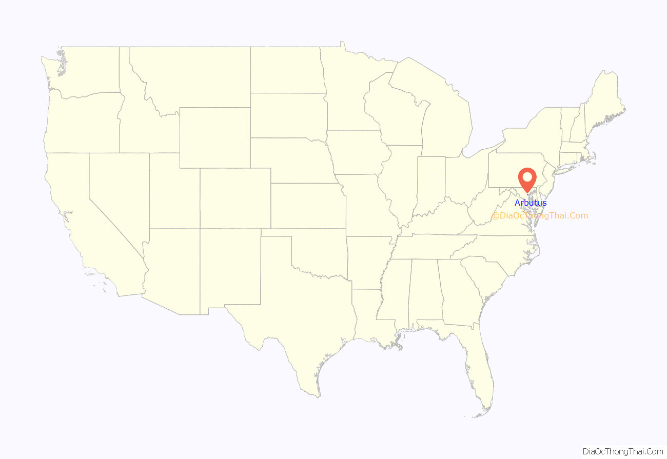
Arbutus location map. Where is Arbutus CDP?

History
The original Relay was an important station on the Baltimore and Ohio Railroad. It was where traffic from Baltimore merged with that from Washington, before continuing west along the railroad’s main line towards Wheeling, West Virginia (prior to 1863, Virginia). It was also a key junction for the railroad’s telegraph system (the first major system in the country). The Thomas Viaduct is also located in Relay. The bridge is now operated by CSX Transportation, which acquired the B&O in 1987.
Arbutus Road Map

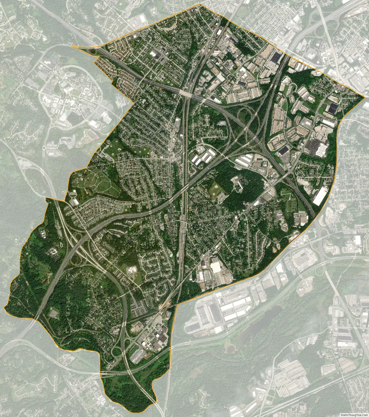
Arbutus city Satellite Map
Geography
Arbutus is located at 39°14′40″N 76°41′38″W / 39.24444°N 76.69389°W / 39.24444; -76.69389 (39.244406, −76.693928).
According to the United States Census Bureau, the CDP has a total area of 6.5 square miles (17 km), all land.
Herbert Run, a stream, runs through Arbutus and surrounding areas which splits, and becomes Herbert Run East and West.
See also
Map of Maryland State and its subdivision: Map of other states:- Alabama
- Alaska
- Arizona
- Arkansas
- California
- Colorado
- Connecticut
- Delaware
- District of Columbia
- Florida
- Georgia
- Hawaii
- Idaho
- Illinois
- Indiana
- Iowa
- Kansas
- Kentucky
- Louisiana
- Maine
- Maryland
- Massachusetts
- Michigan
- Minnesota
- Mississippi
- Missouri
- Montana
- Nebraska
- Nevada
- New Hampshire
- New Jersey
- New Mexico
- New York
- North Carolina
- North Dakota
- Ohio
- Oklahoma
- Oregon
- Pennsylvania
- Rhode Island
- South Carolina
- South Dakota
- Tennessee
- Texas
- Utah
- Vermont
- Virginia
- Washington
- West Virginia
- Wisconsin
- Wyoming


