Barrelville (historically sometimes known as Pamosa) is an unincorporated community and census-designated place (CDP) in Allegany County, Maryland, United States. As of the 2010 census, it had a population of 73. It is located between Corriganville and Mount Savage, where an 1804 road from Pennsylvania intersected the legendary Turkey Foot Road. Jennings Run flows from Mount Savage to Barrelville, where another tributary that runs south from Wellersburg, Pennsylvania, joins Jennings Run.
| Name: | Barrelville CDP |
|---|---|
| LSAD Code: | 57 |
| LSAD Description: | CDP (suffix) |
| State: | Maryland |
| County: | Allegany County |
| Elevation: | 1,000 ft (300 m) |
| Total Area: | 0.04 sq mi (0.11 km²) |
| Land Area: | 0.04 sq mi (0.11 km²) |
| Water Area: | 0.00 sq mi (0.00 km²) |
| Total Population: | 58 |
| Population Density: | 1,318.18/sq mi (509.90/km²) |
| ZIP code: | 21545 |
| FIPS code: | 2404525 |
| GNISfeature ID: | 2583577 |
Online Interactive Map
Click on ![]() to view map in "full screen" mode.
to view map in "full screen" mode.
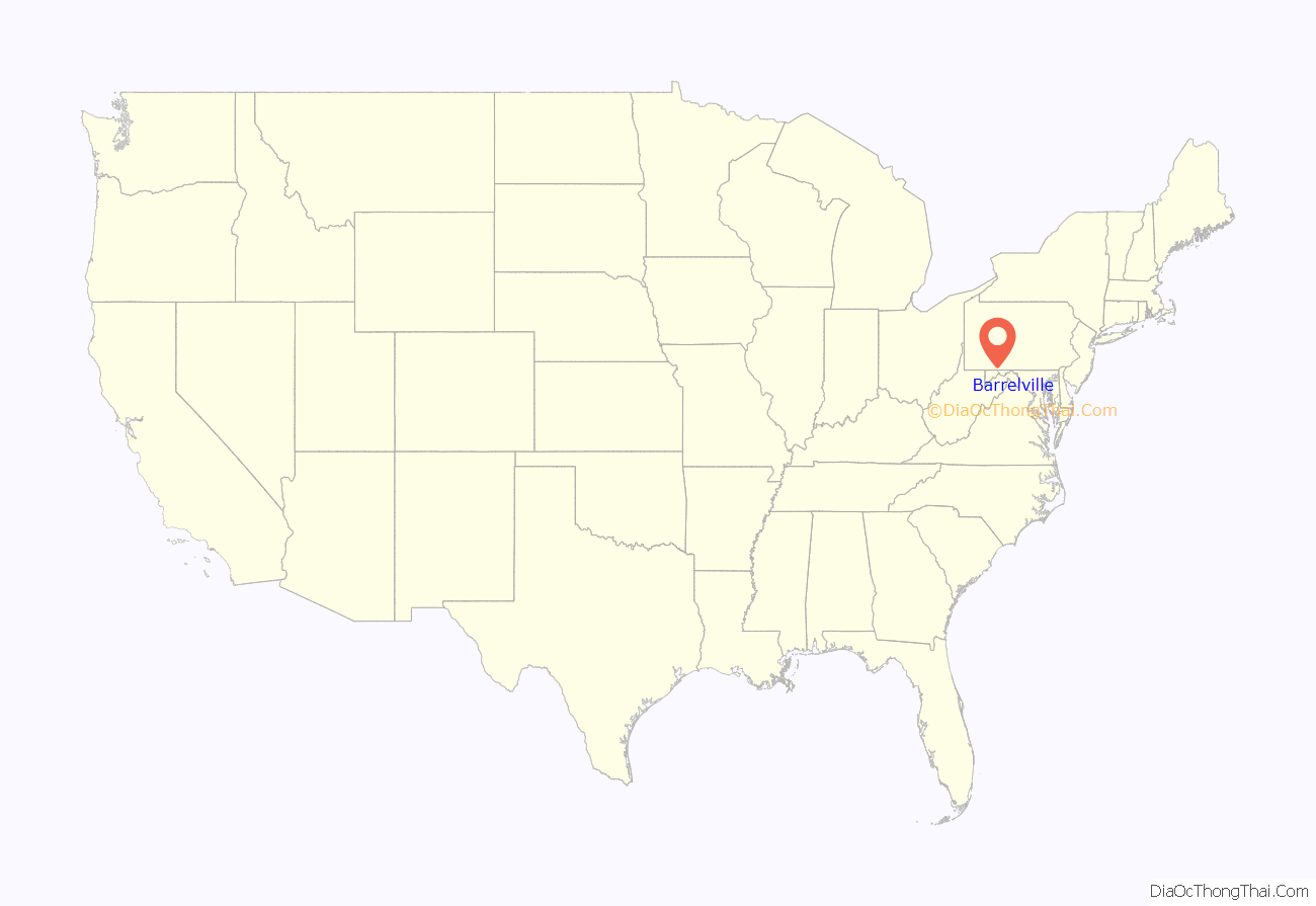
Barrelville location map. Where is Barrelville CDP?
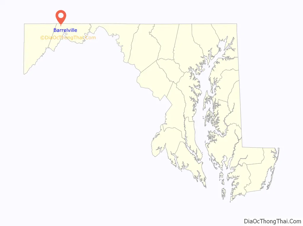
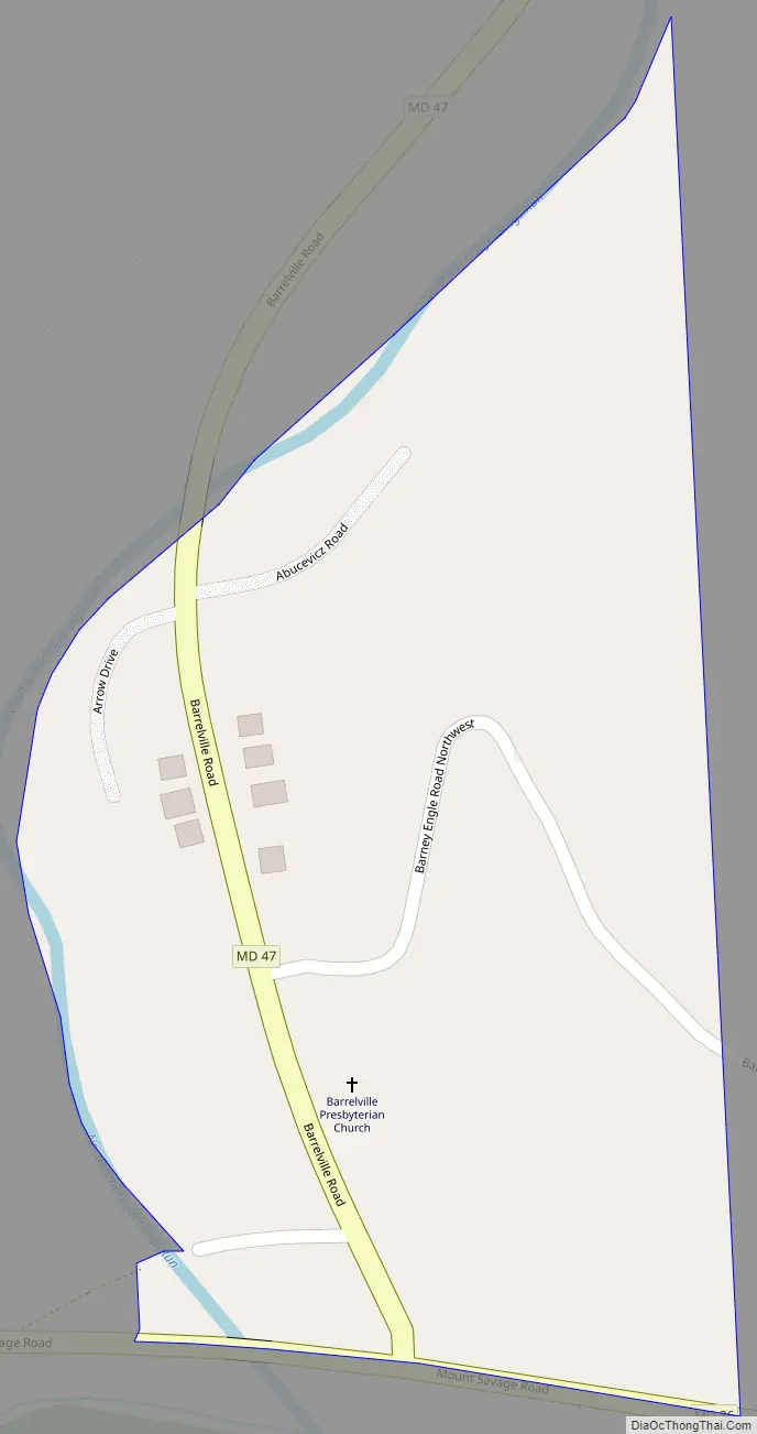
Barrelville Road Map
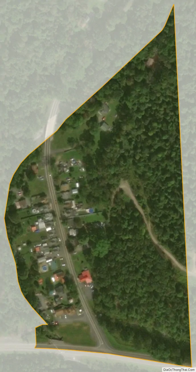
Barrelville city Satellite Map
See also
Map of Maryland State and its subdivision: Map of other states:- Alabama
- Alaska
- Arizona
- Arkansas
- California
- Colorado
- Connecticut
- Delaware
- District of Columbia
- Florida
- Georgia
- Hawaii
- Idaho
- Illinois
- Indiana
- Iowa
- Kansas
- Kentucky
- Louisiana
- Maine
- Maryland
- Massachusetts
- Michigan
- Minnesota
- Mississippi
- Missouri
- Montana
- Nebraska
- Nevada
- New Hampshire
- New Jersey
- New Mexico
- New York
- North Carolina
- North Dakota
- Ohio
- Oklahoma
- Oregon
- Pennsylvania
- Rhode Island
- South Carolina
- South Dakota
- Tennessee
- Texas
- Utah
- Vermont
- Virginia
- Washington
- West Virginia
- Wisconsin
- Wyoming


