Bowleys Quarters is an unincorporated community and census-designated place in Baltimore County, Maryland, United States, with a population of 6,755 at the 2010 census.
| Name: | Bowleys Quarters CDP |
|---|---|
| LSAD Code: | 57 |
| LSAD Description: | CDP (suffix) |
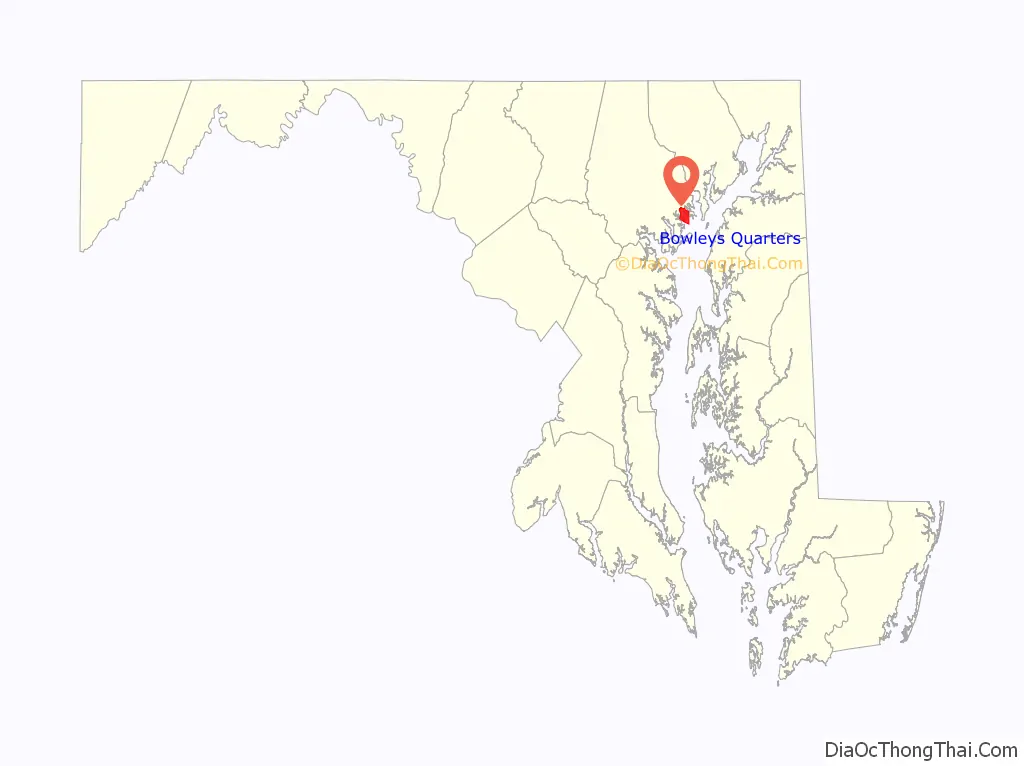
| State: | Maryland |
| County: | Baltimore County |
| Elevation: | 46 ft (14 m) |
| Total Area: | 6.13 sq mi (15.88 km²) |
| Land Area: | 3.15 sq mi (8.15 km²) |
| Water Area: | 2.98 sq mi (7.73 km²) |
| Total Population: | 6,853 |
| Population Density: | 2,179.01/sq mi (841.22/km²) |
| FIPS code: | 2408800 |
| GNISfeature ID: | 0589790 |
Online Interactive Map
Click on ![]() to view map in "full screen" mode.
to view map in "full screen" mode.
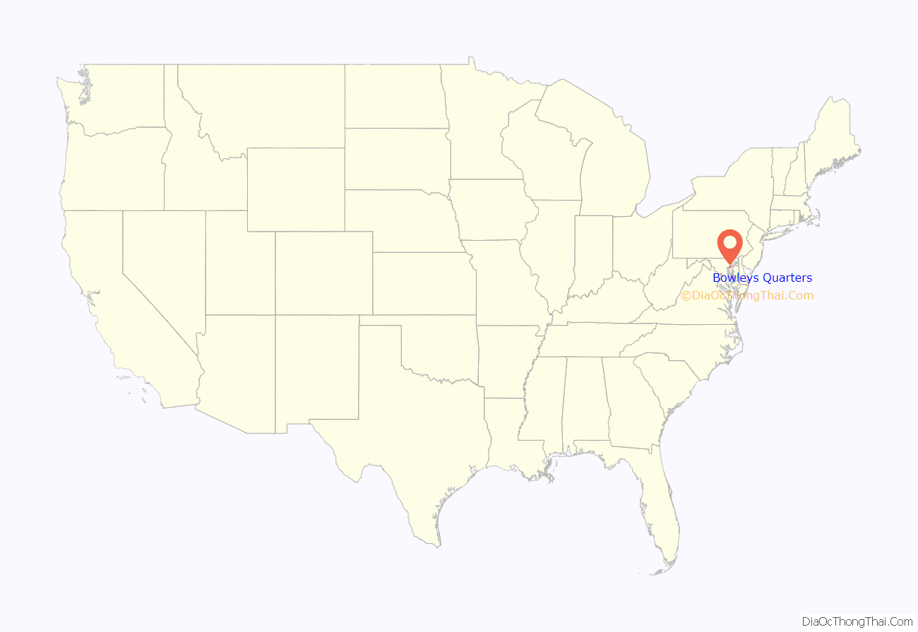
Bowleys Quarters location map. Where is Bowleys Quarters CDP?
History
Bowleys Quarters was named for Daniel Bowley, a merchant and sea captain who owned some 2,000 acres (8.1 km) around Baltimore in the mid-18th century. Bowleys Quarters was used to house his slaves. The area later became a game preserve for waterfowl and a place where presidents and others, including Babe Ruth, came to hunt ducks. The area eventually became known as a vacation spot, and many summer homes were built along the water. Many blue-collar workers were attracted during the industrial boom of the 1920s through the 1950s. Many worked at the nearby Glenn L. Martin company (now Lockheed Martin) and Bethlehem Steel. The community experienced an economic downturn with downsizing of the Martin facility and other area businesses, and Bowleys Quarters became a mix of middle-class homes juxtaposed with modern waterfront homes. Increased interest in waterfront property in the 1990s, combined with the devastation of Hurricane Isabel, has led to revitalization, with some new homes selling for more than $1 million. Once predominantly populated by low-income to middle-class families, the community is now highly desirable for waterfront living.
In September 2003, Bowleys Quarters was substantially damaged by Hurricane Isabel and the resulting flood. According to The Baltimore Sun, Isabel destroyed 210 houses in Bowleys Quarters and caused major damage to 632 others.
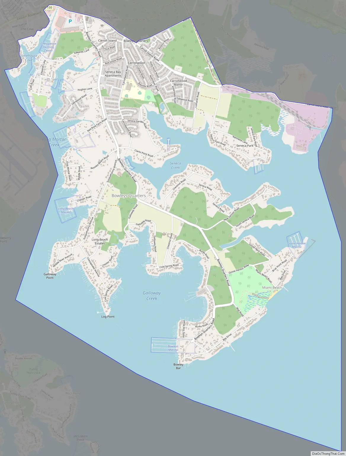
Bowleys Quarters Road Map
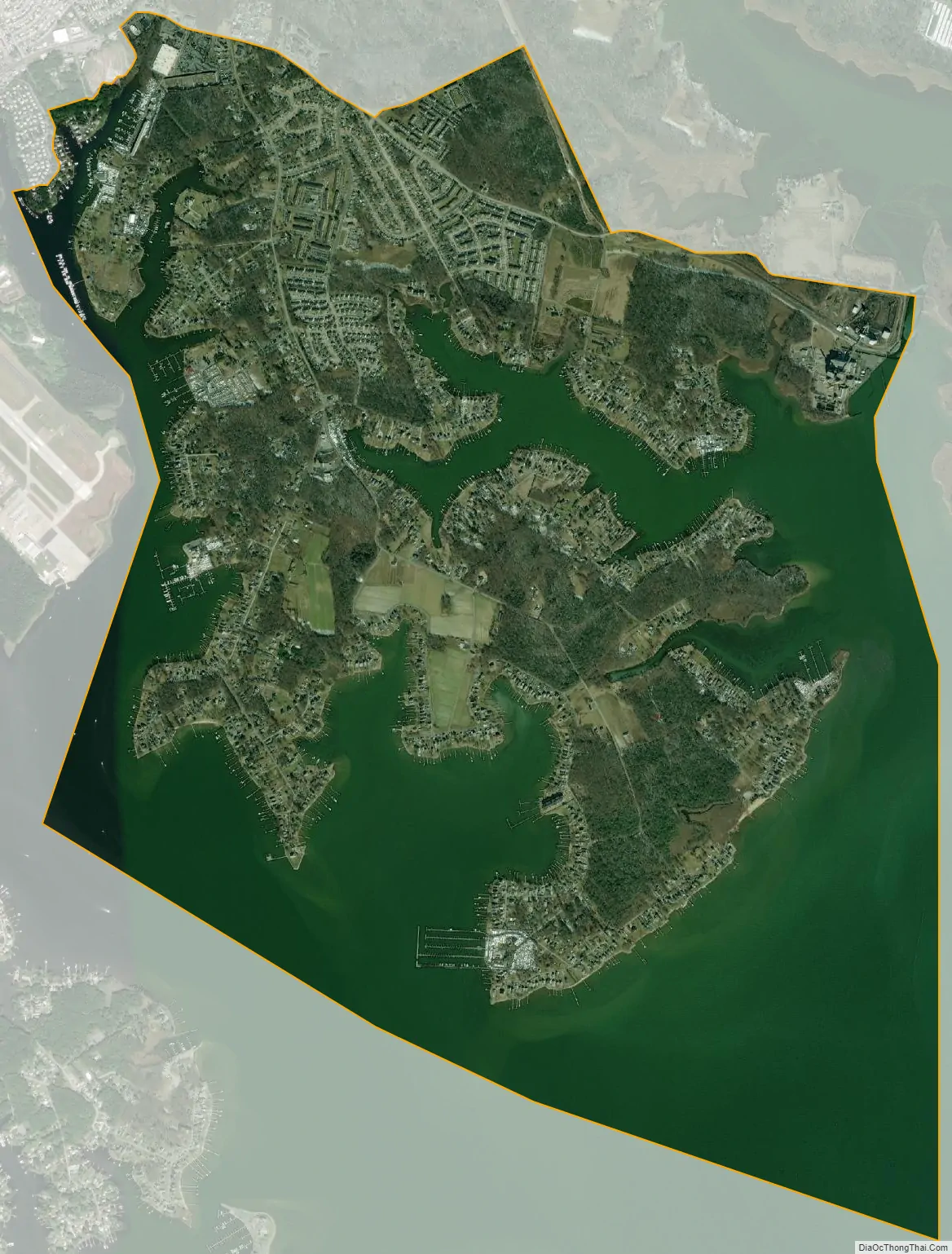
Bowleys Quarters city Satellite Map
Geography
Bowleys Quarters is located at 39°19′17″N 76°23′18″W / 39.321440°N 76.388212°W / 39.321440; -76.388212.
According to the United States Census Bureau, the CDP has a total area of 6.1 square miles (16 km), of which 3.2 square miles (8.3 km) is land and 2.9 square miles (7.5 km), or 47.39%, is water.
See also
Map of Maryland State and its subdivision: Map of other states:- Alabama
- Alaska
- Arizona
- Arkansas
- California
- Colorado
- Connecticut
- Delaware
- District of Columbia
- Florida
- Georgia
- Hawaii
- Idaho
- Illinois
- Indiana
- Iowa
- Kansas
- Kentucky
- Louisiana
- Maine
- Maryland
- Massachusetts
- Michigan
- Minnesota
- Mississippi
- Missouri
- Montana
- Nebraska
- Nevada
- New Hampshire
- New Jersey
- New Mexico
- New York
- North Carolina
- North Dakota
- Ohio
- Oklahoma
- Oregon
- Pennsylvania
- Rhode Island
- South Carolina
- South Dakota
- Tennessee
- Texas
- Utah
- Vermont
- Virginia
- Washington
- West Virginia
- Wisconsin
- Wyoming


