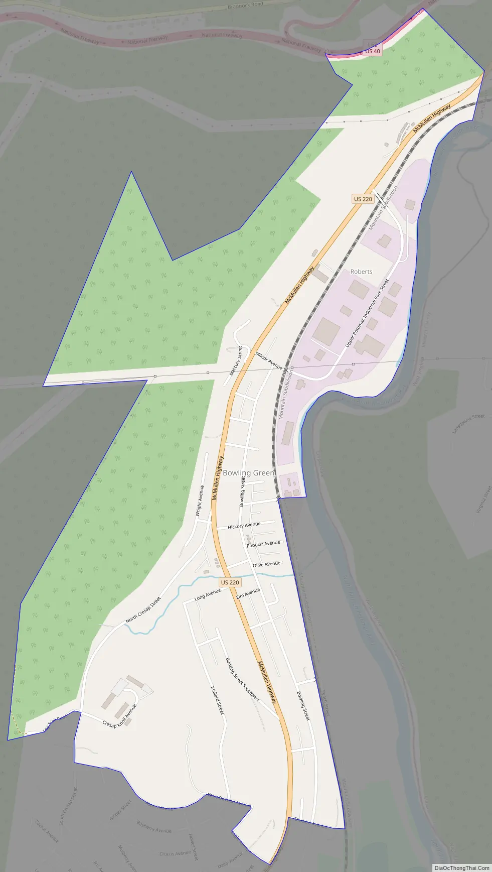
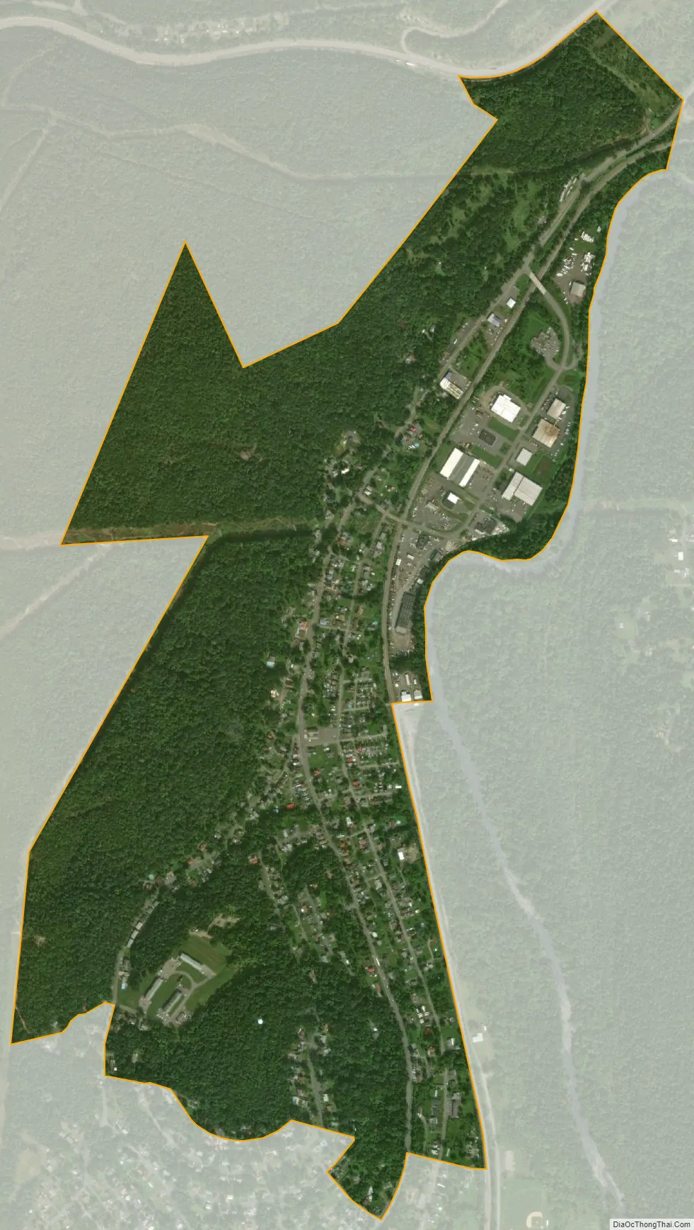
Bowling Green is an unincorporated community and census-designated place (CDP) in Allegany County, Maryland, United States. As of the 2010 census it had a population of 1,077.
It is located along U.S. Route 220 (McMullen Highway), directly southwest of the city of Cumberland and includes the former community of Roberts. The CDP of Potomac Park borders Bowling Green to the south, the Potomac River is to the east and Haystack Mountain is to the west. For many years, the community was mostly farmland but was later divided into building lots by the Buchanan, Roberts and Long families. CSX Transportation railroad tracks skirt the community along the river; in earlier years, a predecessor maintained the Roberts train station, which has since been closed.
The Upper Potomac Industrial Park is located in the northern part of the community, close to Cumberland.
| Name: | Bowling Green CDP |
|---|---|
| LSAD Code: | 57 |
| LSAD Description: | CDP (suffix) |
| State: | Maryland |
| County: | Allegany County |
| Elevation: | 690 ft (210 m) |
| Total Area: | 0.96 sq mi (2.50 km²) |
| Land Area: | 0.96 sq mi (2.50 km²) |
| Water Area: | 0.00 sq mi (0.00 km²) |
| Total Population: | 1,018 |
| Population Density: | 1,056.02/sq mi (407.87/km²) |
| ZIP code: | 21502 |
| Area code: | 240 and 301 |
| FIPS code: | 2408850 |
| GNISfeature ID: | 2583587 |
Online Interactive Map
Click on ![]() to view map in "full screen" mode.
to view map in "full screen" mode.
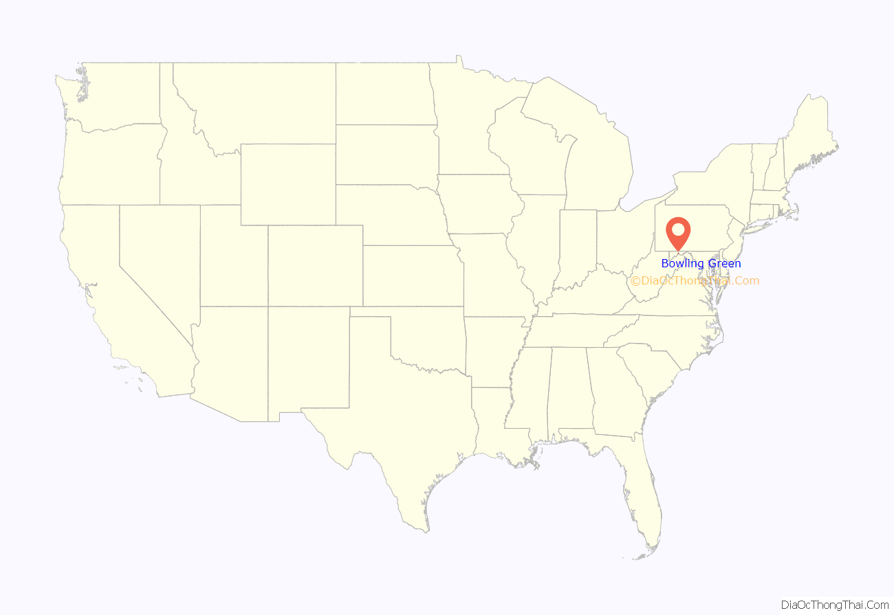
Bowling Green location map. Where is Bowling Green CDP?
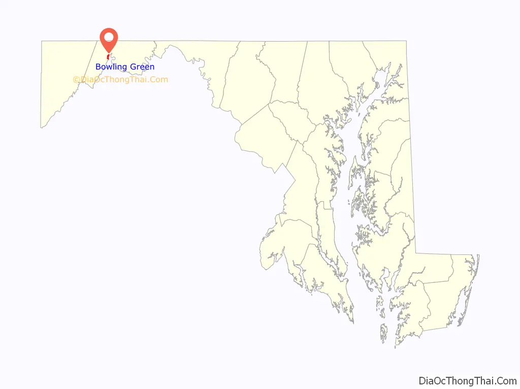
Bowling Green Road Map
Bowling Green city Satellite Map
See also
Map of Maryland State and its subdivision: Map of other states:- Alabama
- Alaska
- Arizona
- Arkansas
- California
- Colorado
- Connecticut
- Delaware
- District of Columbia
- Florida
- Georgia
- Hawaii
- Idaho
- Illinois
- Indiana
- Iowa
- Kansas
- Kentucky
- Louisiana
- Maine
- Maryland
- Massachusetts
- Michigan
- Minnesota
- Mississippi
- Missouri
- Montana
- Nebraska
- Nevada
- New Hampshire
- New Jersey
- New Mexico
- New York
- North Carolina
- North Dakota
- Ohio
- Oklahoma
- Oregon
- Pennsylvania
- Rhode Island
- South Carolina
- South Dakota
- Tennessee
- Texas
- Utah
- Vermont
- Virginia
- Washington
- West Virginia
- Wisconsin
- Wyoming


