Catonsville (/ˈkeɪtənzˌvɪl/) is a census-designated place (CDP) in Baltimore County, Maryland. The population was 41,567 at the 2010 census. The community lies to the west of Baltimore along the city’s border. Catonsville contains the majority of the University of Maryland, Baltimore County (UMBC), a major public research university with close to 14,000 students.
| Name: | Catonsville CDP |
|---|---|
| LSAD Code: | 57 |
| LSAD Description: | CDP (suffix) |
| State: | Maryland |
| County: | Baltimore County |
| Elevation: | 479 ft (146 m) |
| Total Area: | 14.04 sq mi (36.37 km²) |
| Land Area: | 13.96 sq mi (36.16 km²) |
| Water Area: | 0.08 sq mi (0.21 km²) |
| Total Population: | 44,701 |
| Population Density: | 3,201.85/sq mi (1,236.22/km²) |
| ZIP code: | 21228, 21229, 21250 |
| Area code: | 410, 443, and 667 |
| FIPS code: | 2414125 |
| GNISfeature ID: | 0583624 |
Online Interactive Map
Click on ![]() to view map in "full screen" mode.
to view map in "full screen" mode.
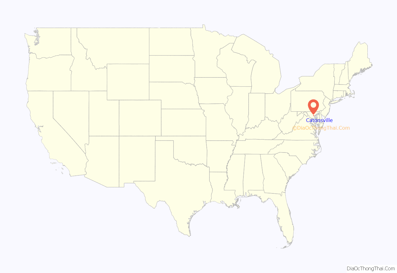
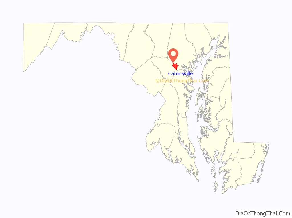
Catonsville location map. Where is Catonsville CDP?
History
Before European colonists settled in present-day Catonsville, the area was occupied by the Piscataway tribe or the Susquehannocks.
Rolling Road was used to transport tobacco south from plantations to the Patapsco River on horse-drawn wagons.
In 1787, the Ellicott family built the Frederick Turnpike to transport goods from their flour mill, Ellicott Mills, to the Baltimore harbor. Charles Carroll, the last surviving signer of the Declaration of Independence at the time, owned the land around the then newly built road. He instructed his son-in-law, Richard Caton, to develop the area along the road. Caton and his wife, Mary Carroll Caton, lived in Castle Thunder, constructed on the Frederick Turnpike in 1787.
Caton gave his name to the community and called it “Catonville,” although the name was changed to “Catonsville” in the 1830s. Businesses were built along the Frederick Turnpike for travelers traveling from Ellicott City to Baltimore. Catonsville served as a layover stop for travelers and the town increasingly grew and developed. The pleasant surroundings attracted wealthy Baltimore merchants who built large Victorian and colonial summer homes there to escape Baltimore’s summer heat. Starting in 1862, horsecar services connected Catonsville to Baltimore. In 1884, the Catonsville Short Line railroad was built, providing 8 roundtrip trains to Baltimore daily. This allowed residents to commute to work in Baltimore. Commuter traffic exploded in the 1890s with the construction of electric streetcar lines and fancy housing developments. Catonsville had become one of the first commuter suburbs in the United States. Baltimore has tried to annex Catonsville, although their attempts have all been failures. The last attempt was in 1918.
Homes of all sizes were constructed rapidly through the 1970s, when much of land around the Frederick Turnpike had been converted into housing. A new and modern business district opened along the newly built Baltimore National Pike, north from the Frederick Turnpike.
Catonsville was briefly made famous during the 1968 protest by the “Catonsville Nine”, during which draft records were burned by Catholic anti-war activists.
In 2002, the Maryland legislature issued a proclamation declaring Catonsville to be “Music City, Maryland”, because of the concentration of musical retail stores, venues and educational facilities in the area. Life Sounds Great is a series of compilation albums highlighting Catonsville musicians.
In 2007, Money magazine ranked Catonsville the 49th best place to live in the United States and the third best in Maryland and Virginia.
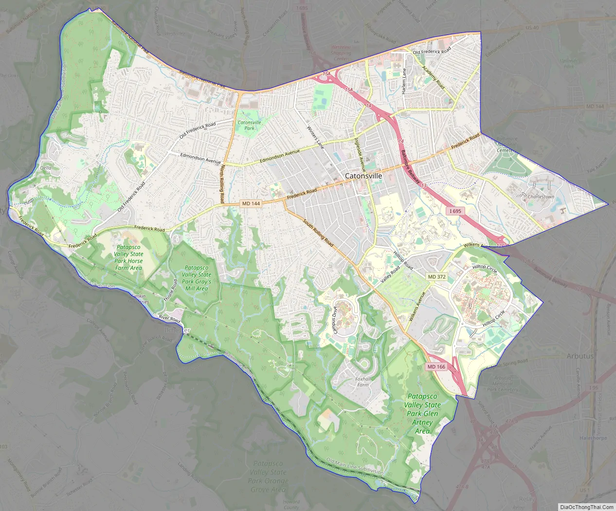
Catonsville Road Map
Catonsville city Satellite Map
Geography
Catonsville is located at 39°16′26″N 76°44′17″W / 39.27389°N 76.73806°W / 39.27389; -76.73806 (39.273756, −76.738012). According to the United States Census Bureau, the CDP has a total area of 14.0 square miles (36 km), all land.
Catonsville is centered along Frederick Road (Maryland Route 144), once the main road from Baltimore leading to points west replacing what is now called Old Frederick Road. Johnnycake Road and Academy Road form the northern and northeastern boundaries of Catonsville, the Patapsco River provides the western and southern boundaries, Gun Road, Shelbourne Road Linden Avenue, Circle Drive and Wilkens Avenue form the southeastern boundaries while Baltimore City forms the eastern boundary. Catonsville is bordered by Woodlawn to the north, Baltimore to the east, by Arbutus to the southeast, by Ilchester to the southwest, and by Ellicott City to the west.
In addition to Frederick Road (Exit 13), Interstate 695 (the Baltimore Beltway) services Wilkens Avenue (Maryland Route 372), Edmondson Avenue and the Baltimore National Pike (U.S. Route 40) via Exits 12, 14 and 15, respectively, with the latter two thoroughfares later converging in Baltimore City to the east. The main north–south roads in the area are Rolling Road (which is also Maryland Route 166 south of Frederick Road), Ingleside Avenue and Bloomsbury Avenue.
Catonsville is a terminus of the Trolley Line Number 9 Trail and the Short Line Railroad Trail.
See also
Map of Maryland State and its subdivision: Map of other states:- Alabama
- Alaska
- Arizona
- Arkansas
- California
- Colorado
- Connecticut
- Delaware
- District of Columbia
- Florida
- Georgia
- Hawaii
- Idaho
- Illinois
- Indiana
- Iowa
- Kansas
- Kentucky
- Louisiana
- Maine
- Maryland
- Massachusetts
- Michigan
- Minnesota
- Mississippi
- Missouri
- Montana
- Nebraska
- Nevada
- New Hampshire
- New Jersey
- New Mexico
- New York
- North Carolina
- North Dakota
- Ohio
- Oklahoma
- Oregon
- Pennsylvania
- Rhode Island
- South Carolina
- South Dakota
- Tennessee
- Texas
- Utah
- Vermont
- Virginia
- Washington
- West Virginia
- Wisconsin
- Wyoming


