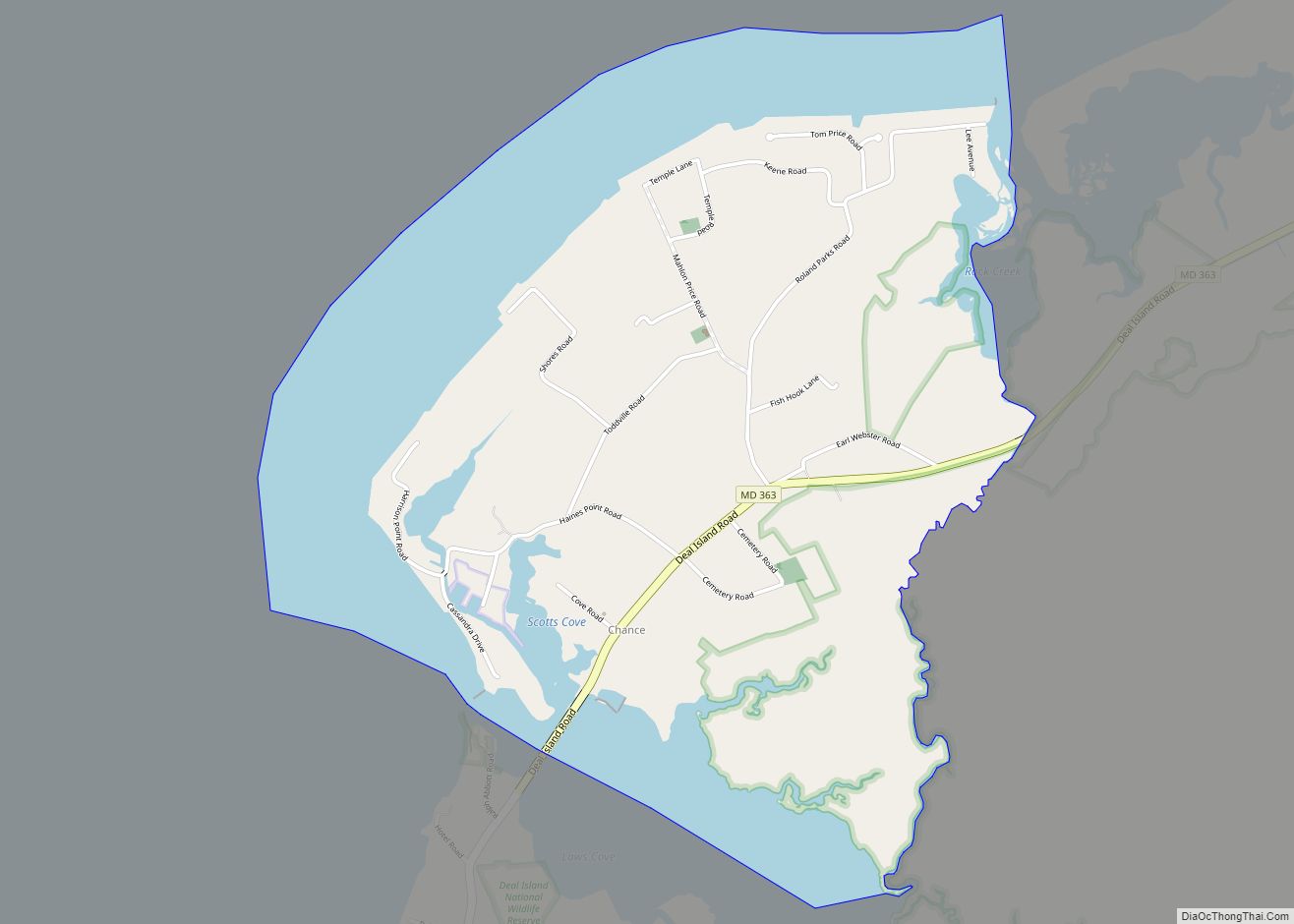
Chance is a census-designated place (CDP) in Somerset County, Maryland, United States. The population was 377 at the 2000 census. It is included in the Salisbury, Maryland-Delaware Metropolitan Statistical Area.
| Name: | Chance CDP |
|---|---|
| LSAD Code: | 57 |
| LSAD Description: | CDP (suffix) |
| State: | Maryland |
| County: | Somerset County |
| Elevation: | 3 ft (1 m) |
| Total Area: | 2.58 sq mi (6.69 km²) |
| Land Area: | 1.67 sq mi (4.32 km²) |
| Water Area: | 0.91 sq mi (2.37 km²) |
| Total Population: | 330 |
| Population Density: | 197.60/sq mi (76.31/km²) |
| ZIP code: | 21821 |
| Area code: | 410 |
| FIPS code: | 2415075 |
| GNISfeature ID: | 0595203 |
Online Interactive Map
Click on ![]() to view map in "full screen" mode.
to view map in "full screen" mode.
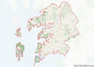
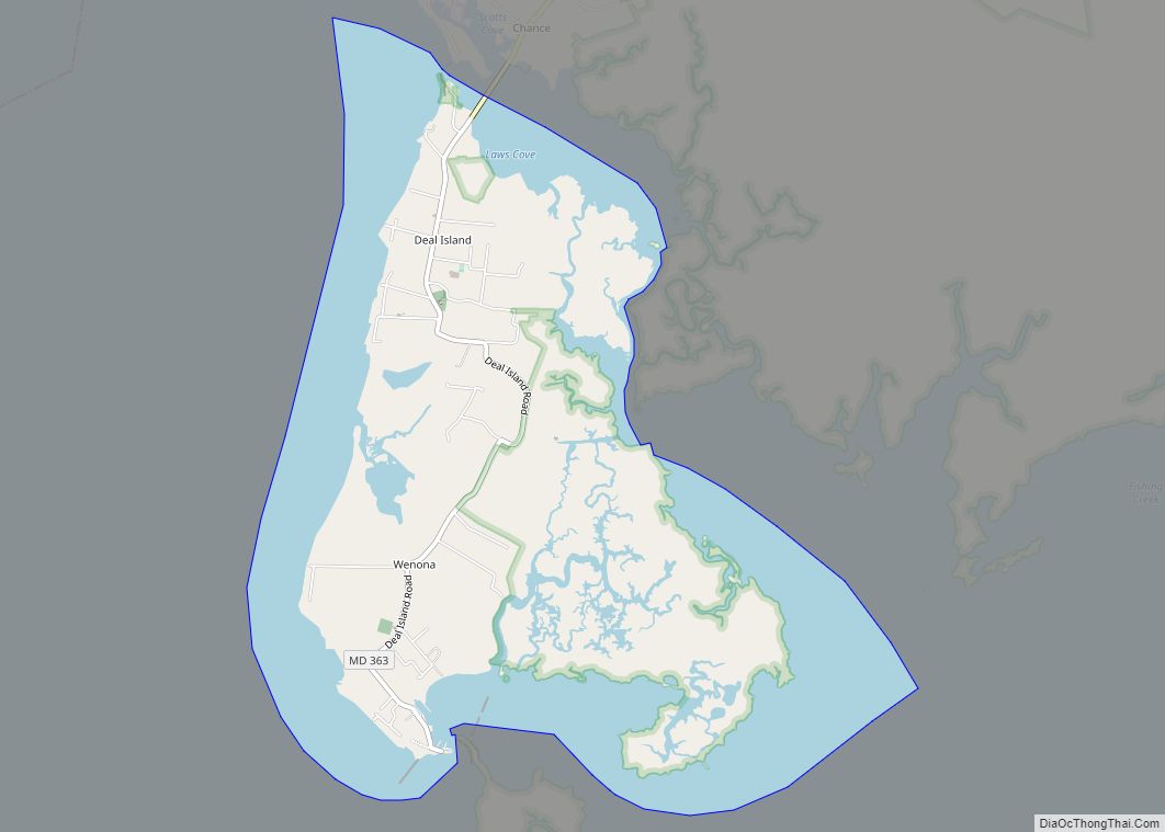
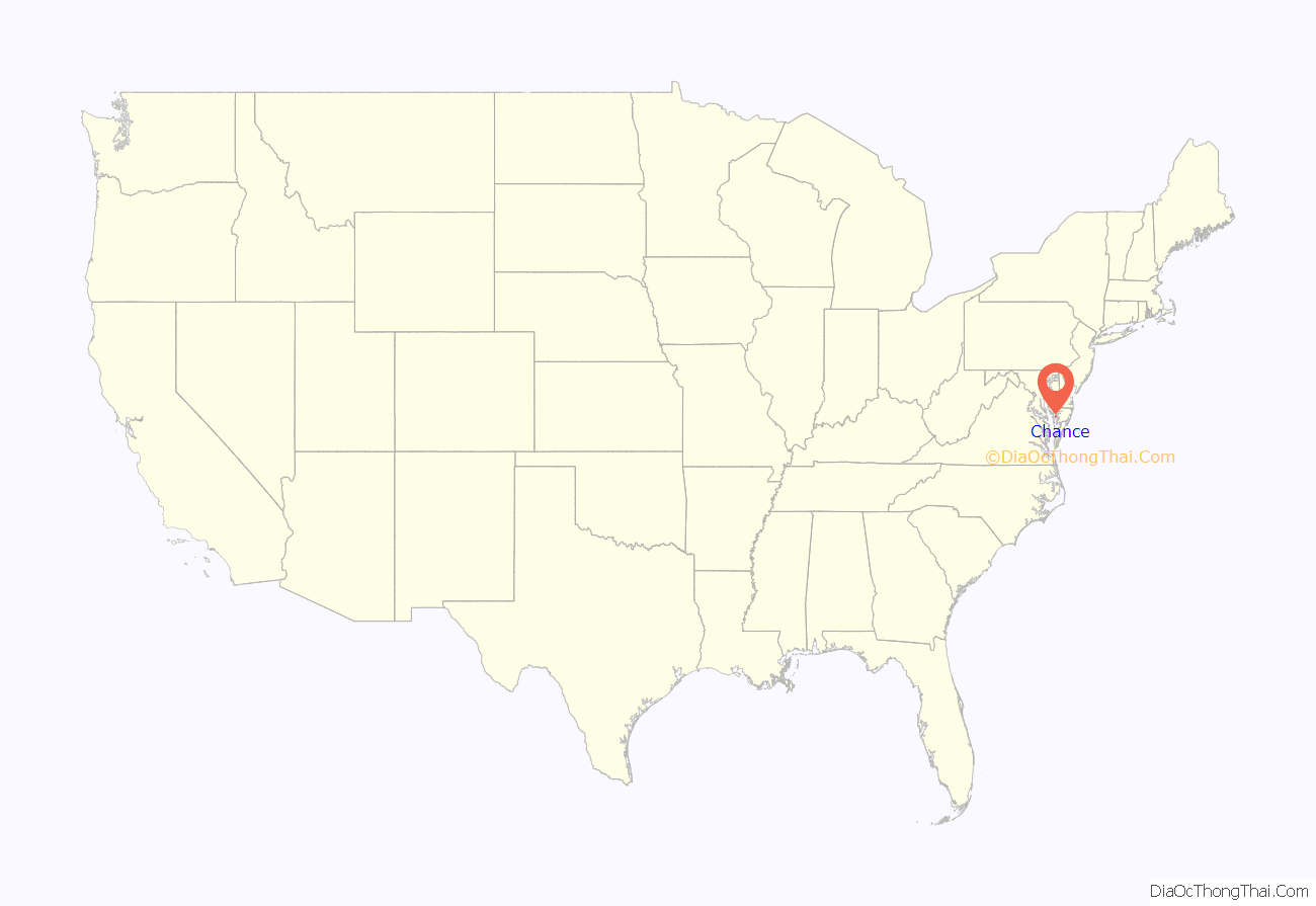
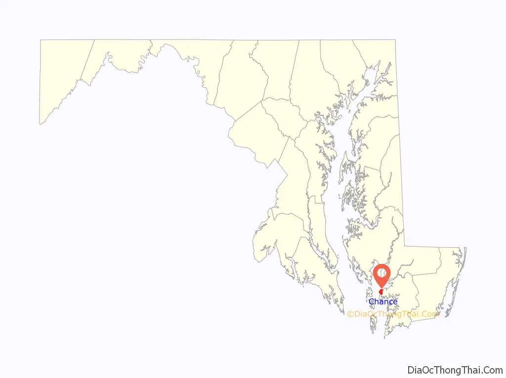
Chance location map. Where is Chance CDP?
History
The community took its name from the estate of the same name of an early settler.
The Ida May and Rock Creek Methodist Episcopal Church are listed on the National Register of Historic Places.
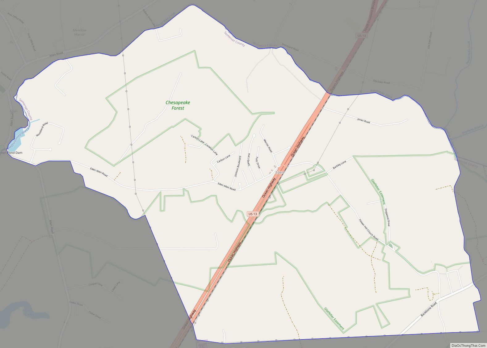
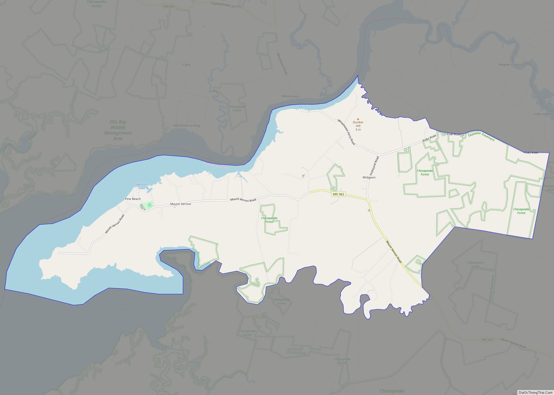
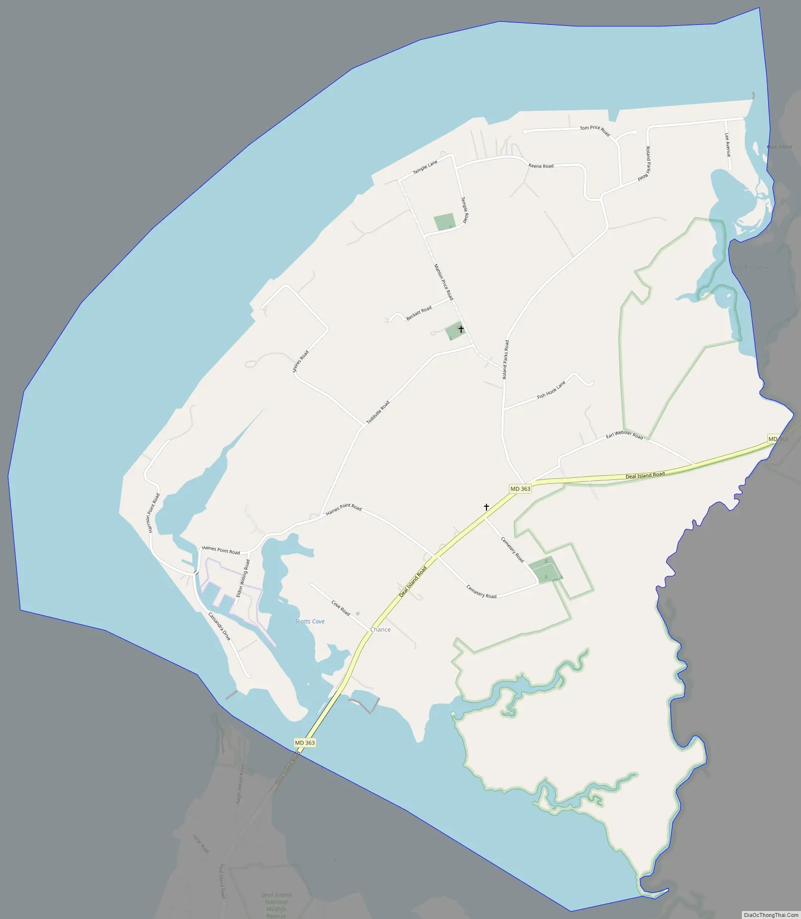
Chance Road Map
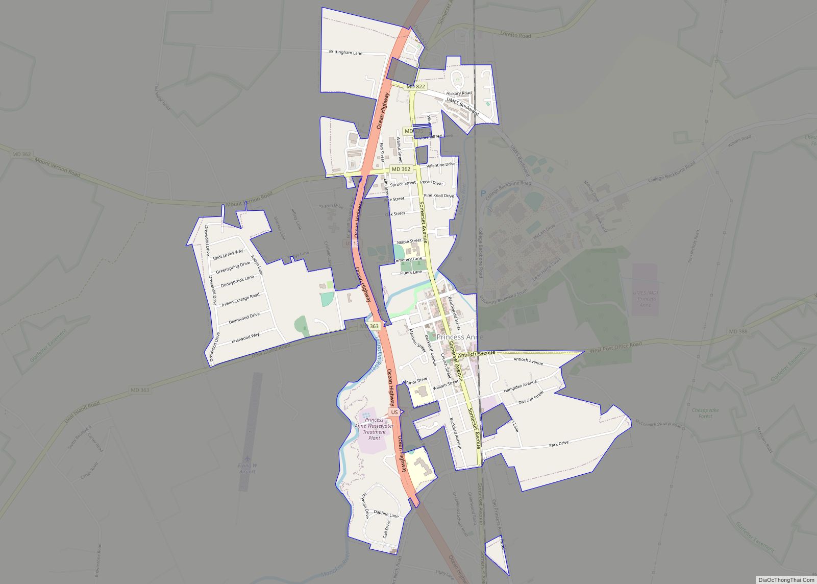
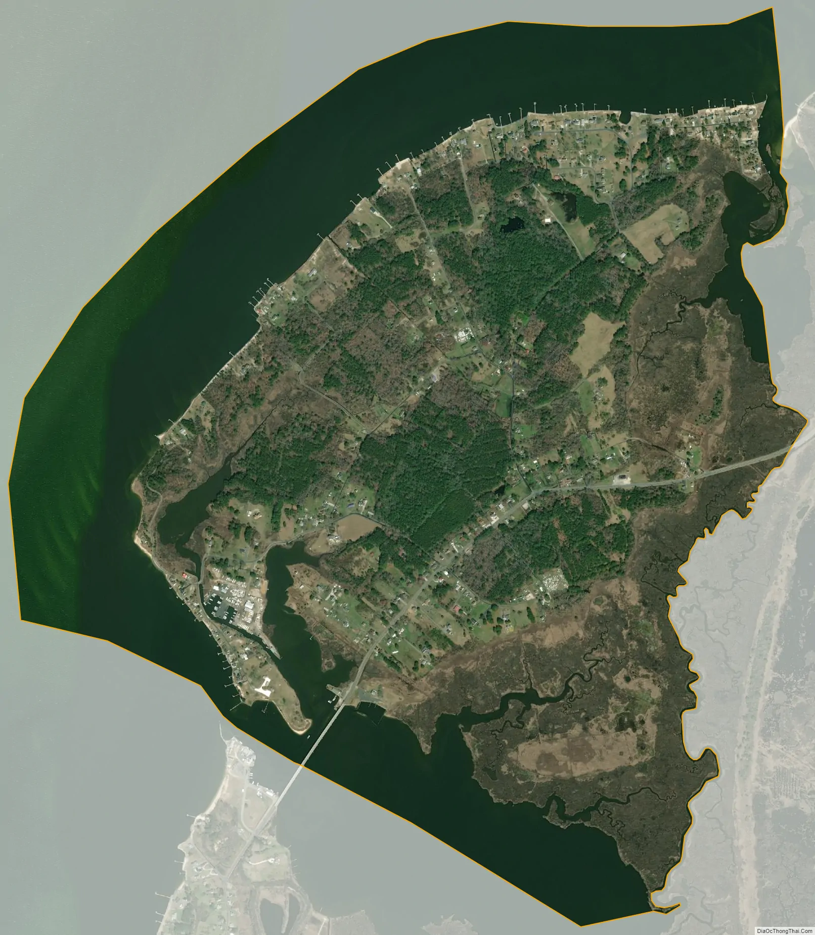
Chance city Satellite Map
Geography
Chance is located at 38°10′37″N 75°56′21″W / 38.17694°N 75.93917°W / 38.17694; -75.93917 (38.176818, −75.939272).
According to the United States Census Bureau, the CDP has a total area of 2.6 square miles (6.7 km), of which 1.7 square miles (4.4 km) is land and 0.8 square miles (2.1 km) (32.68%) is water.
See also
Map of Maryland State and its subdivision: Map of other states:- Alabama
- Alaska
- Arizona
- Arkansas
- California
- Colorado
- Connecticut
- Delaware
- District of Columbia
- Florida
- Georgia
- Hawaii
- Idaho
- Illinois
- Indiana
- Iowa
- Kansas
- Kentucky
- Louisiana
- Maine
- Maryland
- Massachusetts
- Michigan
- Minnesota
- Mississippi
- Missouri
- Montana
- Nebraska
- Nevada
- New Hampshire
- New Jersey
- New Mexico
- New York
- North Carolina
- North Dakota
- Ohio
- Oklahoma
- Oregon
- Pennsylvania
- Rhode Island
- South Carolina
- South Dakota
- Tennessee
- Texas
- Utah
- Vermont
- Virginia
- Washington
- West Virginia
- Wisconsin
- Wyoming