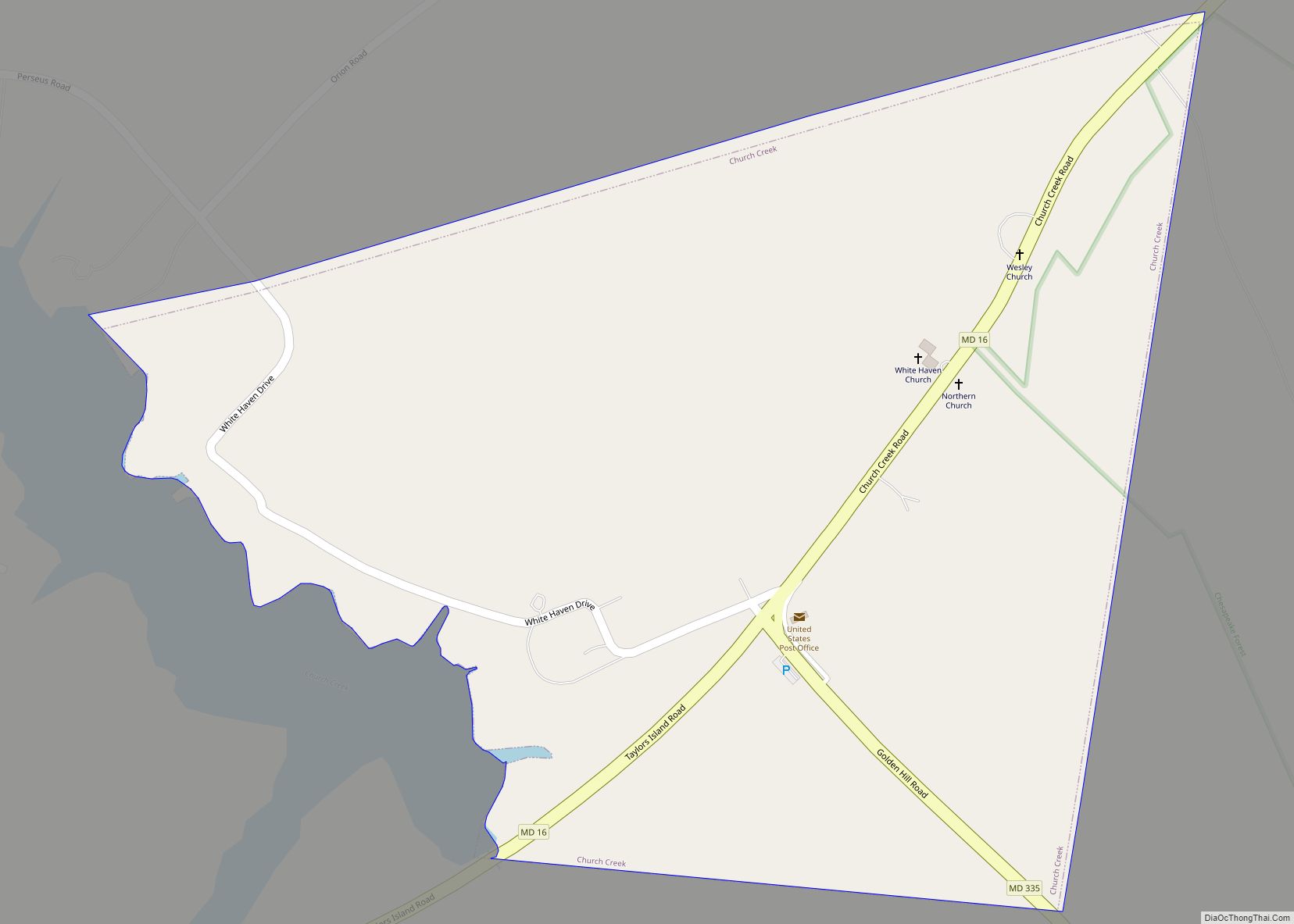
Church Creek is a town in Dorchester County, Maryland, United States, part of the state’s Eastern Shore. The population was 125 at the 2010 census. Church Creek is located approximately six miles south of Cambridge.
Old Trinity Church is located here. An Anglican (now Episcopal) brick church built in 1675, it is the oldest church building in the US in continuous ecclesiastical use.
| Name: | Church Creek town |
|---|---|
| LSAD Code: | 43 |
| LSAD Description: | town (suffix) |
| State: | Maryland |
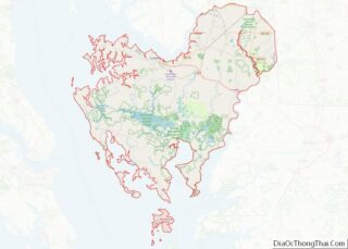
| County: | Dorchester County |
| Incorporated: | 1867 |
| Elevation: | 3 ft (1 m) |
| Total Area: | 0.34 sq mi (0.87 km²) |
| Land Area: | 0.34 sq mi (0.87 km²) |
| Water Area: | 0.00 sq mi (0.00 km²) |
| Total Population: | 102 |
| Population Density: | 302.67/sq mi (116.70/km²) |
| ZIP code: | 21622 |
| Area code: | 410 |
| FIPS code: | 2417050 |
| GNISfeature ID: | 0589976 |
Online Interactive Map
Click on ![]() to view map in "full screen" mode.
to view map in "full screen" mode.
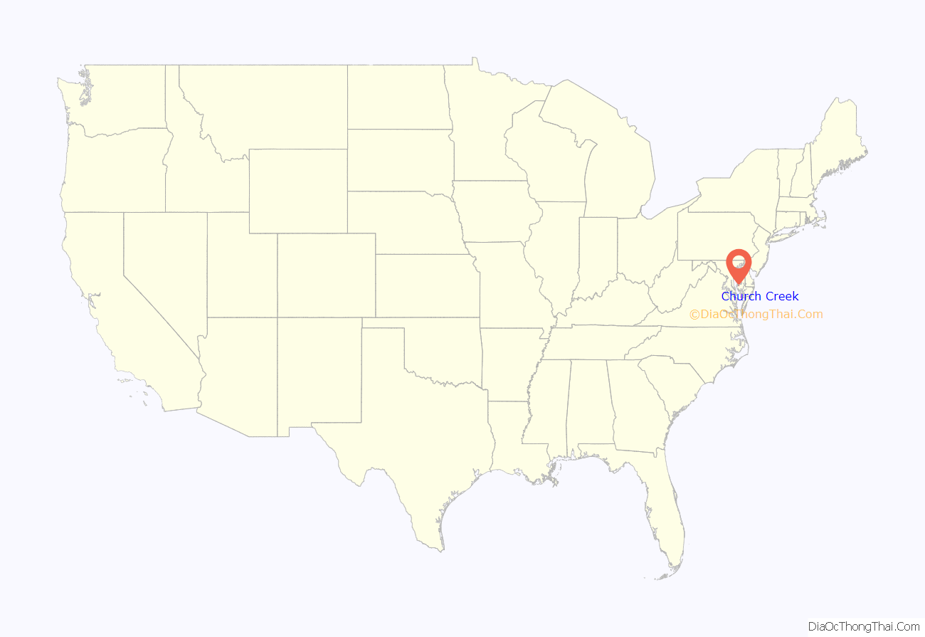
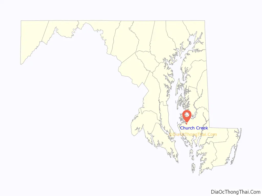
Church Creek location map. Where is Church Creek town?
History
The exact origins of Church Creek remain unclear. Popular tradition maintains that Church Creek predates Cambridge, Maryland as the earliest settlement in Dorchester County, and was first established at some point before 1684 under the name Dorchester Town and then White Haven. This has been disputed by historian Elias Jones, who found no indication of land sales in the area before 1700 in County Land Records.
Both the town and river of Church Creek derive their name from the nearby Episcopal church, now known as Old Trinity Church, built c. 1675. In 1867, Church Creek officially became the forty-second Incorporated town in Maryland, and remains one of the 123 such towns today. In 1975, the town adopted its first municipal tax in order to qualify for state tax grants and federal revenue-sharing.
Economy
The first major industry in Church Creek was shipbuilding, established at some point before 1767, which took advantage of surrounding forests plentiful with white oak and pine. As a result, the population of the town grew during the 18th and 19th centuries. The 1860 census recorded 218 families and 1,103, of which 51 percent were occupied as “laborers” and 26 percent occupied as “farmers”.
Toward the end of the 19th century, regional deforestation resulted in a downturn in the wooden shipbuilding industry. This adversely affected the industrial prosperity of Church Creek, and the population subsequently declined. The economy of Church Creek has historically benefited from human traffic due to the town’s location at the crossroads of Taylor’s Island Road (Route 16) and Church Creek-Golden Hill Road (Route 335). During the first half of the twentieth century, the residents of Church Creek maintained eight or nine general stores. But during the second half of the 20th century, the town’s economy and population continued to decline. According to the United States Census Records, the town contained 187 people in 1950, down to 115 in 1990.
African-American education during Reconstruction
Following the American Civil War, Church Creek was an early site for education of African Americans. The state passed the Public Instruction Act of 1865 to earmark public funds for the education of African-American students. But white-dominated Maryland county and city school boards refused to distribute the allocated money for the building and maintenance of African-American schools in the segregated system.
Instead, private organizations, such as the northern American Missionary Association, spearheaded the raising and allocation of money throughout Maryland. The fifth African-American county school was established in Church Creek on September 27, 1865 under the care of Mary S. Osbourne, with a total enrollment of thirty-two students. The County schools were quickly opposed by local residents, sometimes violently. In October and November 1865, arsonists destroyed African-American schools in Millington, Edesville, and Kent County.
Though the school at Church Creek was not attacked, it did encounter local antagonism. In December 1865, a group of Church Creek residents held an “indignation meeting” to organize and communicate their opposition to the African-American school and its teacher, Mary S. Osbourne. The Church Creek school for African-American students operated successfully throughout the 1865–66 school year. As teacher Mary S. Osbourne reported: “One class of six knew the alphabet but could not read at all; now they read well, as far as First Step No. 12 on the Chart. … A class of seven read well in the First Reader, and are to commence Arithmetic at once. Another … [is] using the Third Reader and studying Geography.” From 1861 to 1876 more than one-third of teachers in southern colored schools were African Americans, so it is likely that Osbourne was replaced by a southern African American teacher even during Reconstruction. In addition, one of every six teachers from the North were African American.
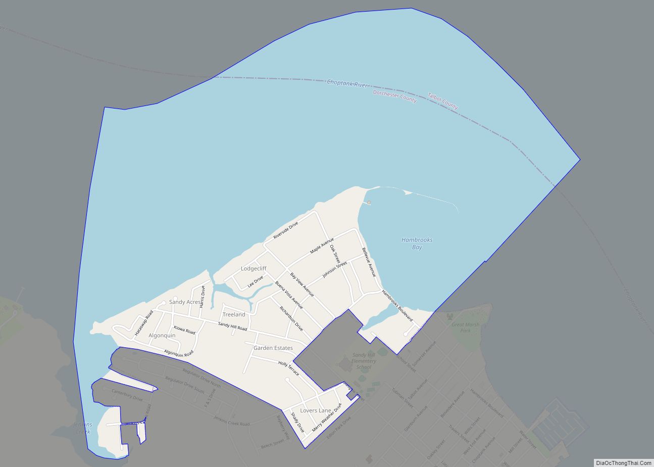
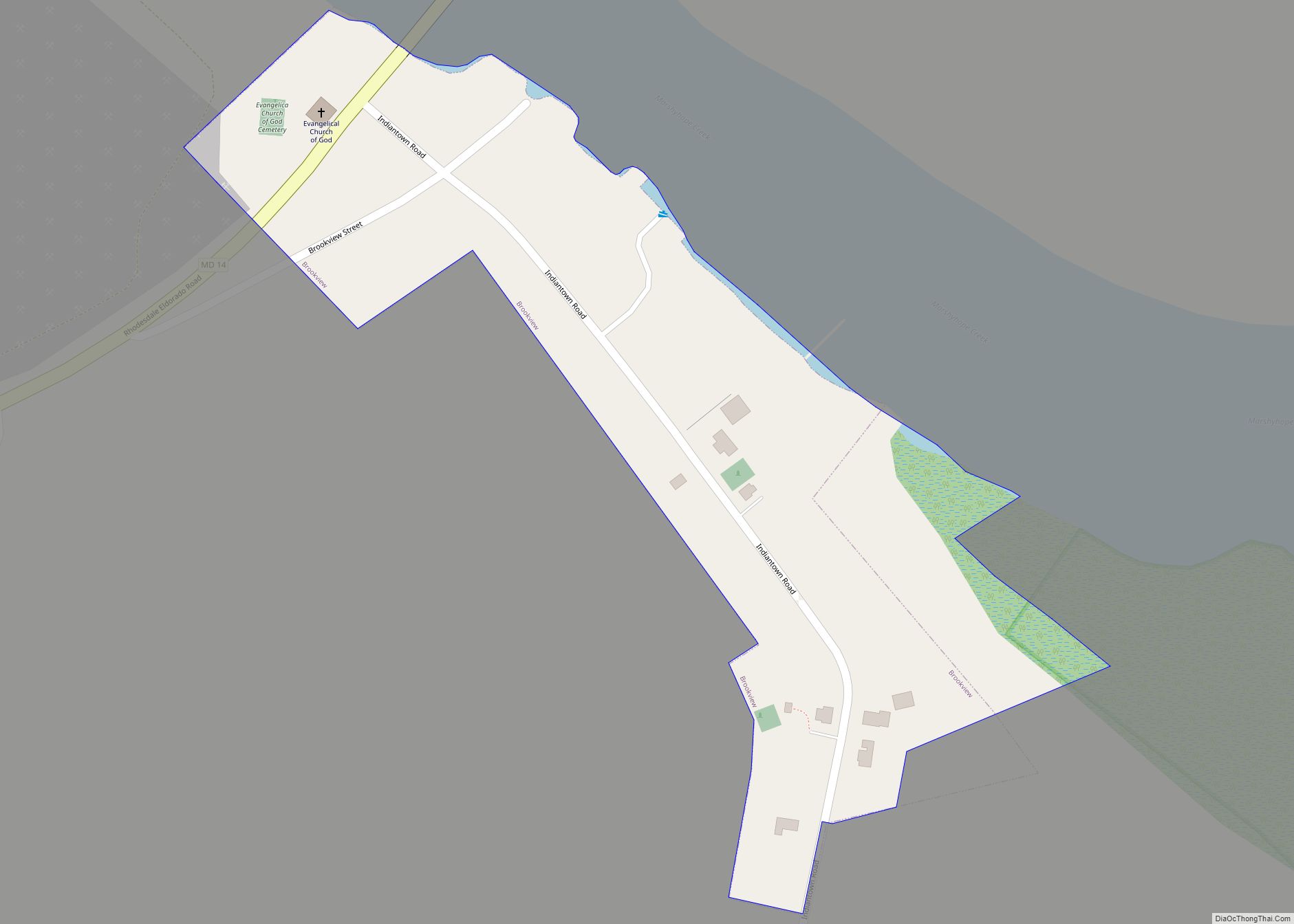
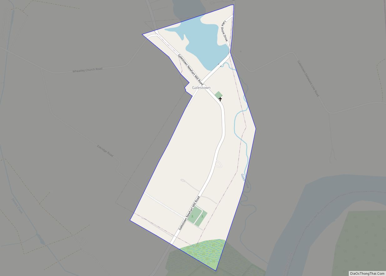
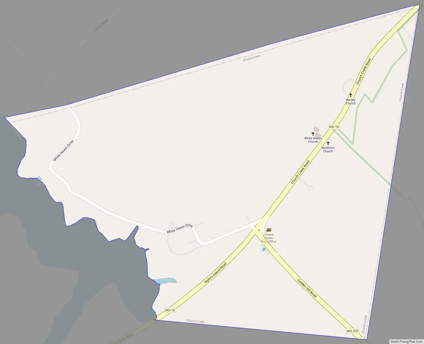
Church Creek Road Map
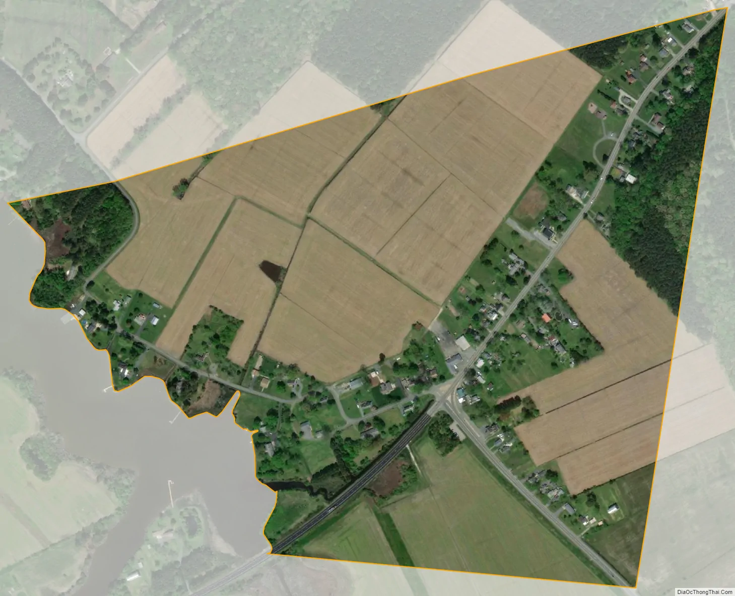
Church Creek city Satellite Map
Geography
Church Creek is located at 38°30′19″N 76°9′16″W / 38.50528°N 76.15444°W / 38.50528; -76.15444 (38.505300, −76.154367). The town is located at the head of the Church Creek river, a tributary of the Little Choptank River.
According to the United States Census Bureau, the town has a total area of 0.34 square miles (0.88 km), all land.
Climate
The climate in this area is characterized by hot, humid summers and generally mild to cool winters. According to the Köppen Climate Classification system, Church Creek has a humid subtropical climate, abbreviated “Cfa” on climate maps.
See also
Map of Maryland State and its subdivision: Map of other states:- Alabama
- Alaska
- Arizona
- Arkansas
- California
- Colorado
- Connecticut
- Delaware
- District of Columbia
- Florida
- Georgia
- Hawaii
- Idaho
- Illinois
- Indiana
- Iowa
- Kansas
- Kentucky
- Louisiana
- Maine
- Maryland
- Massachusetts
- Michigan
- Minnesota
- Mississippi
- Missouri
- Montana
- Nebraska
- Nevada
- New Hampshire
- New Jersey
- New Mexico
- New York
- North Carolina
- North Dakota
- Ohio
- Oklahoma
- Oregon
- Pennsylvania
- Rhode Island
- South Carolina
- South Dakota
- Tennessee
- Texas
- Utah
- Vermont
- Virginia
- Washington
- West Virginia
- Wisconsin
- Wyoming