Cockeysville is a census-designated place (CDP) in Baltimore County, Maryland, United States. The population was 20,776 at the 2010 census.
| Name: | Cockeysville CDP |
|---|---|
| LSAD Code: | 57 |
| LSAD Description: | CDP (suffix) |
| State: | Maryland |
| County: | Baltimore County |
| Elevation: | 308 ft (94 m) |
| Total Area: | 12.38 sq mi (32.06 km²) |
| Land Area: | 11.97 sq mi (31.01 km²) |
| Water Area: | 0.40 sq mi (1.04 km²) |
| Total Population: | 24,184 |
| Population Density: | 2,019.71/sq mi (779.80/km²) |
| ZIP code: | 21030, 21031, 21065 |
| Area code: | 410, 443, and 667 |
| FIPS code: | 2418250 |
| GNISfeature ID: | 0589994 |
Online Interactive Map
Click on ![]() to view map in "full screen" mode.
to view map in "full screen" mode.
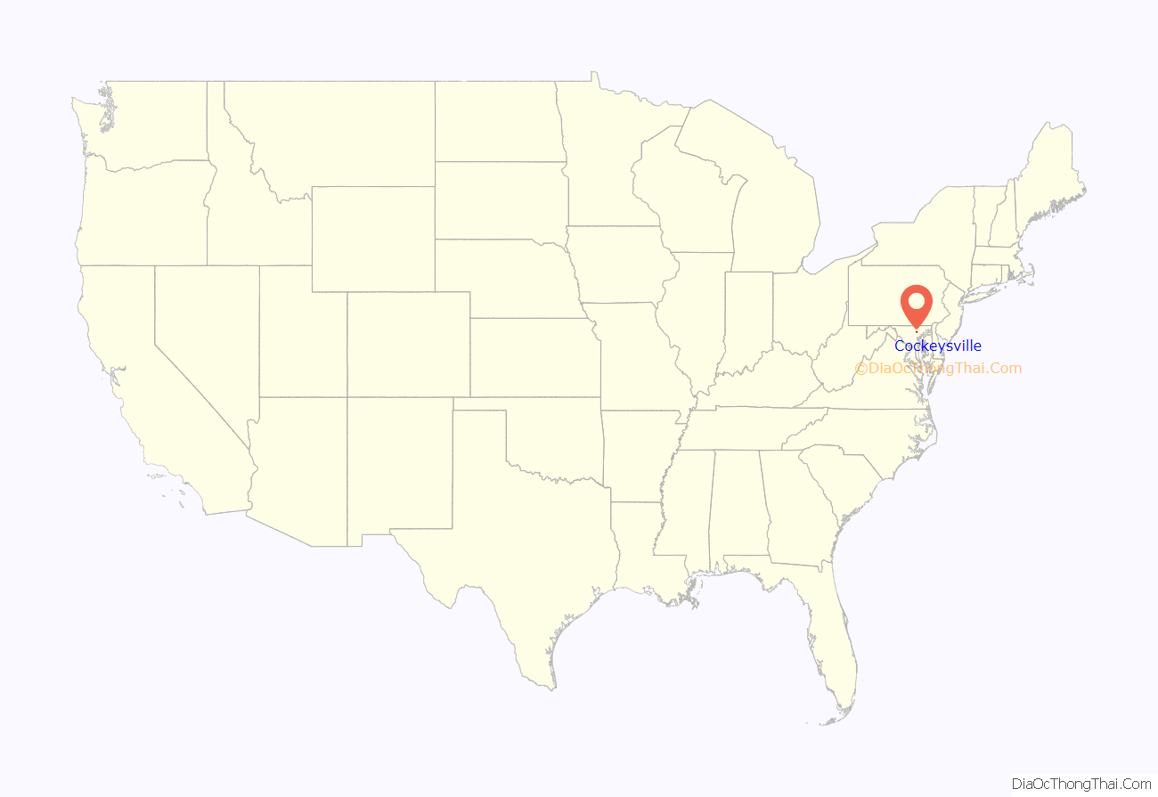
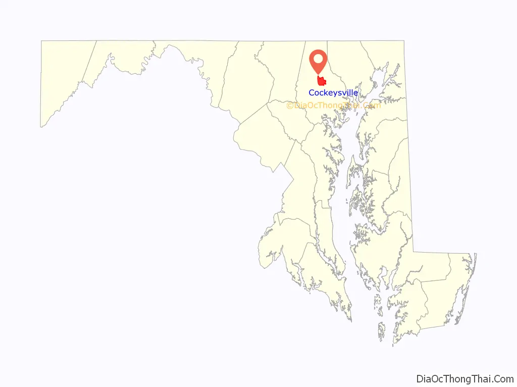
Cockeysville location map. Where is Cockeysville CDP?
History
Cockeysville was named after the Cockey family who helped establish the town. Thomas Cockey (1676–1737) settled in Limestone Valley in 1725 at Taylor’s Hall (an area now just north of Padonia Road and east of Interstate 83). Joshua Frederick Cockey (1765–1821) built one of the first homes in the area in 1798 and built the first commercial structure, a hotel, in 1810 in what would become the village of Cockeysville. His son, Judge Joshua F. Cockey (1800–1891), was a lifelong resident in the village. As a businessman before being appointed as judge, in the 1830s he built the train station (which would be a stop on the Pennsylvania Railroad) and accompanying commercial buildings.
Cockeysville was the scene of some Civil War activity. Confederate soldiers pushed into the Baltimore area, intending to cut off the city and Washington from the north. On July 10, 1864, Confederate cavalry under General Bradley T. Johnson entered Cockeysville, destroying telegraph lines and track along the Northern Central Railway. They also burned the first bridge over the Gunpowder Falls, just beyond nearby Ashland.
After the war, Joshua F. Cockey III (1837–1920) founded the National Bank of Cockeysville (1891) and other commercial ventures in the community, as well as developing dwellings along the York Turnpike (now York Road) that made up the village of Cockeysville.
Stone Hall was listed on the National Register of Historic Places in 1973. Baltimore County School No. 7 was listed in 2000.
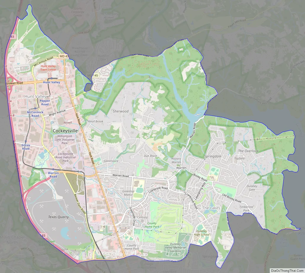
Cockeysville Road Map
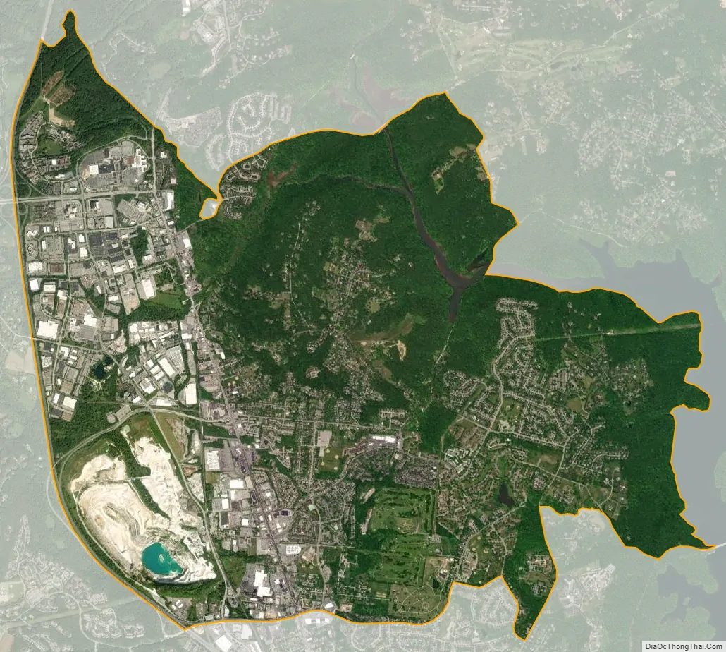
Cockeysville city Satellite Map
Geography
Cockeysville is located at 39°28′24″N 76°37′36″W / 39.47333°N 76.62667°W / 39.47333; -76.62667 (39.473273, −76.626703), north of the Baltimore Beltway (Interstate 695) along Interstate 83 and York Road. It is bordered on the east by Loch Raven Reservoir, on the south by Timonium, and on the west by rural Baltimore County. Most commercial activity is concentrated along York Road.
According to the United States Census Bureau, the CDP has a total area of 11.5 square miles (29.9 km), of which 11.4 square miles (29.5 km) is land and 0.15 square miles (0.4 km) of it (1.21%) is water.
See also
Map of Maryland State and its subdivision: Map of other states:- Alabama
- Alaska
- Arizona
- Arkansas
- California
- Colorado
- Connecticut
- Delaware
- District of Columbia
- Florida
- Georgia
- Hawaii
- Idaho
- Illinois
- Indiana
- Iowa
- Kansas
- Kentucky
- Louisiana
- Maine
- Maryland
- Massachusetts
- Michigan
- Minnesota
- Mississippi
- Missouri
- Montana
- Nebraska
- Nevada
- New Hampshire
- New Jersey
- New Mexico
- New York
- North Carolina
- North Dakota
- Ohio
- Oklahoma
- Oregon
- Pennsylvania
- Rhode Island
- South Carolina
- South Dakota
- Tennessee
- Texas
- Utah
- Vermont
- Virginia
- Washington
- West Virginia
- Wisconsin
- Wyoming


