Corriganville is an unincorporated community and census-designated place (CDP) in Allegany County, Maryland, United States. As of the 2010 census it had a population of 455. Corriganville is part of the Cumberland, MD-WV Metropolitan Statistical Area.
| Name: | Corriganville CDP |
|---|---|
| LSAD Code: | 57 |
| LSAD Description: | CDP (suffix) |
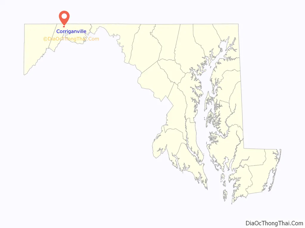
| State: | Maryland |
| County: | Allegany County |
| Elevation: | 740 ft (230 m) |
| Total Area: | 0.36 sq mi (0.94 km²) |
| Land Area: | 0.36 sq mi (0.94 km²) |
| Water Area: | 0.00 sq mi (0.00 km²) |
| Total Population: | 421 |
| Population Density: | 1,166.20/sq mi (449.79/km²) |
| ZIP code: | 21524 |
| FIPS code: | 2419975 |
| GNISfeature ID: | 2583601 |
Online Interactive Map
Click on ![]() to view map in "full screen" mode.
to view map in "full screen" mode.
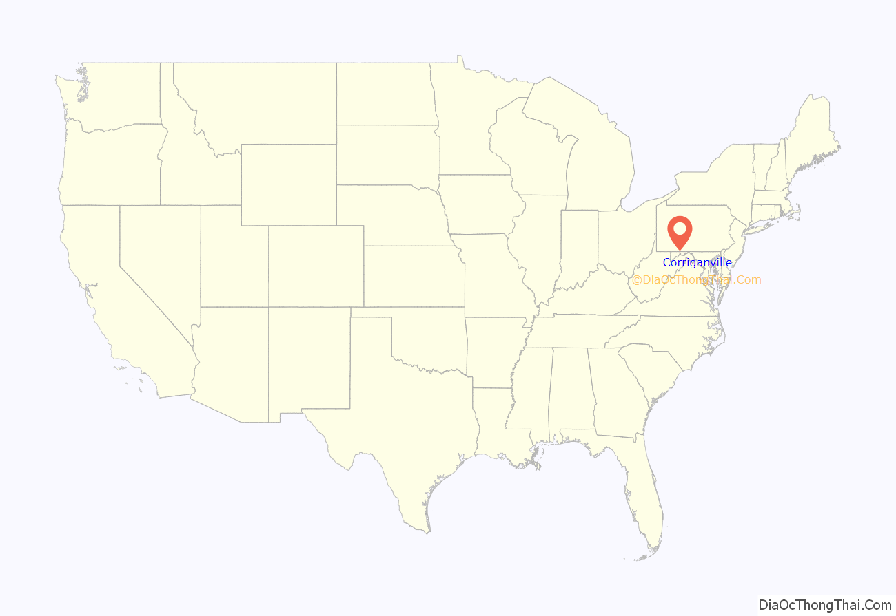
Corriganville location map. Where is Corriganville CDP?
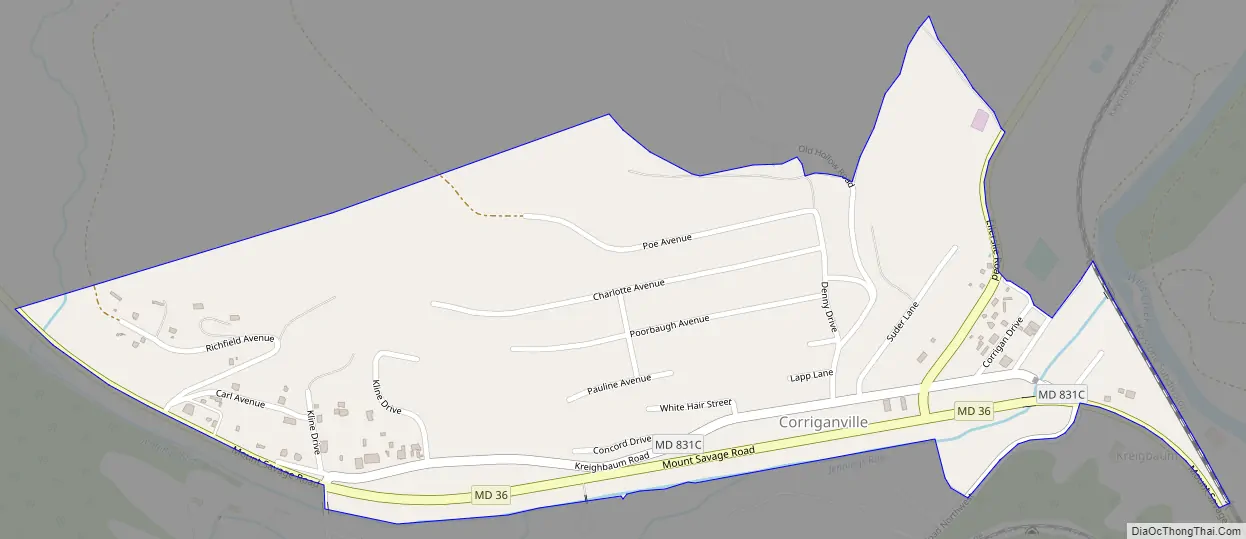
Corriganville Road Map
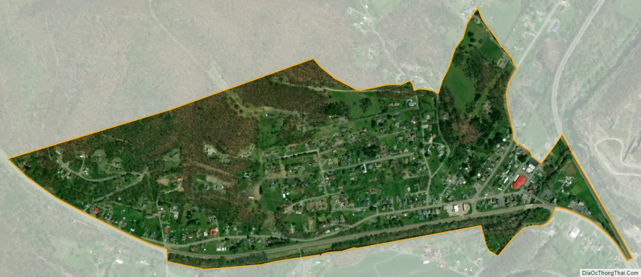
Corriganville city Satellite Map
Geography
Corriganville lies north of Cumberland at the confluence of Wills Creek and Jennings Run. Maryland Route 36 passes through Corriganville, and Maryland Route 35 heads north from there to Ellerslie.
See also
Map of Maryland State and its subdivision: Map of other states:- Alabama
- Alaska
- Arizona
- Arkansas
- California
- Colorado
- Connecticut
- Delaware
- District of Columbia
- Florida
- Georgia
- Hawaii
- Idaho
- Illinois
- Indiana
- Iowa
- Kansas
- Kentucky
- Louisiana
- Maine
- Maryland
- Massachusetts
- Michigan
- Minnesota
- Mississippi
- Missouri
- Montana
- Nebraska
- Nevada
- New Hampshire
- New Jersey
- New Mexico
- New York
- North Carolina
- North Dakota
- Ohio
- Oklahoma
- Oregon
- Pennsylvania
- Rhode Island
- South Carolina
- South Dakota
- Tennessee
- Texas
- Utah
- Vermont
- Virginia
- Washington
- West Virginia
- Wisconsin
- Wyoming


