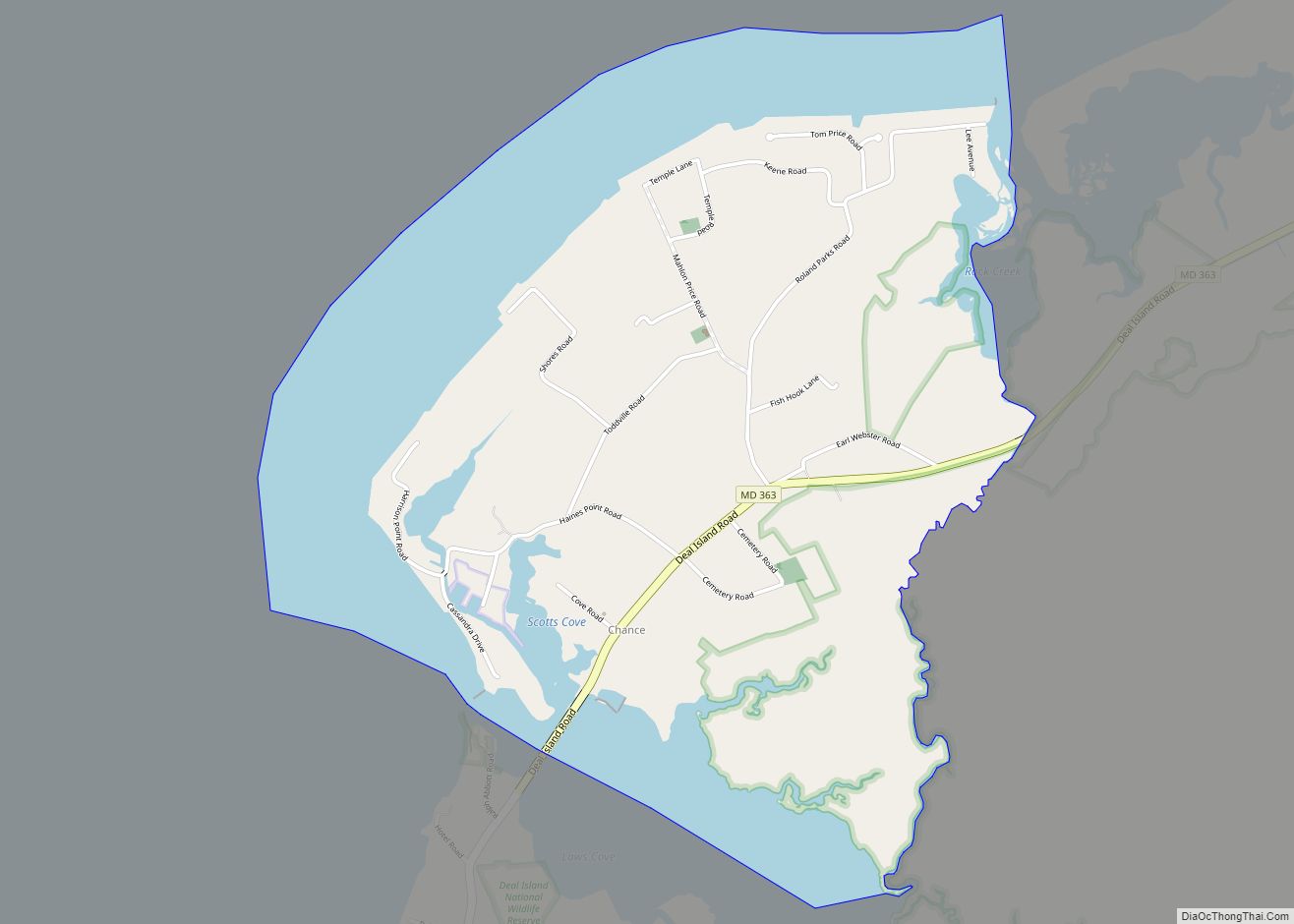
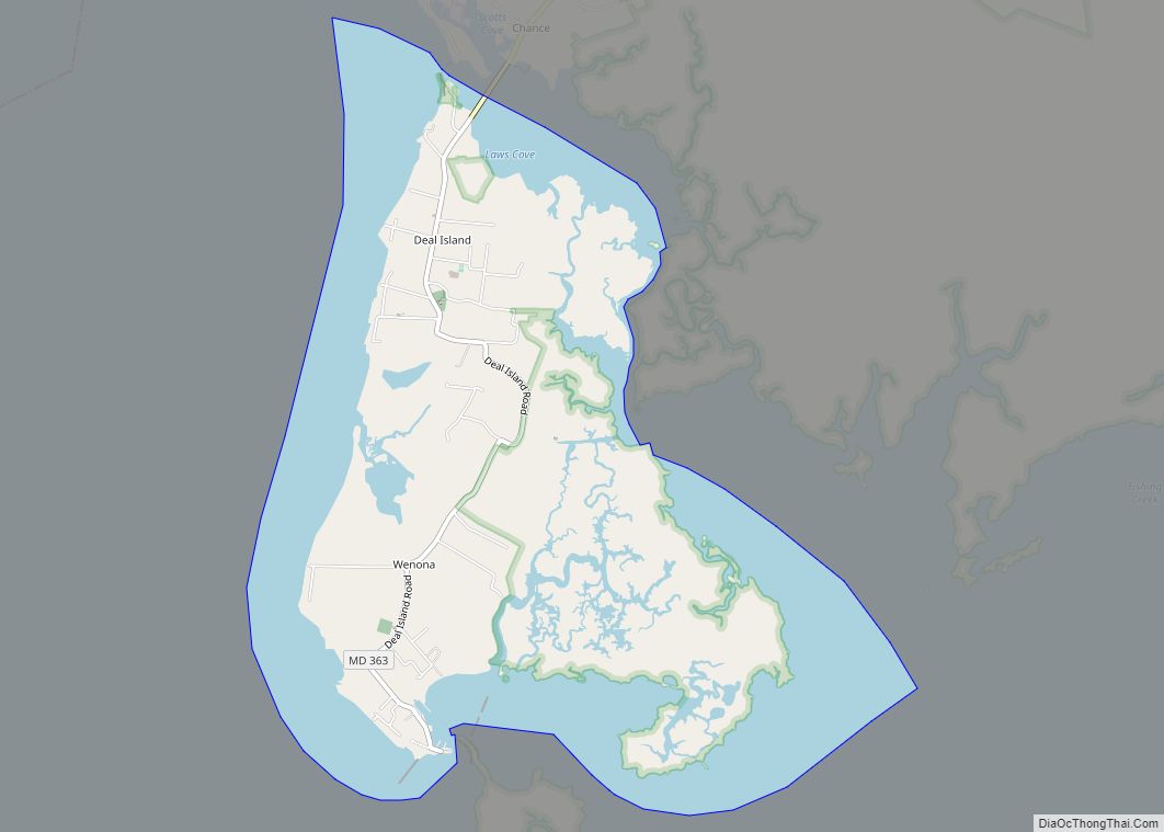
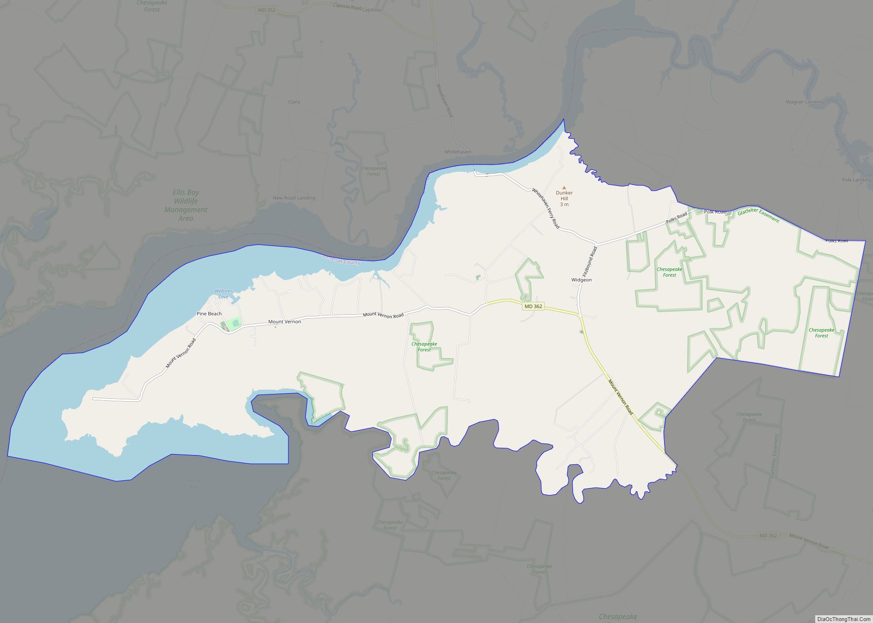
Deal Island is a census-designated place (CDP) in Somerset County, Maryland, United States. The population was 375 at the 2020 census. It is included in the Salisbury, Maryland-Delaware Metropolitan Statistical Area. The small town was listed on the National Register of Historic Places as the Deal Island Historic District in 2006.
| Name: | Deal Island CDP |
|---|---|
| LSAD Code: | 57 |
| LSAD Description: | CDP (suffix) |
| State: | Maryland |
| County: | Somerset County |
| Elevation: | 3 ft (0.9 m) |
| Total Area: | 5.37 sq mi (13.91 km²) |
| Land Area: | 3.03 sq mi (7.85 km²) |
| Water Area: | 2.34 sq mi (6.05 km²) |
| Total Population: | 375 |
| Population Density: | 123.72/sq mi (47.77/km²) |
| ZIP code: | 21821, 21870 |
| Area code: | 410 |
| FIPS code: | 2422100 |
| GNISfeature ID: | 0590074 |
Online Interactive Map
Click on ![]() to view map in "full screen" mode.
to view map in "full screen" mode.
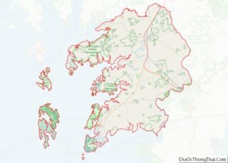
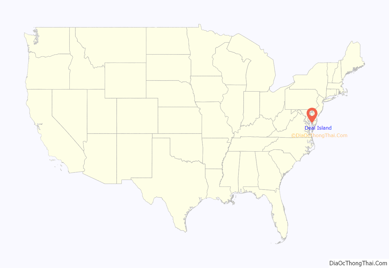
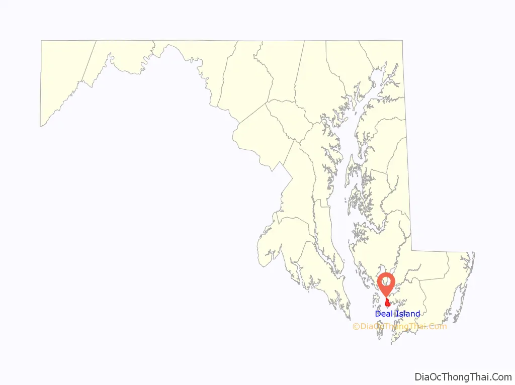
Deal Island location map. Where is Deal Island CDP?
History
Deal Island was historically known as Deal’s, Deil’s, and Devil’s Island. Nearby Dames Quarters also had an unappealing name: Quarters of the Damned. At least one source also attributes these nicknames to the area’s use by pirates.
Also the island is famous for Joshua Thomas, who predicted the British defeat in the War of 1812. Thomas is buried alongside the Joshua Thomas Chapel.
The Deal Island Historic District, Sea Gull (skipjack), and St. John’s Methodist Episcopal Church and Joshua Thomas Chapel are listed on the National Register of Historic Places.
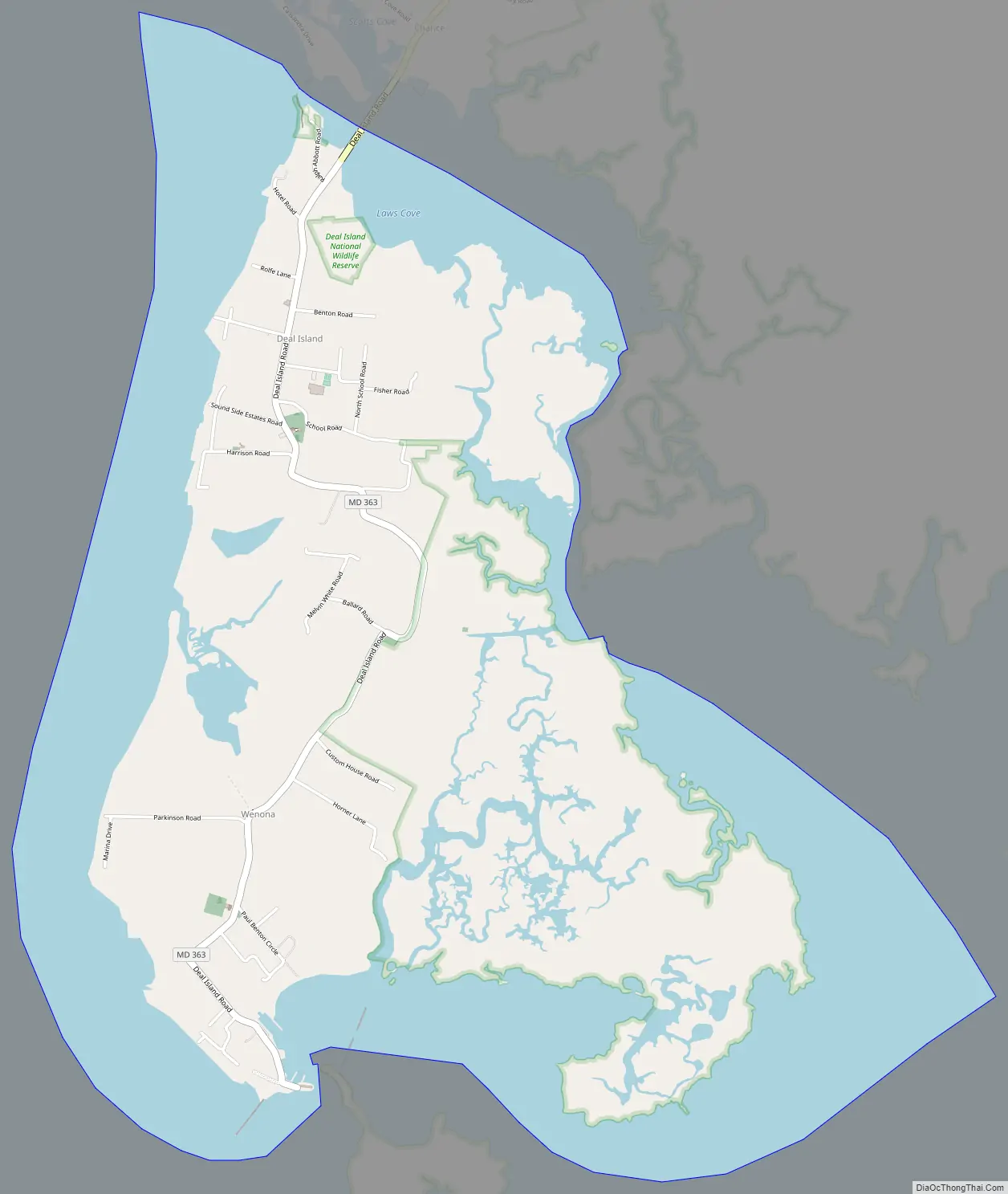
Deal Island Road Map
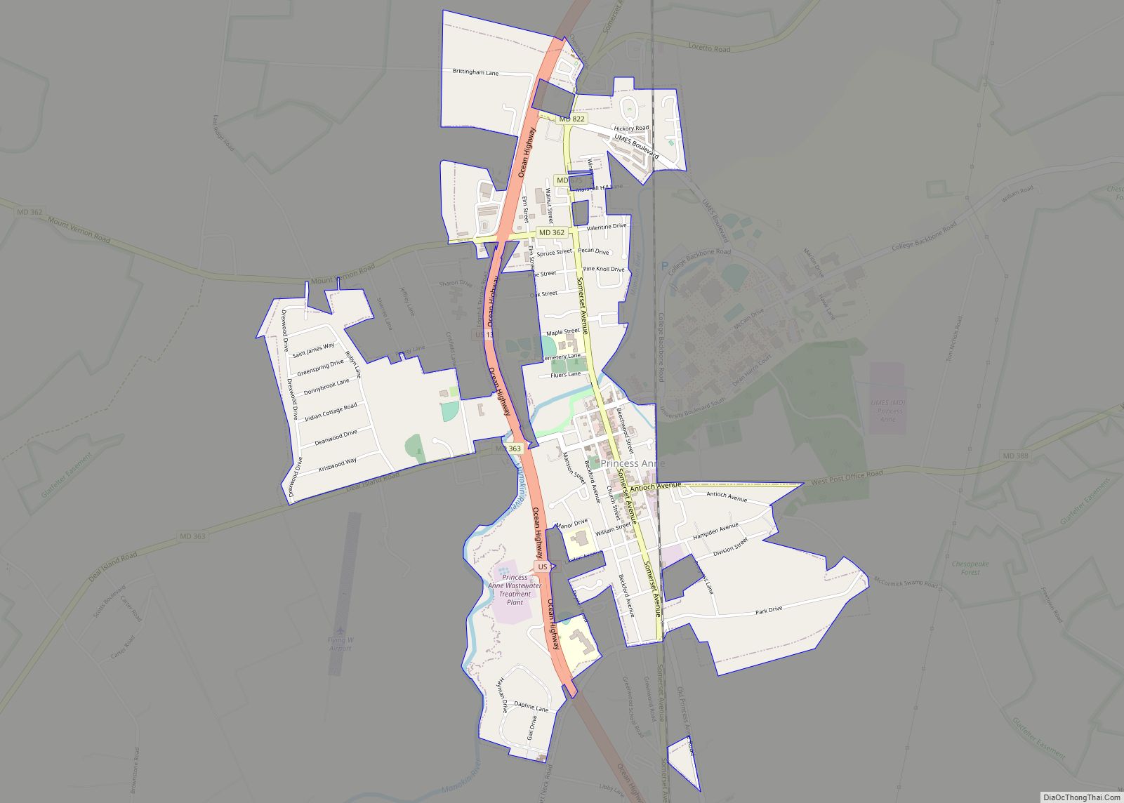
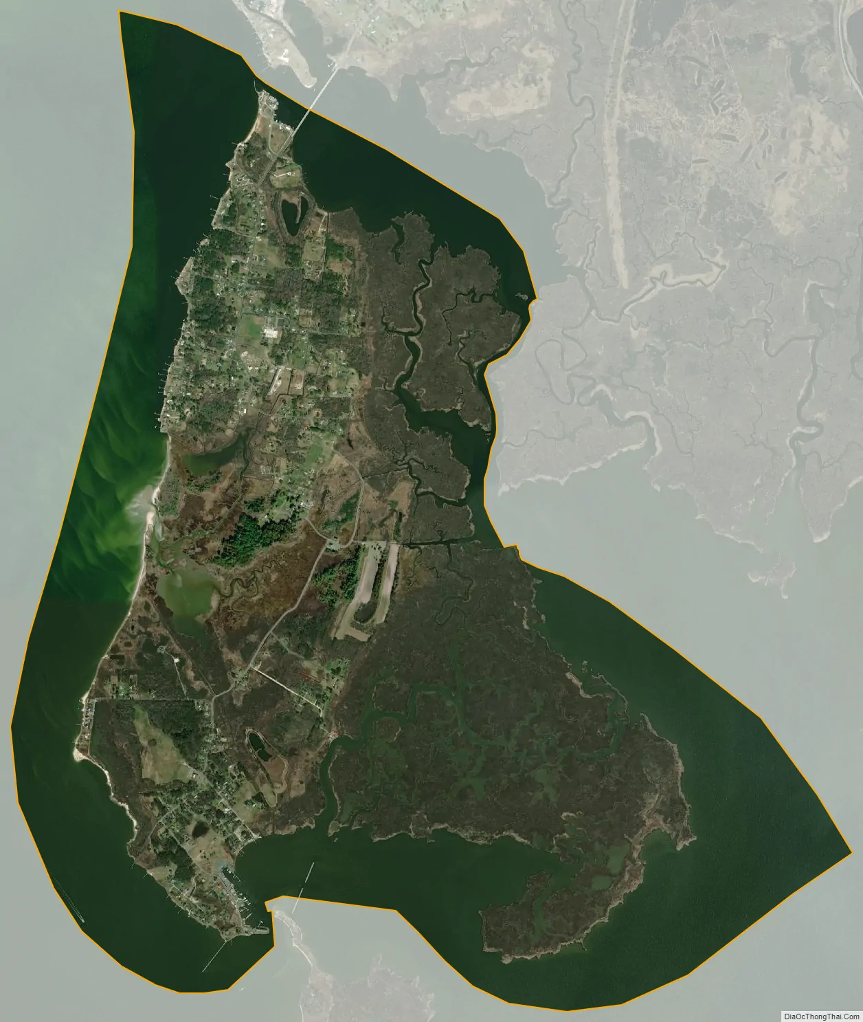
Deal Island city Satellite Map
Geography
Deal Island is located at 38°9′16″N 75°56′44″W / 38.15444°N 75.94556°W / 38.15444; -75.94556 (38.154551, −75.945659).
According to the United States Census Bureau, the CDP has a total area of 5.4 square miles (14 km), of which 3.2 square miles (8.3 km) is land and 2.1 square miles (5.4 km) (39.66%) is water.
Deal Island is approximately 6 miles (9.7 km) to the west-southwest of Deal Island Wildlife Management Area.
See also
Map of Maryland State and its subdivision: Map of other states:- Alabama
- Alaska
- Arizona
- Arkansas
- California
- Colorado
- Connecticut
- Delaware
- District of Columbia
- Florida
- Georgia
- Hawaii
- Idaho
- Illinois
- Indiana
- Iowa
- Kansas
- Kentucky
- Louisiana
- Maine
- Maryland
- Massachusetts
- Michigan
- Minnesota
- Mississippi
- Missouri
- Montana
- Nebraska
- Nevada
- New Hampshire
- New Jersey
- New Mexico
- New York
- North Carolina
- North Dakota
- Ohio
- Oklahoma
- Oregon
- Pennsylvania
- Rhode Island
- South Carolina
- South Dakota
- Tennessee
- Texas
- Utah
- Vermont
- Virginia
- Washington
- West Virginia
- Wisconsin
- Wyoming