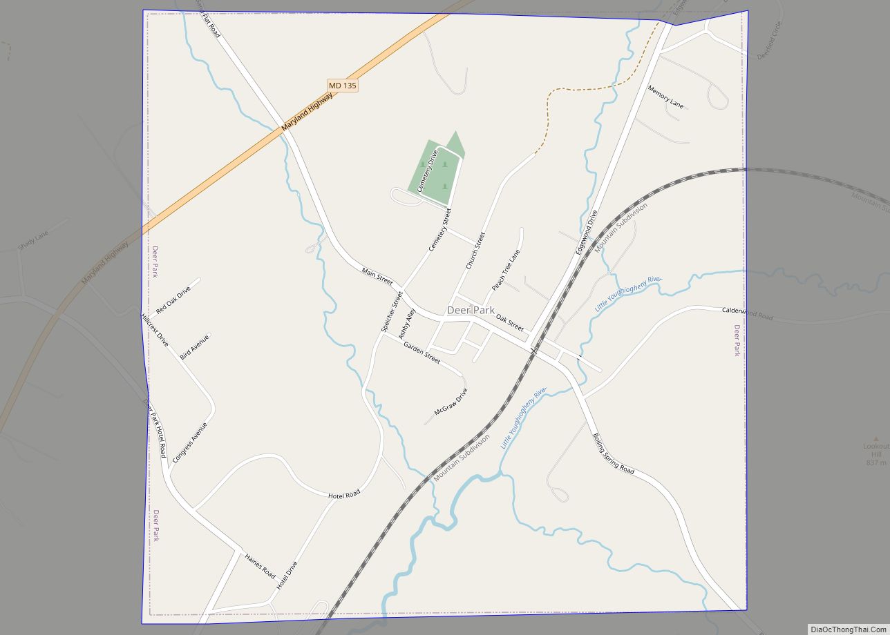
Deer Park is a town in Garrett County, Maryland, United States. The population was 399 at the 2010 census. It is part of the Pittsburgh Media Market.
| Name: | Deer Park town |
|---|---|
| LSAD Code: | 43 |
| LSAD Description: | town (suffix) |
| State: | Maryland |
| County: | Garrett County |
| Incorporated: | 1884 |
| Elevation: | 2,510 ft (765 m) |
| Total Area: | 1.00 sq mi (2.59 km²) |
| Land Area: | 1.00 sq mi (2.59 km²) |
| Water Area: | 0.00 sq mi (0.00 km²) |
| Total Population: | 303 |
| Population Density: | 303.30/sq mi (117.11/km²) |
| ZIP code: | 21550 |
| Area code: | 301, 240 |
| FIPS code: | 2422275 |
| GNISfeature ID: | 0590082 |
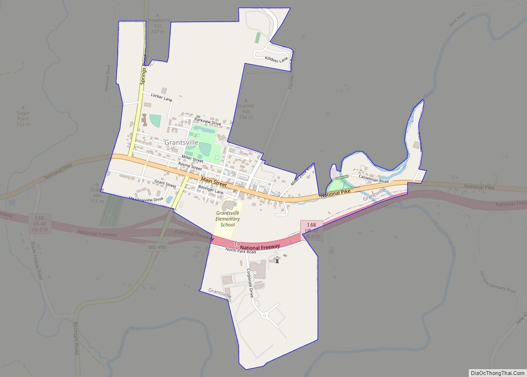
Online Interactive Map
Click on ![]() to view map in "full screen" mode.
to view map in "full screen" mode.
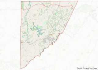
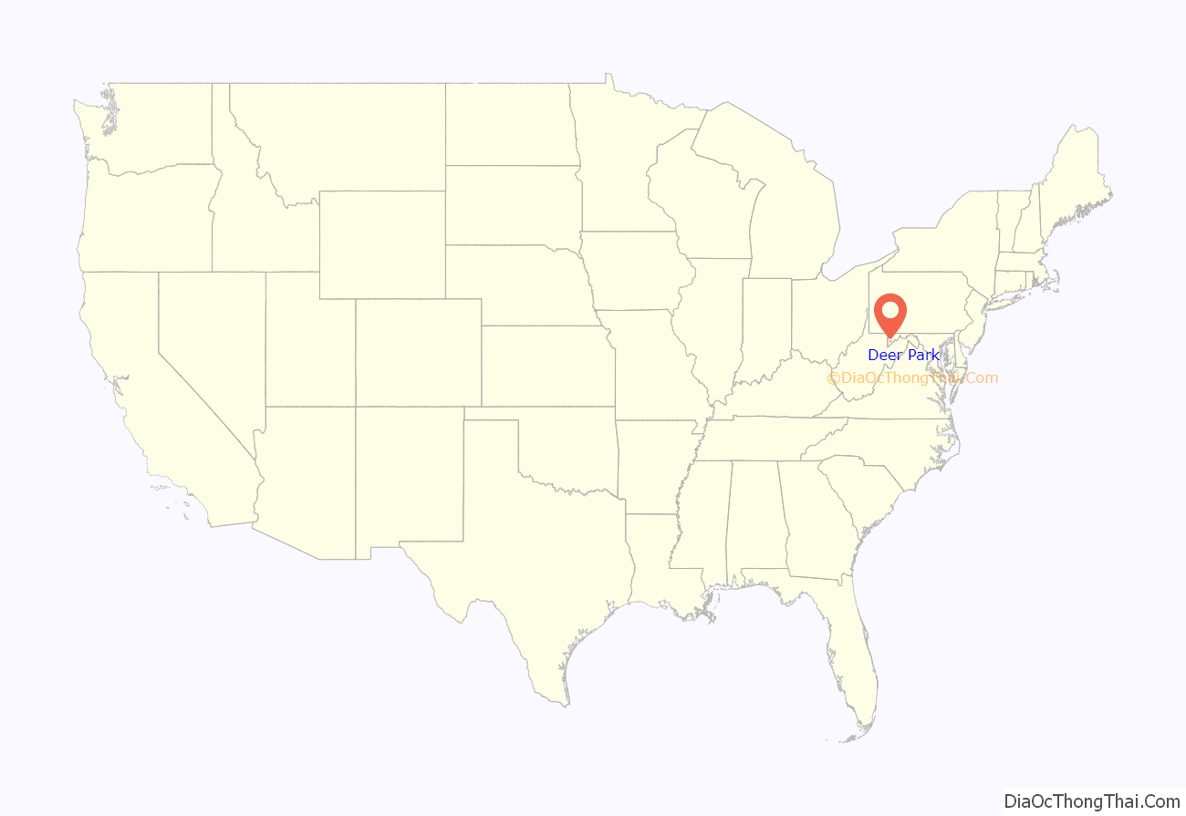
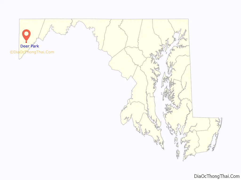
Deer Park location map. Where is Deer Park town?
History
The town of Deer Park traces its history back to the 1770s, long before Garrett County was established. The town was part of property owned by Lord Baltimore and was originally surveyed on April 14, 1774. Deer Park saw immense growth during the mid to late 1880s, primarily because of the Baltimore and Ohio Railroad. The Deer Park Hotel, constructed in 1872, served as the focal point for visitors who came to the mountaintop to enjoy the area’s scenery and cool temperatures during the summer months. Numerous large cottages were subsequently erected and made available to wealthy visitors.
President and Mrs. Grover Cleveland spent the first night of their honeymoon in Deer Park, June 3, 1886.
As automobiles became more readily available in the early 1900s, transportation was no longer limited to railroad service, and Deer Park lost its appeal as a vacation destination. The fortunes of the town took a gradual downturn. Fires and demolitions have destroyed many of the fine homes and hotels that once were abundant in the area.
Pennington Cottage was listed on the National Register of Historic Places in 1976. Glamorgan was listed in 1984.
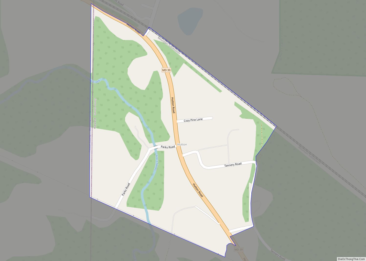
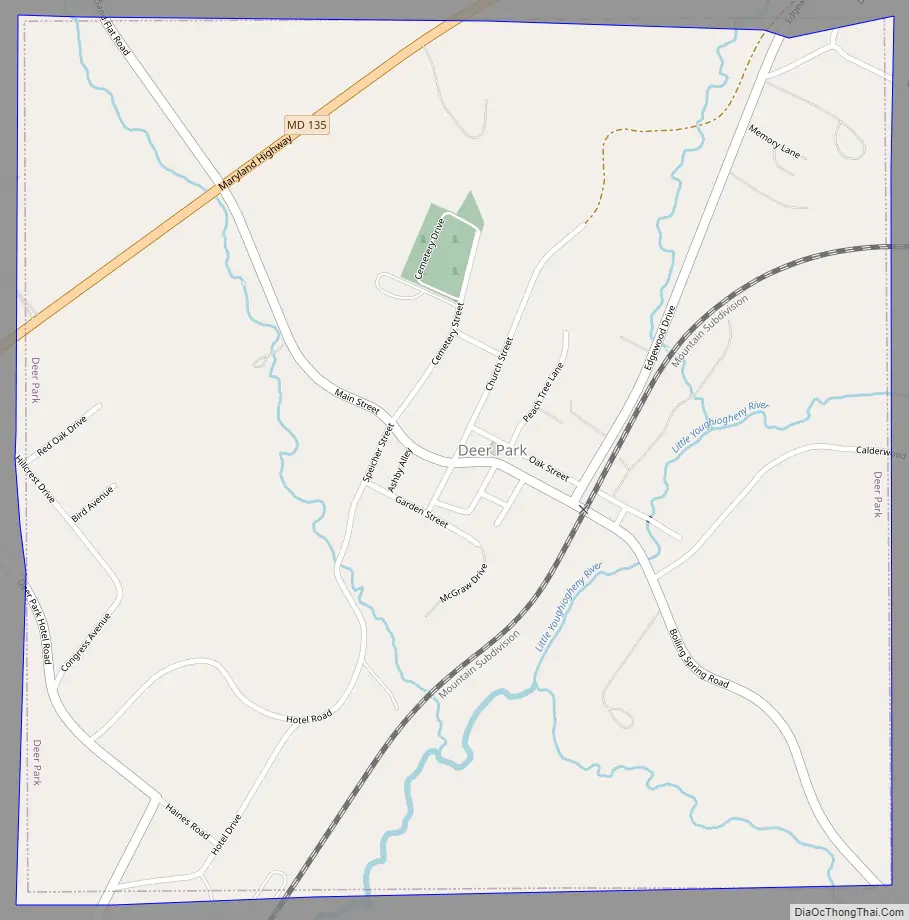
Deer Park Road Map
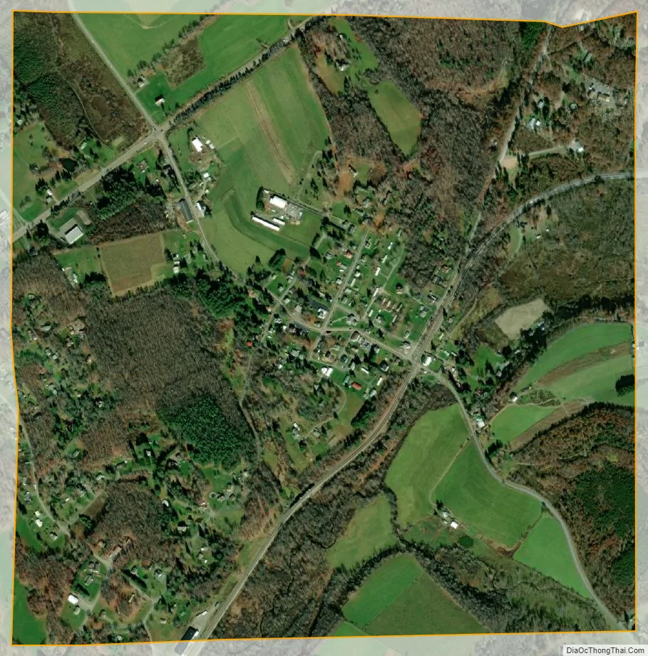
Deer Park city Satellite Map
Geography
Deer Park is located at 39°25′24″N 79°19′32″W / 39.42333°N 79.32556°W / 39.42333; -79.32556 (39.423438, -79.325597).
According to the United States Census Bureau, the town has a total area of 1.00 square mile (2.59 km), all land.
See also
Map of Maryland State and its subdivision: Map of other states:- Alabama
- Alaska
- Arizona
- Arkansas
- California
- Colorado
- Connecticut
- Delaware
- District of Columbia
- Florida
- Georgia
- Hawaii
- Idaho
- Illinois
- Indiana
- Iowa
- Kansas
- Kentucky
- Louisiana
- Maine
- Maryland
- Massachusetts
- Michigan
- Minnesota
- Mississippi
- Missouri
- Montana
- Nebraska
- Nevada
- New Hampshire
- New Jersey
- New Mexico
- New York
- North Carolina
- North Dakota
- Ohio
- Oklahoma
- Oregon
- Pennsylvania
- Rhode Island
- South Carolina
- South Dakota
- Tennessee
- Texas
- Utah
- Vermont
- Virginia
- Washington
- West Virginia
- Wisconsin
- Wyoming