Edgemere is an unincorporated community and census-designated place in Baltimore County, Maryland, United States. The population was 8,669 at the 2010 census. Founded in 1899 as Edgemere being renamed from previous name “Fitzell”. Meeting held at the Fitzell Farm which was situated where the old Rheem plant was located (later it became the record storage facility for Bethlehem Steel plant at Sparrows Point).
| Name: | Edgemere CDP |
|---|---|
| LSAD Code: | 57 |
| LSAD Description: | CDP (suffix) |
| State: | Maryland |
| County: | Baltimore County |
| Elevation: | 20 ft (6 m) |
| Total Area: | 20.57 sq mi (53.28 km²) |
| Land Area: | 10.87 sq mi (28.14 km²) |
| Water Area: | 9.71 sq mi (25.14 km²) |
| Total Population: | 9,069 |
| Population Density: | 834.70/sq mi (322.27/km²) |
| FIPS code: | 2424950 |
| GNISfeature ID: | 0590133 |
Online Interactive Map
Click on ![]() to view map in "full screen" mode.
to view map in "full screen" mode.
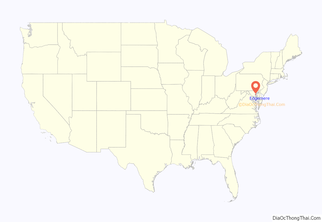
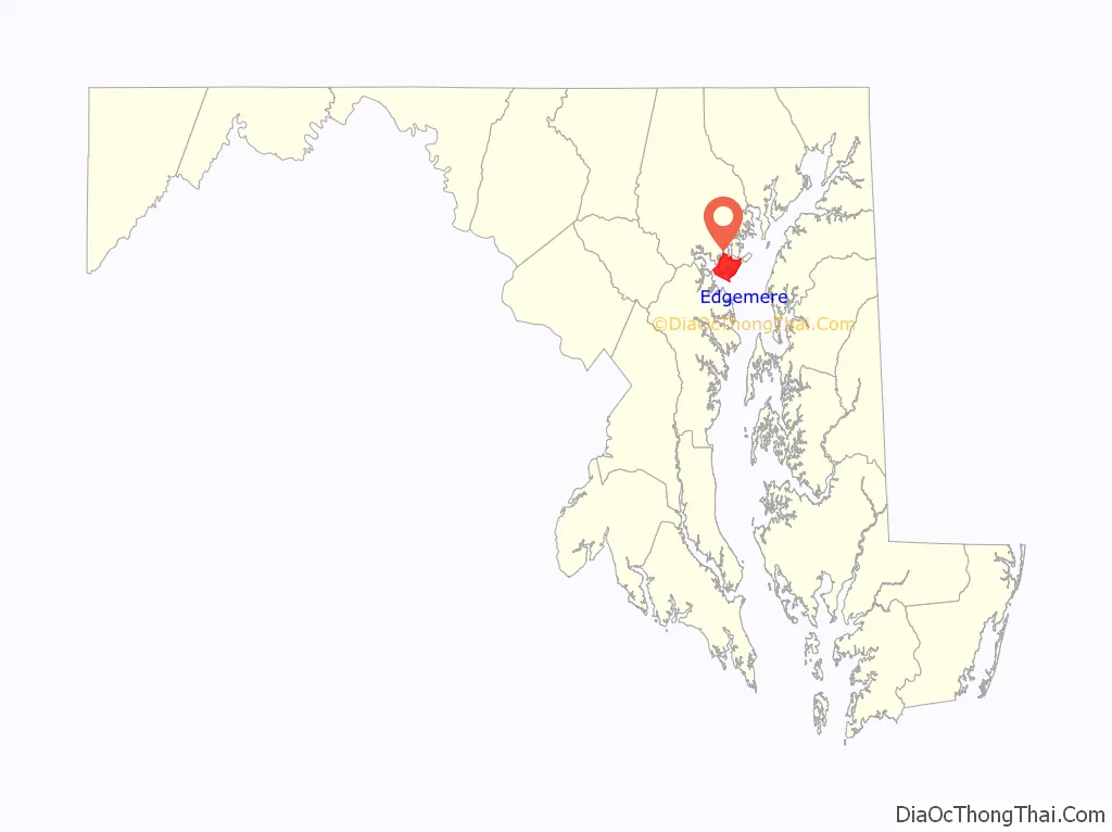
Edgemere location map. Where is Edgemere CDP?
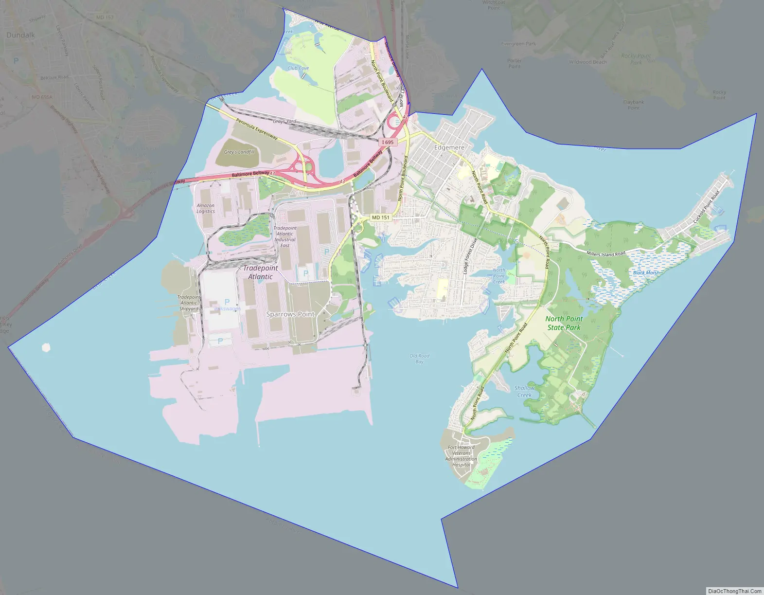
Edgemere Road Map
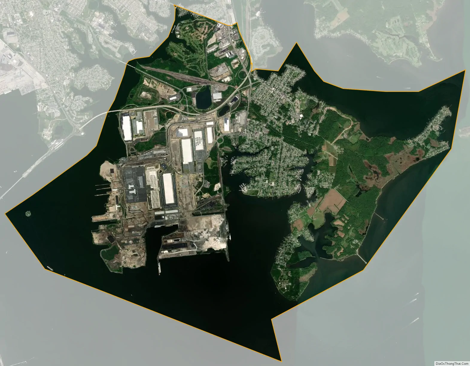
Edgemere city Satellite Map
Geography
Edgemere is located at 39°13′45″N 76°26′56″W / 39.22917°N 76.44889°W / 39.22917; -76.44889 (39.229258, −76.448981).
According to the United States Census Bureau, the CDP has a total area of 20.6 square miles (53 km), of which 10.8 square miles (28 km) is land and 9.8 square miles (25 km), or 47.47%, is water.
See also
Map of Maryland State and its subdivision: Map of other states:- Alabama
- Alaska
- Arizona
- Arkansas
- California
- Colorado
- Connecticut
- Delaware
- District of Columbia
- Florida
- Georgia
- Hawaii
- Idaho
- Illinois
- Indiana
- Iowa
- Kansas
- Kentucky
- Louisiana
- Maine
- Maryland
- Massachusetts
- Michigan
- Minnesota
- Mississippi
- Missouri
- Montana
- Nebraska
- Nevada
- New Hampshire
- New Jersey
- New Mexico
- New York
- North Carolina
- North Dakota
- Ohio
- Oklahoma
- Oregon
- Pennsylvania
- Rhode Island
- South Carolina
- South Dakota
- Tennessee
- Texas
- Utah
- Vermont
- Virginia
- Washington
- West Virginia
- Wisconsin
- Wyoming


