Eldorado /ˌɛldəˈreɪdoʊ/ EL-də-RAY-doh is a town in Dorchester County, Maryland, United States. The population was 45 at the 2020 census, making it the second smallest town in Maryland.
| Name: | Eldorado town |
|---|---|
| LSAD Code: | 43 |
| LSAD Description: | town (suffix) |
| State: | Maryland |
| County: | Dorchester County |
| Incorporated: | 1947 |
| Elevation: | 10 ft (3 m) |
| Total Area: | 0.08 sq mi (0.20 km²) |
| Land Area: | 0.07 sq mi (0.19 km²) |
| Water Area: | 0.00 sq mi (0.01 km²) |
| Total Population: | 45 |
| Population Density: | 616.44/sq mi (239.29/km²) |
| ZIP code: | 21659 |
| Area code: | 410, 443, and 667 |
| FIPS code: | 2425600 |
| GNISfeature ID: | 0584269 |
Online Interactive Map
Click on ![]() to view map in "full screen" mode.
to view map in "full screen" mode.
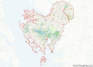
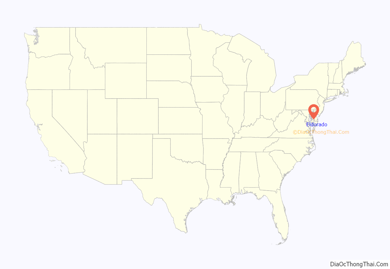
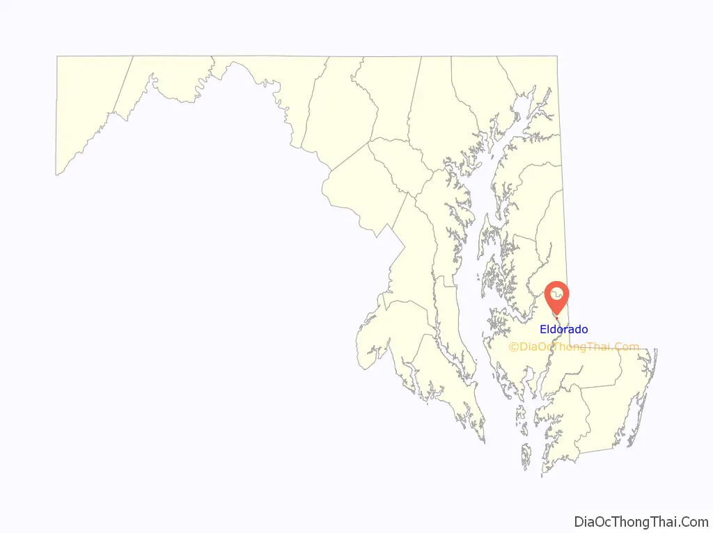
Eldorado location map. Where is Eldorado town?
History
Rehoboth was listed on the National Register of Historic Places in 1972. The Willin Village Archeological Site was listed in 1975.
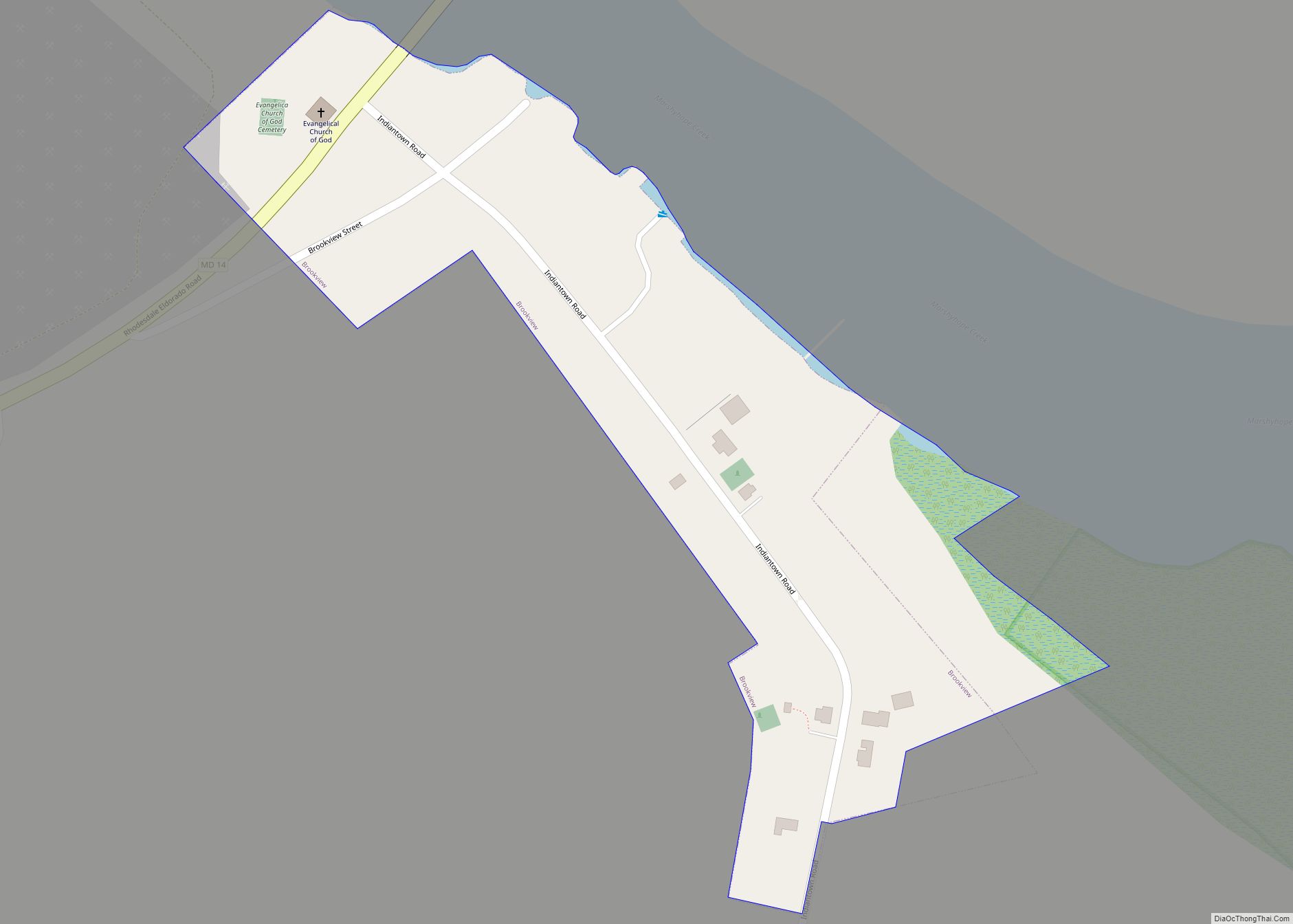
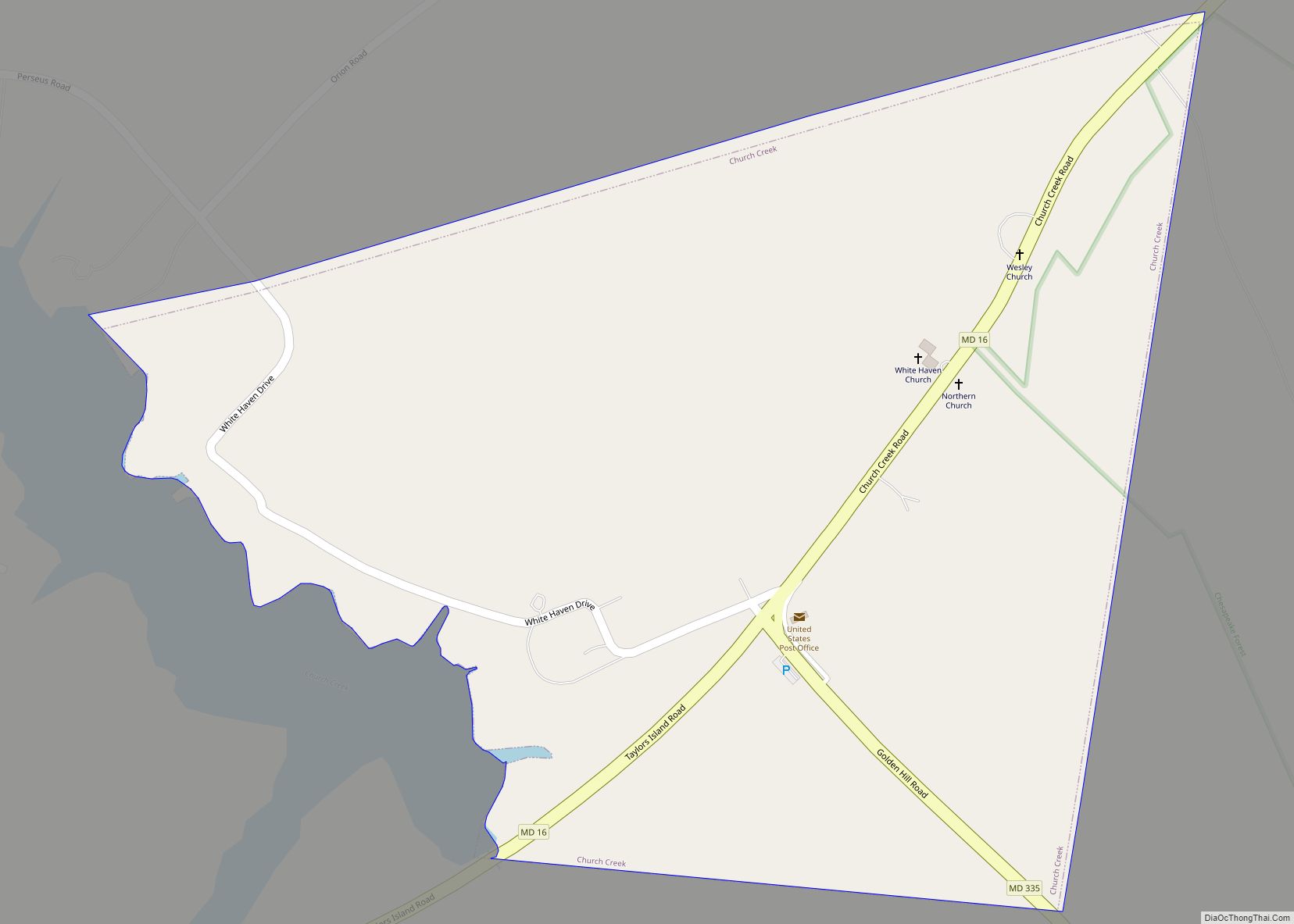
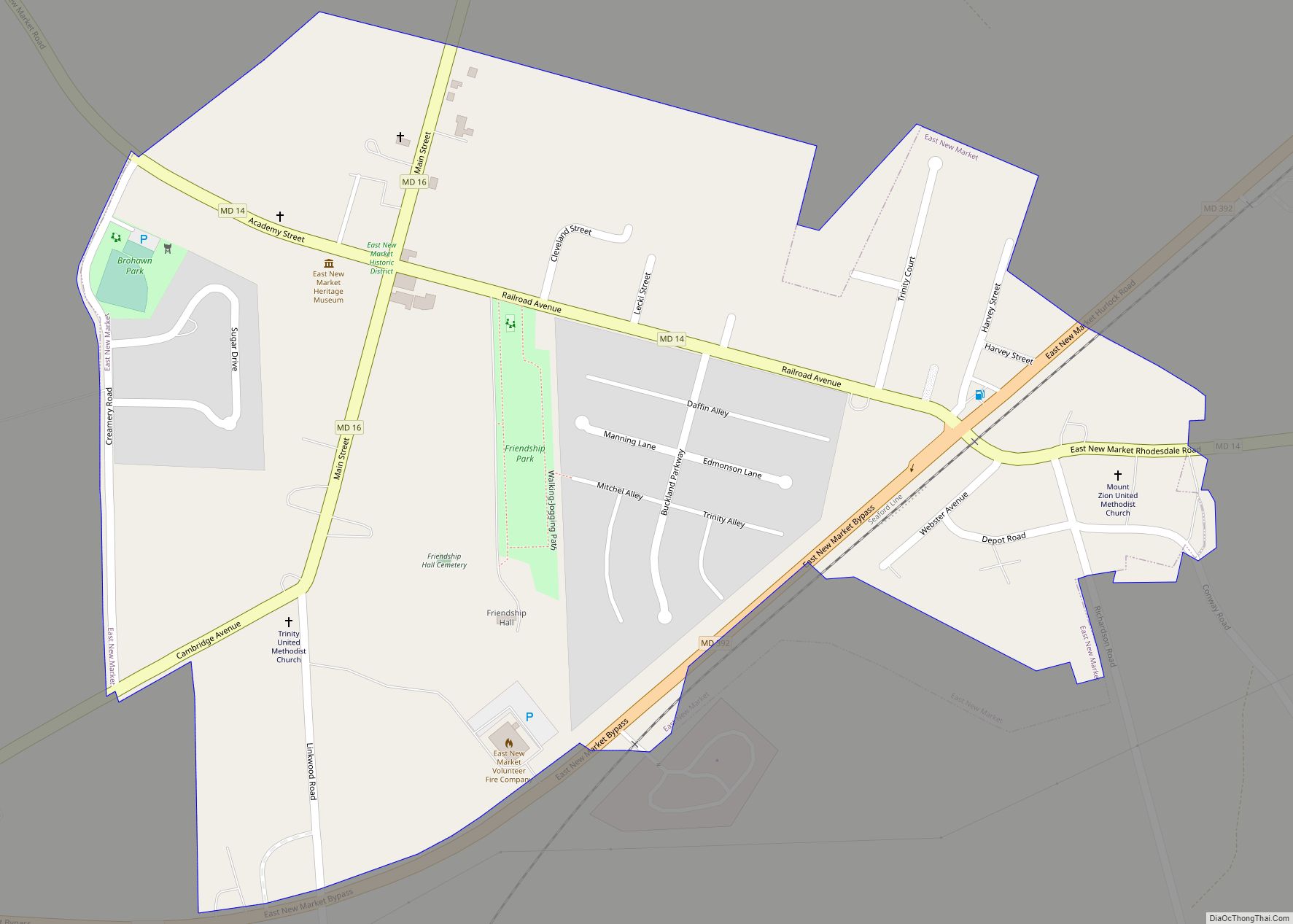
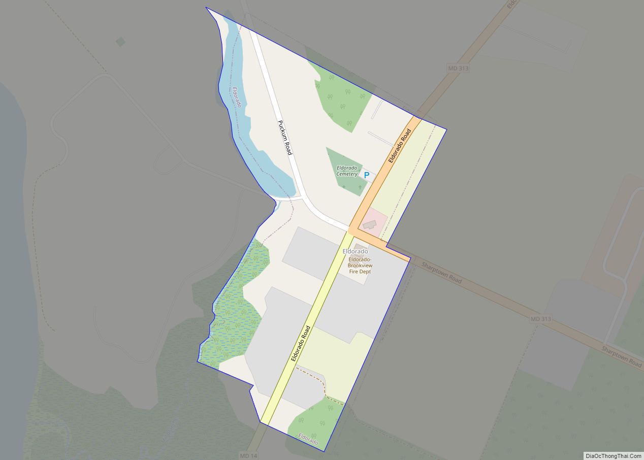
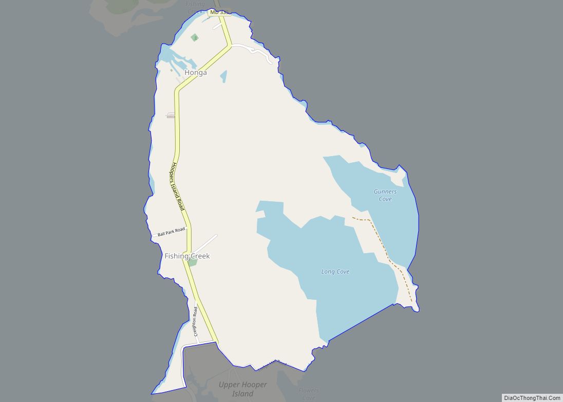
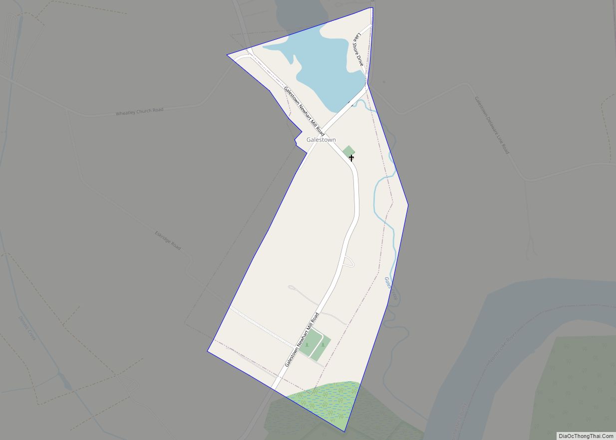
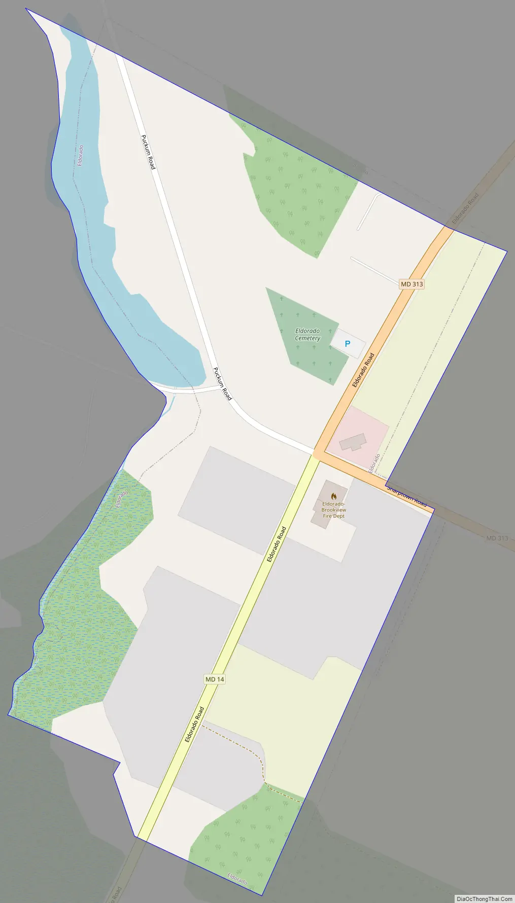
Eldorado Road Map
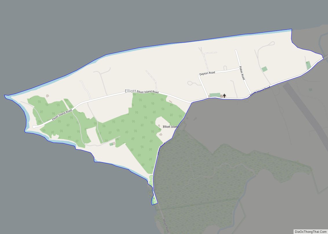
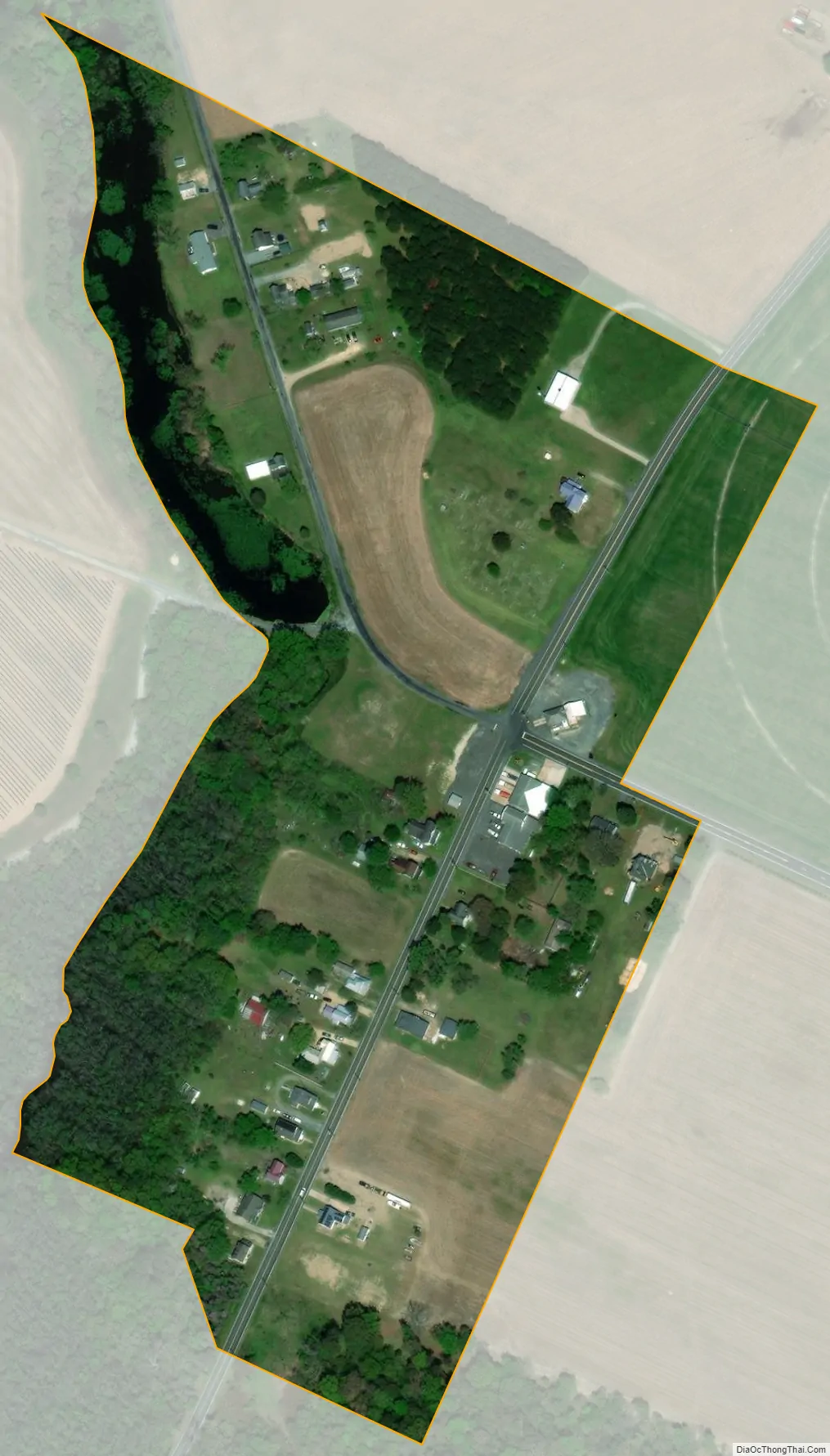
Eldorado city Satellite Map
Geography
Eldorado is located at 38°35′6″N 75°47′15″W / 38.58500°N 75.78750°W / 38.58500; -75.78750 (38.584874, -75.787617).
According to the United States Census Bureau, the town has a total area of 0.08 square mile (0.21 km), all land.
See also
Map of Maryland State and its subdivision: Map of other states:- Alabama
- Alaska
- Arizona
- Arkansas
- California
- Colorado
- Connecticut
- Delaware
- District of Columbia
- Florida
- Georgia
- Hawaii
- Idaho
- Illinois
- Indiana
- Iowa
- Kansas
- Kentucky
- Louisiana
- Maine
- Maryland
- Massachusetts
- Michigan
- Minnesota
- Mississippi
- Missouri
- Montana
- Nebraska
- Nevada
- New Hampshire
- New Jersey
- New Mexico
- New York
- North Carolina
- North Dakota
- Ohio
- Oklahoma
- Oregon
- Pennsylvania
- Rhode Island
- South Carolina
- South Dakota
- Tennessee
- Texas
- Utah
- Vermont
- Virginia
- Washington
- West Virginia
- Wisconsin
- Wyoming