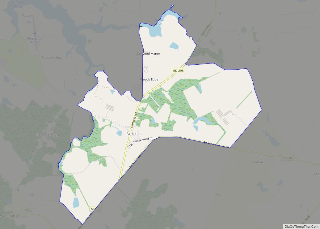
Fairlee is an unincorporated community and census-designated place in Kent County, Maryland, United States. Its population was 490 as of the 2010 census.
The Battle of Caulk’s Field during the War of 1812 took place near Fairlee on August 31, 1814; it ended in victory for the local militia, and the British commander was killed during the fighting.
The Fairlee Manor Camp House and St. Paul’s Church are listed on the National Register of Historic Places.
| Name: | Fairlee CDP |
|---|---|
| LSAD Code: | 57 |
| LSAD Description: | CDP (suffix) |
| State: | Maryland |
| County: | Kent County |
| Elevation: | 79 ft (24 m) |
| Total Area: | 3.91 sq mi (10.12 km²) |
| Land Area: | 3.79 sq mi (9.82 km²) |
| Water Area: | 0.12 sq mi (0.30 km²) |
| Total Population: | 500 |
| Population Density: | 131.89/sq mi (50.92/km²) |
| ZIP code: | 21620 |
| Area code: | 410 & 443 |
| FIPS code: | 2427325 |
| GNISfeature ID: | 588770 |
Online Interactive Map
Click on ![]() to view map in "full screen" mode.
to view map in "full screen" mode.
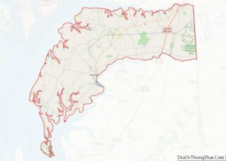
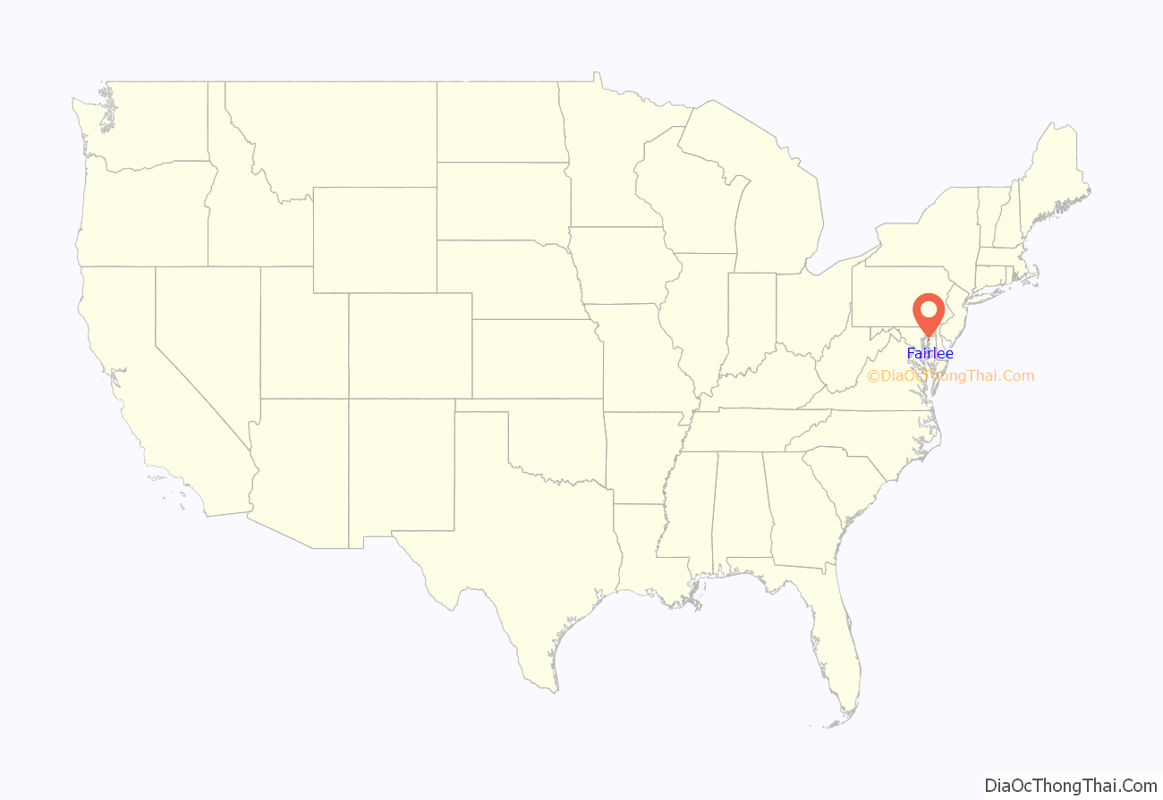
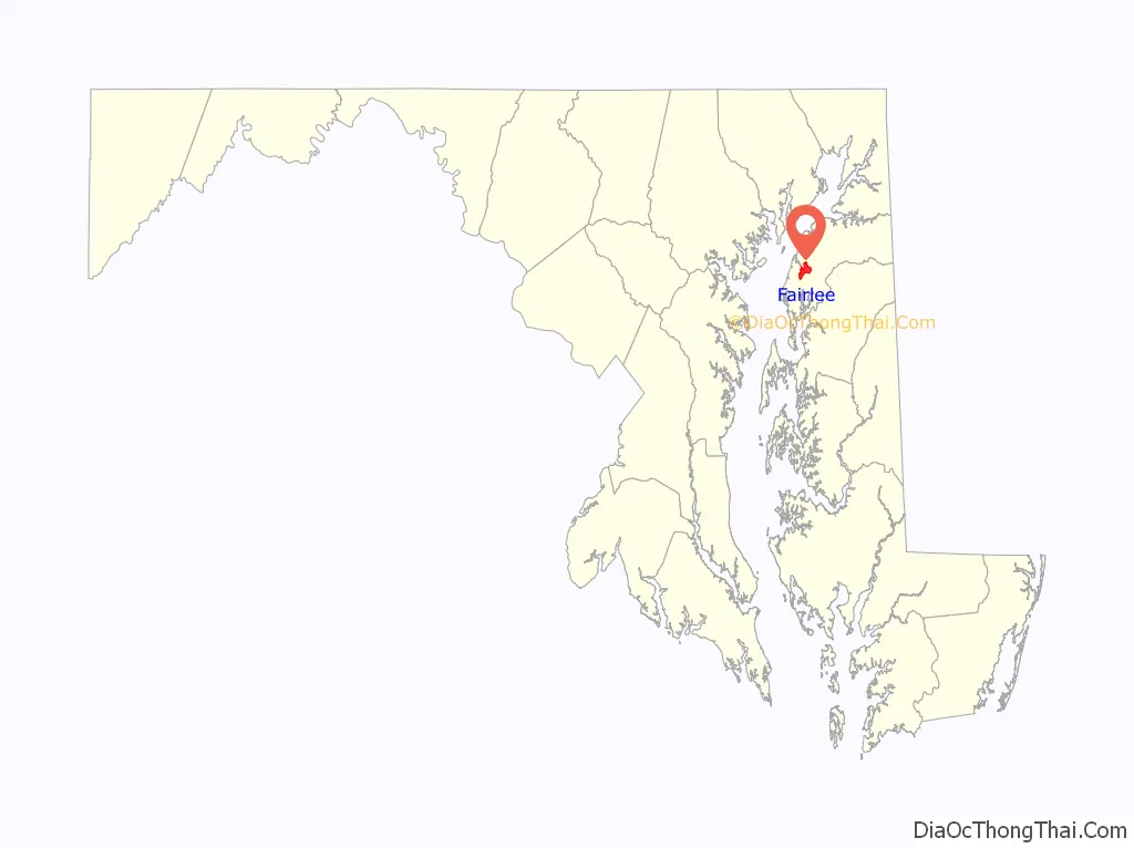
Fairlee location map. Where is Fairlee CDP?
Fairlee Road Map

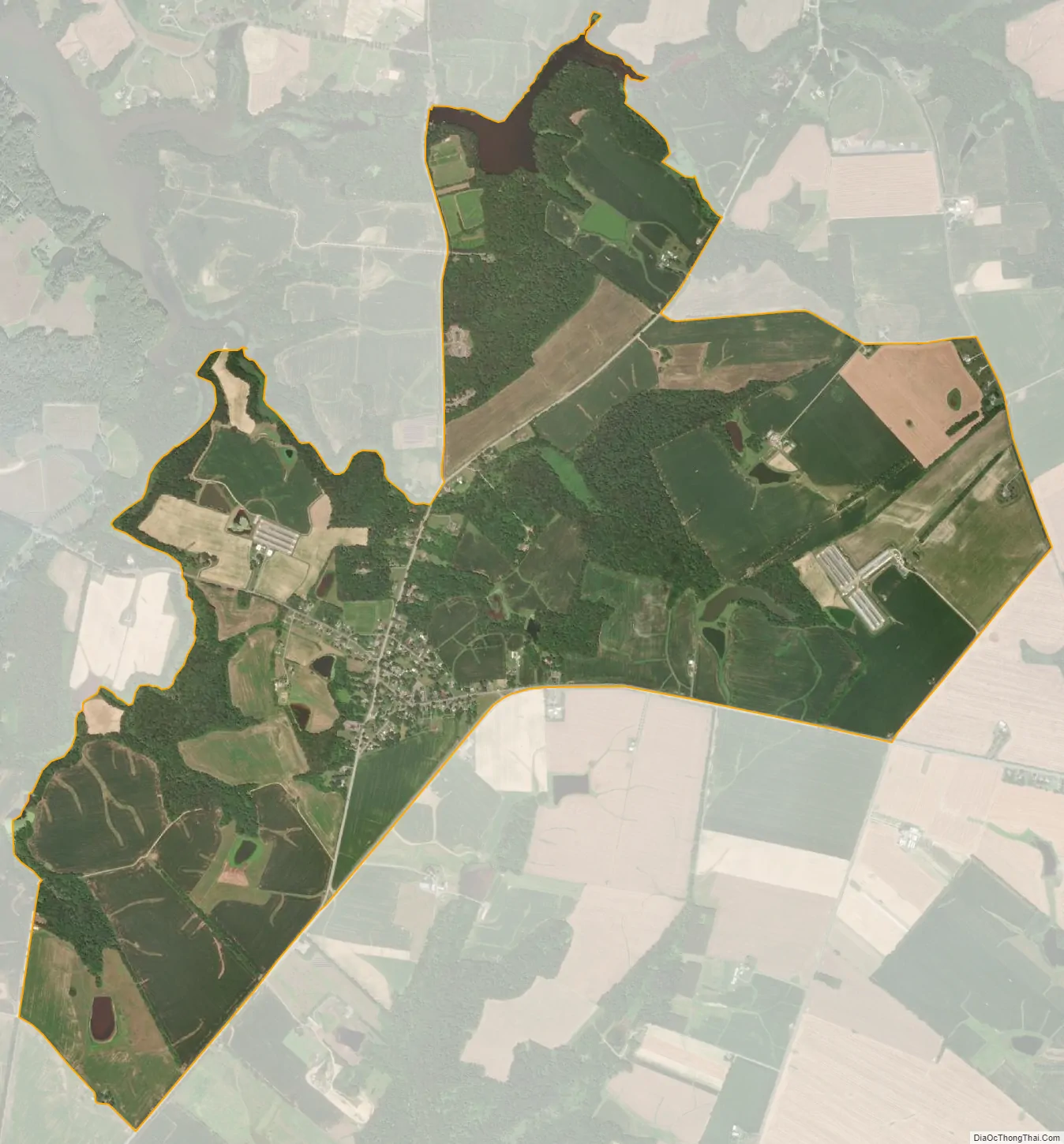
Fairlee city Satellite Map
See also
Map of Maryland State and its subdivision: Map of other states:- Alabama
- Alaska
- Arizona
- Arkansas
- California
- Colorado
- Connecticut
- Delaware
- District of Columbia
- Florida
- Georgia
- Hawaii
- Idaho
- Illinois
- Indiana
- Iowa
- Kansas
- Kentucky
- Louisiana
- Maine
- Maryland
- Massachusetts
- Michigan
- Minnesota
- Mississippi
- Missouri
- Montana
- Nebraska
- Nevada
- New Hampshire
- New Jersey
- New Mexico
- New York
- North Carolina
- North Dakota
- Ohio
- Oklahoma
- Oregon
- Pennsylvania
- Rhode Island
- South Carolina
- South Dakota
- Tennessee
- Texas
- Utah
- Vermont
- Virginia
- Washington
- West Virginia
- Wisconsin
- Wyoming