Fairplay is an unincorporated community and census-designated place (CDP) in Washington County, Maryland, United States. Its population was 580 as of the 2010 census. It is sometimes recognized, along with neighboring Tilghmanton, as Fairplay-Tilghmanton; the two communities share a post office as well as a fire company. Fairplay is located between Hagerstown and Sharpsburg, along Maryland Route 65 and is part of the Hagerstown Metropolitan Area. Marsh Mills was listed on the National Register of Historic Places in 1996.
According to tradition, Fairplay was so named on account of the welcoming nature of the first settlers.
Refugee Resettlement Watch, an anti-Muslim hate group, has its headquarters in Fairplay.
| Name: | Fairplay CDP |
|---|---|
| LSAD Code: | 57 |
| LSAD Description: | CDP (suffix) |
| State: | Maryland |
| County: | Washington County |
| Elevation: | 469 ft (143 m) |
| Total Area: | 1.20 sq mi (3.12 km²) |
| Land Area: | 1.20 sq mi (3.12 km²) |
| Water Area: | 0.00 sq mi (0.00 km²) |
| Total Population: | 537 |
| Population Density: | 446.01/sq mi (172.19/km²) |
| ZIP code: | 21733 |
| Area code: | 301, 240 |
| FIPS code: | 2427425 |
| GNISfeature ID: | 590186 |
Online Interactive Map
Click on ![]() to view map in "full screen" mode.
to view map in "full screen" mode.
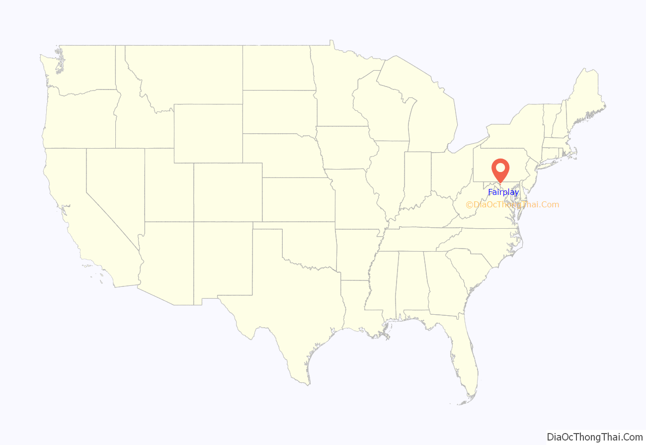
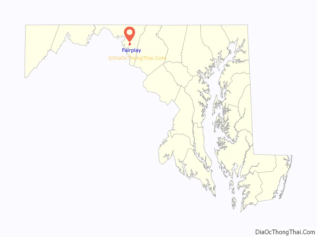
Fairplay location map. Where is Fairplay CDP?
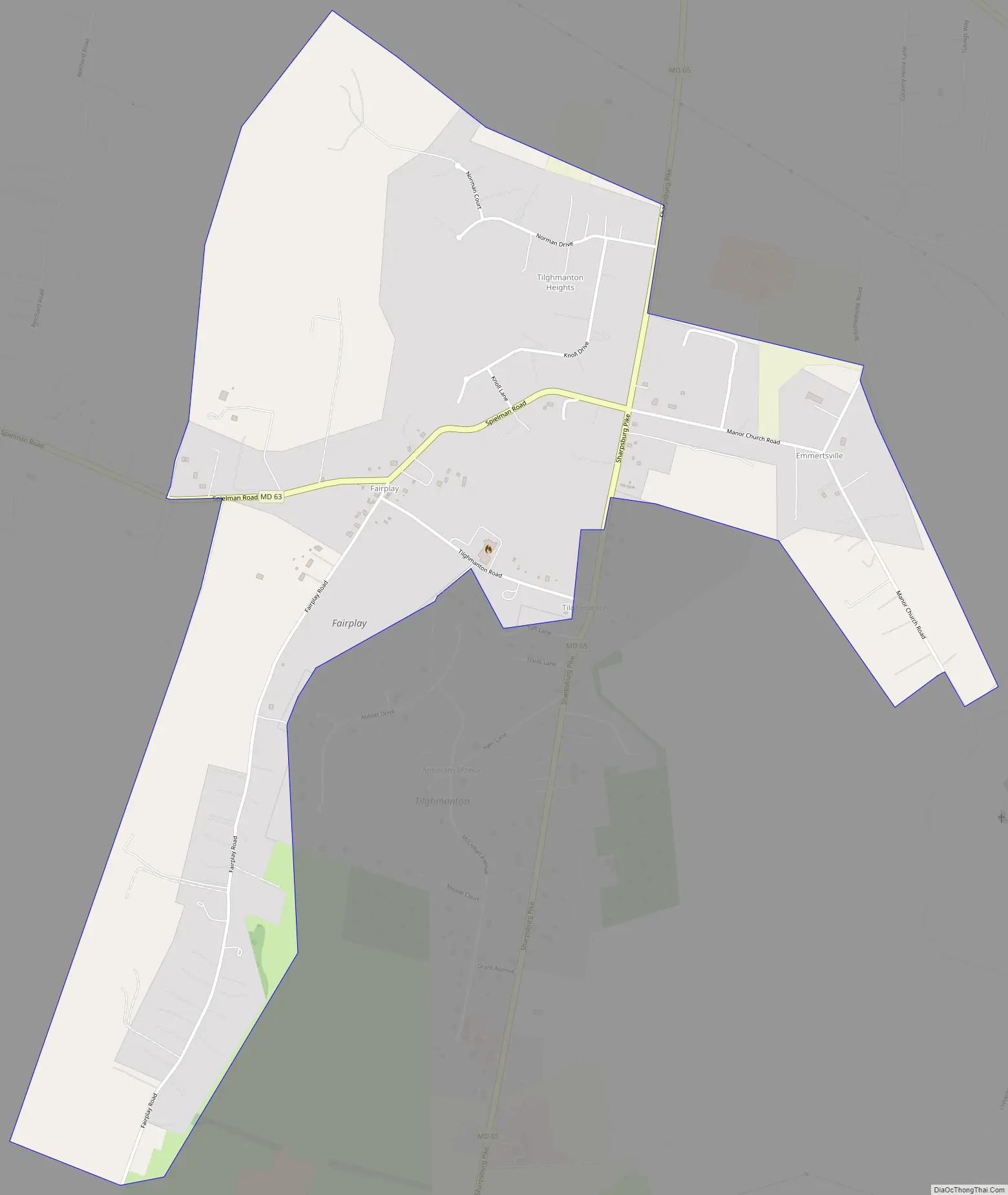
Fairplay Road Map
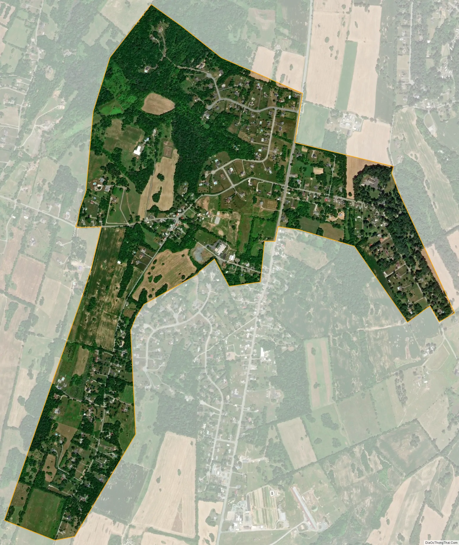
Fairplay city Satellite Map
Geography
According to the U.S. Census Bureau, the community has an area of 1.204 square miles (3.12 km), all land.
See also
Map of Maryland State and its subdivision: Map of other states:- Alabama
- Alaska
- Arizona
- Arkansas
- California
- Colorado
- Connecticut
- Delaware
- District of Columbia
- Florida
- Georgia
- Hawaii
- Idaho
- Illinois
- Indiana
- Iowa
- Kansas
- Kentucky
- Louisiana
- Maine
- Maryland
- Massachusetts
- Michigan
- Minnesota
- Mississippi
- Missouri
- Montana
- Nebraska
- Nevada
- New Hampshire
- New Jersey
- New Mexico
- New York
- North Carolina
- North Dakota
- Ohio
- Oklahoma
- Oregon
- Pennsylvania
- Rhode Island
- South Carolina
- South Dakota
- Tennessee
- Texas
- Utah
- Vermont
- Virginia
- Washington
- West Virginia
- Wisconsin
- Wyoming


