Frenchtown-Rumbly is a census-designated place in Somerset County, Maryland, United States. The population was 96 at the 2000 census. It is included in the Salisbury, Maryland-Delaware Metropolitan Statistical Area.
| Name: | Frenchtown-Rumbly CDP |
|---|---|
| LSAD Code: | 57 |
| LSAD Description: | CDP (suffix) |
| State: | Maryland |
| County: | Somerset County |
| Total Area: | 8.39 sq mi (21.74 km²) |
| Land Area: | 3.76 sq mi (9.73 km²) |
| Water Area: | 4.63 sq mi (12.01 km²) |
| Total Population: | 86 |
| Population Density: | 22.88/sq mi (8.84/km²) |
| FIPS code: | 2430567 |
Online Interactive Map
Click on ![]() to view map in "full screen" mode.
to view map in "full screen" mode.
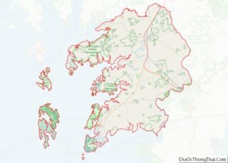
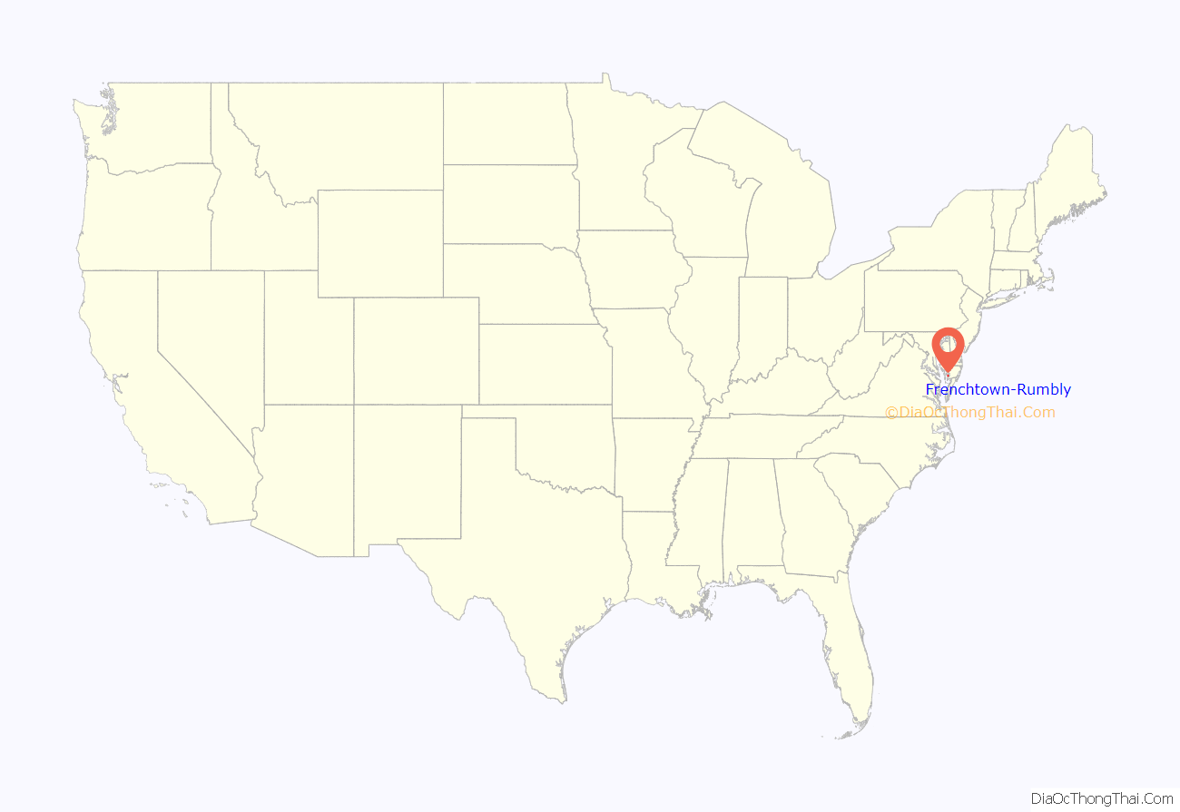
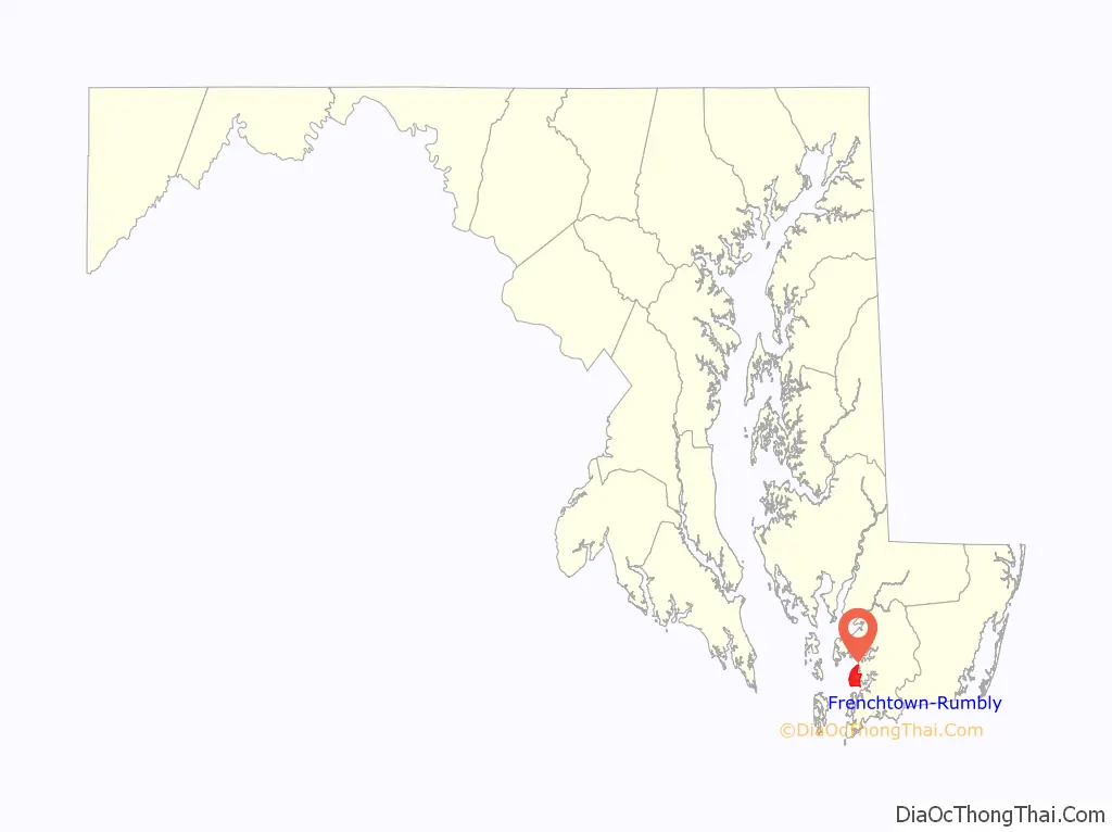
Frenchtown-Rumbly location map. Where is Frenchtown-Rumbly CDP?
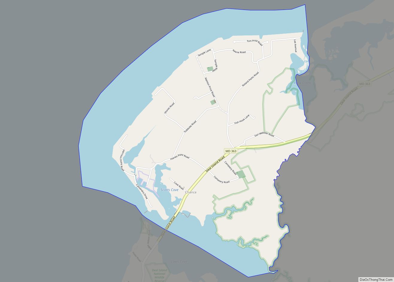
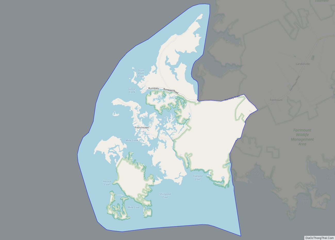
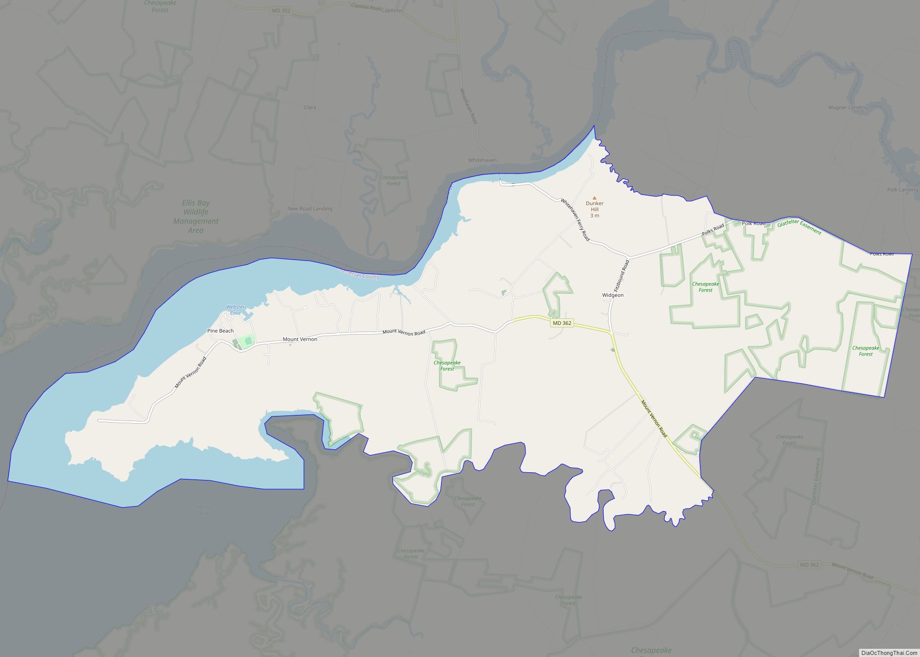
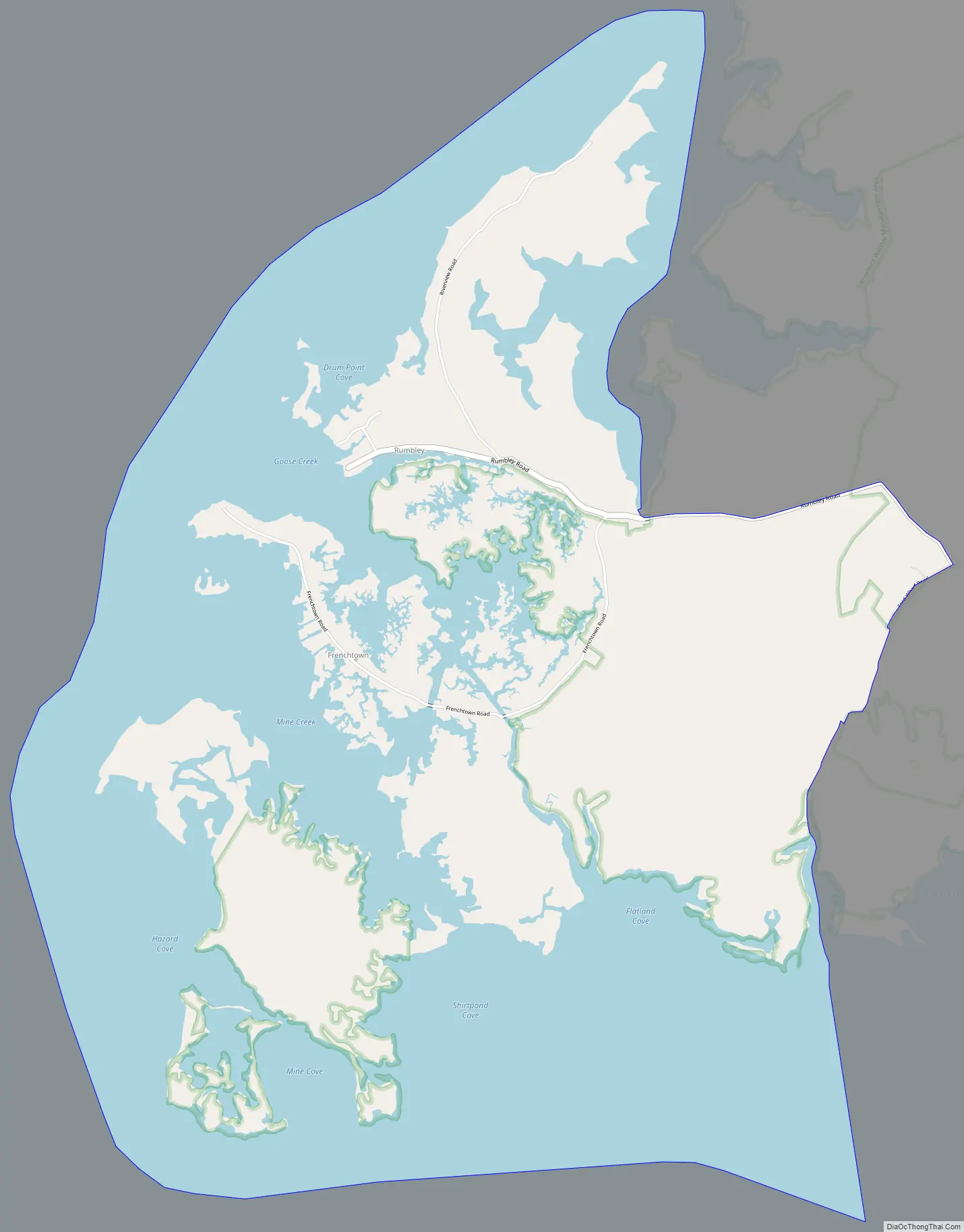
Frenchtown-Rumbly Road Map
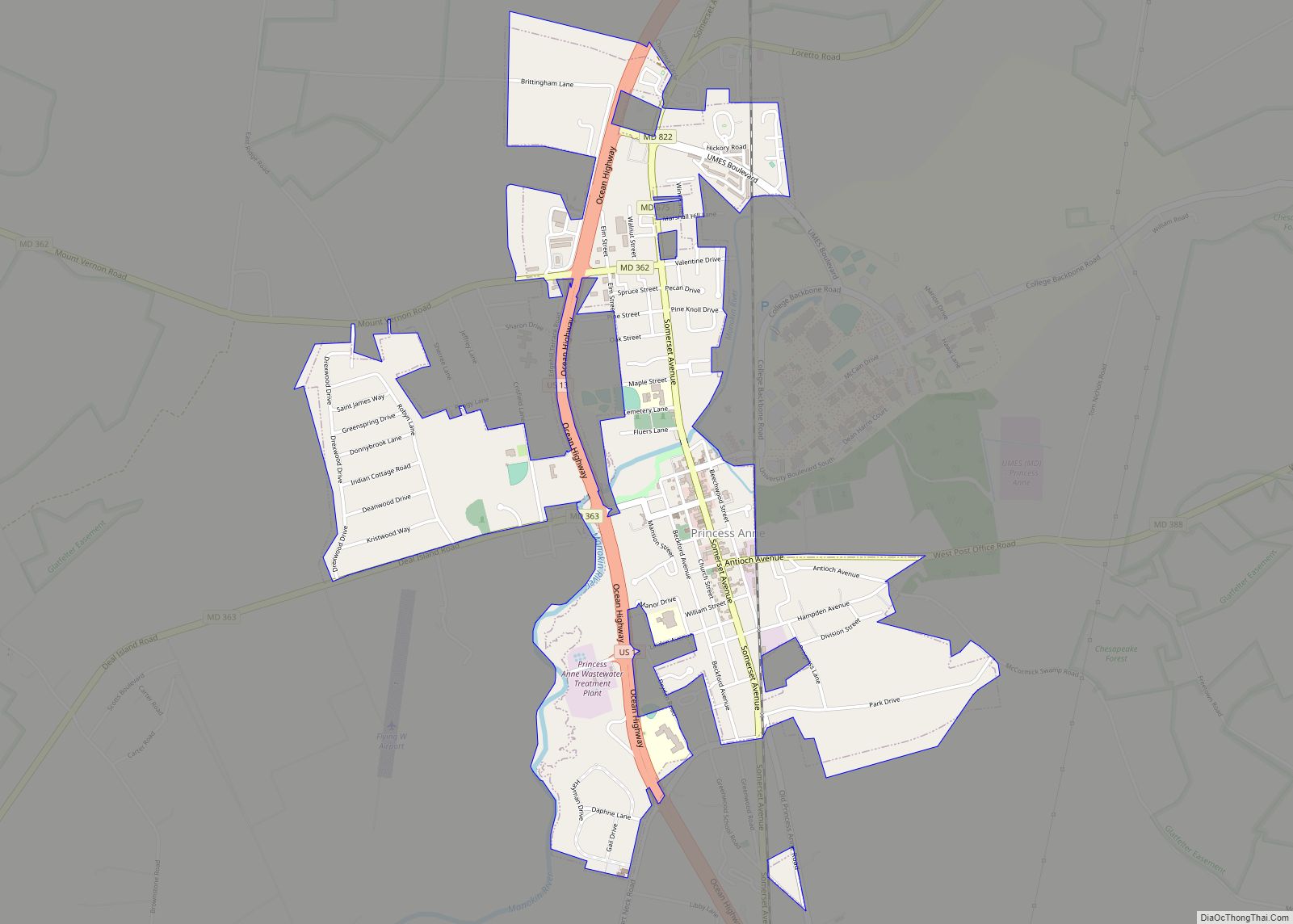
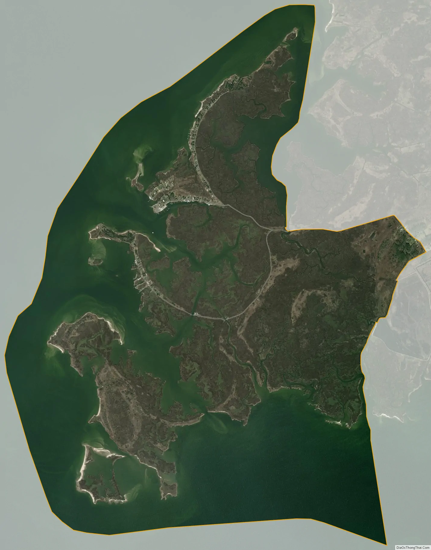
Frenchtown-Rumbly city Satellite Map
Geography
Frenchtown-Rumbly is located at 38°4′57″N 75°51′46″W / 38.08250°N 75.86278°W / 38.08250; -75.86278 (38.082475, −75.862791).
According to the United States Census Bureau, the CDP has a total area of 8.4 square miles (22 km), of which 4.2 square miles (11 km) is land and 4.2 square miles (11 km) (50.36%) is water.
See also
Map of Maryland State and its subdivision: Map of other states:- Alabama
- Alaska
- Arizona
- Arkansas
- California
- Colorado
- Connecticut
- Delaware
- District of Columbia
- Florida
- Georgia
- Hawaii
- Idaho
- Illinois
- Indiana
- Iowa
- Kansas
- Kentucky
- Louisiana
- Maine
- Maryland
- Massachusetts
- Michigan
- Minnesota
- Mississippi
- Missouri
- Montana
- Nebraska
- Nevada
- New Hampshire
- New Jersey
- New Mexico
- New York
- North Carolina
- North Dakota
- Ohio
- Oklahoma
- Oregon
- Pennsylvania
- Rhode Island
- South Carolina
- South Dakota
- Tennessee
- Texas
- Utah
- Vermont
- Virginia
- Washington
- West Virginia
- Wisconsin
- Wyoming