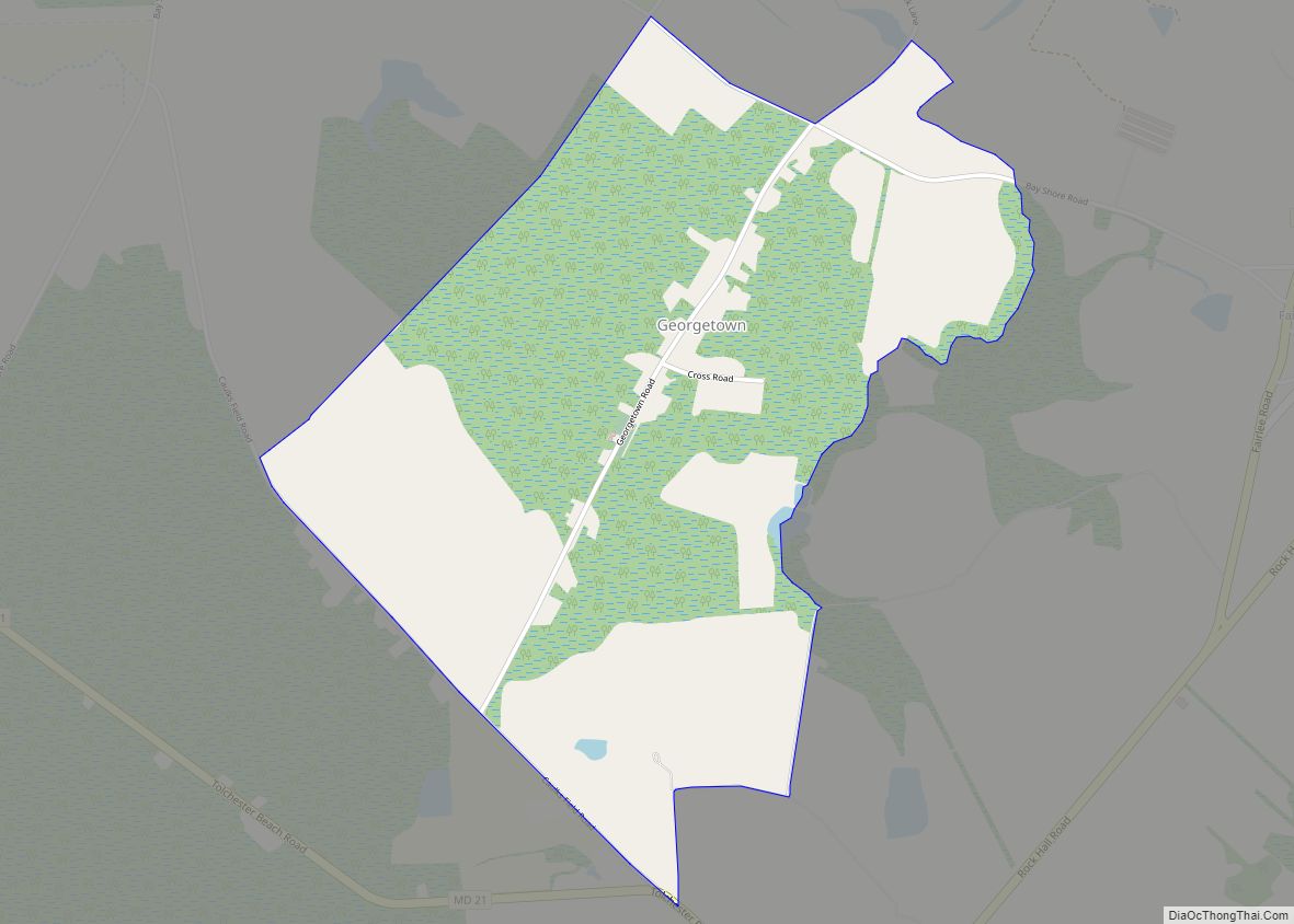
Georgetown is an unincorporated community and census-designated place in western Kent County, Maryland, United States.Per the 2020 census, the population was 117. It should not be confused with the community of the same name 22 miles (35 km) to the northeast on the Kent/Cecil County border.
| Name: | Georgetown CDP |
|---|---|
| LSAD Code: | 57 |
| LSAD Description: | CDP (suffix) |
| State: | Maryland |
| County: | Kent County |
| Elevation: | 43 ft (13 m) |
| Total Area: | 1.48 sq mi (3.82 km²) |
| Land Area: | 1.47 sq mi (3.81 km²) |
| Water Area: | 0.01 sq mi (0.01 km²) |
| Total Population: | 117 |
| Population Density: | 79.59/sq mi (30.73/km²) |
| Area code: | 410 & 443 |
| FIPS code: | 2431875 |
| GNISfeature ID: | 2583629 |
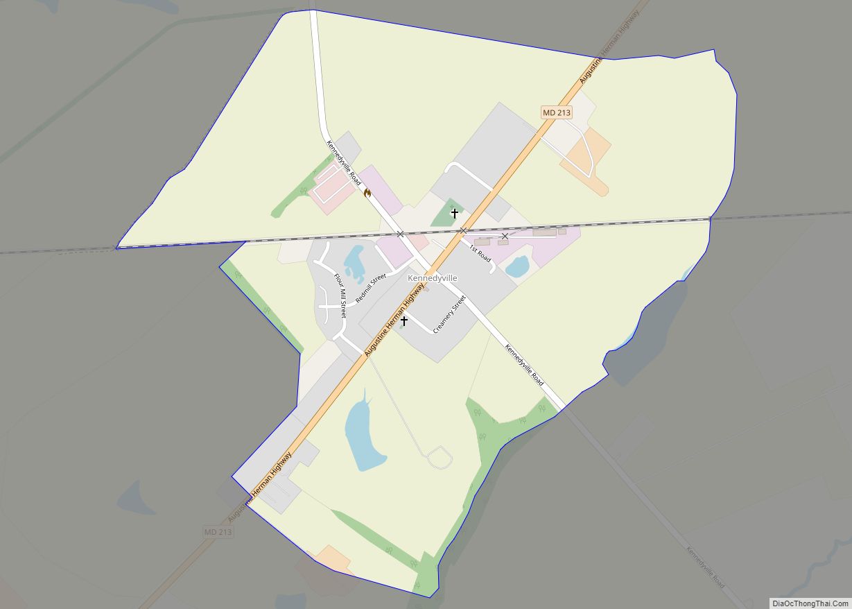
Online Interactive Map
Click on ![]() to view map in "full screen" mode.
to view map in "full screen" mode.
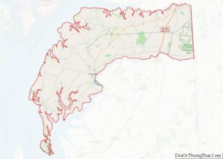
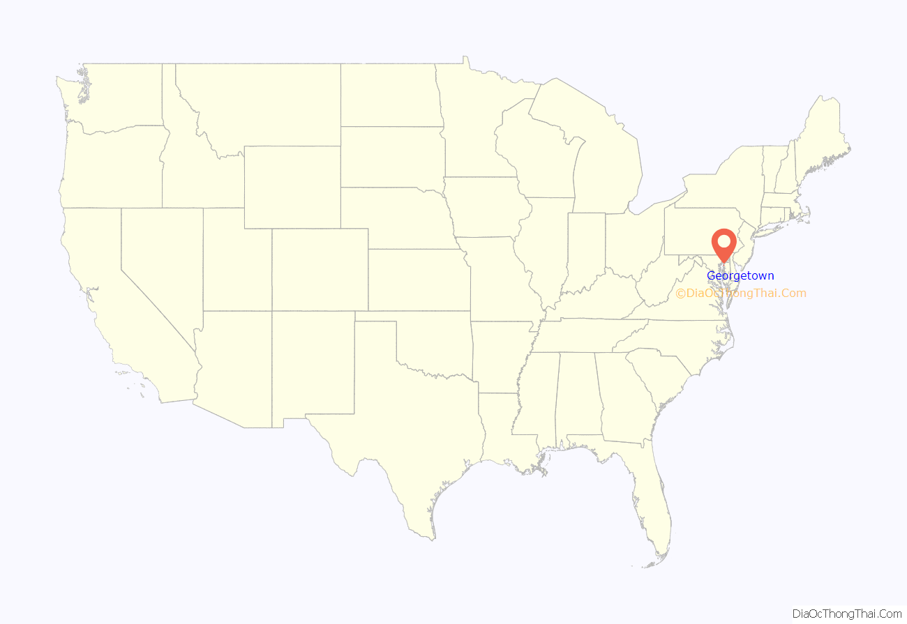
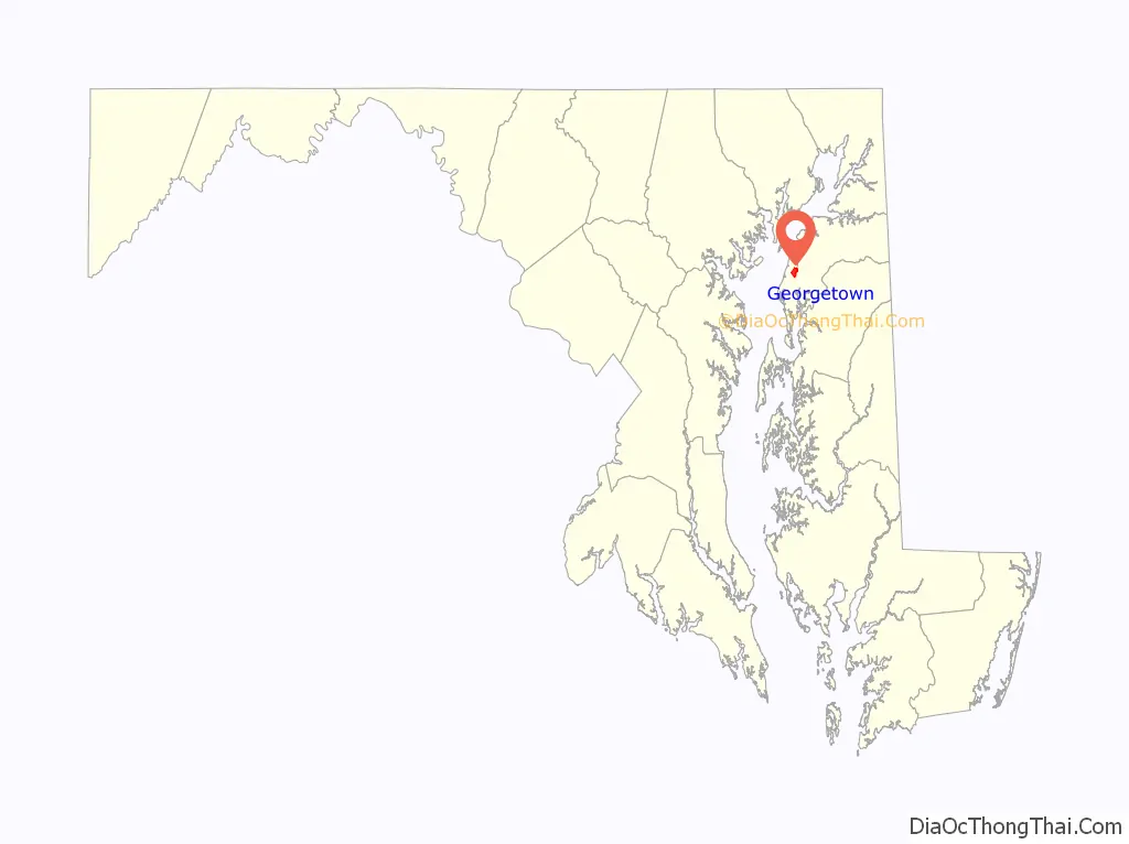
Georgetown location map. Where is Georgetown CDP?
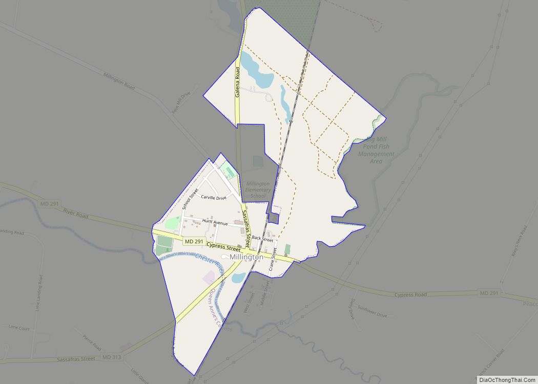
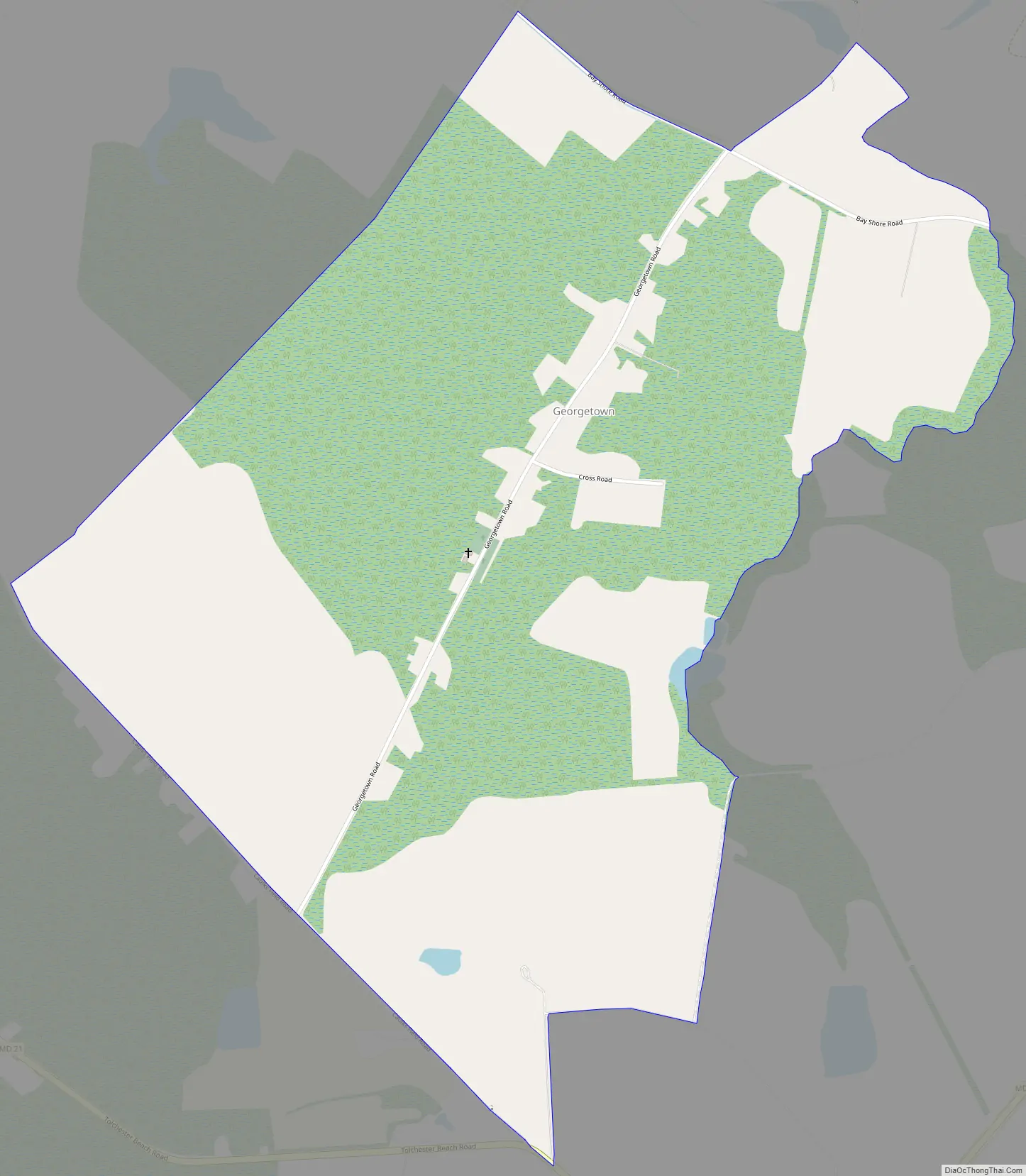
Georgetown Road Map
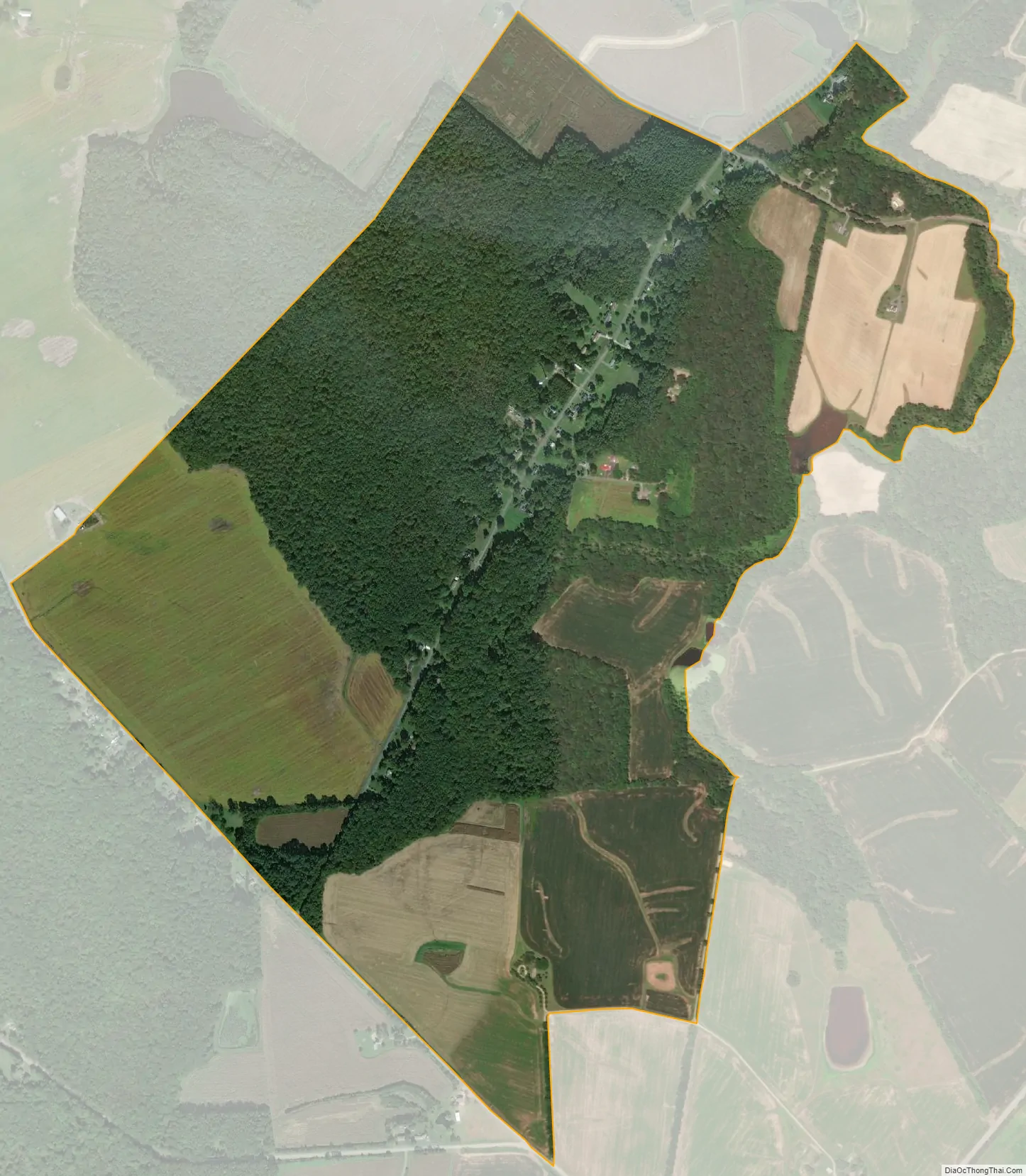
Georgetown city Satellite Map
Geography
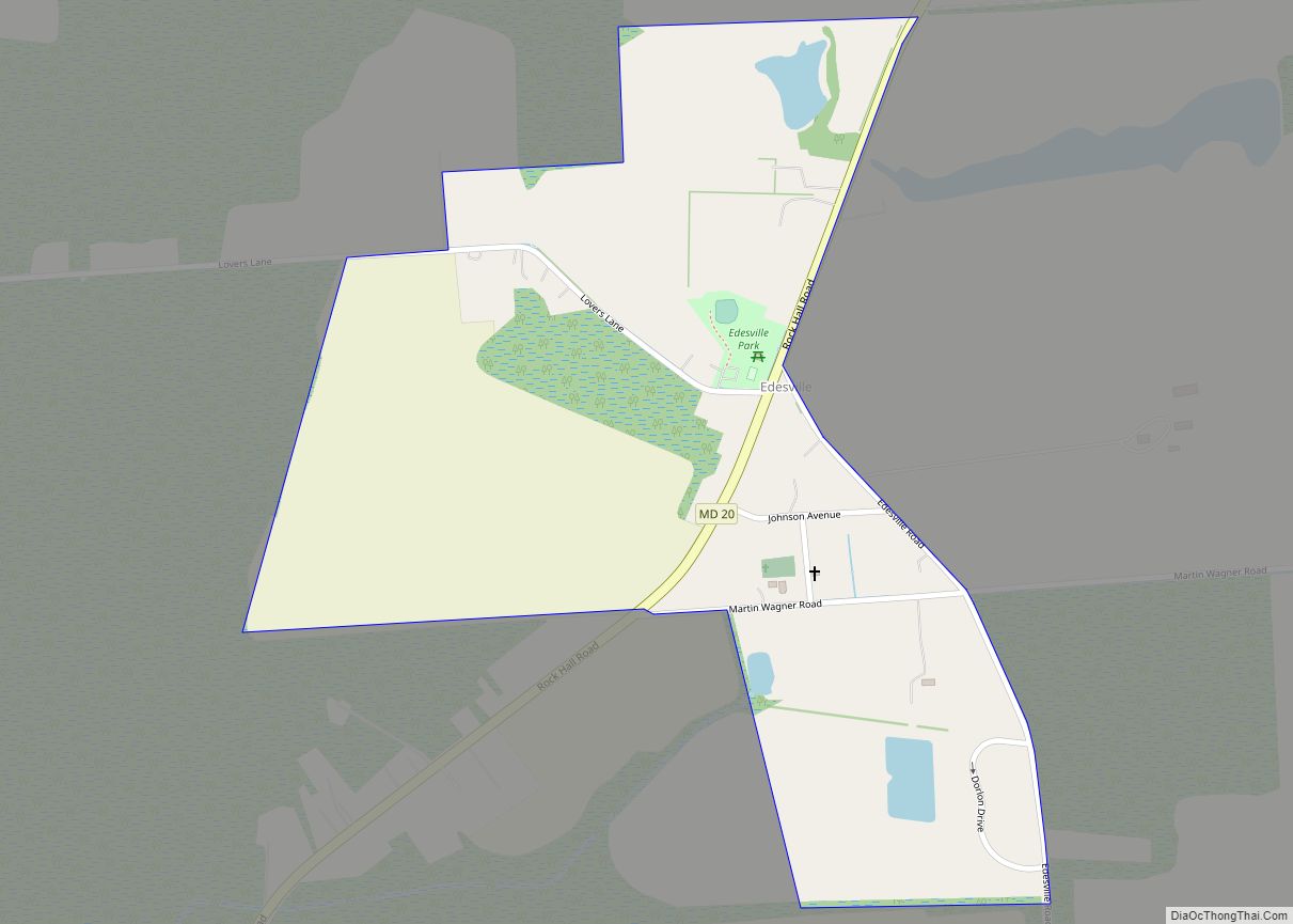
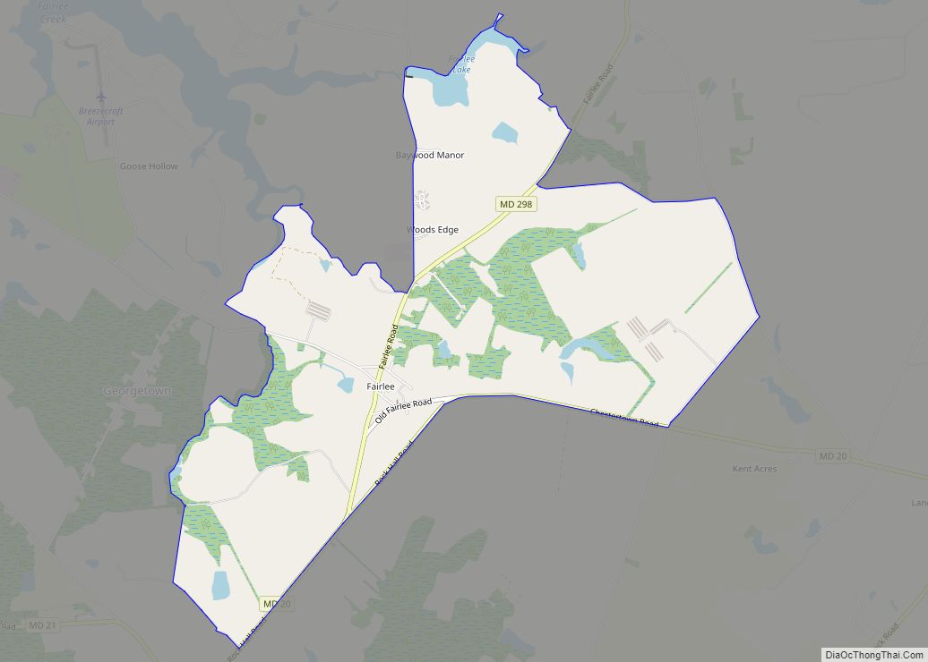
The Georgetown CDP is 7 miles (11 km) west of Chestertown, the Kent county seat. It is bordered to the east by the community of Fairlee, and Tolchester Beach on the shore of Chesapeake Bay is 2 miles (3 km) to the west.
According to the U.S. Census Bureau, the Georgetown CDP has a total area of 1.5 square miles (3.8 km), of which 0.004 square miles (0.01 km), or 0.38%, are water.
See also
Map of Maryland State and its subdivision: Map of other states:- Alabama
- Alaska
- Arizona
- Arkansas
- California
- Colorado
- Connecticut
- Delaware
- District of Columbia
- Florida
- Georgia
- Hawaii
- Idaho
- Illinois
- Indiana
- Iowa
- Kansas
- Kentucky
- Louisiana
- Maine
- Maryland
- Massachusetts
- Michigan
- Minnesota
- Mississippi
- Missouri
- Montana
- Nebraska
- Nevada
- New Hampshire
- New Jersey
- New Mexico
- New York
- North Carolina
- North Dakota
- Ohio
- Oklahoma
- Oregon
- Pennsylvania
- Rhode Island
- South Carolina
- South Dakota
- Tennessee
- Texas
- Utah
- Vermont
- Virginia
- Washington
- West Virginia
- Wisconsin
- Wyoming