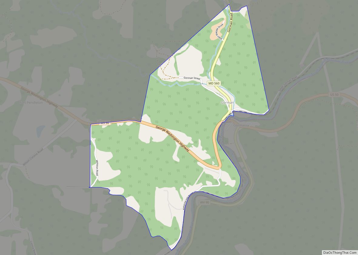
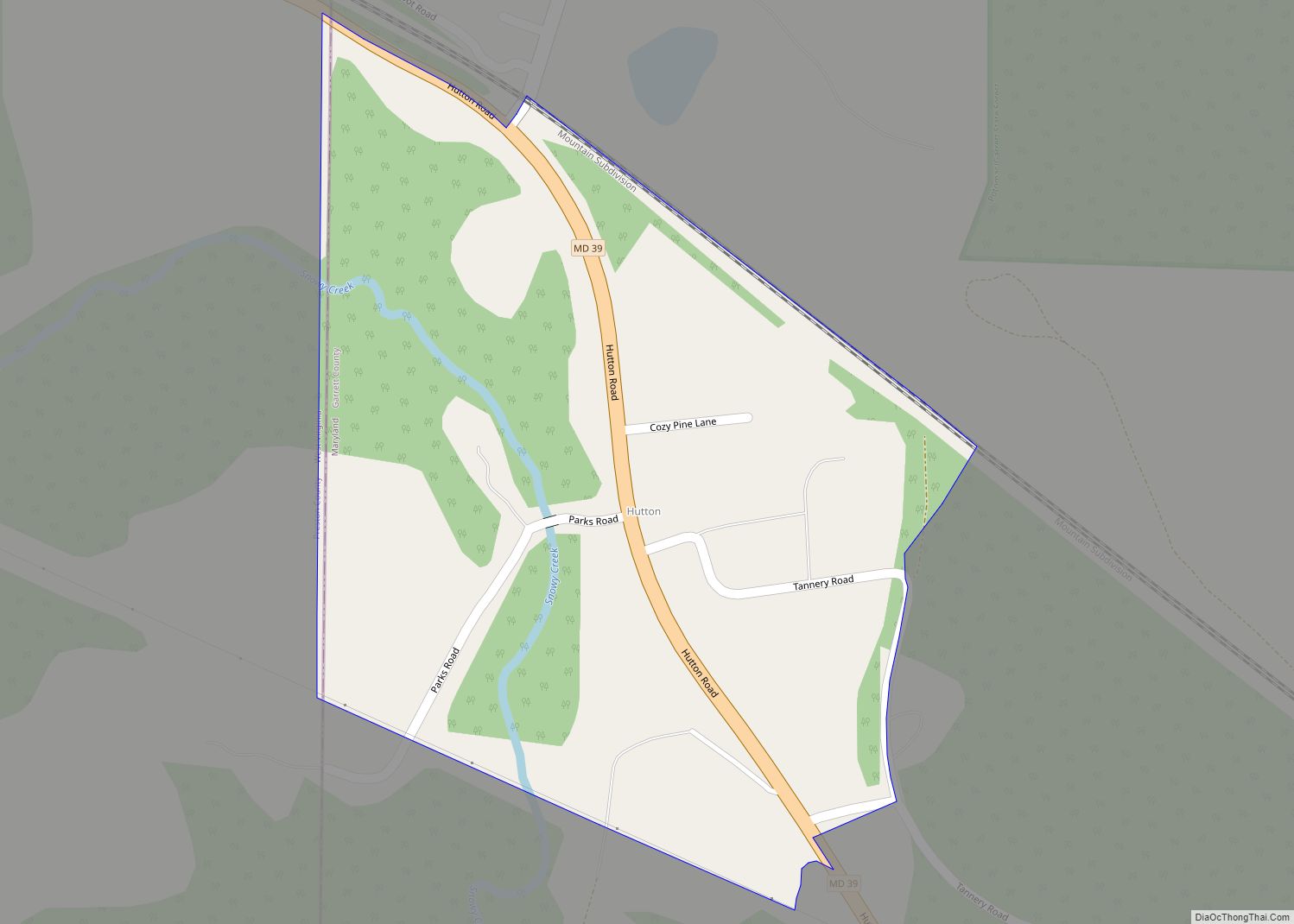
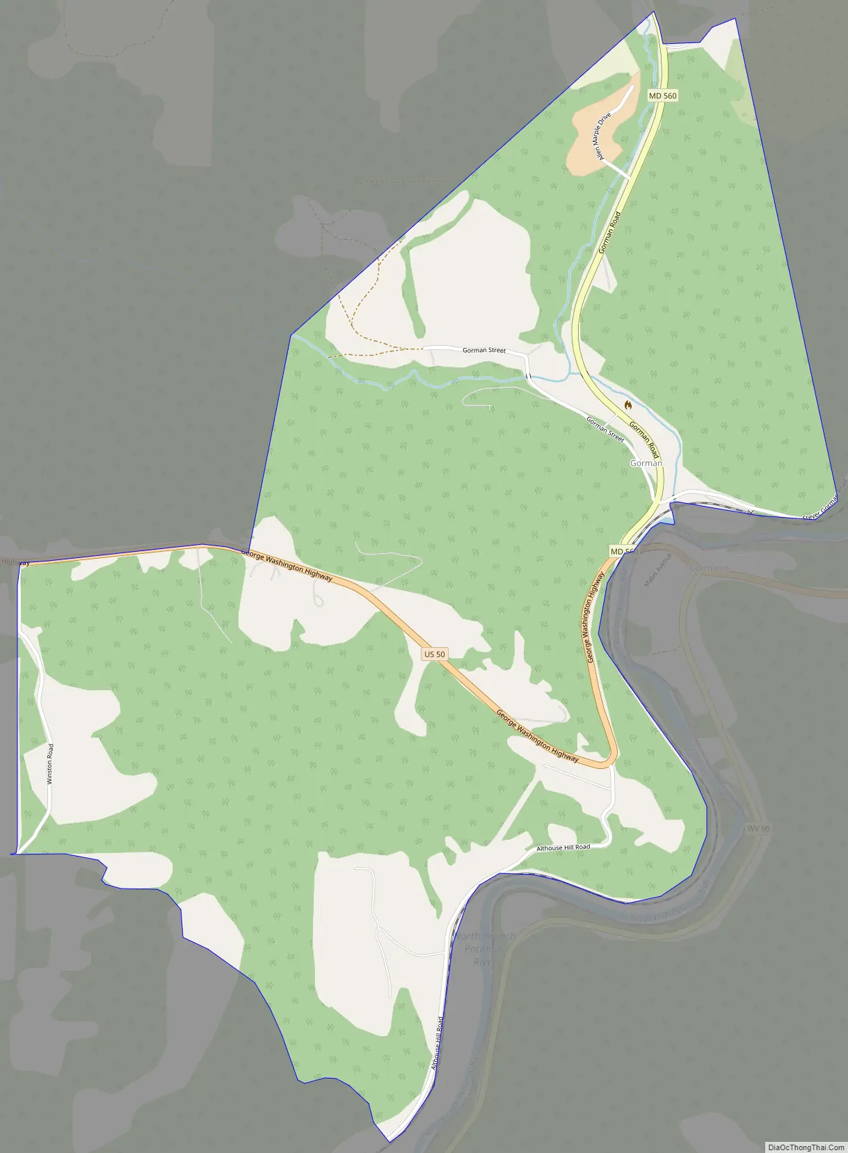
Gorman is a census-designated place (CDP) along the North Branch Potomac River in southern Garrett County, Maryland, United States. As of the 2010 census, Gorman’s population was 106. Gorman lies on Gorman Road (Maryland Route 560) off the Northwestern Turnpike (U.S. Route 50), which crosses the North Branch into Gormania, West Virginia, via Gormania Bridge. Like Gormania, the town is named for United States Senator from Maryland, Arthur Pue Gorman (March 11, 1839 – June 4, 1906).
| Name: | Gorman CDP |
|---|---|
| LSAD Code: | 57 |
| LSAD Description: | CDP (suffix) |
| State: | Maryland |
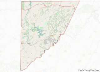
| County: | Garrett County |
| Elevation: | 2,320 ft (710 m) |
| Total Area: | 1.25 sq mi (3.25 km²) |
| Land Area: | 1.25 sq mi (3.25 km²) |
| Water Area: | 0.00 sq mi (0.00 km²) |
| Total Population: | 85 |
| Population Density: | 67.78/sq mi (26.17/km²) |
| FIPS code: | 2434150 |
| GNISfeature ID: | 590346 |
Online Interactive Map
Click on ![]() to view map in "full screen" mode.
to view map in "full screen" mode.
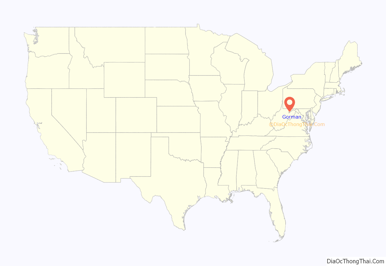
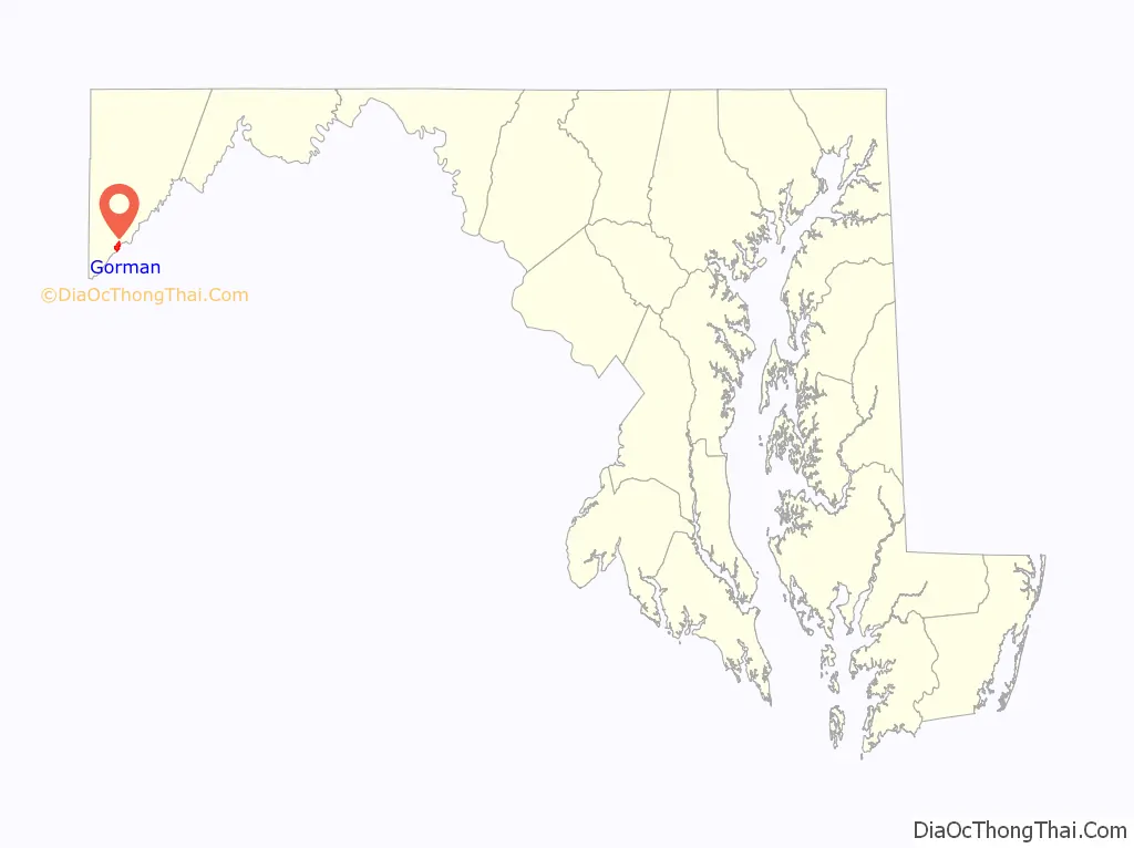
Gorman location map. Where is Gorman CDP?
Gorman Road Map
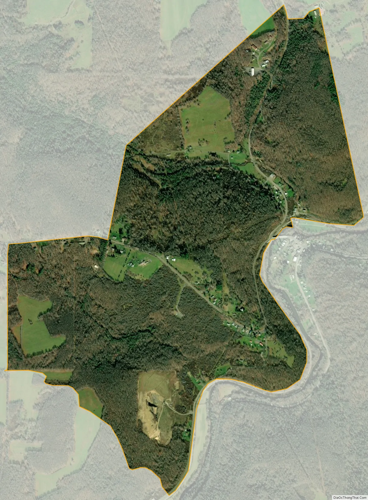
Gorman city Satellite Map
See also
Map of Maryland State and its subdivision: Map of other states:- Alabama
- Alaska
- Arizona
- Arkansas
- California
- Colorado
- Connecticut
- Delaware
- District of Columbia
- Florida
- Georgia
- Hawaii
- Idaho
- Illinois
- Indiana
- Iowa
- Kansas
- Kentucky
- Louisiana
- Maine
- Maryland
- Massachusetts
- Michigan
- Minnesota
- Mississippi
- Missouri
- Montana
- Nebraska
- Nevada
- New Hampshire
- New Jersey
- New Mexico
- New York
- North Carolina
- North Dakota
- Ohio
- Oklahoma
- Oregon
- Pennsylvania
- Rhode Island
- South Carolina
- South Dakota
- Tennessee
- Texas
- Utah
- Vermont
- Virginia
- Washington
- West Virginia
- Wisconsin
- Wyoming