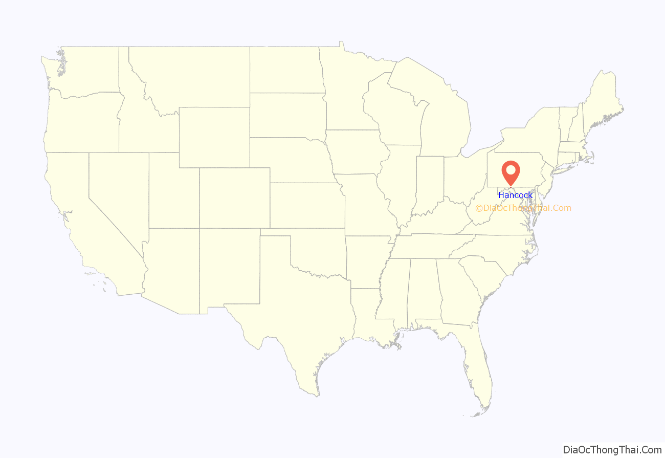
Hancock is a town in Washington County, Maryland, United States. The population was 1,557 at the 2020 census. The Western Maryland community is notable for being located at the narrowest part of the state. The north–south distance from the Pennsylvania state line to the West Virginia state line is only 1.8 miles (2.9 km) at Hancock.
| Name: | Hancock town |
|---|---|
| LSAD Code: | 43 |
| LSAD Description: | town (suffix) |
| State: | Maryland |
| County: | Washington County |
| Incorporated: | 1853 |
| Elevation: | 440 ft (134 m) |
| Total Area: | 3.00 sq mi (7.78 km²) |
| Land Area: | 2.98 sq mi (7.73 km²) |
| Water Area: | 0.02 sq mi (0.05 km²) |
| Total Population: | 1,557 |
| Population Density: | 521.96/sq mi (201.50/km²) |
| ZIP code: | 21750 |
| Area code: | 301, 240 |
| FIPS code: | 2436600 |
| GNISfeature ID: | 0584850 |
| Website: | townofhancock.org |
Online Interactive Map
Click on ![]() to view map in "full screen" mode.
to view map in "full screen" mode.
Hancock location map. Where is Hancock town?

History
The name Hancock comes from Edward Joseph Hancock, Jr., who fought alongside George Washington during the American Revolutionary War. Individuals began settling in the area of modern-day Hancock during the 1730s. During the Civil War, on January 5, 1862, General Stonewall Jackson began the siege of the town, but did not succeed due to weather conditions.
Hancock Road Map

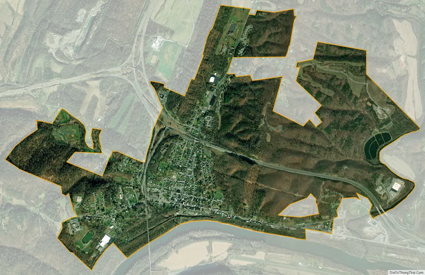
Hancock city Satellite Map
Geography
Hancock is located at 39°42′7″N 78°10′51″W / 39.70194°N 78.18083°W / 39.70194; -78.18083.
According to the United States Census Bureau, the town has a total area of 2.75 square miles (7.12 km), of which 2.73 square miles (7.07 km) is land and 0.02 square miles (0.05 km) is water.
The state of Maryland narrows to a width of less than two miles (3 km) in the Hancock area—the smallest non-vertex border-to-border distance of any U.S. state.
The Chesapeake & Ohio Canal passes through the town, and the Western Maryland Rail Trail connects Hancock with Fort Frederick State Park.
Climate
The climate in this area is characterized by hot, humid summers and generally mild to cool winters. According to the Köppen Climate Classification system, Hancock has a humid subtropical climate, abbreviated “Cfa” on climate maps.
See also
Map of Maryland State and its subdivision: Map of other states:- Alabama
- Alaska
- Arizona
- Arkansas
- California
- Colorado
- Connecticut
- Delaware
- District of Columbia
- Florida
- Georgia
- Hawaii
- Idaho
- Illinois
- Indiana
- Iowa
- Kansas
- Kentucky
- Louisiana
- Maine
- Maryland
- Massachusetts
- Michigan
- Minnesota
- Mississippi
- Missouri
- Montana
- Nebraska
- Nevada
- New Hampshire
- New Jersey
- New Mexico
- New York
- North Carolina
- North Dakota
- Ohio
- Oklahoma
- Oregon
- Pennsylvania
- Rhode Island
- South Carolina
- South Dakota
- Tennessee
- Texas
- Utah
- Vermont
- Virginia
- Washington
- West Virginia
- Wisconsin
- Wyoming


