Keedysville is a town in Washington County, Maryland, United States. The population was 1,152 at the 2010 census.
| Name: | Keedysville town |
|---|---|
| LSAD Code: | 43 |
| LSAD Description: | town (suffix) |
| State: | Maryland |
| County: | Washington County |
| Incorporated: | 1872 |
| Elevation: | 394 ft (120 m) |
| Total Area: | 0.91 sq mi (2.35 km²) |
| Land Area: | 0.91 sq mi (2.35 km²) |
| Water Area: | 0.00 sq mi (0.00 km²) |
| Total Population: | 1,213 |
| Population Density: | 1,337.38/sq mi (516.60/km²) |
| ZIP code: | 21756 |
| Area code: | 301, 240 |
| FIPS code: | 2443100 |
| GNISfeature ID: | 0585283 |
| Website: | http://www.keedysvillemd.com/ |
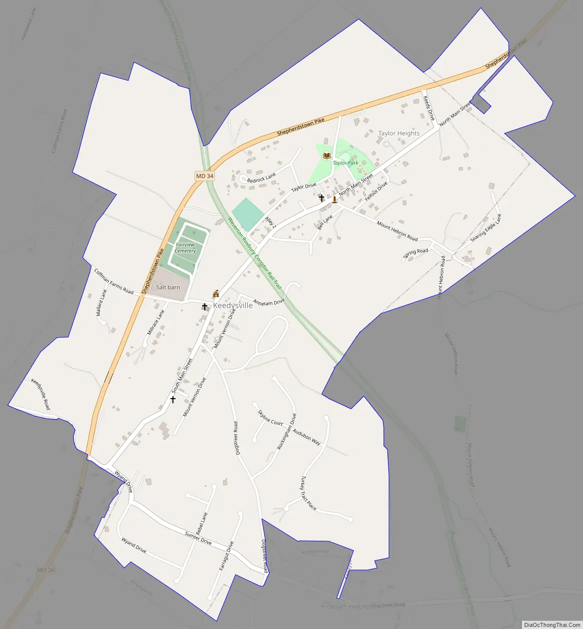
Online Interactive Map
Click on ![]() to view map in "full screen" mode.
to view map in "full screen" mode.
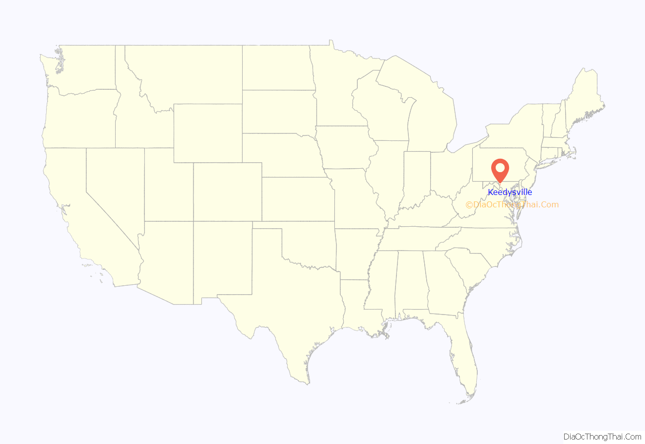
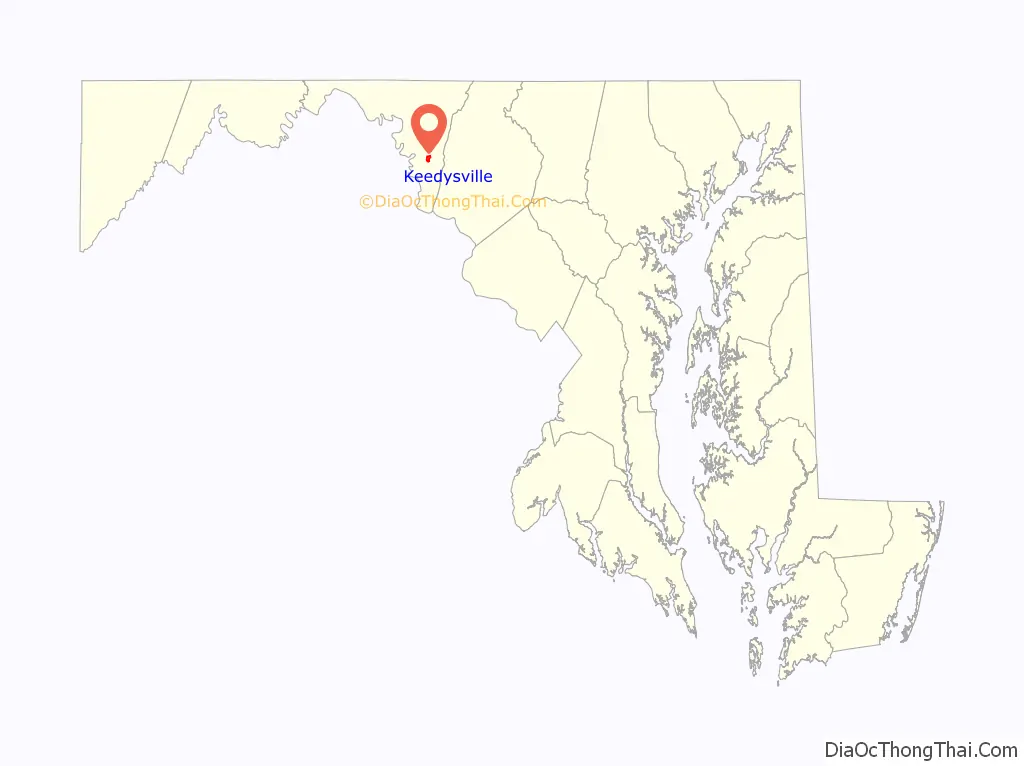
Keedysville location map. Where is Keedysville town?
History
The first documented house in Keedysville was built in 1738. The description for George Gordon’s “Gordon’s Purchase” land tract notes “…one log house, 12 x 15 feet…” The initial warrant for the tract had been issued to Owen McDonald in Jan. 1738, the year before Gordon acquired it. Gordon’s Purchase was the first tract taken up by a Euromerican within what would eventually become Keedysville. The main road at that time was the Conococheague Road, which branched from the Great Wagon Road just east of Keedysville and led to the farthest reaches of the provence, passing through what would eventually be Keedysville. The house and its exact location are unknown but the starting point for Gordon’s Purchase was on today’s Bell Lane. As more settlers moved into the region a grist mill was built on Little Antietam Creek about 1765 to serve the earliest farmers who were mostly German and Swiss immigrants who’d migrated from Pennsylvania. This mill was bought by Jacob Hess in 1770. Hess owned the mill and most of what would become the town until his death in 1815. During this period the budding community became known as “Hess’s Mill.” In the years immediately following Jacob Hess’s death the Sharpsburg to Boonsboro Turnpike was constructed (about 1820), which became Keedysville’s main street. Due to its location exactly half-way between Boonsboro and Sharpsburg the town became known as Centerville. The town’s name officially became Keedysville when the first post office was established due to the existence of another Centerville, Maryland in Queen Anne’s County. In the mid-1860s the B&O Railroad began acquiring a right-of-way and by the early 1870s a branch line extended from Weverton to Hagerstown with a busy Keedysville depot as the mid-way point. The railroad brought a much needed prosperity following the dark days of the civil war. In 1872 Keedysville was officially chartered as a municipality. Keedysville was home to numerous businesses through the first half of the 1900s but the commercial nature of the town had begun to decline by the century’s second decade. Like most small towns, the advent of the automobile and mechanization brought a gradual change as larger stores and factories became easily accessible and previously plentiful manual labor jobs decreased. Keedysville remained almost unchanged otherwise for much of the 20th century, retaining its small-town appeal. By the beginning of the 21st century that small-town feel became increasingly attractive. Several additions to the town were planned by the turn of the century and the population which had previously hovered around 400 for many years, suddenly swelled to more than double that number in a single decade. Keedysville has a long and storied past, but even at twice its size, it retains that small-town flavor.
An alternate, popular history credits Jacob Hess as the first settler, who then builds a mill forming the nucleus for the town. As shown above, settlement began in the 1730s. Jacob Hess did not arrive in the area until approximately 1760 with the Christian Orndorff family. He is noted at that time as “a German youth.” This narrative, claiming construction of the mill complex in 1768 may stem from Hess’ first land tract “Hess’ Discovery,” patented that year. The mill however was on the tract Gordon’s Purchase, not Hess’ Discovery. Hess was, however, a prosperous businessman and community leader. As such, he remains integral to the establishment of the town.
Baltimore & Ohio Railroad Bridge, Antietam Creek, Baker Farm, Doub Farm, Geeting Farm, Hills, Dales and The Vinyard, Hitt’s Mill and Houses, Hoffman Farm, Keedysville Historic District, and Nicodemus Mill Complex are listed on the National Register of Historic Places.
Keedysville Road Map
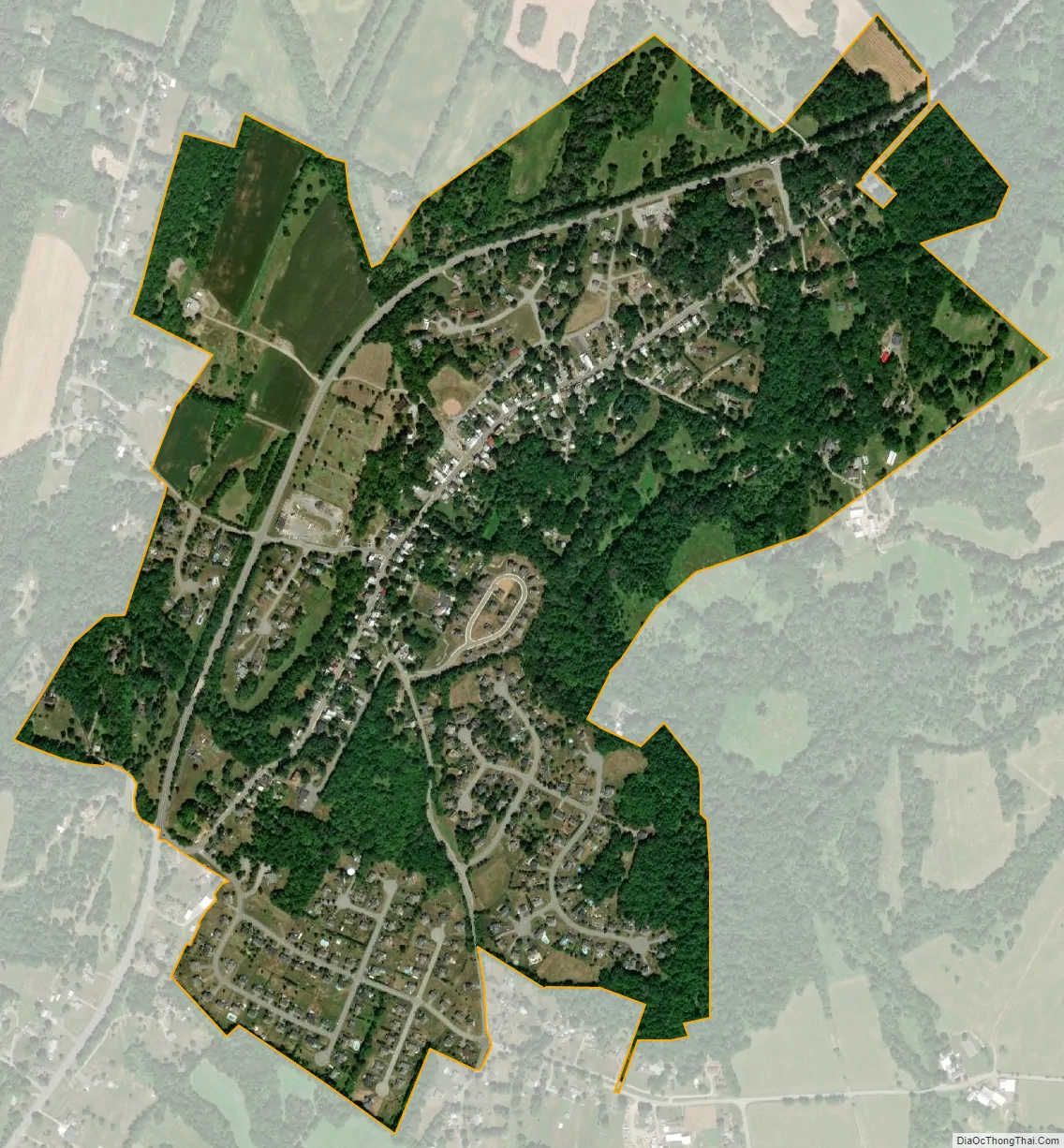
Keedysville city Satellite Map
Geography
Keedysville is located at 39°29′19″N 77°41′55″W / 39.48861°N 77.69861°W / 39.48861; -77.69861 (39.488634, -77.698488).
According to the United States Census Bureau, the town has a total area of 0.92 square miles (2.38 km), all land.
Keedysville is underlain by the Tomstown Dolomite, a carbonic rock formation of the Cambrian. The Tomstown is known for producing most of the caves in Washington County, especially in the area surrounding Keedysville. The area was once home to eight different caves, several of which were discovered during quarrying operations to remove rock for highway construction. The most famous of these caves, Crystal Grottoes, was discovered in 1920 and is now the only show-cave in Maryland.
The high concentration of caves in this area may be related to increased drainage of groundwater. The water table in this locality is drained by the Little Antietam Creek and its tributaries, and many of these caves can be found in the cliffs and along the broken plateau east of town.
Climate
The climate in this area is characterized by hot, humid summers and generally mild to cool winters. According to the Köppen Climate Classification system, Keedysville has a humid subtropical climate, abbreviated “Cfa” on climate maps.
See also
Map of Maryland State and its subdivision: Map of other states:- Alabama
- Alaska
- Arizona
- Arkansas
- California
- Colorado
- Connecticut
- Delaware
- District of Columbia
- Florida
- Georgia
- Hawaii
- Idaho
- Illinois
- Indiana
- Iowa
- Kansas
- Kentucky
- Louisiana
- Maine
- Maryland
- Massachusetts
- Michigan
- Minnesota
- Mississippi
- Missouri
- Montana
- Nebraska
- Nevada
- New Hampshire
- New Jersey
- New Mexico
- New York
- North Carolina
- North Dakota
- Ohio
- Oklahoma
- Oregon
- Pennsylvania
- Rhode Island
- South Carolina
- South Dakota
- Tennessee
- Texas
- Utah
- Vermont
- Virginia
- Washington
- West Virginia
- Wisconsin
- Wyoming


