Kennedyville is an unincorporated community and census-designated place in Kent County, Maryland, United States. As of the 2010 census it had a population of 199.
Knocks Folly, Shrewsbury Church, and Woodland Hall are listed on the National Register of Historic Places.
| Name: | Kennedyville CDP |
|---|---|
| LSAD Code: | 57 |
| LSAD Description: | CDP (suffix) |
| State: | Maryland |
| County: | Kent County |
| Elevation: | 69 ft (21 m) |
| Total Area: | 0.52 sq mi (1.34 km²) |
| Land Area: | 0.51 sq mi (1.32 km²) |
| Water Area: | 0.01 sq mi (0.02 km²) |
| Total Population: | 230 |
| Population Density: | 450.10/sq mi (173.74/km²) |
| ZIP code: | 21645 |
| Area code: | 410, 443, and 667 |
| FIPS code: | 2443475 |
| GNISfeature ID: | 590588 |
Online Interactive Map
Click on ![]() to view map in "full screen" mode.
to view map in "full screen" mode.
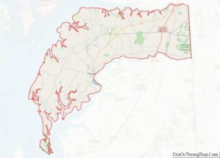
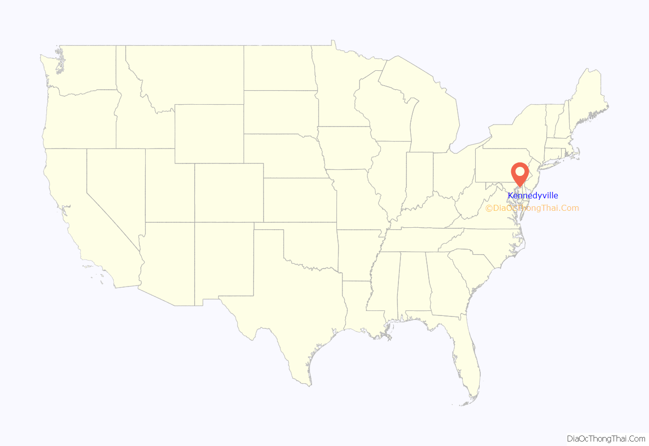
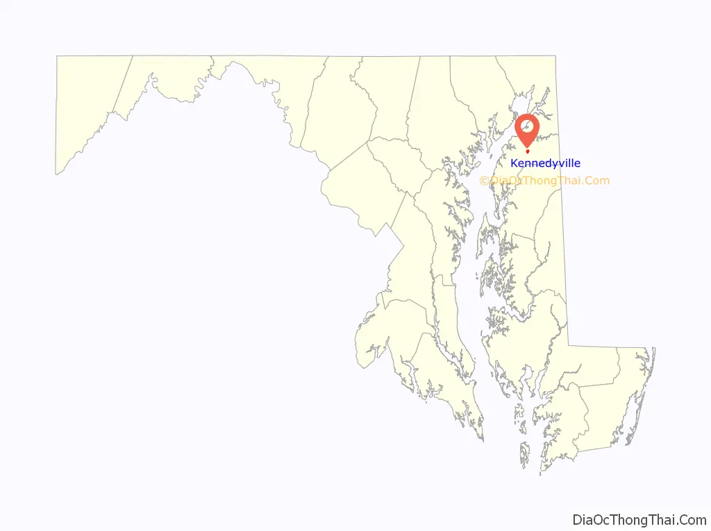
Kennedyville location map. Where is Kennedyville CDP?
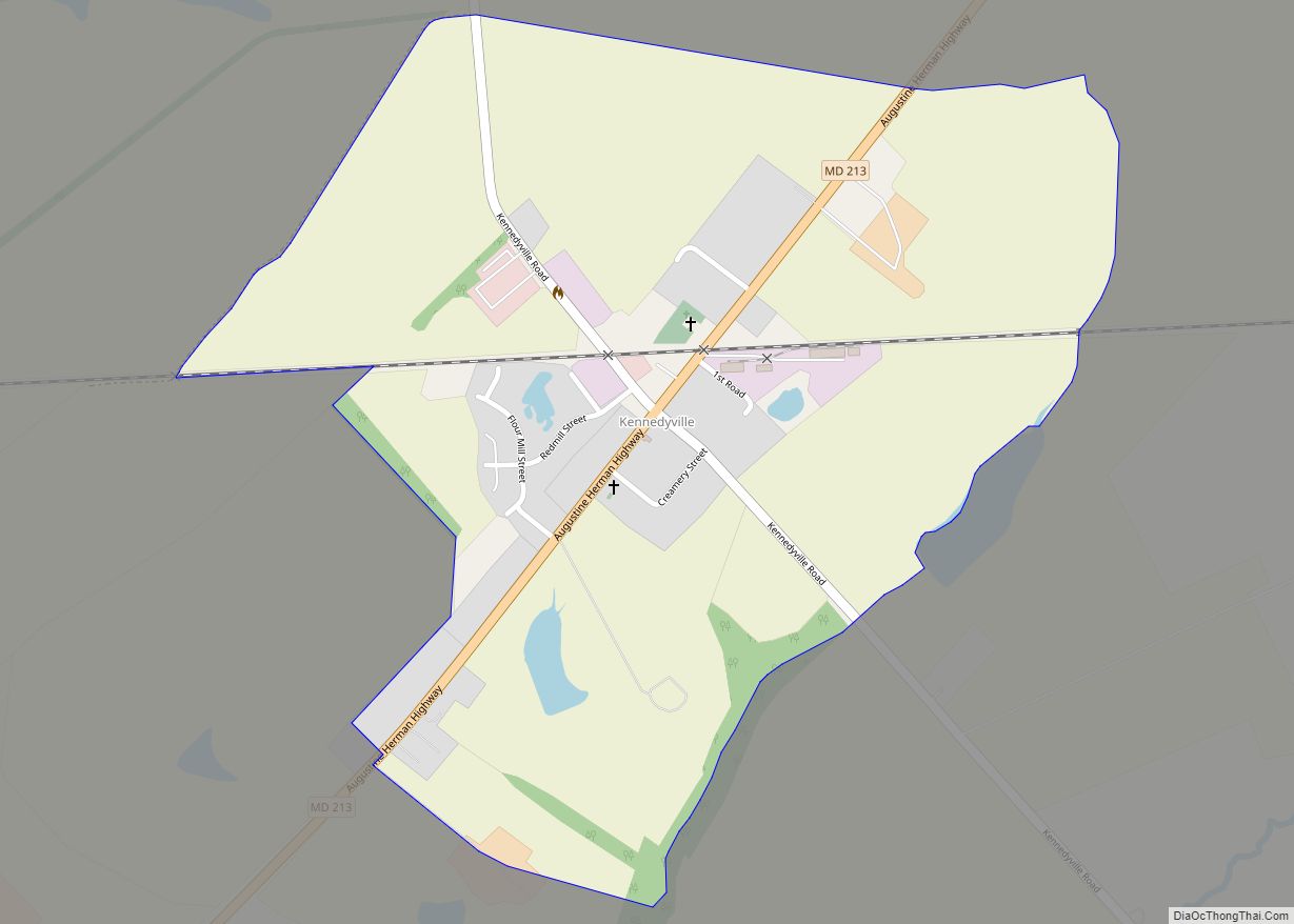
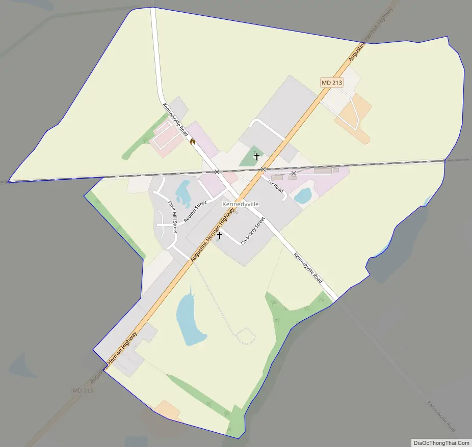
Kennedyville Road Map
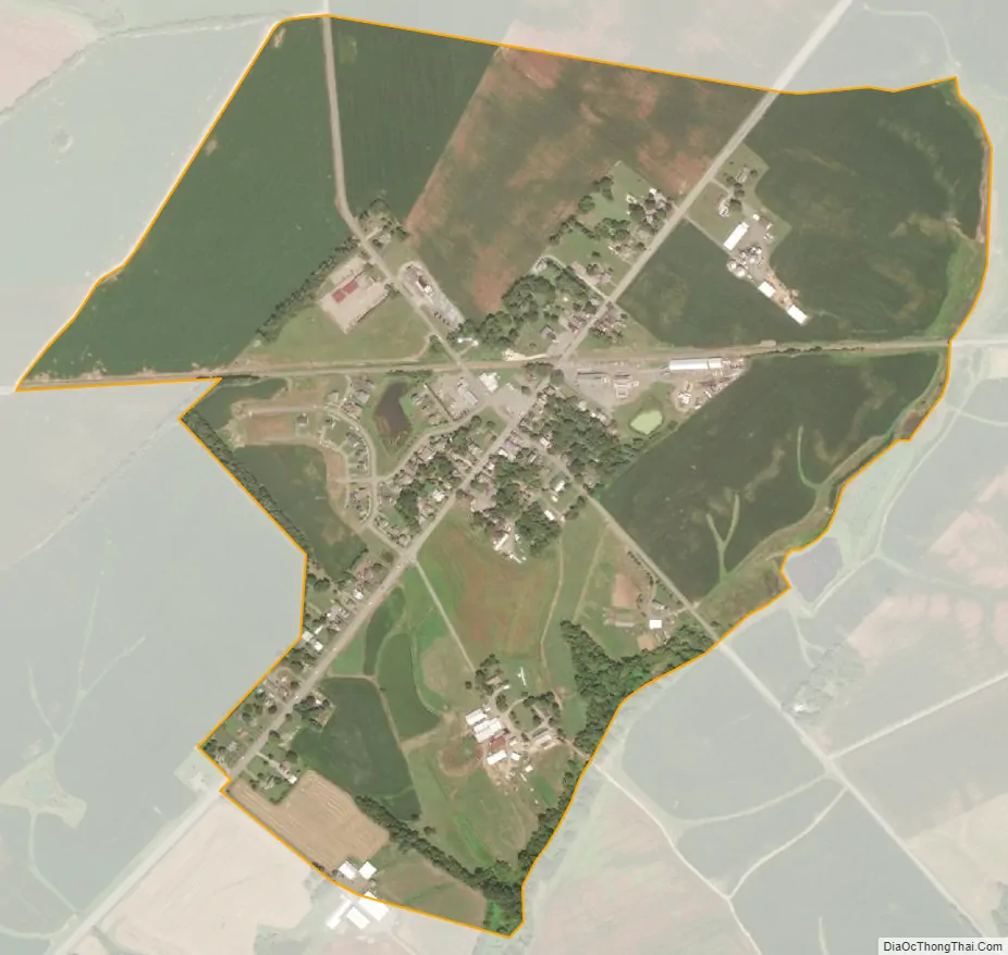
Kennedyville city Satellite Map
Geography
Kennedyville is in eastern Kent County, 7 miles (11 km) northeast of Chestertown, the county seat, and the same distance southwest of Galena, along Maryland Route 213. According to the U.S. Census Bureau, the CDP has a total area of 0.6 square miles (1.5 km), of which 0.01 square miles (0.02 km), or 1.15%, are water. The community is drained by tributaries of Morgan Creek, a south-flowing tributary of the Chester River.
See also
Map of Maryland State and its subdivision: Map of other states:- Alabama
- Alaska
- Arizona
- Arkansas
- California
- Colorado
- Connecticut
- Delaware
- District of Columbia
- Florida
- Georgia
- Hawaii
- Idaho
- Illinois
- Indiana
- Iowa
- Kansas
- Kentucky
- Louisiana
- Maine
- Maryland
- Massachusetts
- Michigan
- Minnesota
- Mississippi
- Missouri
- Montana
- Nebraska
- Nevada
- New Hampshire
- New Jersey
- New Mexico
- New York
- North Carolina
- North Dakota
- Ohio
- Oklahoma
- Oregon
- Pennsylvania
- Rhode Island
- South Carolina
- South Dakota
- Tennessee
- Texas
- Utah
- Vermont
- Virginia
- Washington
- West Virginia
- Wisconsin
- Wyoming