Kingsville is a semi-rural, unincorporated community and census-designated place in Baltimore County, Maryland, United States. It is a close-knit and rustic community bounded by the Little Gunpowder Falls river (to the northeast) and the Big Gunpowder Falls river (to the southwest) which join to form the Gunpowder River. The population of Kingsville was 4,318 at the 2010 census.
| Name: | Kingsville CDP |
|---|---|
| LSAD Code: | 57 |
| LSAD Description: | CDP (suffix) |
| State: | Maryland |
| County: | Baltimore County |
| Elevation: | 272 ft (83 m) |
| Total Area: | 10.11 sq mi (26.17 km²) |
| Land Area: | 10.04 sq mi (26.00 km²) |
| Water Area: | 0.07 sq mi (0.17 km²) |
| Total Population: | 4,358 |
| Population Density: | 434.15/sq mi (167.62/km²) |
| ZIP code: | 21087 |
| Area code: | 410 |
| FIPS code: | 2444350 |
| GNISfeature ID: | 0585320 |
Online Interactive Map
Click on ![]() to view map in "full screen" mode.
to view map in "full screen" mode.
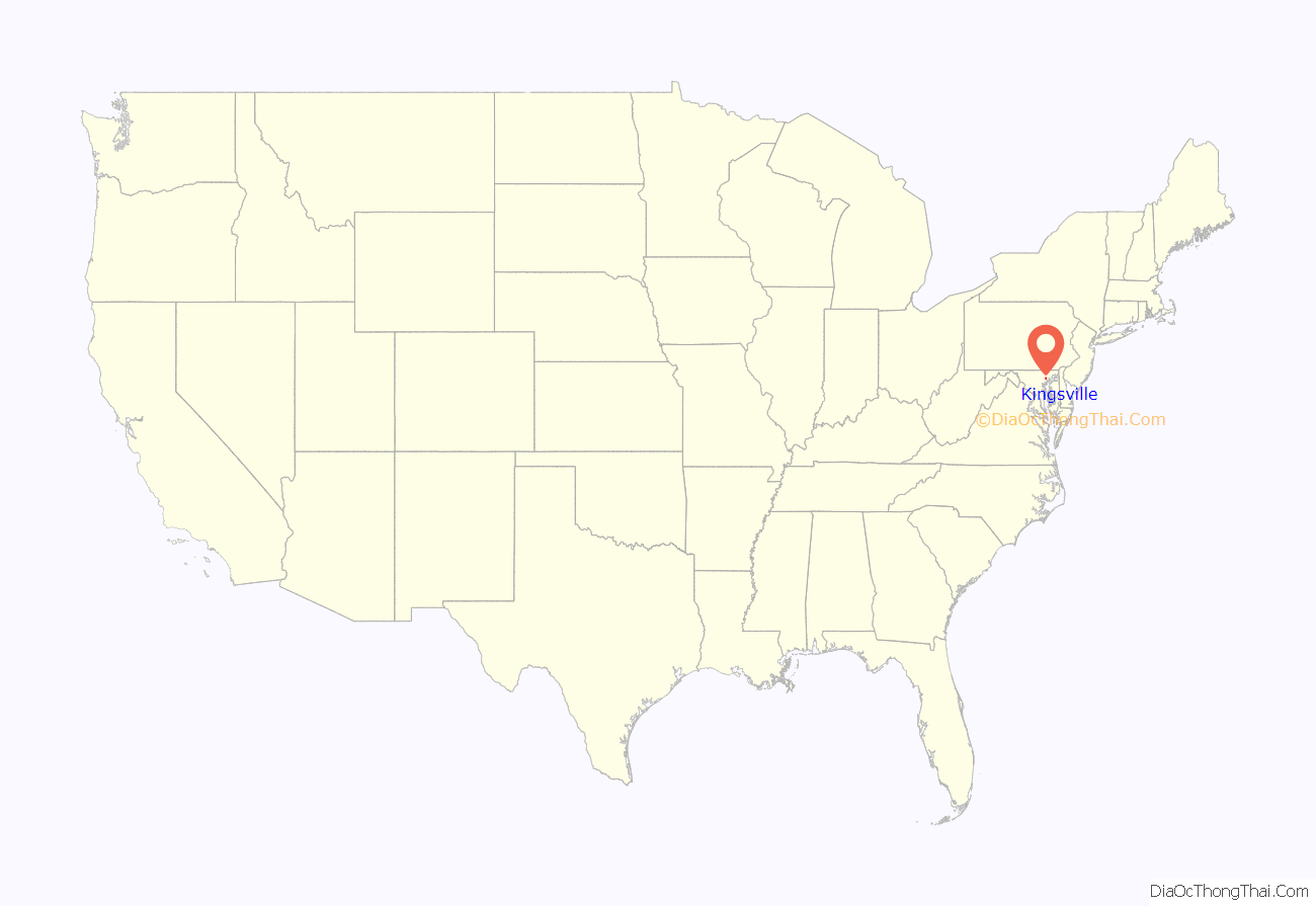
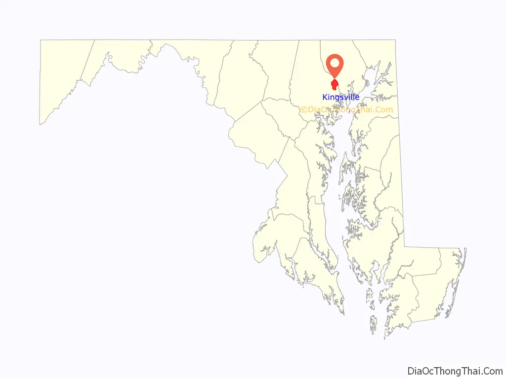
Kingsville location map. Where is Kingsville CDP?
History
Kingsville takes its name from Abraham King (1760–1836), who died there on December 15 at the age of 76. King, a native of Willistown Township, Chester County, Pennsylvania, acquired some 290 acres (1.2 km) of land from Thomas Kell (a county judge) in and about the site of Kingsville from parts of the original grants of Leaf’s Chance, William the Conqueror, Selby’s Hope, John’s Delight and Onion’s Prospect Hill, according to a deed executed May 13, 1816. King lived in the old Hugh Deane-John Paul mansion (later known as the Kingsville Inn and presently as the Lassahn Funeral home on Belair Road) with his wife Elizabeth Taylor, a sister of the Hon. John Taylor of Willistown, who settled in the West and was the Chief Judge of the Superior Court of Mississippi for a number of years. An 1823 assessment of Old District 2 showed “Abraham King with 290 acres of ‘William the Conqueror’ and $350 worth of improvements, no slaves.”
The King family operated a tavern according to an 1847 advertisement in American Farmer (a pioneer agricultural journal) at the forks of Bel Air and Joppa (presumably present day Jerusalem) roads. U.S. postal records indicate that a post office was established at King’s Tavern on January 29, 1829, with a George King noted as the postmaster; the office was named “Kingsville” on January 8, 1830. In 1840, State Geologist John Henry Alexander was the first to put Kingsville on a map.
Kingsville is bordered by the restored Jerusalem Mill Village museum, Jericho Farm, and the renovated Jericho Covered Bridge on the banks of the Little Gunpowder Falls. They are listed on the National Register of Historic Places.
Other nearby communities include Upper Falls, Bradshaw, Franklinville, Joppa, Fork and Perry Hall.
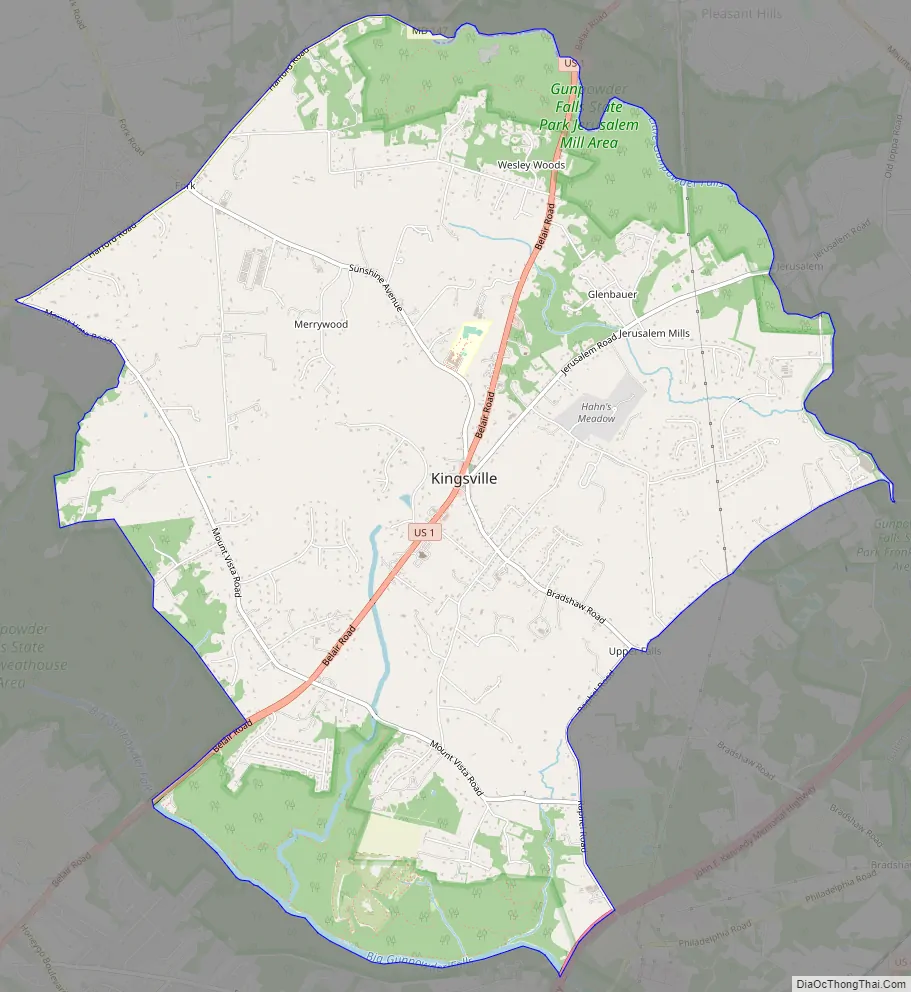
Kingsville Road Map
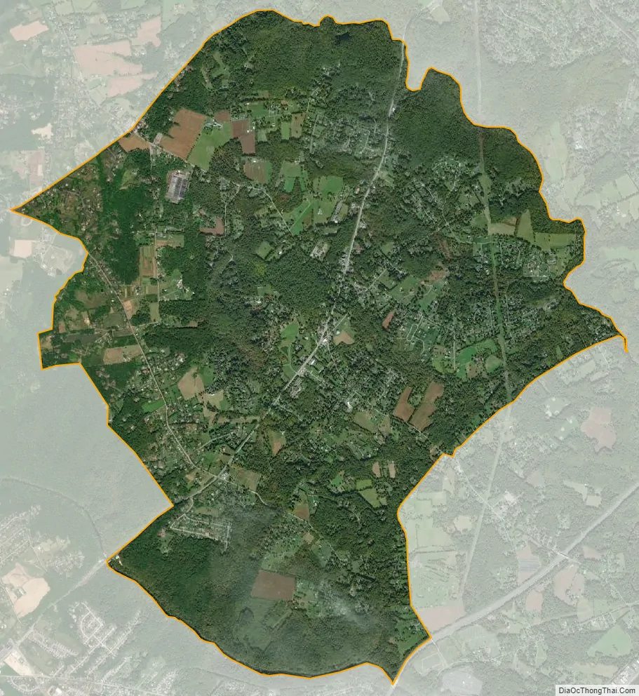
Kingsville city Satellite Map
Geography
Kingsville is located at 39°26′57″N 76°24′50″W / 39.44917°N 76.41389°W / 39.44917; -76.41389 (39.449257, −76.413933).
According to the United States Census Bureau, the CDP has a total area of 10.1 square miles (26 km), all land.
See also
Map of Maryland State and its subdivision: Map of other states:- Alabama
- Alaska
- Arizona
- Arkansas
- California
- Colorado
- Connecticut
- Delaware
- District of Columbia
- Florida
- Georgia
- Hawaii
- Idaho
- Illinois
- Indiana
- Iowa
- Kansas
- Kentucky
- Louisiana
- Maine
- Maryland
- Massachusetts
- Michigan
- Minnesota
- Mississippi
- Missouri
- Montana
- Nebraska
- Nevada
- New Hampshire
- New Jersey
- New Mexico
- New York
- North Carolina
- North Dakota
- Ohio
- Oklahoma
- Oregon
- Pennsylvania
- Rhode Island
- South Carolina
- South Dakota
- Tennessee
- Texas
- Utah
- Vermont
- Virginia
- Washington
- West Virginia
- Wisconsin
- Wyoming


