Lochearn is an unincorporated community and census-designated place in Baltimore County, Maryland, United States, located immediately to the west of the City of Baltimore. Per the 2020 census, the population was 25,511.
| Name: | Lochearn CDP |
|---|---|
| LSAD Code: | 57 |
| LSAD Description: | CDP (suffix) |
| State: | Maryland |
| County: | Baltimore County |
| Elevation: | 413 ft (126 m) |
| Total Area: | 5.62 sq mi (14.56 km²) |
| Land Area: | 5.59 sq mi (14.48 km²) |
| Water Area: | 0.03 sq mi (0.08 km²) |
| Total Population: | 25,511 |
| Population Density: | 4,563.69/sq mi (1,761.92/km²) |
| ZIP code: | 21207, 21208, 21215 |
| FIPS code: | 2447450 |
| GNISfeature ID: | 0590686 |
Online Interactive Map
Click on ![]() to view map in "full screen" mode.
to view map in "full screen" mode.
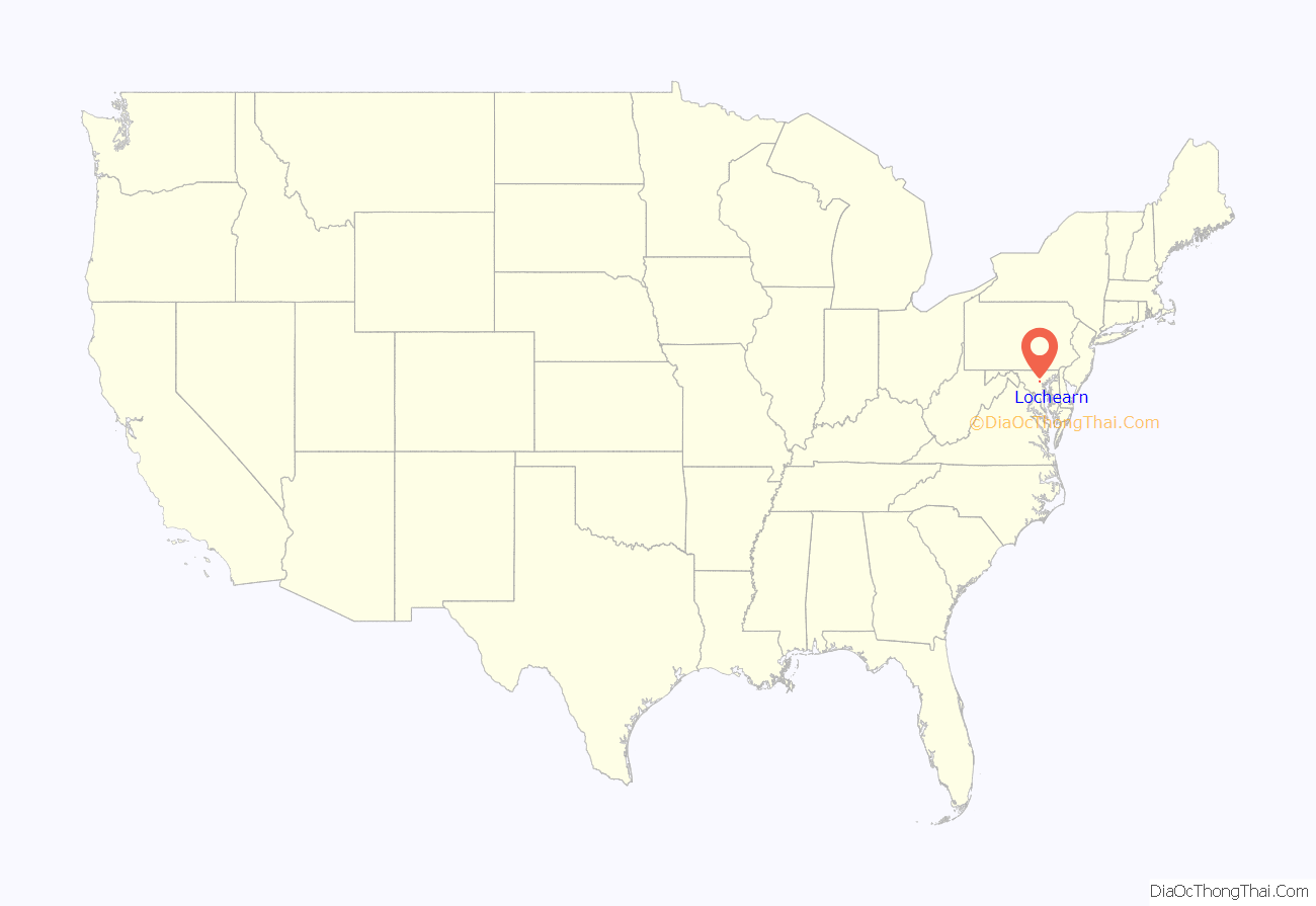
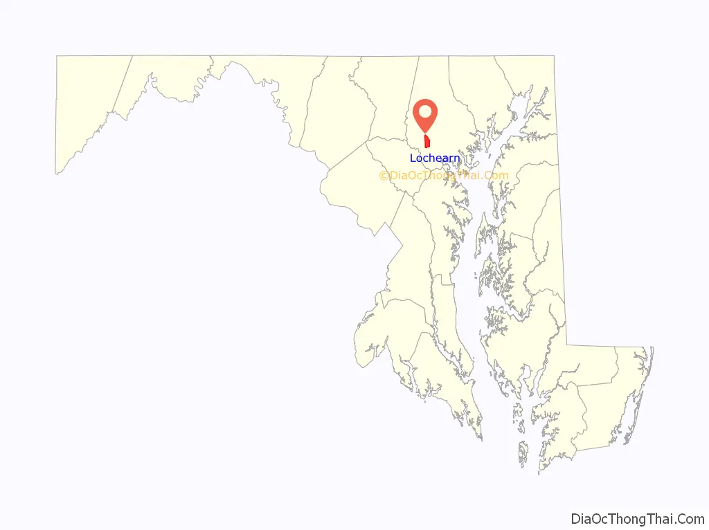
Lochearn location map. Where is Lochearn CDP?
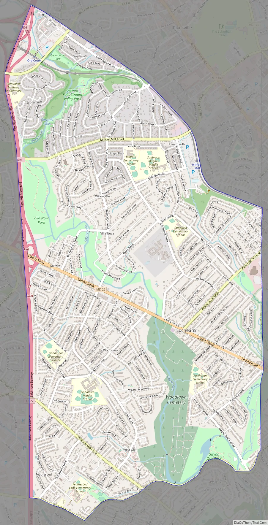
Lochearn Road Map
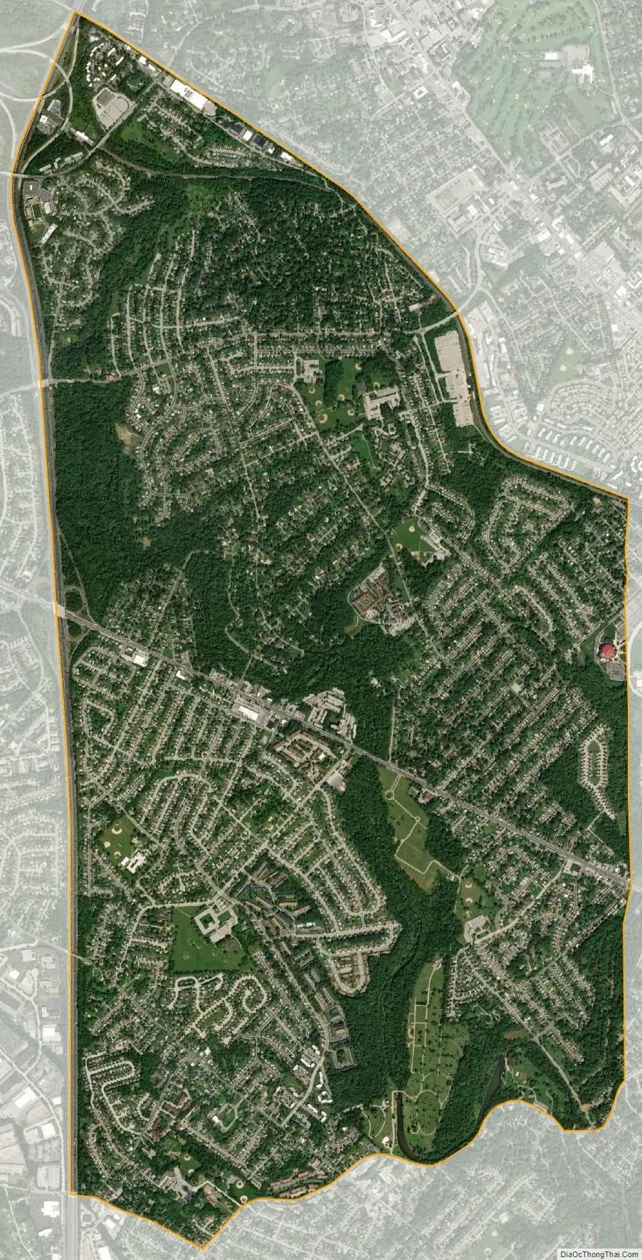
Lochearn city Satellite Map
Geography
Lochearn is bordered on the east by the Baltimore City line, on the south by Gwynn Oak Avenue, Woodlawn Drive, and Dogwood Road, on the west by the Baltimore Beltway, and on the northeast by the Baltimore Metro transit line, including the Milford Mill station. Woodmoor shopping center is located on Essex and Liberty roads.
Lochearn is located at 39°21′02″N 76°43′47″W / 39.350630°N 76.729755°W / 39.350630; -76.729755 (39.350630, −76.729755). According to the United States Census Bureau, the CDP has a total area of 5.6 square miles (15 km), of which 0.04 square miles (0.10 km), or 0.36%, is water.
Major surface thoroughfares serving Lochearn
- Essex Road
- Liberty Road (Maryland Route 26) to Liberty Heights Avenue starting after Kelox Road and Northern Parkway in Baltimore City.
- Milford Mill Road
- Patterson Avenue (Baltimore) starting in Baltimore County in Lochearn to the Baltimore City line at Alter Street to Wabash Avenue, then Reisterstown Road. (Reisterstown Plaza is on the left hand side.)
Neighborhoods within Lochearn
- Brighton (part of Brighton is in Baltimore City)
- Milford
- Villa Nova
- Campfield Gardens
- Lochearn
- Forest Gardens
- Sudbrook Park
- Willow Glen
- Williamsburg/ Park Hill
Climate
The climate in this area is characterized by hot, humid summers and generally mild to cool winters. According to the Köppen Climate Classification system, Lochearn has a humid subtropical climate, abbreviated “Cfa” on climate maps.
See also
Map of Maryland State and its subdivision: Map of other states:- Alabama
- Alaska
- Arizona
- Arkansas
- California
- Colorado
- Connecticut
- Delaware
- District of Columbia
- Florida
- Georgia
- Hawaii
- Idaho
- Illinois
- Indiana
- Iowa
- Kansas
- Kentucky
- Louisiana
- Maine
- Maryland
- Massachusetts
- Michigan
- Minnesota
- Mississippi
- Missouri
- Montana
- Nebraska
- Nevada
- New Hampshire
- New Jersey
- New Mexico
- New York
- North Carolina
- North Dakota
- Ohio
- Oklahoma
- Oregon
- Pennsylvania
- Rhode Island
- South Carolina
- South Dakota
- Tennessee
- Texas
- Utah
- Vermont
- Virginia
- Washington
- West Virginia
- Wisconsin
- Wyoming


