Madison is an unincorporated community and census-designated place (CDP) in Dorchester County, Maryland, United States. The population was 204 at the 2010 census.
| Name: | Madison CDP |
|---|---|
| LSAD Code: | 57 |
| LSAD Description: | CDP (suffix) |
| State: | Maryland |
| County: | Dorchester County |
| Elevation: | 4 ft (1 m) |
| Total Area: | 3.25 sq mi (8.40 km²) |
| Land Area: | 3.20 sq mi (8.30 km²) |
| Water Area: | 0.04 sq mi (0.11 km²) |
| Total Population: | 205 |
| Population Density: | 63.98/sq mi (24.70/km²) |
| ZIP code: | 21648, 21677 |
| Area code: | 410, 443, and 667 |
| FIPS code: | 2449700 |
| GNISfeature ID: | 585655 |
Online Interactive Map
Click on ![]() to view map in "full screen" mode.
to view map in "full screen" mode.
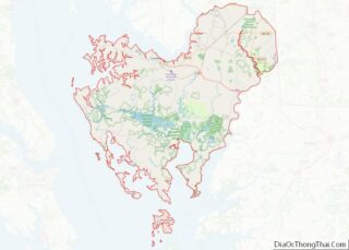
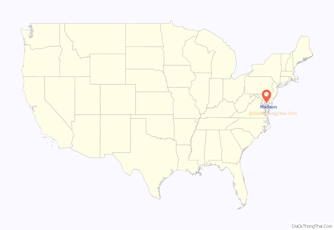
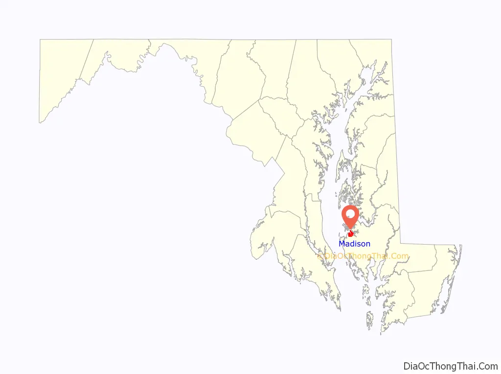
Madison location map. Where is Madison CDP?
History
In the early 19th century, the community was a hamlet known as “Tobacco Stick.” Around 1822, Harriet Tubman was born just outside the hamlet; in her youth, she lived in her father’s cabin nearby, in what is now the Blackwater National Wildlife Refuge.
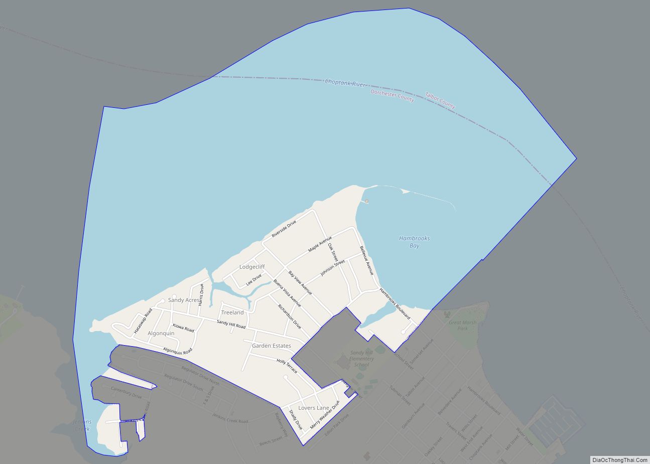
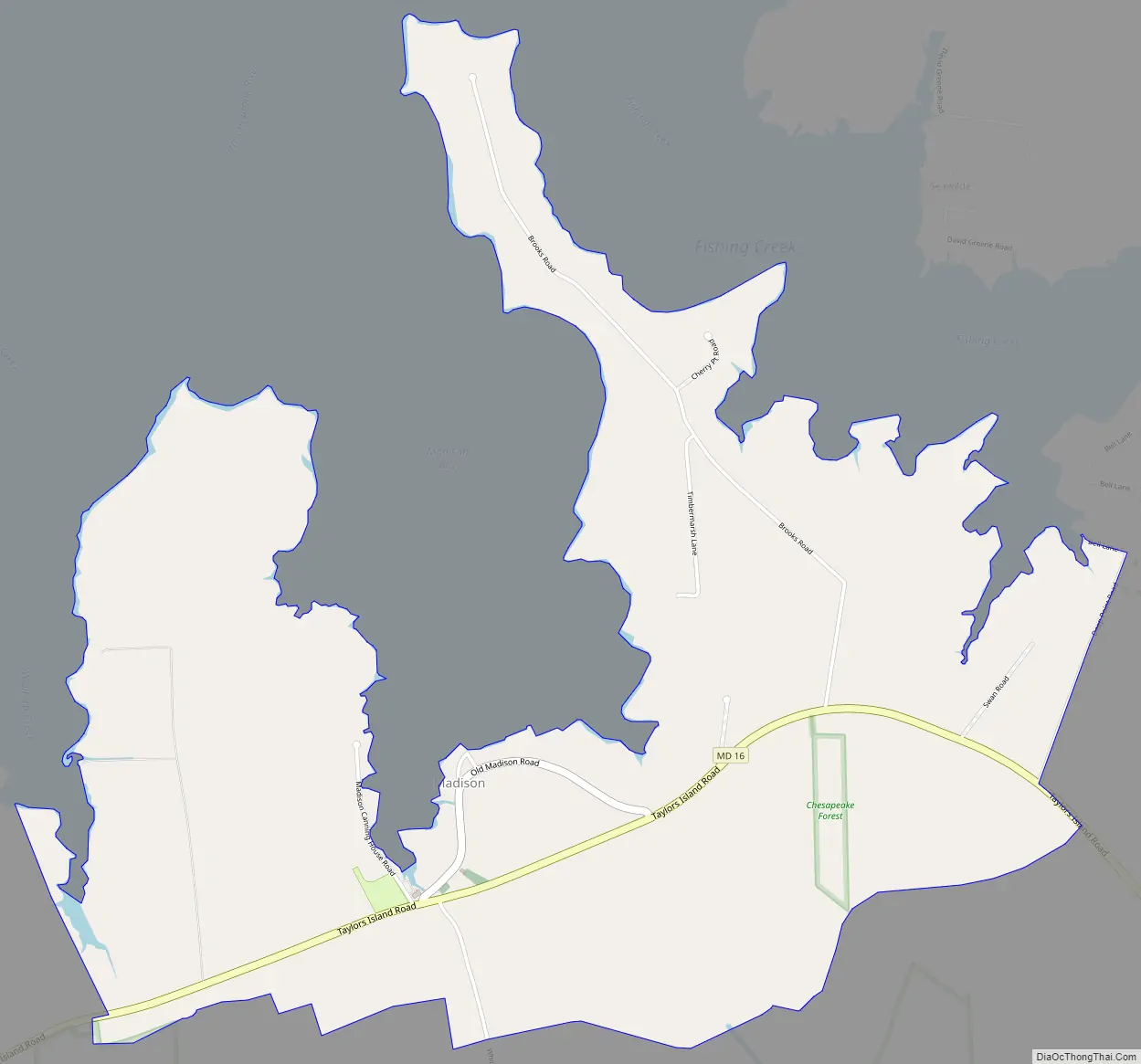
Madison Road Map
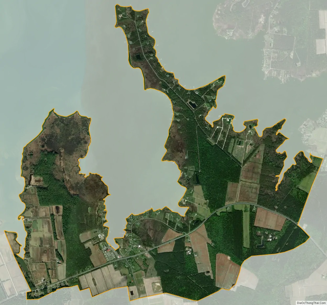
Madison city Satellite Map
Geography
Madison is located in western Dorchester County, at the south end of Madison Bay, an arm of the Little Choptank River and part of the Chesapeake Bay estuary system. Maryland Route 16 passes through the community, leading northeast 10 miles (16 km) to Cambridge, the county seat, and southwest 5 miles (8 km) to Taylors Island.
According to the United States Census Bureau, the Madison CDP has a total area of 3.2 square miles (8.4 km), of which 3.2 square miles (8.3 km) is land and 0.04 square miles (0.1 km), or 1.26%, is water.
See also
Map of Maryland State and its subdivision: Map of other states:- Alabama
- Alaska
- Arizona
- Arkansas
- California
- Colorado
- Connecticut
- Delaware
- District of Columbia
- Florida
- Georgia
- Hawaii
- Idaho
- Illinois
- Indiana
- Iowa
- Kansas
- Kentucky
- Louisiana
- Maine
- Maryland
- Massachusetts
- Michigan
- Minnesota
- Mississippi
- Missouri
- Montana
- Nebraska
- Nevada
- New Hampshire
- New Jersey
- New Mexico
- New York
- North Carolina
- North Dakota
- Ohio
- Oklahoma
- Oregon
- Pennsylvania
- Rhode Island
- South Carolina
- South Dakota
- Tennessee
- Texas
- Utah
- Vermont
- Virginia
- Washington
- West Virginia
- Wisconsin
- Wyoming