Owings Mills is an unincorporated community and census-designated place in Baltimore County, Maryland, United States. It is a suburb of Baltimore. Per the 2020 census, the population was 35,674. Owings Mills is home to the northern terminus of the Baltimore Metro Subway, and housed the Owings Mills Mall until its closure in 2015. It is also home to the Baltimore Ravens’ headquarters facility, and the studios for Maryland Public Television. In 2008, CNNMoney.com named Owings Mills number 49 of the “100 Best Places to Live and Launch”.
| Name: | Owings Mills CDP |
|---|---|
| LSAD Code: | 57 |
| LSAD Description: | CDP (suffix) |
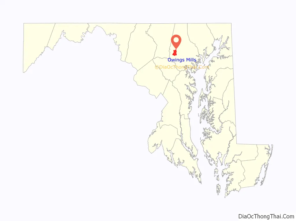
| State: | Maryland |
| County: | Baltimore County |
| Elevation: | 499 ft (152 m) |
| Total Area: | 9.57 sq mi (24.79 km²) |
| Land Area: | 9.53 sq mi (24.69 km²) |
| Water Area: | 0.04 sq mi (0.10 km²) |
| Total Population: | 35,674 |
| Population Density: | 3,742.16/sq mi (1,444.92/km²) |
| ZIP code: | 21117 |
| Area code: | 410, 443, and 667 |
| FIPS code: | 2459425 |
| GNISfeature ID: | 0586371 |
Online Interactive Map
Click on ![]() to view map in "full screen" mode.
to view map in "full screen" mode.
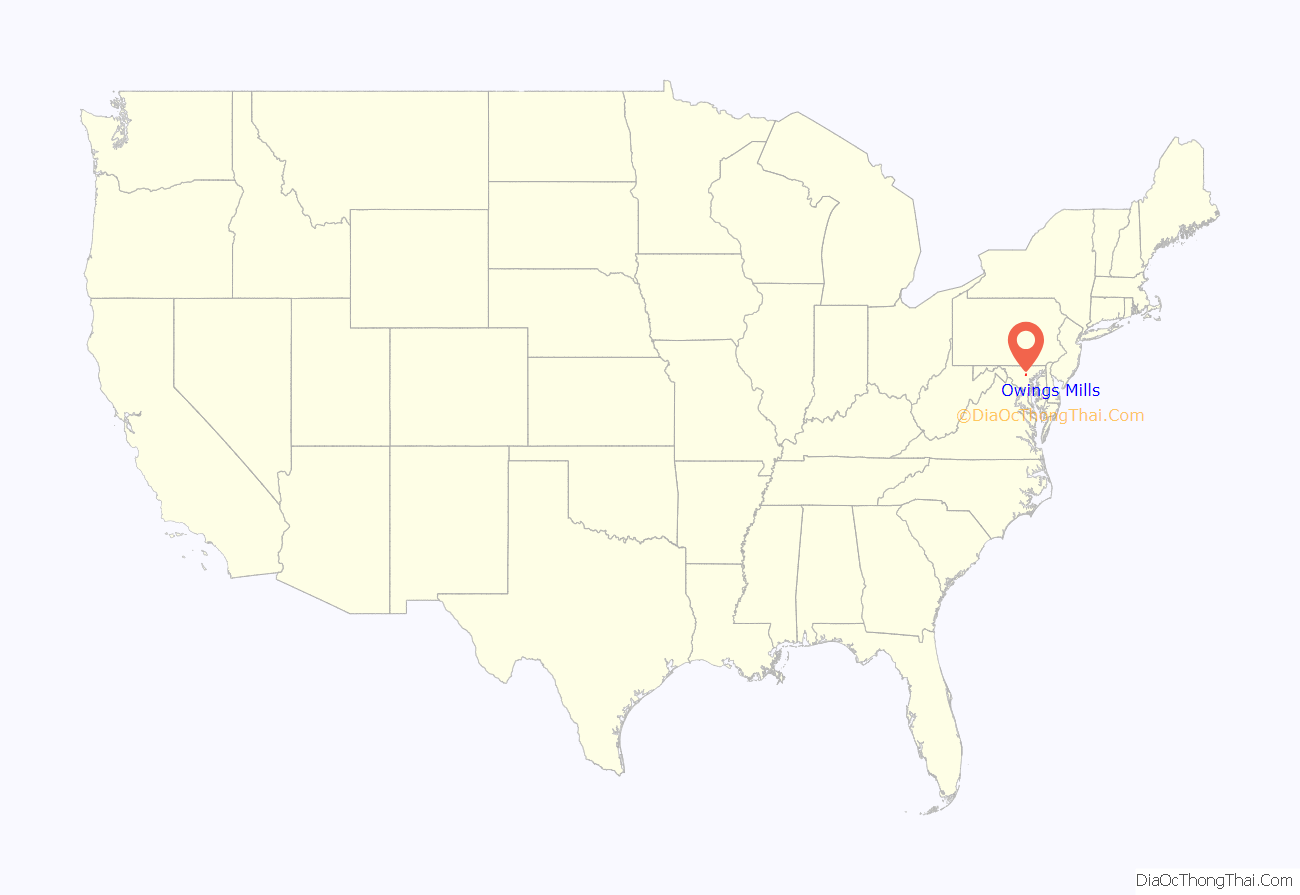
Owings Mills location map. Where is Owings Mills CDP?
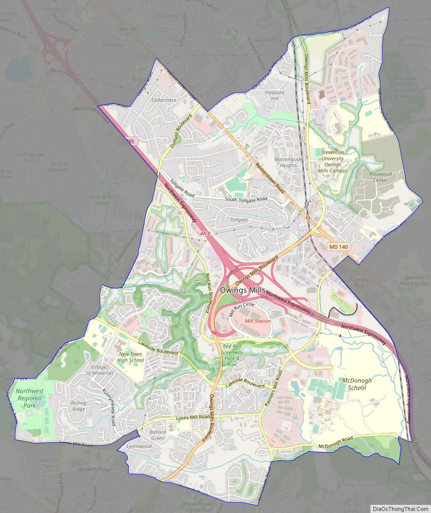
Owings Mills Road Map
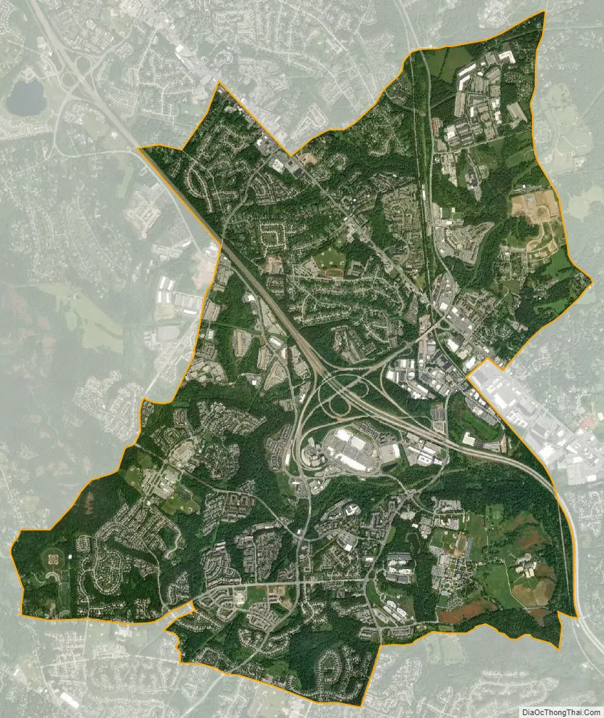
Owings Mills city Satellite Map
Geography
Owings Mills is located at 39°24′44″N 76°47′35″W / 39.41222°N 76.79306°W / 39.41222; -76.79306 (39.412282, −76.793065).
According to the United States Census Bureau, the CDP has a total area of 9.6 square miles (25 km), all land.
See also
Map of Maryland State and its subdivision: Map of other states:- Alabama
- Alaska
- Arizona
- Arkansas
- California
- Colorado
- Connecticut
- Delaware
- District of Columbia
- Florida
- Georgia
- Hawaii
- Idaho
- Illinois
- Indiana
- Iowa
- Kansas
- Kentucky
- Louisiana
- Maine
- Maryland
- Massachusetts
- Michigan
- Minnesota
- Mississippi
- Missouri
- Montana
- Nebraska
- Nevada
- New Hampshire
- New Jersey
- New Mexico
- New York
- North Carolina
- North Dakota
- Ohio
- Oklahoma
- Oregon
- Pennsylvania
- Rhode Island
- South Carolina
- South Dakota
- Tennessee
- Texas
- Utah
- Vermont
- Virginia
- Washington
- West Virginia
- Wisconsin
- Wyoming


