Pleasant Grove is a census-designated place (CDP) in Allegany County, Maryland, United States. As of the 2010 census it had a population of 353.
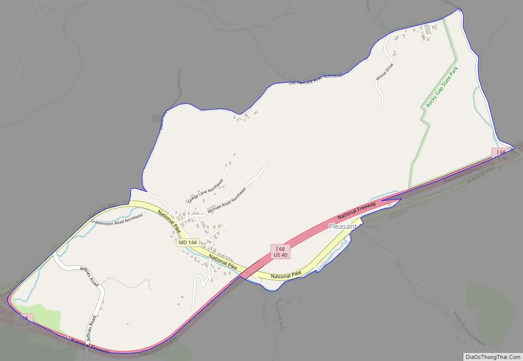
Pleasant Grove is located east of Cumberland along Maryland Route 144 (Baltimore Pike), the old alignment of U.S. Route 40. Interstate 68, the new highway alignment, also runs through the CDP, with access via Exit 47 at the western end of the community.
| Name: | Pleasant Grove CDP |
|---|---|
| LSAD Code: | 57 |
| LSAD Description: | CDP (suffix) |
| State: | Maryland |
| County: | Allegany County |
| Elevation: | 780 ft (240 m) |
| Total Area: | 1.60 sq mi (4.13 km²) |
| Land Area: | 1.60 sq mi (4.13 km²) |
| Water Area: | 0.00 sq mi (0.00 km²) |
| Total Population: | 330 |
| Population Density: | 206.77/sq mi (79.84/km²) |
| FIPS code: | 2462100 |
| GNISfeature ID: | 2583672 |
Online Interactive Map
Click on ![]() to view map in "full screen" mode.
to view map in "full screen" mode.
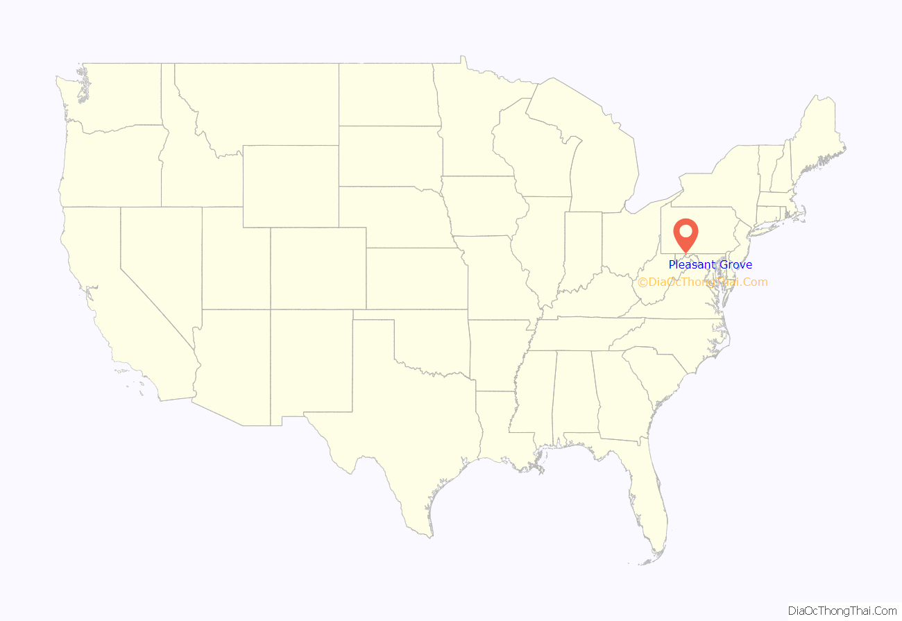
Pleasant Grove location map. Where is Pleasant Grove CDP?

Pleasant Grove Road Map
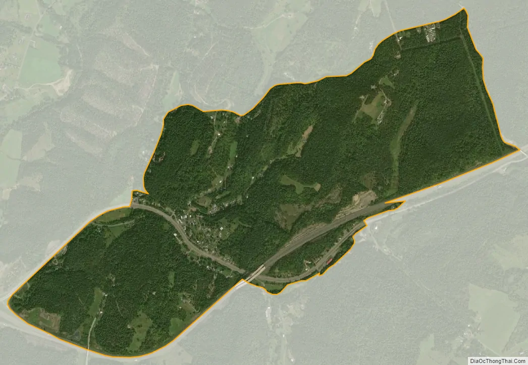
Pleasant Grove city Satellite Map
See also
Map of Maryland State and its subdivision: Map of other states:- Alabama
- Alaska
- Arizona
- Arkansas
- California
- Colorado
- Connecticut
- Delaware
- District of Columbia
- Florida
- Georgia
- Hawaii
- Idaho
- Illinois
- Indiana
- Iowa
- Kansas
- Kentucky
- Louisiana
- Maine
- Maryland
- Massachusetts
- Michigan
- Minnesota
- Mississippi
- Missouri
- Montana
- Nebraska
- Nevada
- New Hampshire
- New Jersey
- New Mexico
- New York
- North Carolina
- North Dakota
- Ohio
- Oklahoma
- Oregon
- Pennsylvania
- Rhode Island
- South Carolina
- South Dakota
- Tennessee
- Texas
- Utah
- Vermont
- Virginia
- Washington
- West Virginia
- Wisconsin
- Wyoming


