Randallstown is an unincorporated community and census-designated place in Baltimore County, Maryland, United States. It is named after Christopher and Thomas Randall, two 18th-century tavern-keepers. At that time, Randallstown was a tollgate crossroads on the Liberty Turnpike, a major east–west thoroughfare. It is a suburb of Baltimore, with a population of 33,655 as of the 2020 census. As of 2020 it was 72 percent African American. In the 1990s, Randallstown transitioned to a majority African American community.
Choate House was listed on the National Register of Historic Places in 1989.
| Name: | Randallstown CDP |
|---|---|
| LSAD Code: | 57 |
| LSAD Description: | CDP (suffix) |
| State: | Maryland |
| County: | Baltimore County |
| Elevation: | 584 ft (178 m) |
| Total Area: | 10.24 sq mi (26.51 km²) |
| Land Area: | 10.22 sq mi (26.48 km²) |
| Water Area: | 0.01 sq mi (0.04 km²) |
| Total Population: | 33,655 |
| Population Density: | 3,292.41/sq mi (1,271.20/km²) |
| ZIP code: | 21133 |
| Area code: | 410 |
| FIPS code: | 2464950 |
| GNISfeature ID: | 2389725 |
Online Interactive Map
Click on ![]() to view map in "full screen" mode.
to view map in "full screen" mode.
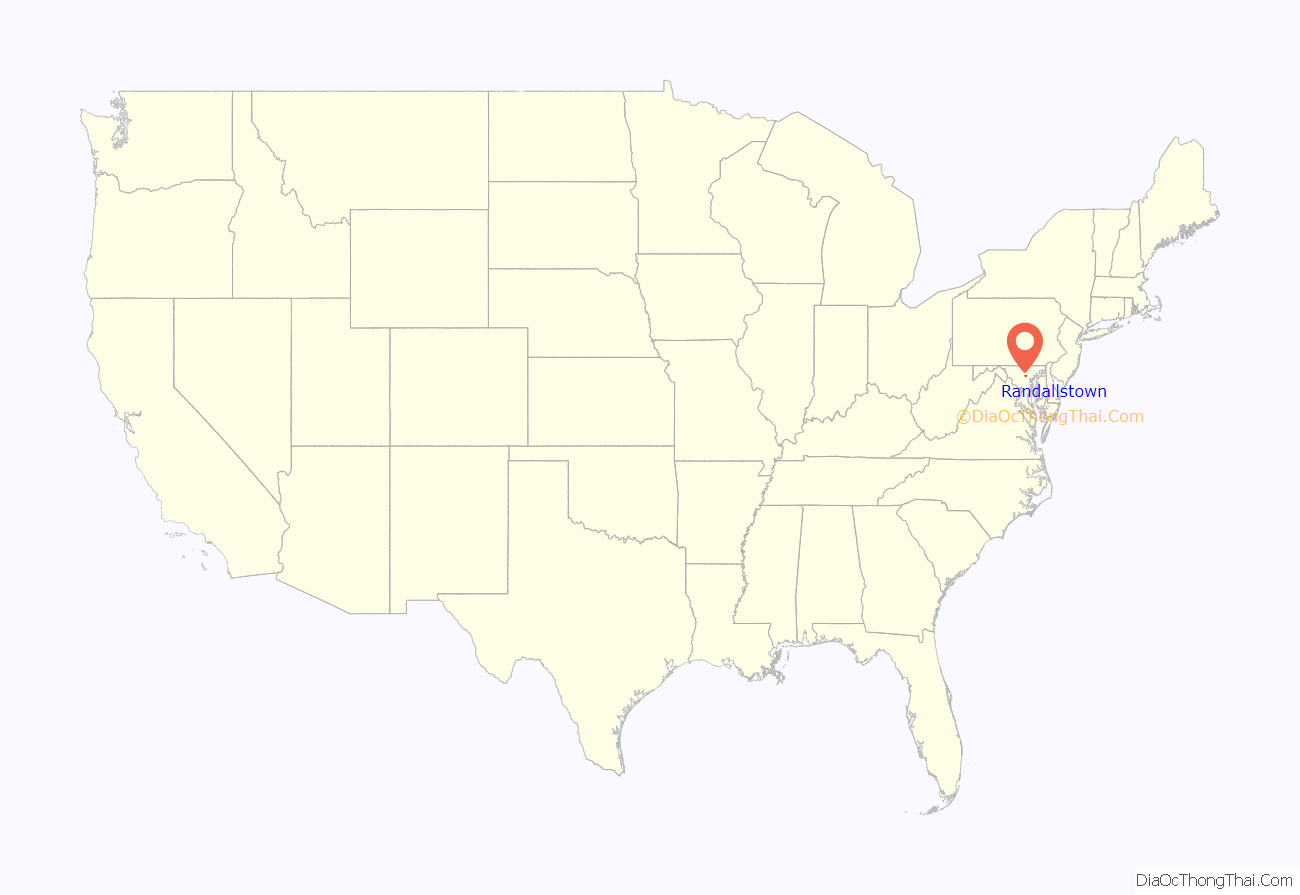
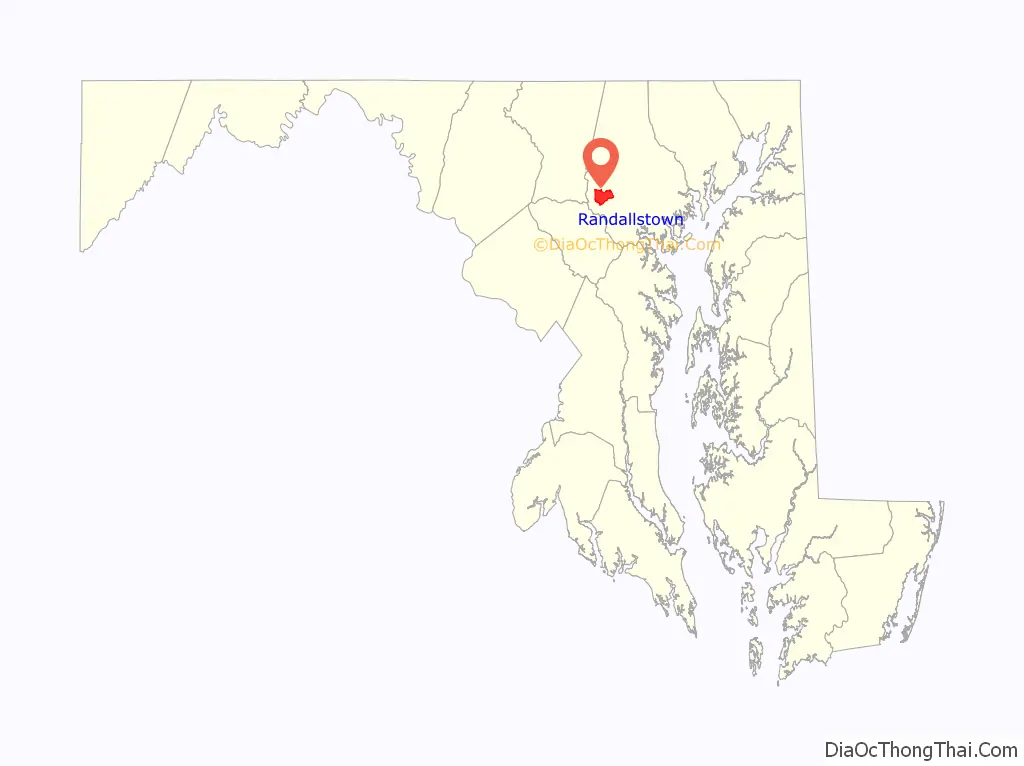
Randallstown location map. Where is Randallstown CDP?
History
Randallstown was founded in the 1700s by two brothers from England, Thomas and Christopher Randall. They introduced a tavern on Liberty Road serving travelers. In 1880, Randallstown had a population of 100.
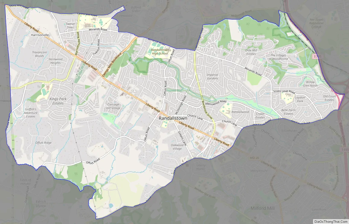
Randallstown Road Map
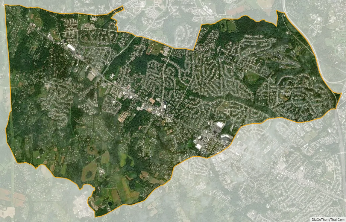
Randallstown city Satellite Map
Geography
Randallstown is located at 39°22′31″N 76°47′48″W / 39.37528°N 76.79667°W / 39.37528; -76.79667 (39.375272, −76.796621). According to the United States Census Bureau, the CDP has a total area of 10.3 square miles (27 km), all land.
See also
Map of Maryland State and its subdivision: Map of other states:- Alabama
- Alaska
- Arizona
- Arkansas
- California
- Colorado
- Connecticut
- Delaware
- District of Columbia
- Florida
- Georgia
- Hawaii
- Idaho
- Illinois
- Indiana
- Iowa
- Kansas
- Kentucky
- Louisiana
- Maine
- Maryland
- Massachusetts
- Michigan
- Minnesota
- Mississippi
- Missouri
- Montana
- Nebraska
- Nevada
- New Hampshire
- New Jersey
- New Mexico
- New York
- North Carolina
- North Dakota
- Ohio
- Oklahoma
- Oregon
- Pennsylvania
- Rhode Island
- South Carolina
- South Dakota
- Tennessee
- Texas
- Utah
- Vermont
- Virginia
- Washington
- West Virginia
- Wisconsin
- Wyoming


