Rock Hall, is a waterfront town located directly on the National Chesapeake Scenic Byway in Kent County, Maryland, United States. The population was 1,310 at the 2010 census.
| Name: | Rock Hall town |
|---|---|
| LSAD Code: | 43 |
| LSAD Description: | town (suffix) |
| State: | Maryland |
| County: | Kent County |
| Founded: | 1707 |
| Incorporated: | 1908 |
| Elevation: | 10 ft (3 m) |
| Total Area: | 1.55 sq mi (4.02 km²) |
| Land Area: | 1.34 sq mi (3.47 km²) |
| Water Area: | 0.21 sq mi (0.55 km²) |
| Total Population: | 1,198 |
| Population Density: | 895.37/sq mi (345.74/km²) |
| ZIP code: | 21661 |
| Area code: | 410 |
| FIPS code: | 2467400 |
| GNISfeature ID: | 0586872 |
Online Interactive Map
Click on ![]() to view map in "full screen" mode.
to view map in "full screen" mode.
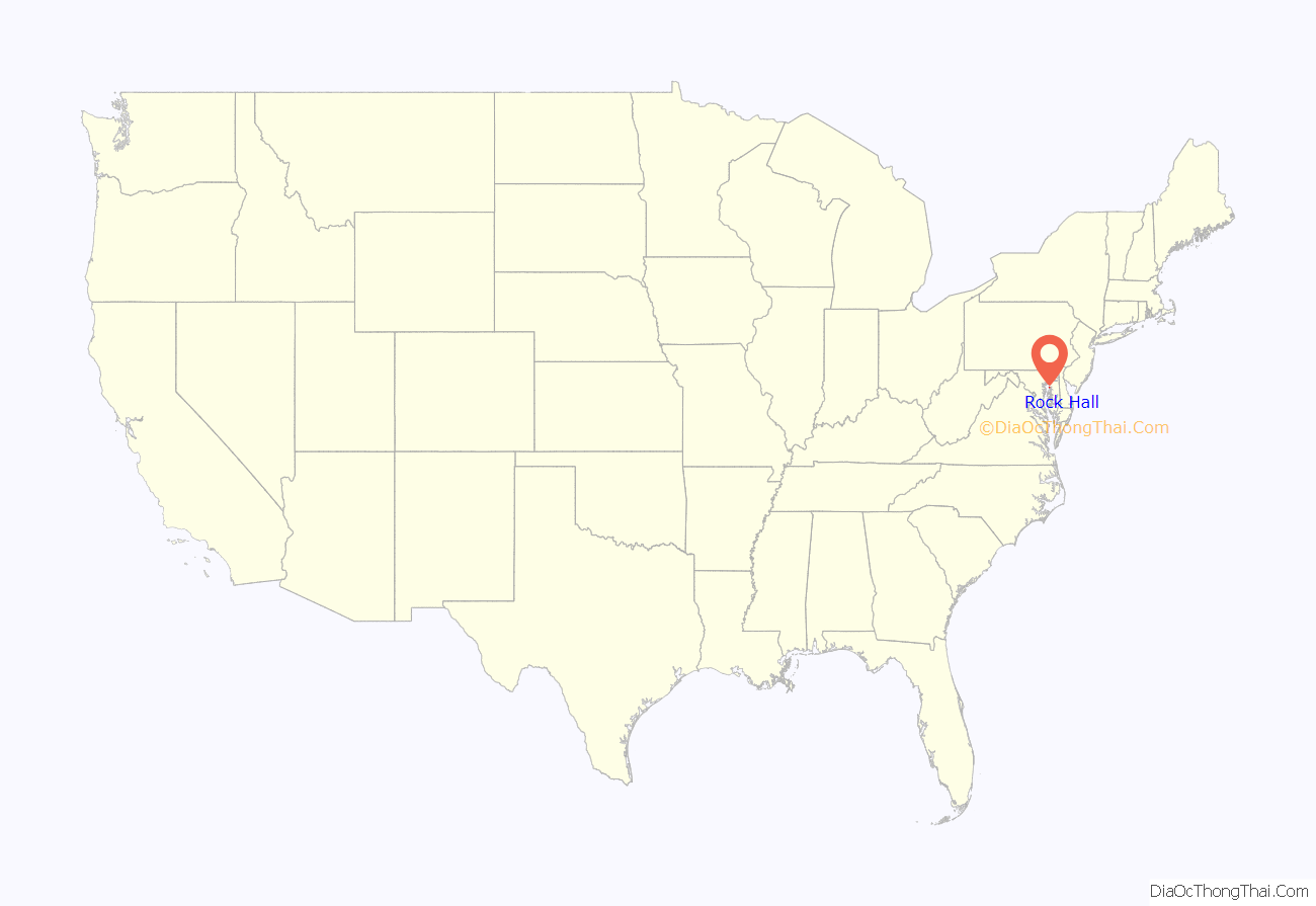
Rock Hall location map. Where is Rock Hall town?
History
Originally called Rock Hall Crossroads, the city is now a fishing, sailing and recreational boating town situated on the upper Eastern Shore of the Chesapeake Bay. It is the center of Kent County’s maritime industries, and is also a popular tourist destination. It was established in 1707. The city was named for a mansion made of white sandstone, and was incorporated in 1908.
Rock Hall served as a shipping point for tobacco, seafood and other agricultural products, as well as a passenger transport connection for travelers during the Colonial era. Later, fishing and seafood processing became the town’s largest industry.
The town missed out on receiving a railroad connection in 1872, when the Kent County Railroad set out to build from Massey via Chestertown and connect with a ferry to Baltimore for both passengers and freight. The company went bankrupt in 1877, having only built a stub from Chestertown to a place called Belair or Parsons and abandoning the rest unfinished.
Rock Hall Harbor remains a working harbor with an active fleet of commercial watermen, charter fishing and commercial sailing boats. It has three museums including a waterman’s museum.
Hinchingham and Trumpington are listed on the National Register of Historic Places.
Rock Hall Road Map
Rock Hall city Satellite Map
Geography
According to the United States Census Bureau, the town has a total area of 1.55 square miles (4.01 km), of which 1.34 square miles (3.47 km) is land and 0.21 square miles (0.54 km) is water.
See also
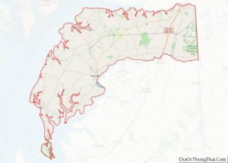
Map of Maryland State and its subdivision: Map of other states:- Alabama
- Alaska
- Arizona
- Arkansas
- California
- Colorado
- Connecticut
- Delaware
- District of Columbia
- Florida
- Georgia
- Hawaii
- Idaho
- Illinois
- Indiana
- Iowa
- Kansas
- Kentucky
- Louisiana
- Maine
- Maryland
- Massachusetts
- Michigan
- Minnesota
- Mississippi
- Missouri
- Montana
- Nebraska
- Nevada
- New Hampshire
- New Jersey
- New Mexico
- New York
- North Carolina
- North Dakota
- Ohio
- Oklahoma
- Oregon
- Pennsylvania
- Rhode Island
- South Carolina
- South Dakota
- Tennessee
- Texas
- Utah
- Vermont
- Virginia
- Washington
- West Virginia
- Wisconsin
- Wyoming
