Rosedale is an unincorporated community and census-designated place in Baltimore County, Maryland, United States. The population was 19,257 at the 2010 United States Census.
| Name: | Rosedale CDP |
|---|---|
| LSAD Code: | 57 |
| LSAD Description: | CDP (suffix) |
| State: | Maryland |
| County: | Baltimore County |
| Elevation: | 20 ft (6 m) |
| Total Area: | 7.10 sq mi (18.40 km²) |
| Land Area: | 6.86 sq mi (17.78 km²) |
| Water Area: | 0.24 sq mi (0.62 km²) |
| Total Population: | 19,961 |
| Population Density: | 2,908.49/sq mi (1,122.92/km²) |
| ZIP code: | 21237 |
| Area code: | 410 |
| FIPS code: | 2468400 |
| GNISfeature ID: | 0591183 |
Online Interactive Map
Click on ![]() to view map in "full screen" mode.
to view map in "full screen" mode.
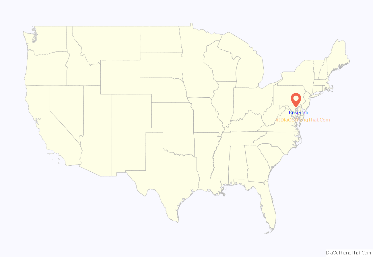
Rosedale location map. Where is Rosedale CDP?
History
The etymology of Rosedale remains uncertain and lacks definitive documentation. However, according to anecdotal evidence, a fourth-grade class in 1950 was instructed to conduct interviews with local residents regarding the history of the Rosedale community. From their interviews, a possible explanation emerged: A young Englishman had a farm on Hamilton Avenue just above Philadelphia Road. His farm had numerous roses. Since his name was Dale and the roses were so lovely, the townspeople settled on the name of Rosedale.
Rosedale, a community northeast of the city of Baltimore, was a plantation and later farming community, from the time of the first settlers and their slaves, until suburban development began after World War II. Maryland Route 7, which runs through the community, was originally the Philadelphia Road. George Washington traveled it to New York in 1789 where he was inaugurated as the first American president.
In the latter part of the nineteenth century, this area was settled by new waves of immigrants, mostly from Germany and Poland. A 1940 article was written about the 59th wedding anniversary of Charles Schatzschneider and his wife; they had been immigrants who settled in this area. Charles Schatzschneider was born in Germany in 1859 and came at the age of 13 to the United States as a farm laborer. He settled in Rosedale, where he later married. He and his wife raised 15 children. During their lives they saw the area develop from a rather primitive rural community to one with gas and electric lighting, water and sewerage systems and paved streets. New electric trains passed rapidly through the community. When this couple had first come to the area, great three-masted schooners could sail all the way up Back River to the heading.
On 8 March 1909, a man named William Ramsey was lynched in the town. The first school, a wooden building with two rooms, was built on the corner of Hamilton Avenue and Philadelphia Road. By 1950 it was used as a fire house and hall.
Beginning in the 1950s, aided by federal subsidies of new highways, new residential development was built in the suburbs of Baltimore and other major cities. Rosedale grew steadily as a residential suburb. Three quarters of the housing units existing in 1990 were built between 1854 and 1979.
Source: Rosedale Library Mary Bennett (Henry) (goofy) 3/16/2020
Rosedale Road Map
Rosedale city Satellite Map
Geography
Rosedale is located at 39°19′42″N 76°30′40″W / 39.32833°N 76.51111°W / 39.32833; -76.51111 (39.328307, −76.511100).
According to the United States Census Bureau, the CDP has a total area of 7.1 square miles (18 km), of which 6.9 square miles (18 km) is land and 0.2 square miles (0.52 km), or 3.23%, is water.
See also
Map of Maryland State and its subdivision: Map of other states:- Alabama
- Alaska
- Arizona
- Arkansas
- California
- Colorado
- Connecticut
- Delaware
- District of Columbia
- Florida
- Georgia
- Hawaii
- Idaho
- Illinois
- Indiana
- Iowa
- Kansas
- Kentucky
- Louisiana
- Maine
- Maryland
- Massachusetts
- Michigan
- Minnesota
- Mississippi
- Missouri
- Montana
- Nebraska
- Nevada
- New Hampshire
- New Jersey
- New Mexico
- New York
- North Carolina
- North Dakota
- Ohio
- Oklahoma
- Oregon
- Pennsylvania
- Rhode Island
- South Carolina
- South Dakota
- Tennessee
- Texas
- Utah
- Vermont
- Virginia
- Washington
- West Virginia
- Wisconsin
- Wyoming
