Shaft is a census-designated place (CDP) corresponding to the unincorporated community of Borden Shaft in Allegany County, Maryland, United States. As of the 2010 census, the CDP had a population of 235. It is located south of Frostburg, in the Georges Creek Valley. It lies at an elevation of 1,795 feet (547 m). Borden, or Borden Shaft, was the site of a major deep mine in the valley. The principal owners of the mines were the Borden family of Massachusetts. Deep mines were unusual in the area, as most were drift mines in the Big Vein region. In 1907, the mine operator was H. and W. Hitchens Coal company. The C&P railroad delivered the windlass for the mine, then used its railroad crane to set it in place.
| Name: | Shaft CDP |
|---|---|
| LSAD Code: | 57 |
| LSAD Description: | CDP (suffix) |
| State: | Maryland |
| County: | Allegany County |
| Elevation: | 1,795 ft (547 m) |
| Total Area: | 0.80 sq mi (2.06 km²) |
| Land Area: | 0.79 sq mi (2.04 km²) |
| Water Area: | 0.01 sq mi (0.03 km²) |
| Total Population: | 208 |
| Population Density: | 264.63/sq mi (102.11/km²) |
| ZIP code: | 21532 |
| Area code: | 240 and 301 |
| FIPS code: | 2471460 |
| GNISfeature ID: | 2583687 |
Online Interactive Map
Click on ![]() to view map in "full screen" mode.
to view map in "full screen" mode.
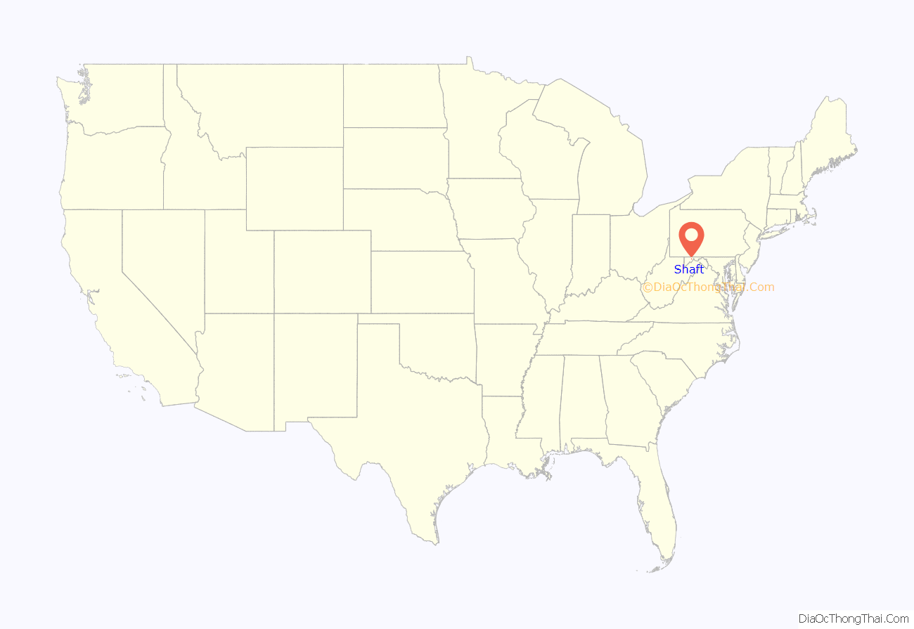
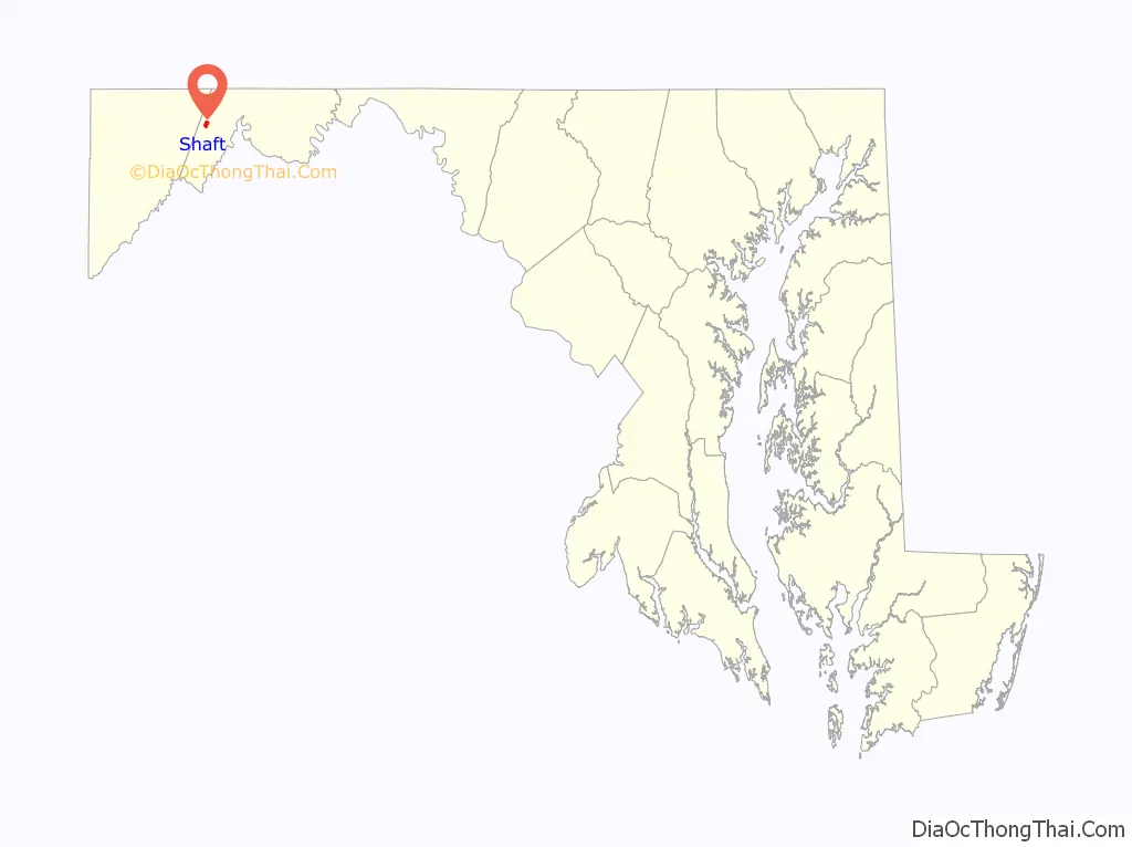
Shaft location map. Where is Shaft CDP?
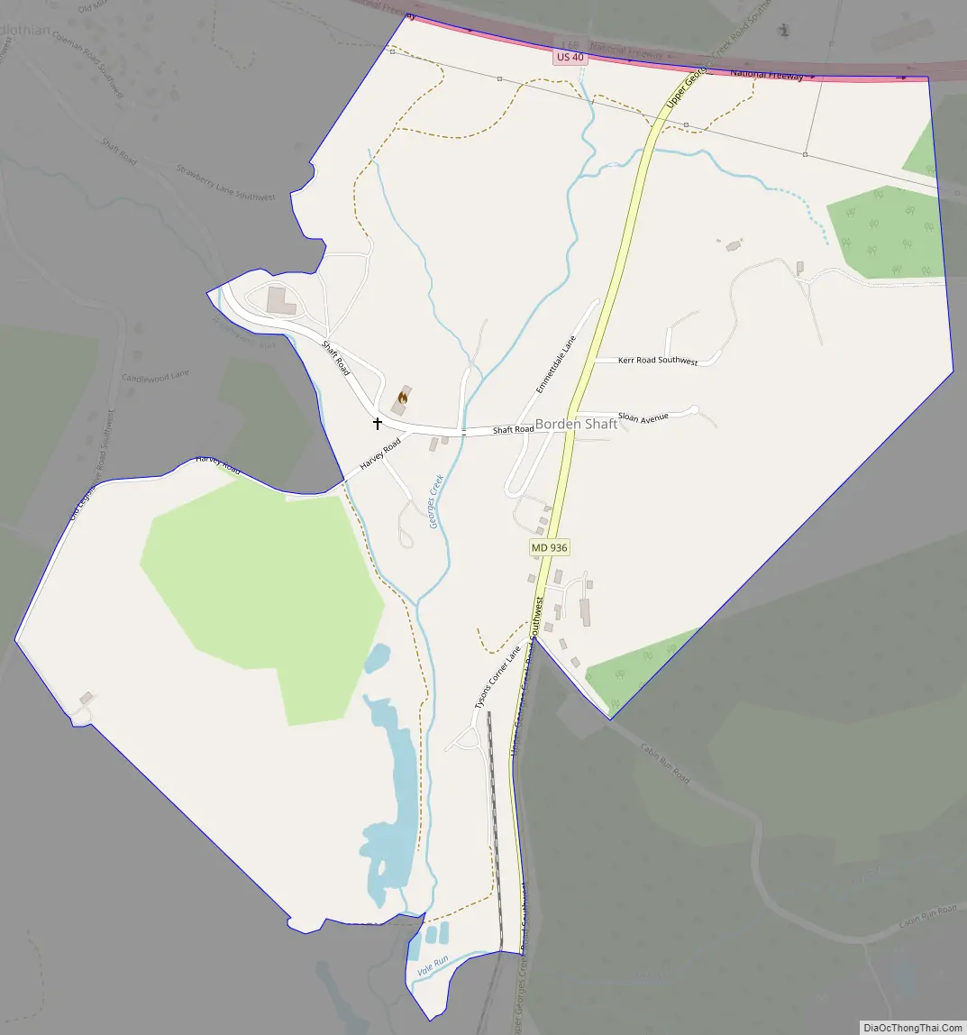
Shaft Road Map
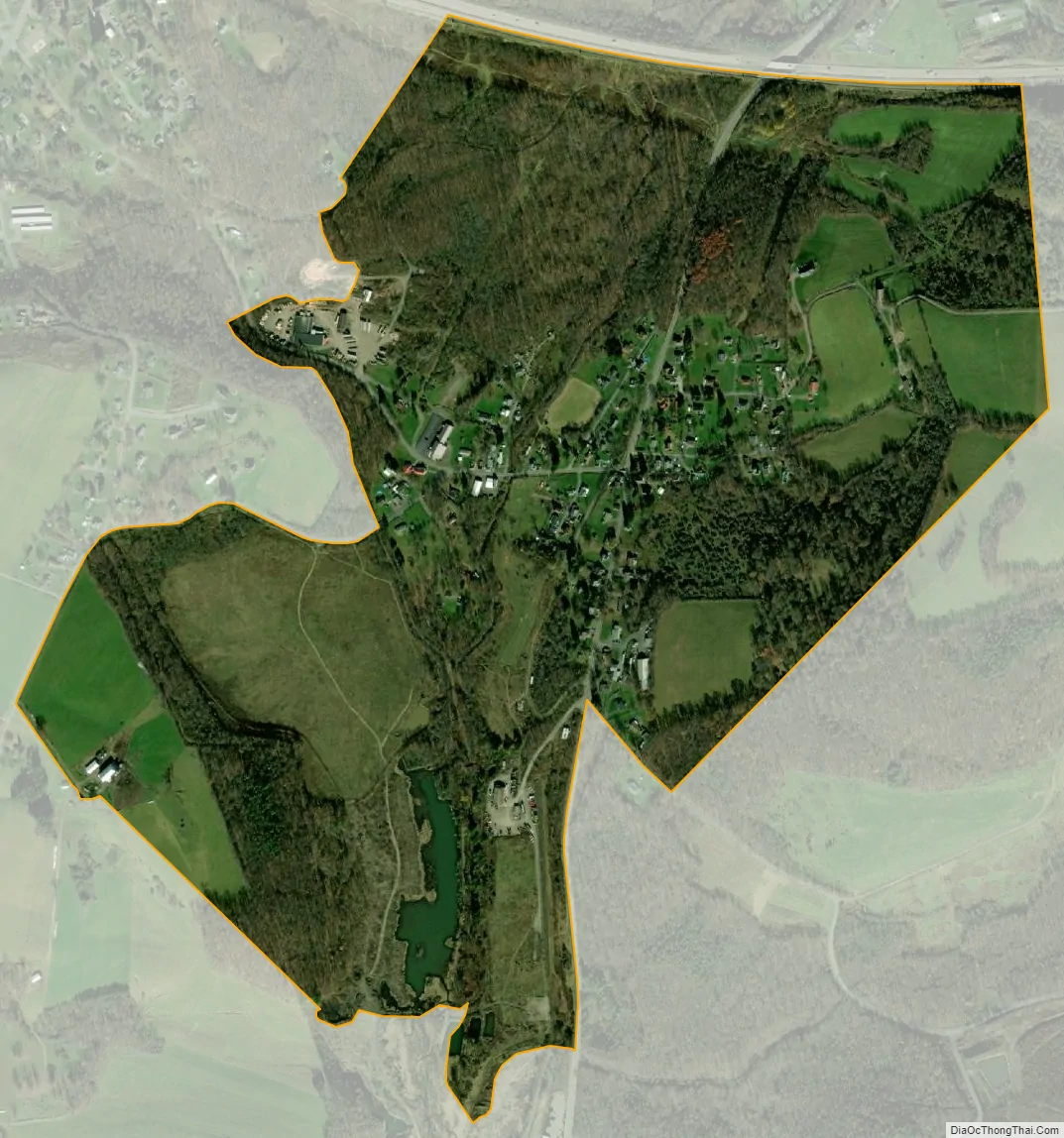
Shaft city Satellite Map
See also
Map of Maryland State and its subdivision: Map of other states:- Alabama
- Alaska
- Arizona
- Arkansas
- California
- Colorado
- Connecticut
- Delaware
- District of Columbia
- Florida
- Georgia
- Hawaii
- Idaho
- Illinois
- Indiana
- Iowa
- Kansas
- Kentucky
- Louisiana
- Maine
- Maryland
- Massachusetts
- Michigan
- Minnesota
- Mississippi
- Missouri
- Montana
- Nebraska
- Nevada
- New Hampshire
- New Jersey
- New Mexico
- New York
- North Carolina
- North Dakota
- Ohio
- Oklahoma
- Oregon
- Pennsylvania
- Rhode Island
- South Carolina
- South Dakota
- Tennessee
- Texas
- Utah
- Vermont
- Virginia
- Washington
- West Virginia
- Wisconsin
- Wyoming


