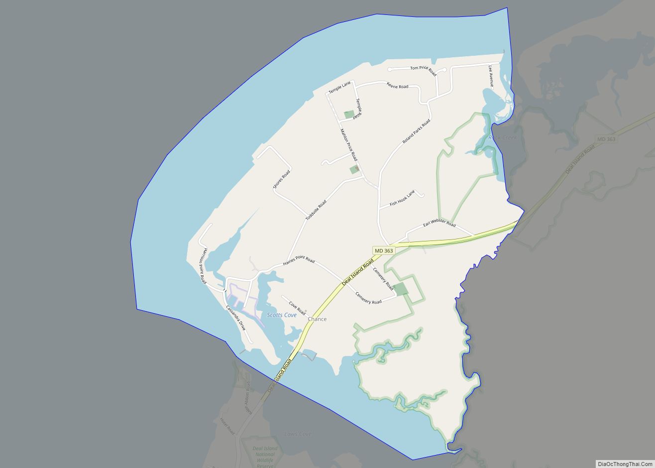
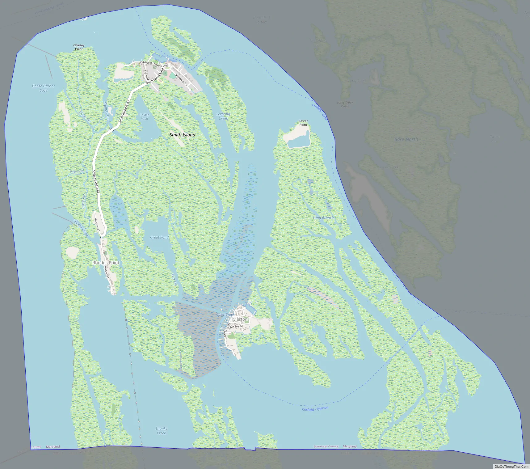
Smith Island is a collection of three distinct island communities, Tylerton, Rhodes Point, and Ewell, Maryland on the Chesapeake Bay, on the border of Maryland and Virginia territorial waters in the United States. The island is the last inhabited island in Maryland that is not accessible by vehicle, where most of the islands are eroding due to tidal currents and sea level rise. A study conducted in 2008 by the DNR reported that Smith Island is expected to completely erode by 2100 if no action was taken.
The island’s population is approximately 220, down from a peak of about 800. On its Maryland side, Smith Island is a census-designated place (CDP) in Somerset County. It is included in the Salisbury, Maryland-Delaware Metropolitan Statistical Area.
| Name: | Smith Island CDP |
|---|---|
| LSAD Code: | 57 |
| LSAD Description: | CDP (suffix) |
| State: | Maryland |
| County: | Somerset County |
| Elevation: | 0 ft (0 m) |
| Total Area: | 9.18 sq mi (23.77 km²) |
| Land Area: | 4.35 sq mi (11.27 km²) |
| Water Area: | 4.83 sq mi (12.50 km²) |
| Total Population: | 202 |
| Population Density: | 46.44/sq mi (17.93/km²) |
| FIPS code: | 2472887 |
| GNISfeature ID: | 1852600 |
| Website: | www.visitsmithisland.com |
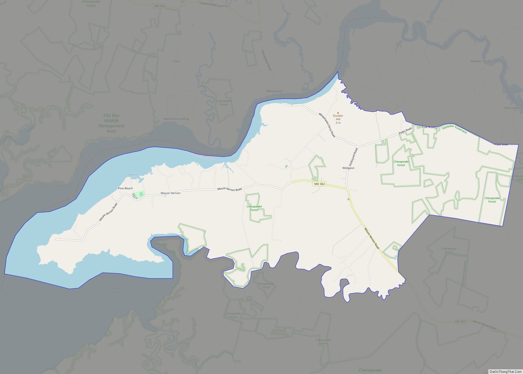
Online Interactive Map
Click on ![]() to view map in "full screen" mode.
to view map in "full screen" mode.
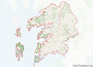
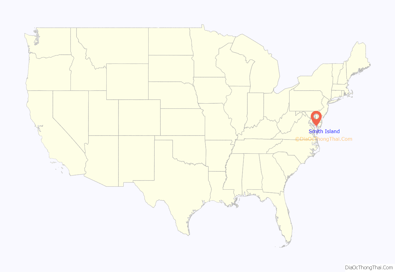
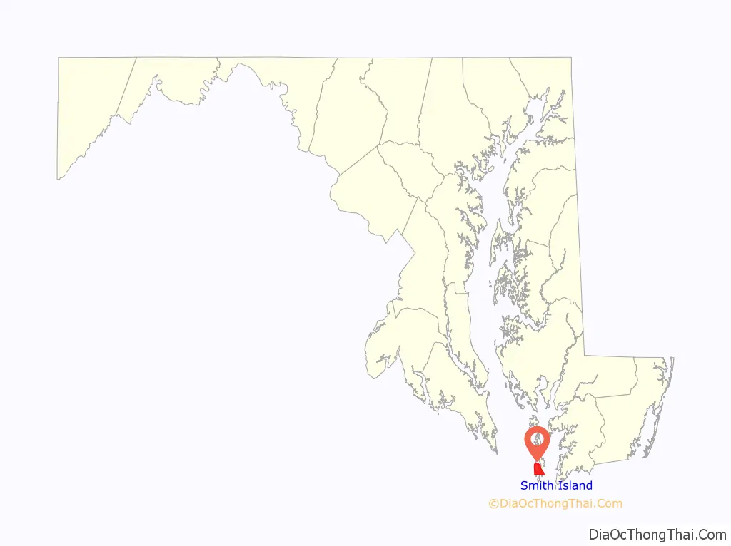
Smith Island location map. Where is Smith Island CDP?
History
The island was charted by John Smith. British settlers arrived on the island in the 17th century, arriving from Cornwall, Wales, and Dorset, England, via Virginia. The island’s population peaked at 800 in the 1900s.
Smith Island is inhabited by one of the region’s oldest English-speaking communities, which is known for its relic accent, preserving speech patterns from the original English colonial settlers. The local dialect is like the dialects of the West Country of England, including Cornwall. The dialect contains some relict features indicative of its origins. The dialect is like the Ocracoke Brogue, sometimes referred to as the Outer Banks Brogue.
The 1940 Maryland guide described a series of economic conflicts that characterized relationships between the inhabitants of Smith Island, the inhabitants of nearby Tangier Island, and agencies of the Federal government in the late 19th and early 20th centuries. For example, although 23,000 acres of rich oyster beds had been ceded from Maryland to Virginia in 1877,
The Island Belle, a former passenger ferry to the islands, was listed on the National Register of Historic Places in 1979.
After the 2012 Hurricane Sandy, the Department of Housing and Community Development for the state of Maryland offered buyouts to landowners, most of whom refused the offer.
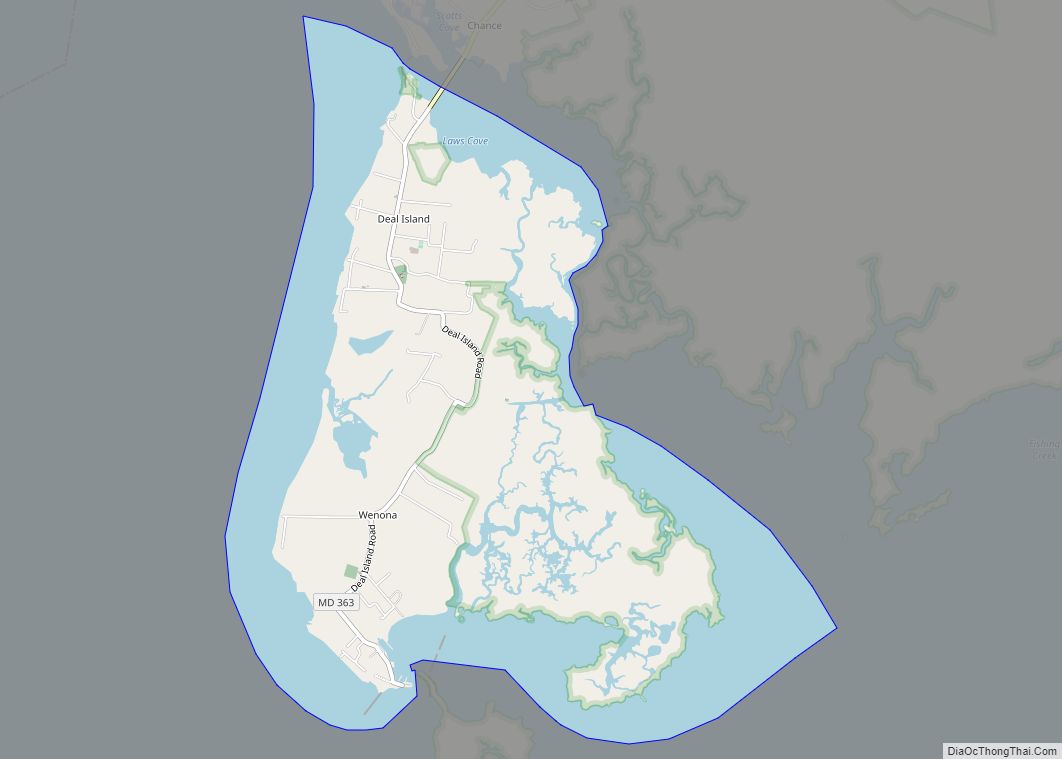
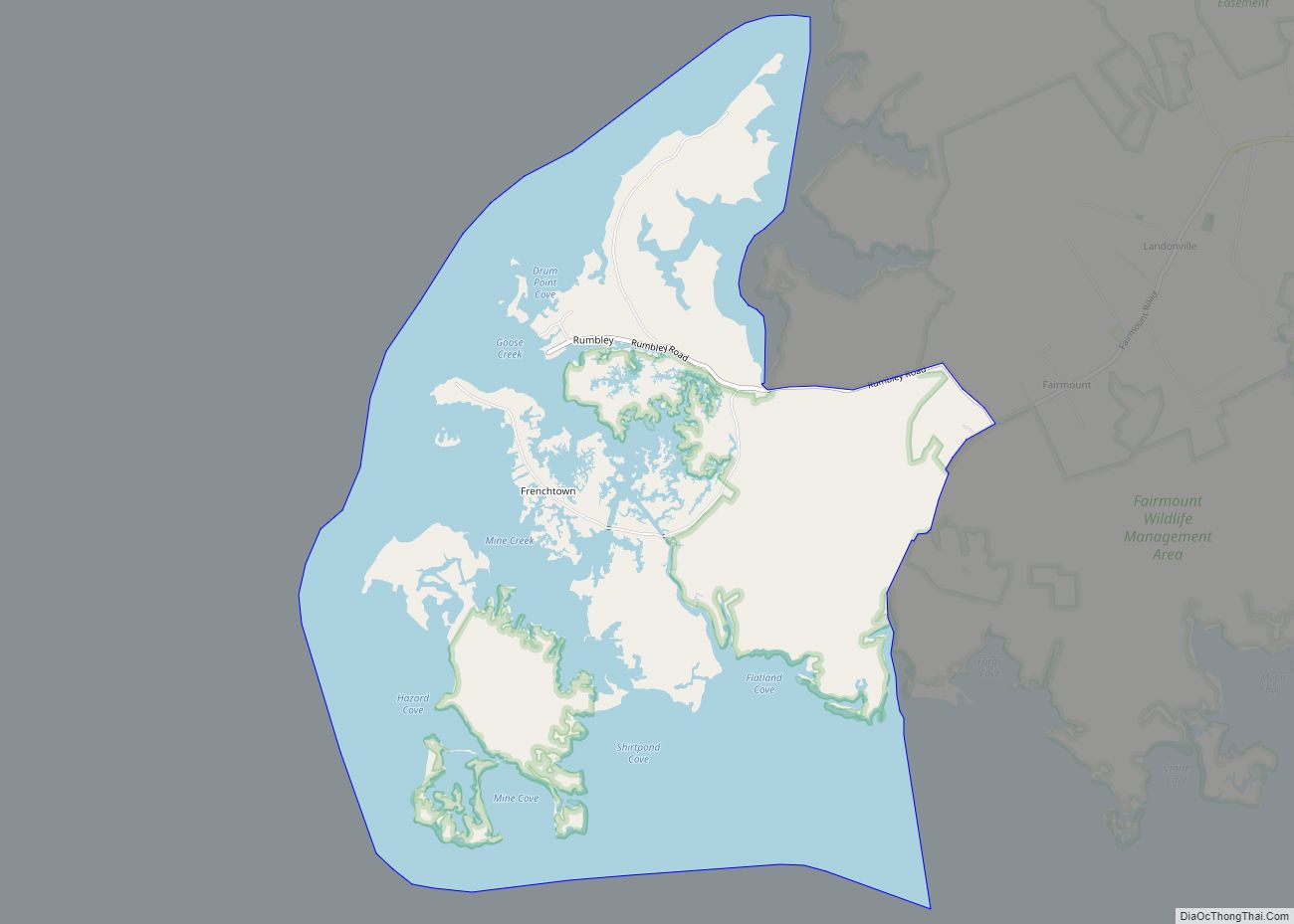
Smith Island Road Map
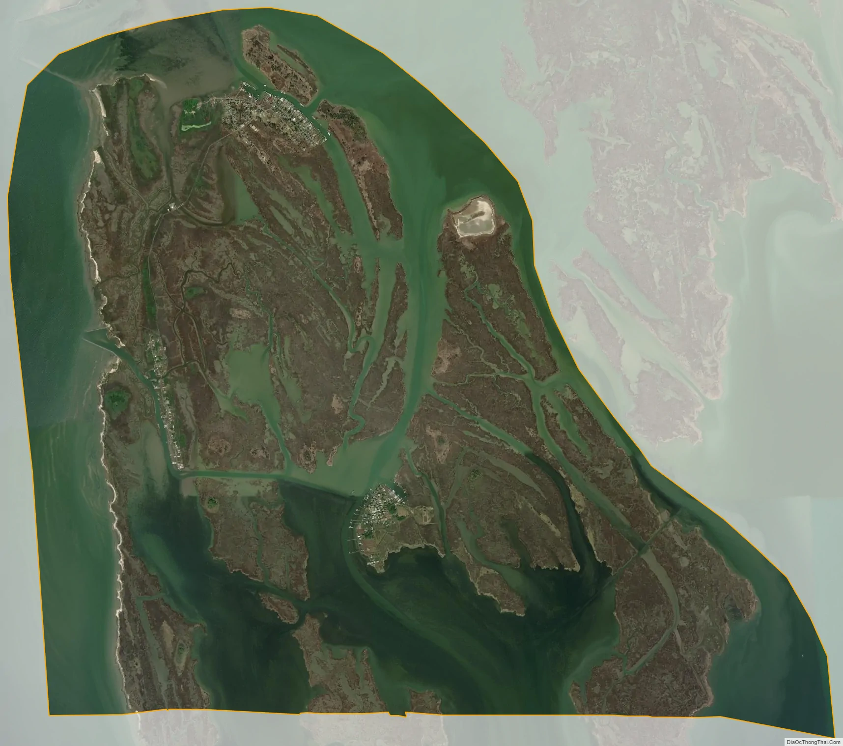
Smith Island city Satellite Map
Geography
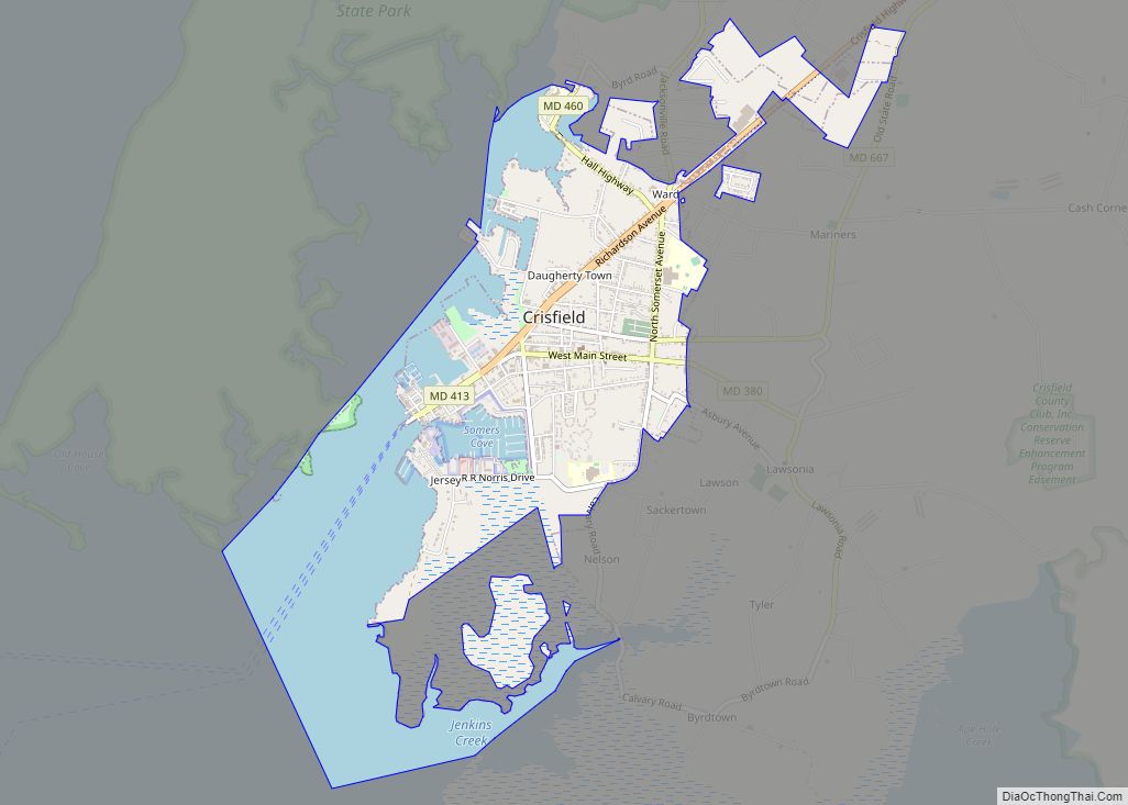
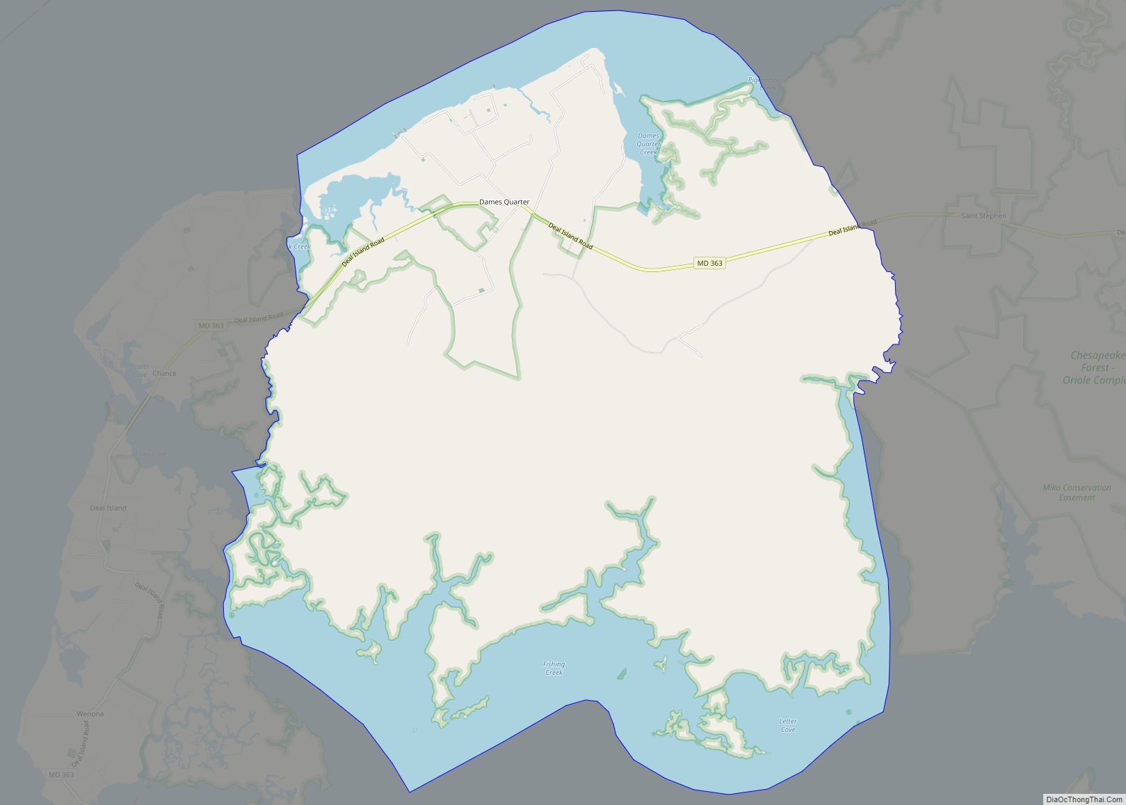
Smith Island lies approximately 10 miles (16 km) west of Crisfield, Maryland, across the Tangier Sound portion of the Chesapeake Bay. The island consists of three communities, namely Ewell, Tylerton and Rhodes Point, which all sit on the Maryland portion of the island. The Virginia portion is uninhabited, although it once contained many homes of early settlers.
Although a portion of this island lies within Virginia, “Smith Island, Virginia” refers to a separate but identically named barrier island off Cape Charles.
Climate change and sea level rise
By the 2010s, the island had shrunk mainly due to erosion and rising sea levels. In the last 150 years, Smith Island has lost over 3,300 acres (13 km) of wetlands. The island is projected to be completely eroded by 2100 should the sea level rise by another foot. Preventative measures including a jetty-building project completed in 2018, and the realignment of waterways through dredging, were implemented in the hope to stop this. These restoration efforts will be ongoing for the next 50 years to restore 1,900 acres (8 km) of submerged aquatic vegetation and 240 acres (1 km) of wetlands. Moreover, the island is building additional coastal defenses.
See also
Map of Maryland State and its subdivision: Map of other states:- Alabama
- Alaska
- Arizona
- Arkansas
- California
- Colorado
- Connecticut
- Delaware
- District of Columbia
- Florida
- Georgia
- Hawaii
- Idaho
- Illinois
- Indiana
- Iowa
- Kansas
- Kentucky
- Louisiana
- Maine
- Maryland
- Massachusetts
- Michigan
- Minnesota
- Mississippi
- Missouri
- Montana
- Nebraska
- Nevada
- New Hampshire
- New Jersey
- New Mexico
- New York
- North Carolina
- North Dakota
- Ohio
- Oklahoma
- Oregon
- Pennsylvania
- Rhode Island
- South Carolina
- South Dakota
- Tennessee
- Texas
- Utah
- Vermont
- Virginia
- Washington
- West Virginia
- Wisconsin
- Wyoming