Sudlersville is a town in the far northeastern corner of Queen Anne’s County, Maryland, United States. The ZIP code is 21668 and the area code is 410. The population was 497 at the 2010 census. It is perhaps best known as the hometown of Baseball Hall Of Fame slugger Jimmie Foxx. Other famous residents include astronomer and mathematician Simon Newcomb.
| Name: | Sudlersville town |
|---|---|
| LSAD Code: | 43 |
| LSAD Description: | town (suffix) |
| State: | Maryland |
| County: | Queen Anne’s County |
| Incorporated: | 1870 |
| Elevation: | 69 ft (21 m) |
| Total Area: | 1.52 sq mi (3.94 km²) |
| Land Area: | 1.52 sq mi (3.94 km²) |
| Water Area: | 0.00 sq mi (0.00 km²) |
| Total Population: | 507 |
| Population Density: | 333.55/sq mi (128.78/km²) |
| ZIP code: | 21668 |
| Area code: | 410 |
| FIPS code: | 2475650 |
| GNISfeature ID: | 0598128 |
| Website: | www.townofsudlersville.org |
Online Interactive Map
Click on ![]() to view map in "full screen" mode.
to view map in "full screen" mode.
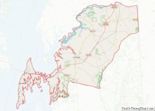
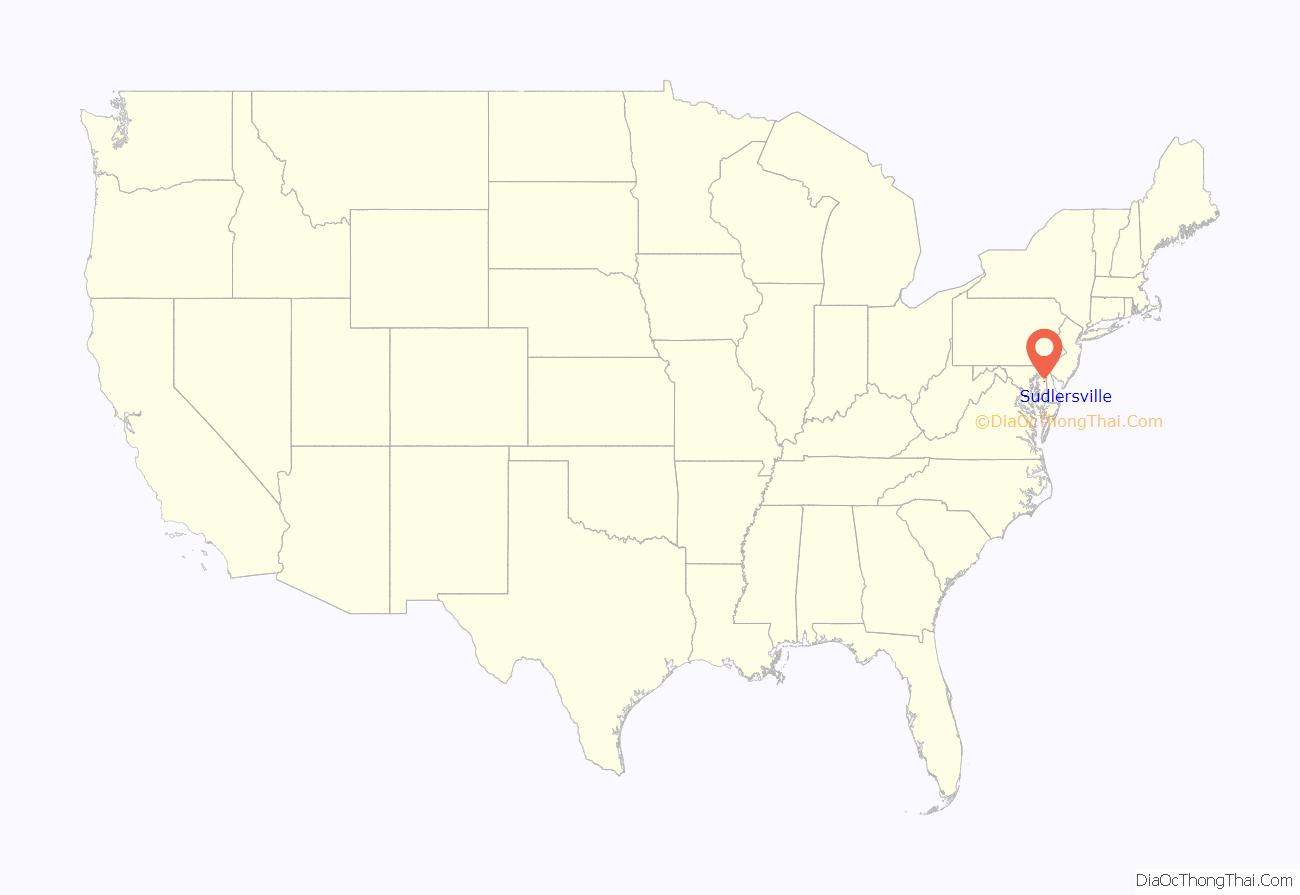
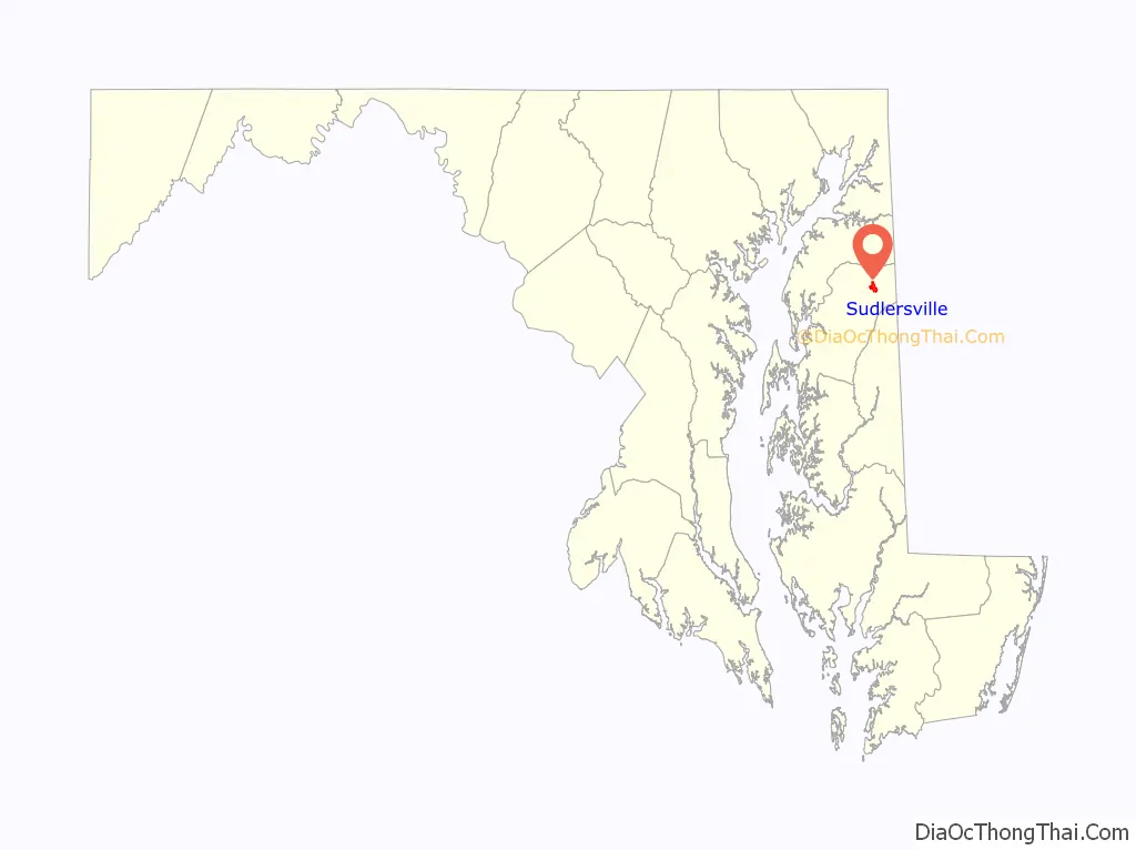
Sudlersville location map. Where is Sudlersville town?
History
Dudley’s Chapel and St. Andrew’s Episcopal Chapel are listed on the National Register of Historic Places.
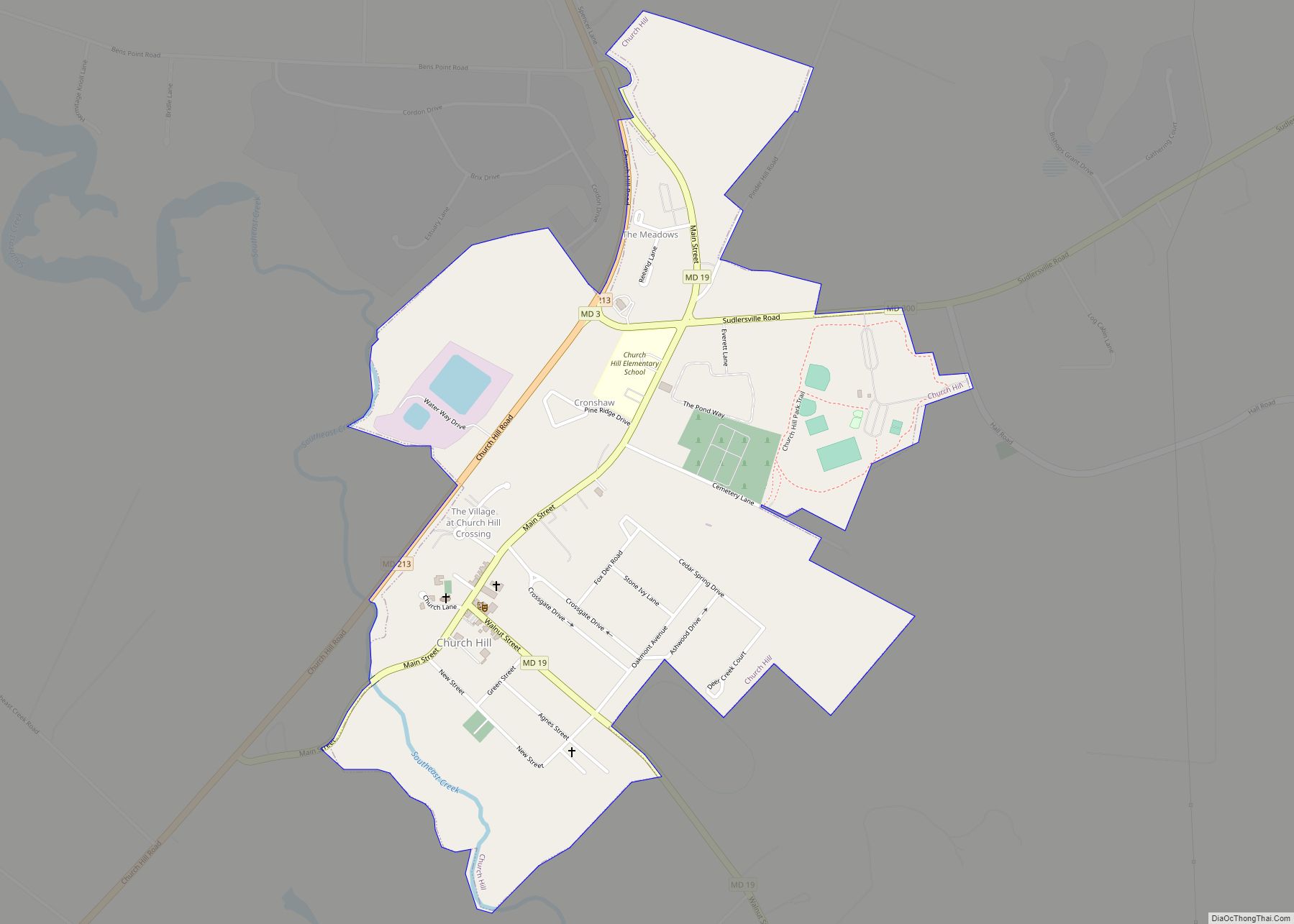
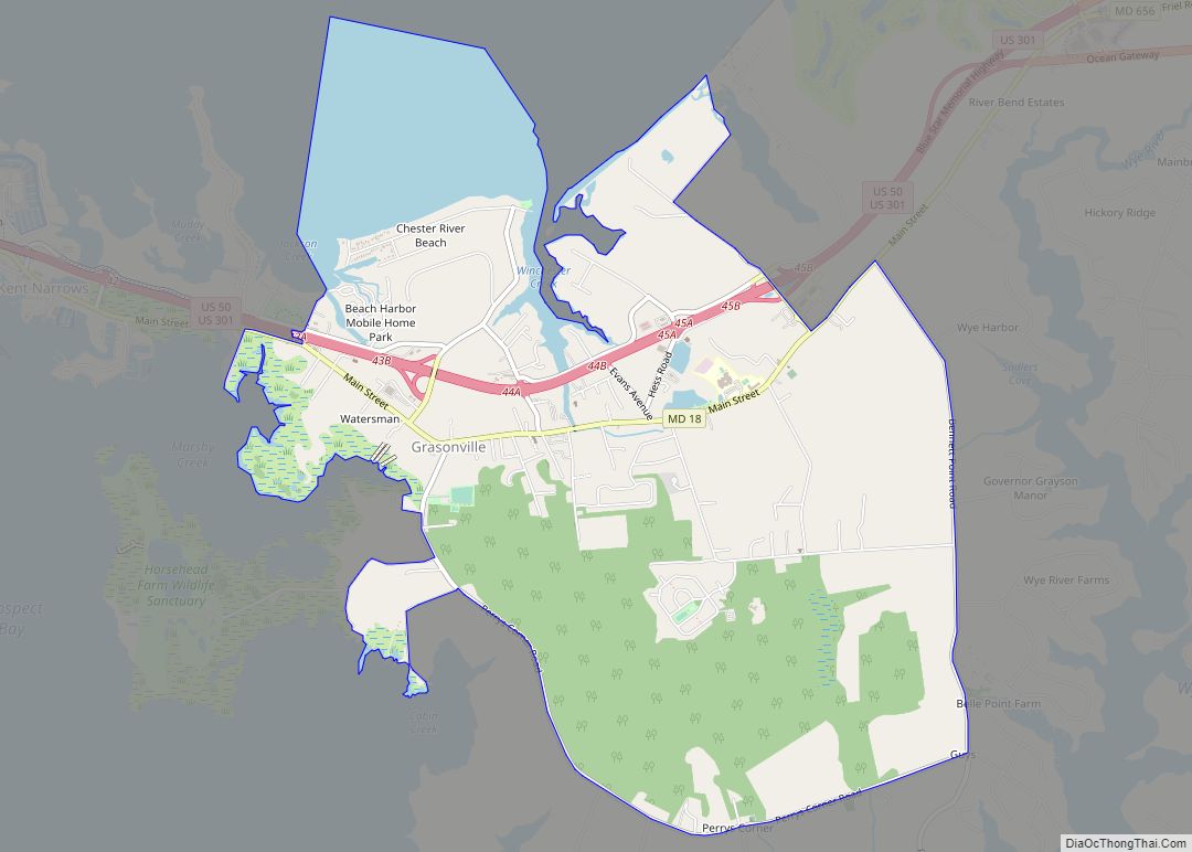
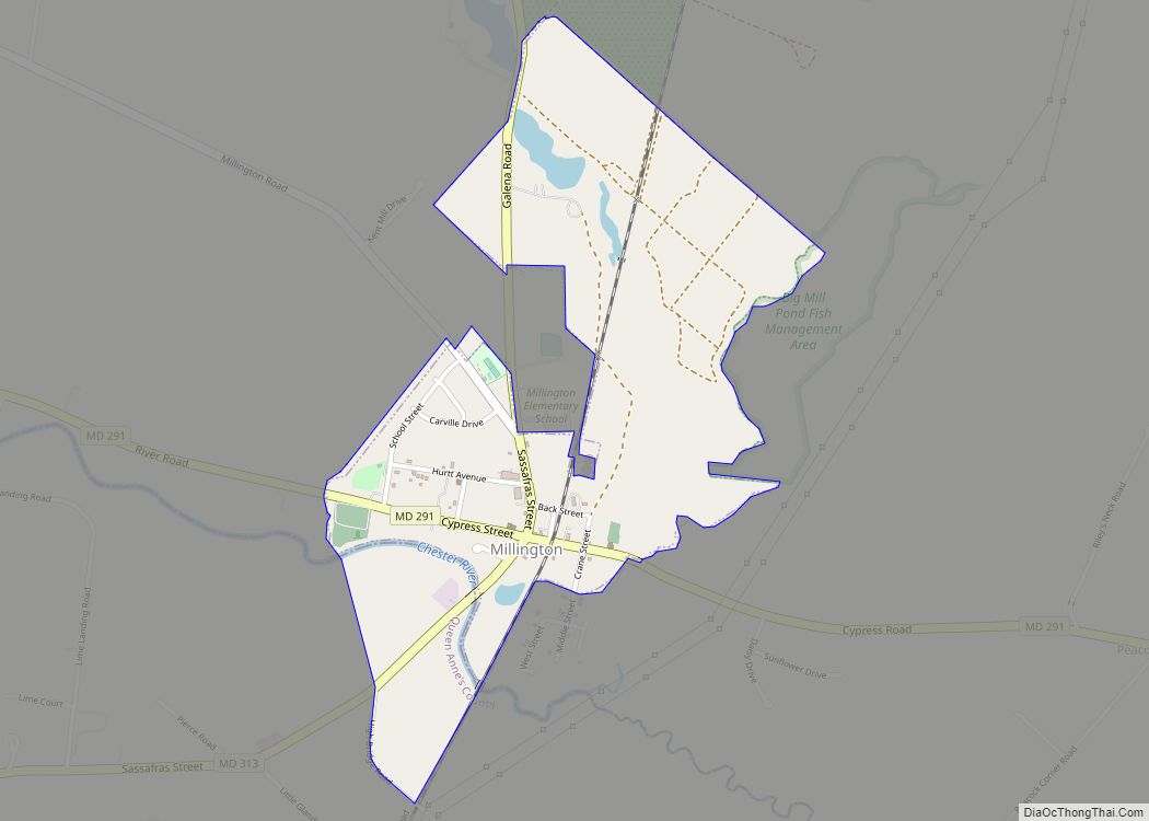
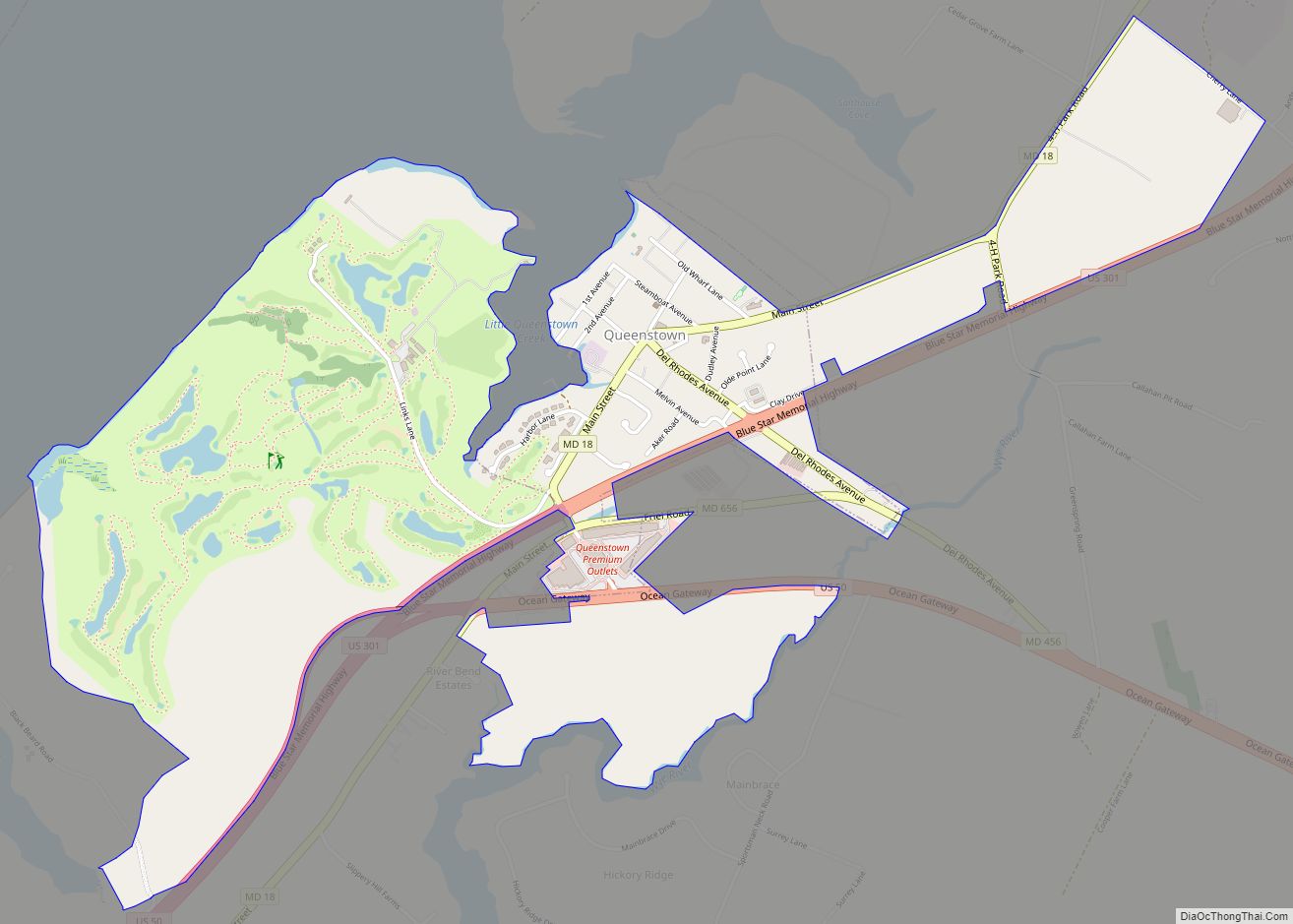
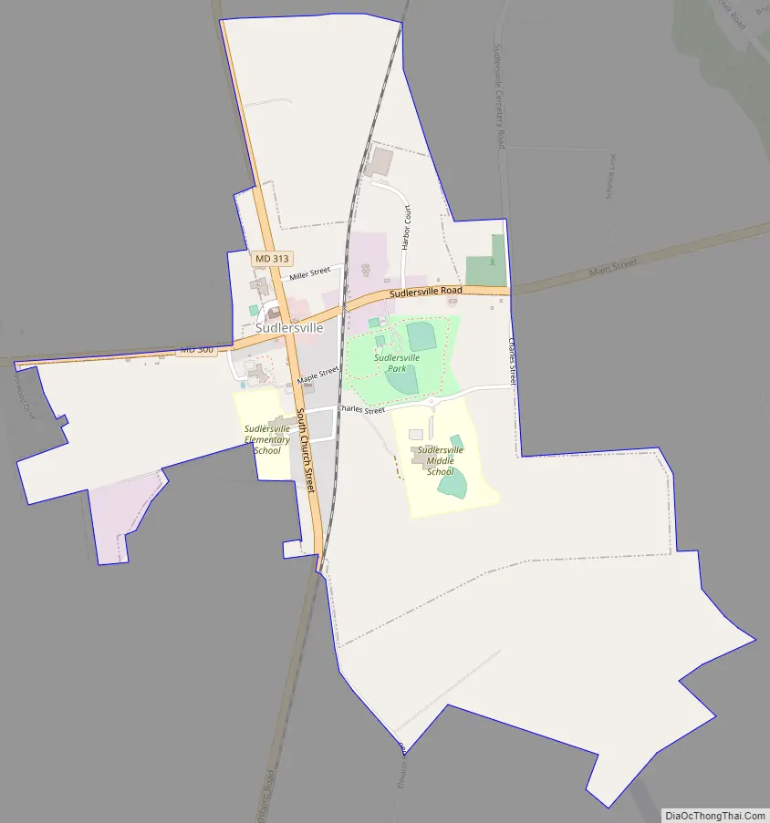
Sudlersville Road Map
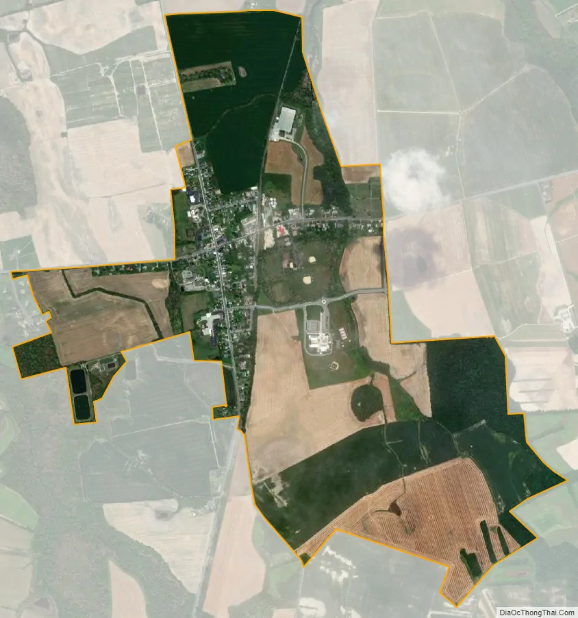
Sudlersville city Satellite Map
Geography
Sudlersville is located at 39°11′11″N 75°51′29″W / 39.18639°N 75.85806°W / 39.18639; -75.85806 (39.186348, -75.858138).
According to the United States Census Bureau, the town has a total area of 0.94 square miles (2.43 km), all land.
See also
Map of Maryland State and its subdivision: Map of other states:- Alabama
- Alaska
- Arizona
- Arkansas
- California
- Colorado
- Connecticut
- Delaware
- District of Columbia
- Florida
- Georgia
- Hawaii
- Idaho
- Illinois
- Indiana
- Iowa
- Kansas
- Kentucky
- Louisiana
- Maine
- Maryland
- Massachusetts
- Michigan
- Minnesota
- Mississippi
- Missouri
- Montana
- Nebraska
- Nevada
- New Hampshire
- New Jersey
- New Mexico
- New York
- North Carolina
- North Dakota
- Ohio
- Oklahoma
- Oregon
- Pennsylvania
- Rhode Island
- South Carolina
- South Dakota
- Tennessee
- Texas
- Utah
- Vermont
- Virginia
- Washington
- West Virginia
- Wisconsin
- Wyoming