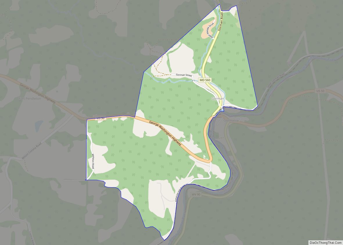
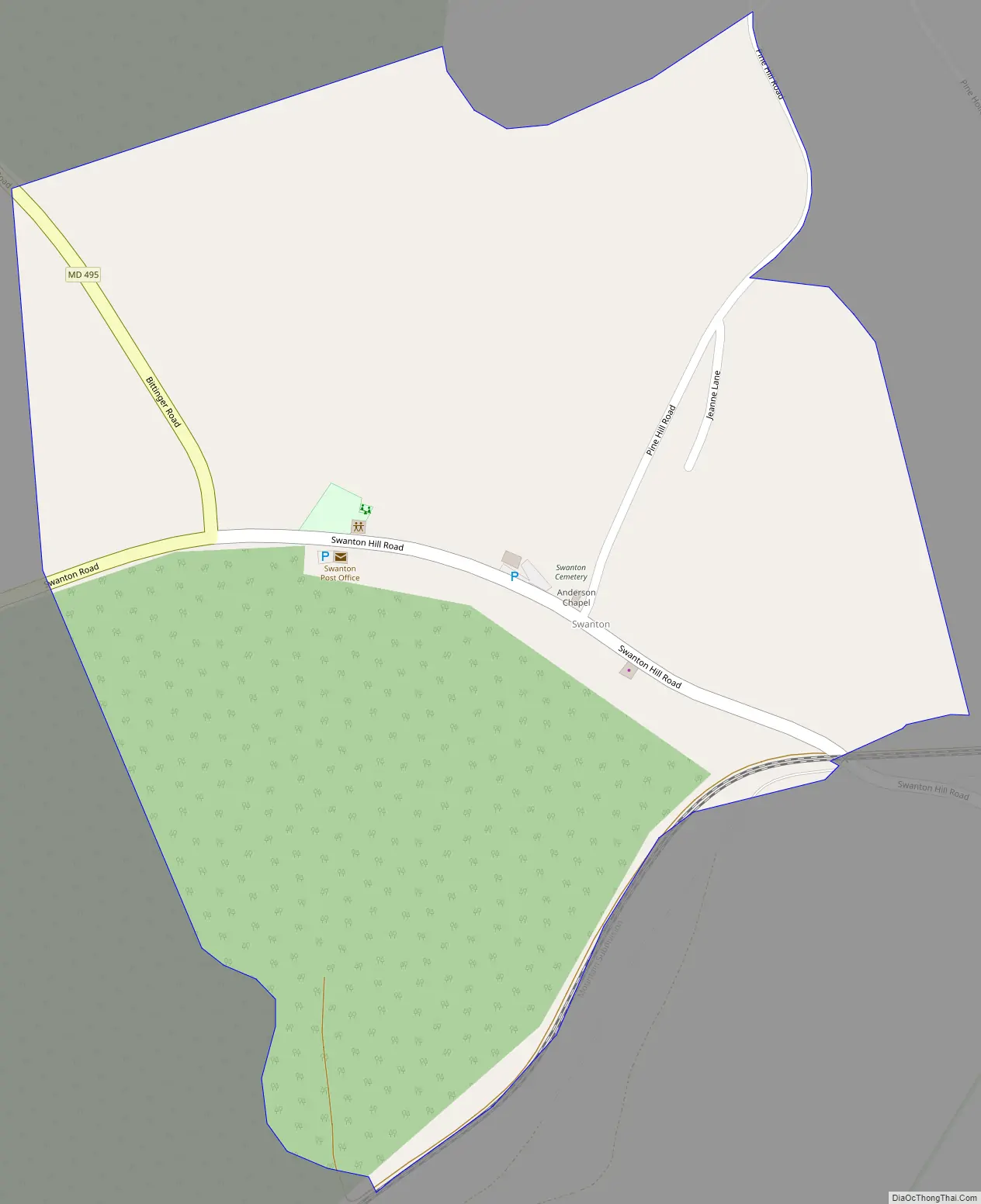
Swanton is an unincorporated area and census-designated place (CDP) in Garrett County, Maryland, United States. Swanton is close to several recreation areas, such as Deep Creek Lake State Park and Jennings Randolph Lake. A church and a post office are located in the downtown area. The population was 58 at the 2010 census.
Anderson Chapel was listed on the National Register of Historic Places in 1984.
| Name: | Swanton CDP |
|---|---|
| LSAD Code: | 57 |
| LSAD Description: | CDP (suffix) |
| State: | Maryland |
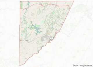
| County: | Garrett County |
| Elevation: | 2,300 ft (700 m) |
| Total Area: | 0.38 sq mi (0.99 km²) |
| Land Area: | 0.38 sq mi (0.99 km²) |
| Water Area: | 0.00 sq mi (0.00 km²) |
| Total Population: | 66 |
| Population Density: | 172.32/sq mi (66.47/km²) |
| ZIP code: | 21561 |
| FIPS code: | 2476450 |
| GNISfeature ID: | 591386 |
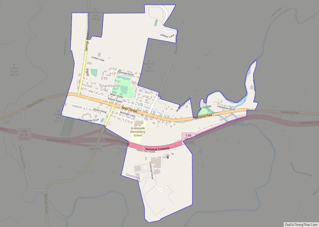
Online Interactive Map
Click on ![]() to view map in "full screen" mode.
to view map in "full screen" mode.
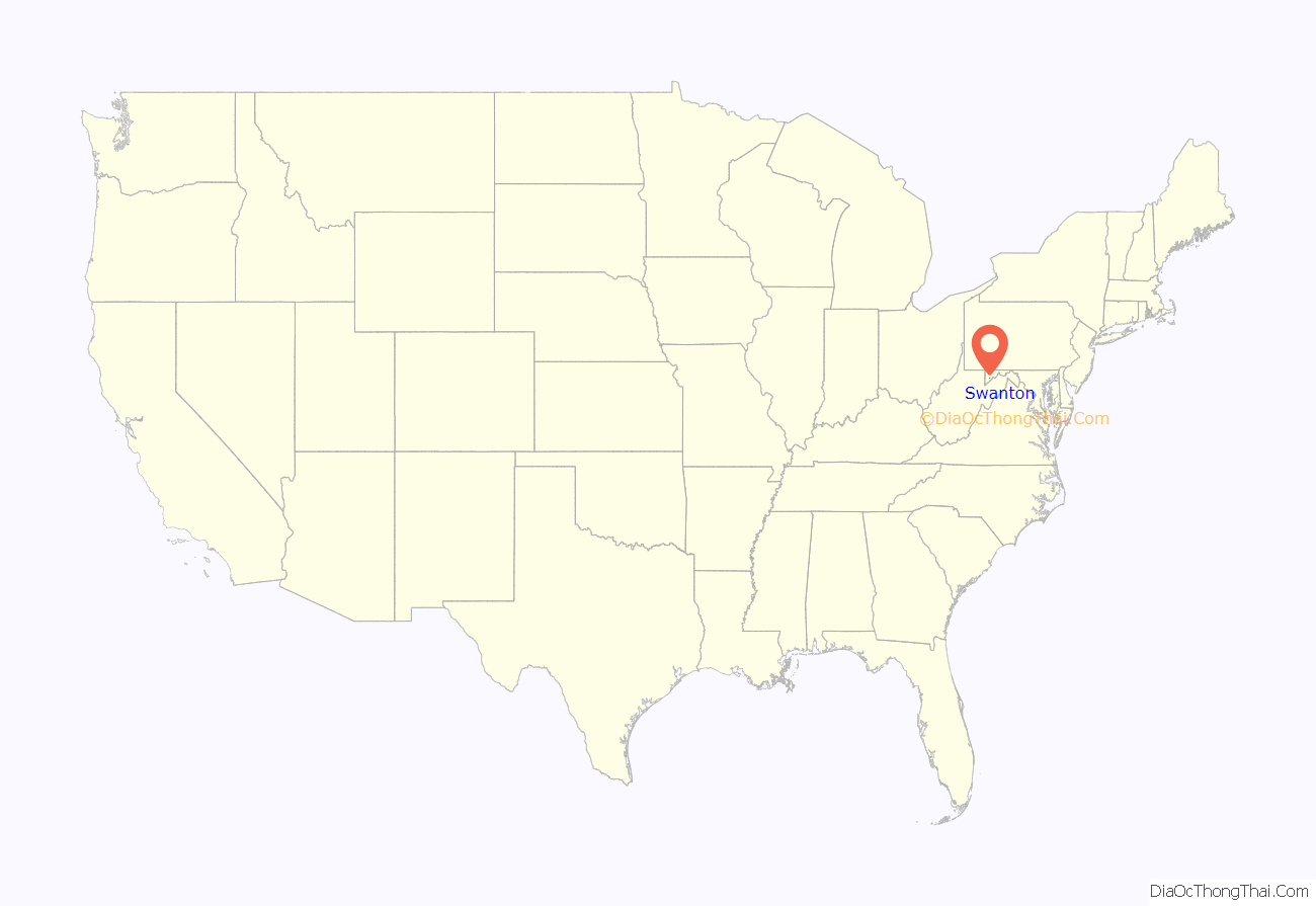
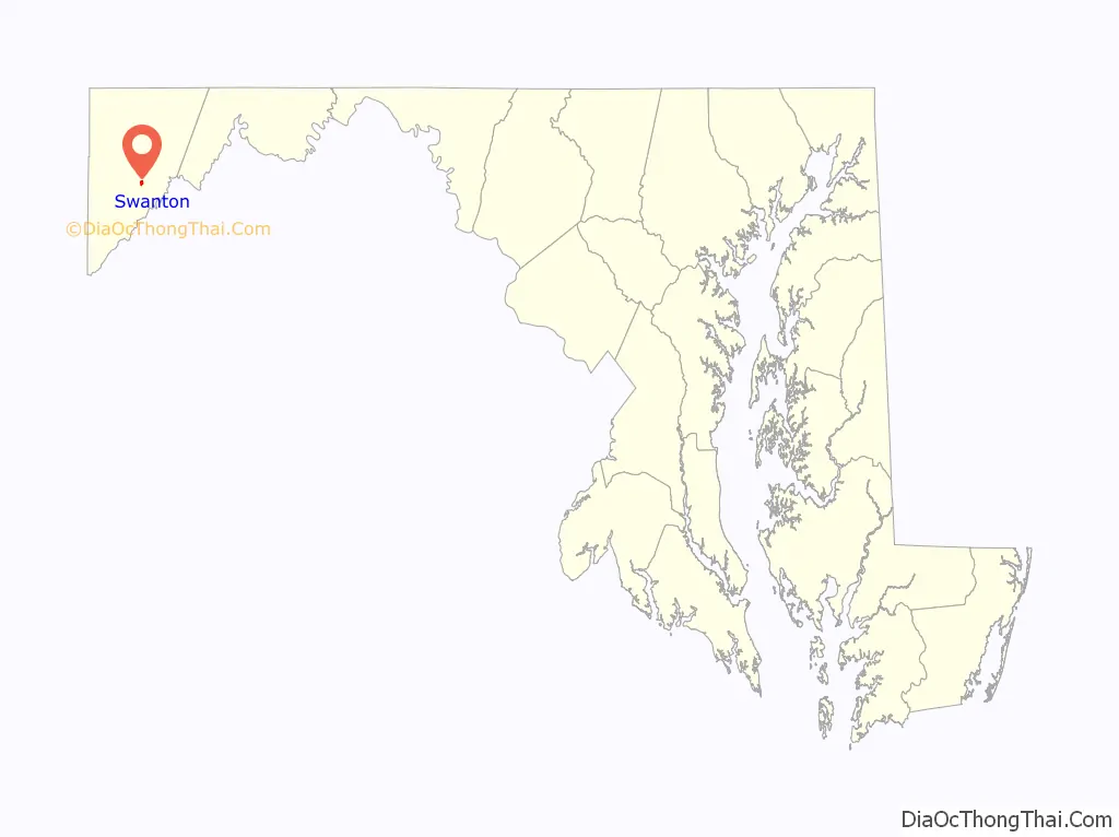
Swanton location map. Where is Swanton CDP?
Swanton Road Map
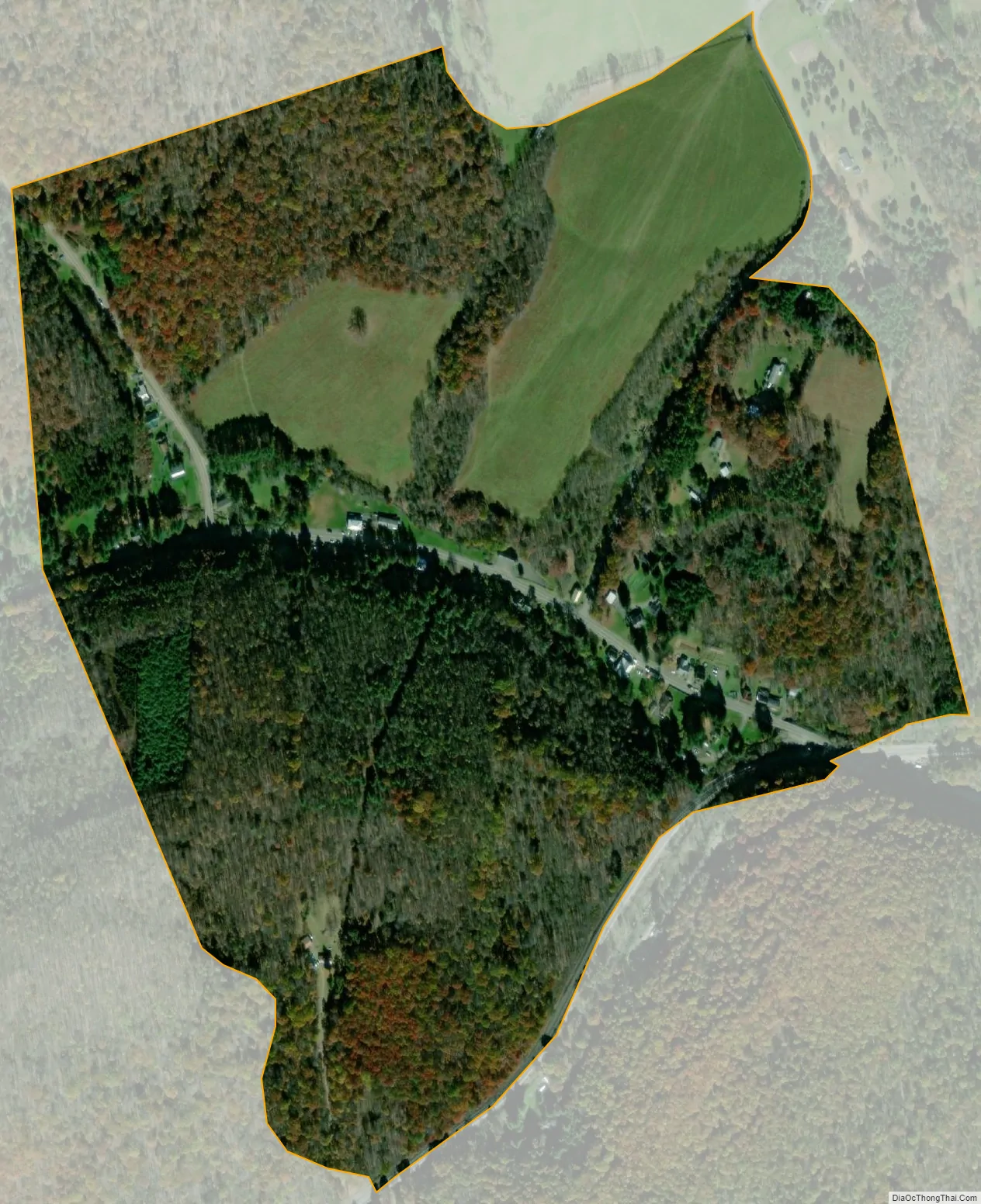
Swanton city Satellite Map
See also
Map of Maryland State and its subdivision: Map of other states:- Alabama
- Alaska
- Arizona
- Arkansas
- California
- Colorado
- Connecticut
- Delaware
- District of Columbia
- Florida
- Georgia
- Hawaii
- Idaho
- Illinois
- Indiana
- Iowa
- Kansas
- Kentucky
- Louisiana
- Maine
- Maryland
- Massachusetts
- Michigan
- Minnesota
- Mississippi
- Missouri
- Montana
- Nebraska
- Nevada
- New Hampshire
- New Jersey
- New Mexico
- New York
- North Carolina
- North Dakota
- Ohio
- Oklahoma
- Oregon
- Pennsylvania
- Rhode Island
- South Carolina
- South Dakota
- Tennessee
- Texas
- Utah
- Vermont
- Virginia
- Washington
- West Virginia
- Wisconsin
- Wyoming