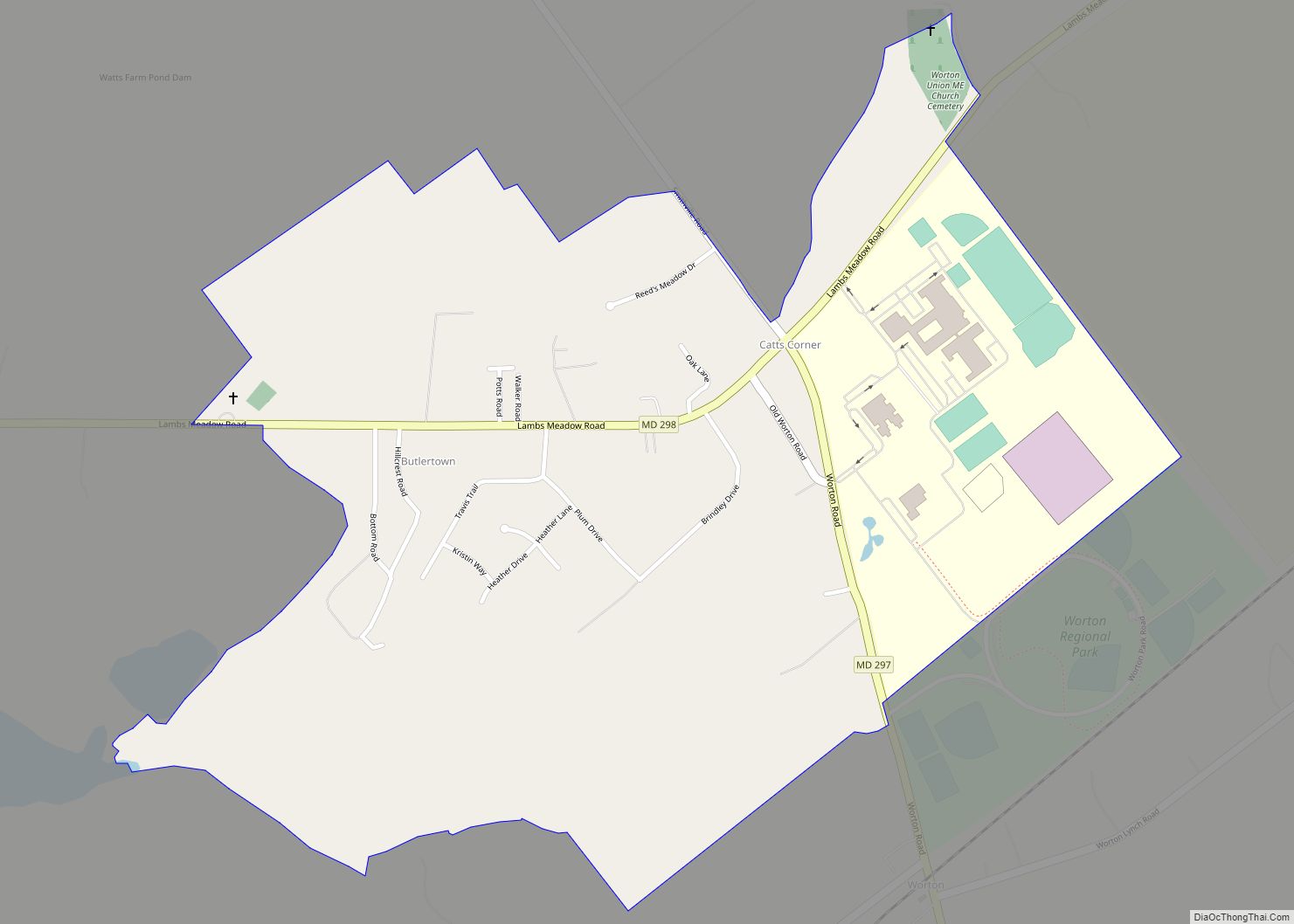
Worton is an unincorporated community and census-designated place (CDP) in Kent County, Maryland, United States. As of the 2010 census it had a population of 249.
The Christ Church, Graveyard and Sexton’s House complex was listed on the National Register of Historic Places in 1980.
| Name: | Worton CDP |
|---|---|
| LSAD Code: | 57 |
| LSAD Description: | CDP (suffix) |
| State: | Maryland |
| County: | Kent County |
| Elevation: | 72 ft (22 m) |
| Total Area: | 0.95 sq mi (2.45 km²) |
| Land Area: | 0.92 sq mi (2.39 km²) |
| Water Area: | 0.02 sq mi (0.06 km²) |
| Total Population: | 214 |
| Population Density: | 231.85/sq mi (89.55/km²) |
| ZIP code: | 21678 |
| Area code: | 410, 443, and 667 |
| FIPS code: | 2487000 |
| GNISfeature ID: | 591611 |
Online Interactive Map
Click on ![]() to view map in "full screen" mode.
to view map in "full screen" mode.
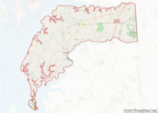
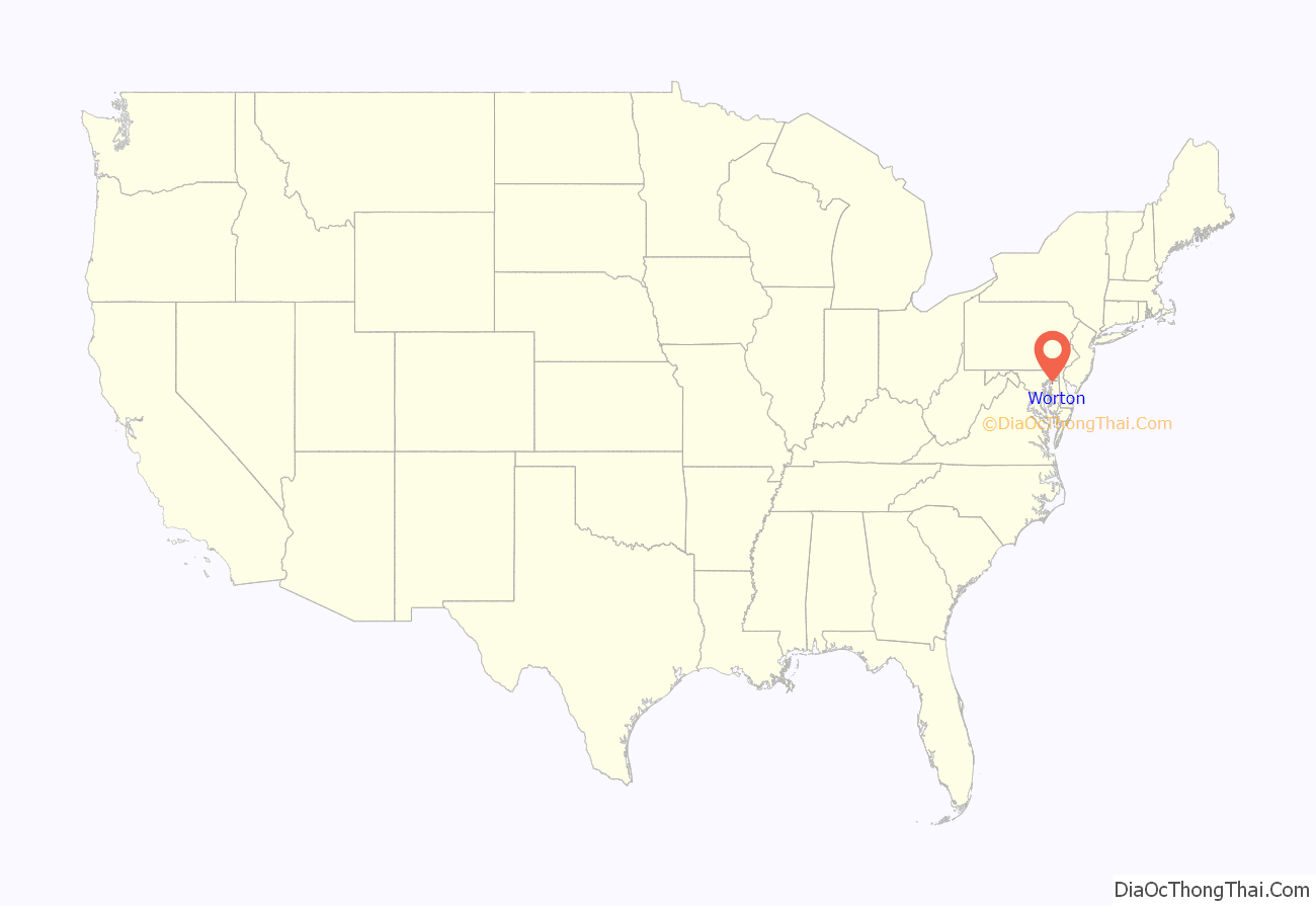
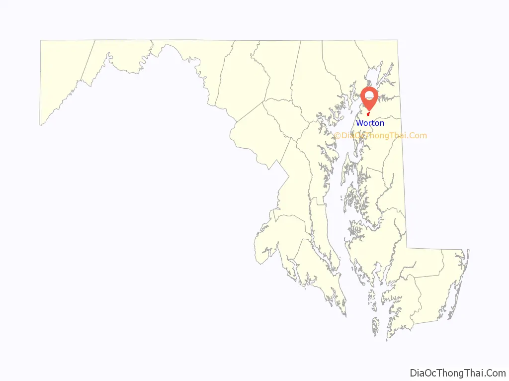
Worton location map. Where is Worton CDP?
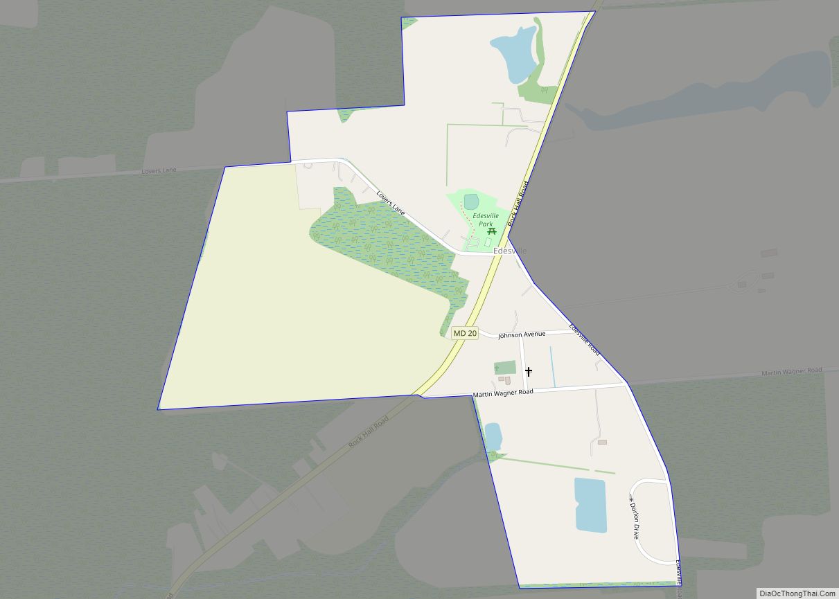
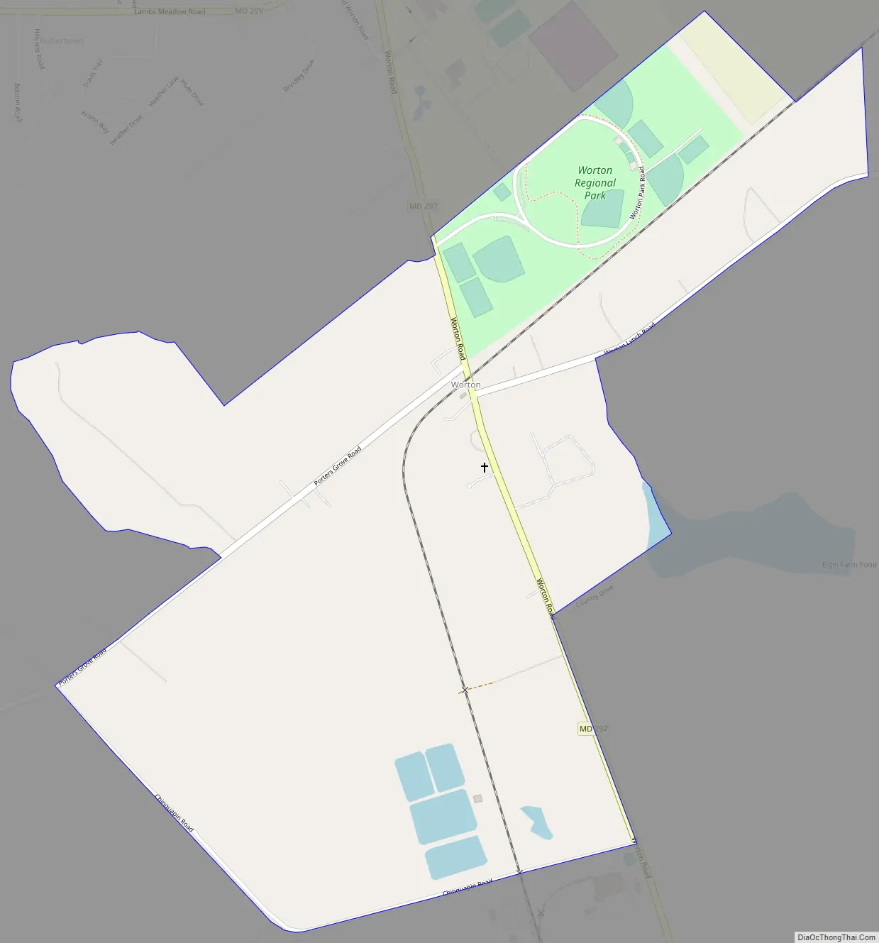
Worton Road Map
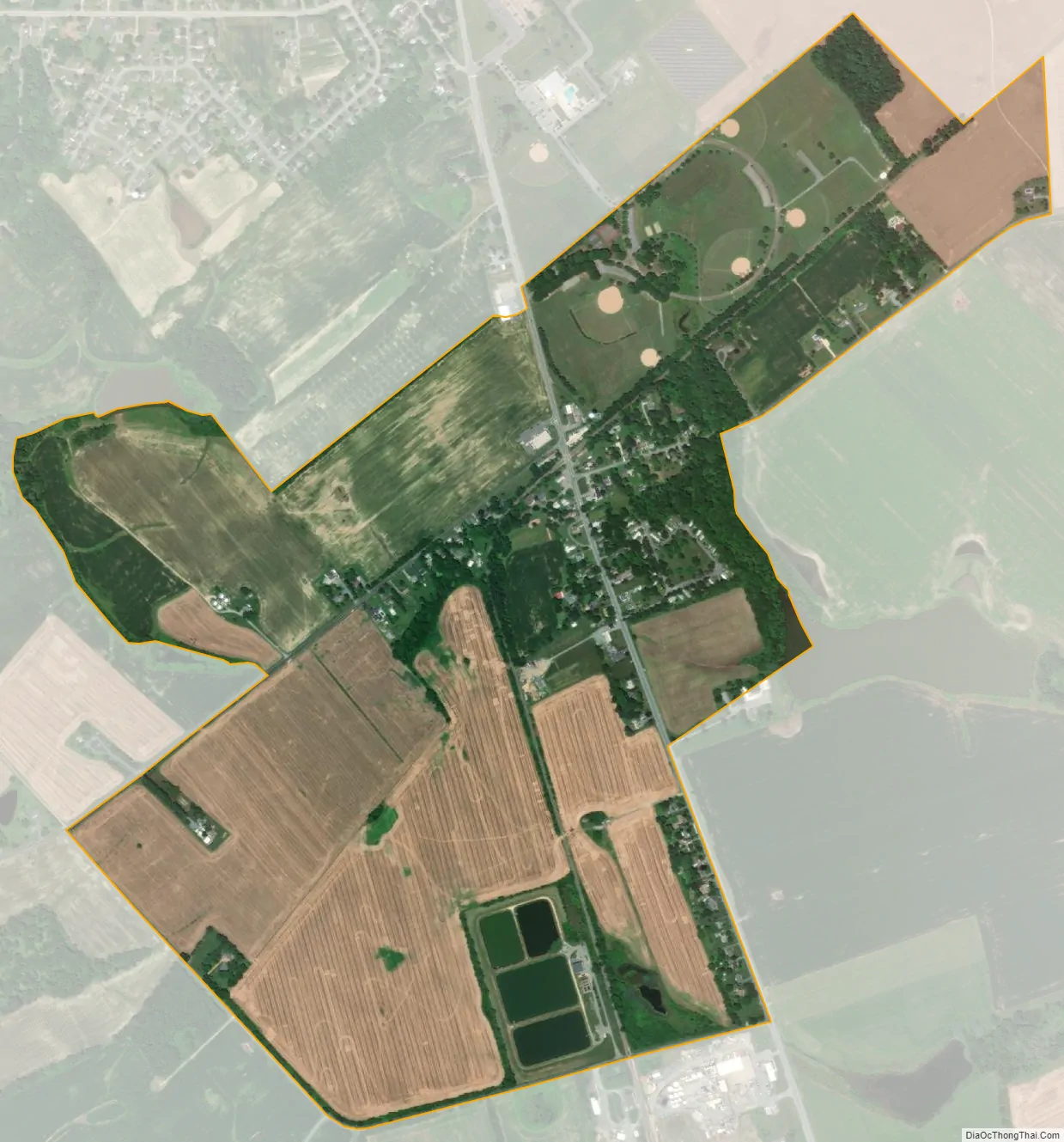
Worton city Satellite Map
Geography
Worton is located along Maryland Route 297 at the crossing of the Maryland and Delaware Railroad, 4 miles (6 km) north of Chestertown, the Kent county seat. It is bordered to the north by Butlertown. According to the U.S. Census Bureau, the Worton CDP has an area of 0.93 square miles (2.4 km), of which 0.02 square miles (0.06 km), or 2.48%, is water.
See also
Map of Maryland State and its subdivision: Map of other states:- Alabama
- Alaska
- Arizona
- Arkansas
- California
- Colorado
- Connecticut
- Delaware
- District of Columbia
- Florida
- Georgia
- Hawaii
- Idaho
- Illinois
- Indiana
- Iowa
- Kansas
- Kentucky
- Louisiana
- Maine
- Maryland
- Massachusetts
- Michigan
- Minnesota
- Mississippi
- Missouri
- Montana
- Nebraska
- Nevada
- New Hampshire
- New Jersey
- New Mexico
- New York
- North Carolina
- North Dakota
- Ohio
- Oklahoma
- Oregon
- Pennsylvania
- Rhode Island
- South Carolina
- South Dakota
- Tennessee
- Texas
- Utah
- Vermont
- Virginia
- Washington
- West Virginia
- Wisconsin
- Wyoming