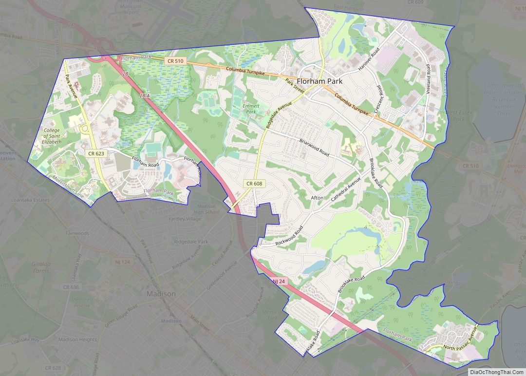
Florham Park is a borough in Morris County, in the U.S. state of New Jersey. As of the 2020 United States census, the borough’s population was 12,585, an increase of 889 (+7.6%) from the 2010 census count of 11,696, which in turn reflected an increase of 2,839 (+32.1%) from the 8,857 counted in the 2000 census.
Florham Park was incorporated as a borough by an act of the New Jersey Legislature on March 9, 1899, from portions of Chatham Township. In 2012, Forbes.com listed Florham Park as 440th in its listing of “America’s Most Expensive ZIP Codes”, with a median home price of $675,107. According to usa.com, from 2010 to 2014, the median home price was $612,400.
The National Football League’s New York Jets relocated their main headquarters in 2008 to the Atlantic Health Jets Training Center, located in Florham Park. The Jets relocated to Florham Park from their old facilities at Hofstra University in Hempstead, New York. The team holds its day-to-day operations during the year in Florham Park, while relocating during July and August to Cortland, NY for training camp. Florham Park beat out Berkeley Heights, Jersey City, Millburn, South Amboy, and Wood-Ridge, which had all been finalists contending to be the host of the new facility.
| Name: | Florham Park borough |
|---|---|
| LSAD Code: | 21 |
| LSAD Description: | borough (suffix) |
| State: | New Jersey |
| County: | Morris County |
| Incorporated: | March 9, 1899 |
| Elevation: | 217 ft (66 m) |
| Total Area: | 7.48 sq mi (19.37 km²) |
| Land Area: | 7.31 sq mi (18.94 km²) |
| Water Area: | 0.16 sq mi (0.42 km²) 2.23% |
| Total Population: | 12,585 |
| Population Density: | 1,722.1/sq mi (664.9/km²) |
| ZIP code: | 07932 |
| Area code: | 973 |
| FIPS code: | 3423910 |
| GNISfeature ID: | 0885221 |
| Website: | www.fpboro.net |
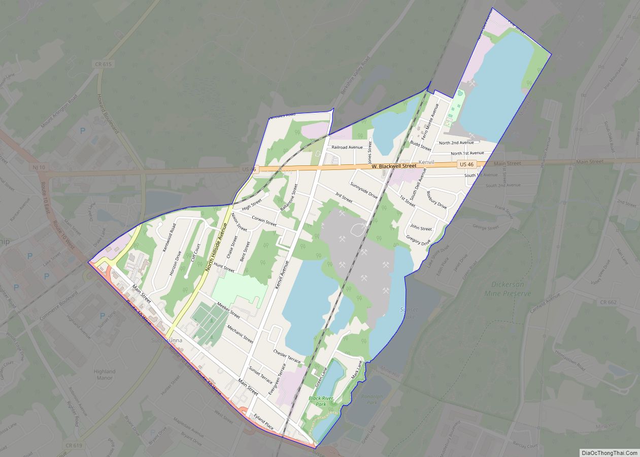
Online Interactive Map
Click on ![]() to view map in "full screen" mode.
to view map in "full screen" mode.
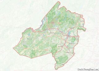
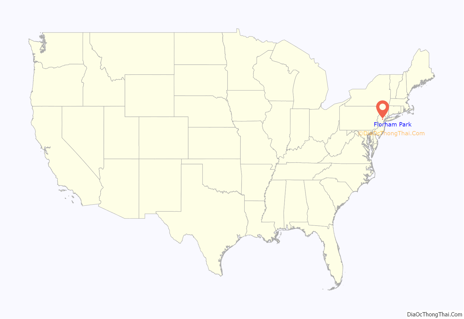
Florham Park location map. Where is Florham Park borough?
History
The area that is now Florham Park was first settled by the English sometime between 1680 and 1700, and the community was long recognized as a prime farming area. The area was known for the manufacture of quality brooms, which was the source of one of its town names, Broomtown. At various times during its history, the area was known as Hoppingtown, Broomtown, Columbia, Afton, and finally Florham Park. It was part of Hanover Township, then Chatham Township before being incorporated as Florham Park in 1899.
Florence Adele Vanderbilt Twombly (1854–1952), granddaughter of Cornelius Vanderbilt, renowned as the richest man in America, and her husband, financier, Hamilton McKown Twombly, came to the Morris County countryside in 1887, joining over 100 other millionaires who owned sprawling country retreats. They fancied an English-style country mansion in a stately park setting. “Florham,” built on 840 acres (3.4 km), one of America’s finest Gilded Age homes, was the result. The couple named their new estate “Florham,” a combination of their first names, Florence and Hamilton. The second part to the name “Florham Park” received its name from a second mansion in town that was on about 1,000 acres (4.0 km) of land situated where the current Brooklake Country Club is located. Owned by Leslie Ward—one of the founders of the Prudential Insurance Company and the first vice president of the company—it was named “Brooklake Park”, partially because of the beautiful lake that was on the property.
Both of these families were supporters of many civic projects including the petitioning of the State of New Jersey to create their own municipality. After the legislature voted on March 9, 1899, the governor signed the bill on March 20, making Florham Park a borough. The new town was named after Florence and Hamilton Twombly’s and Ward’s estates.
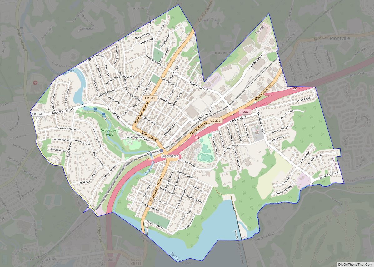
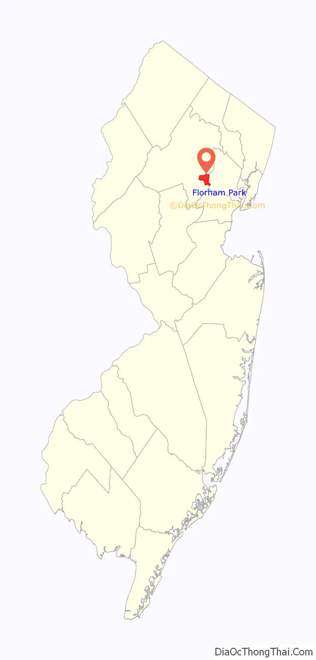
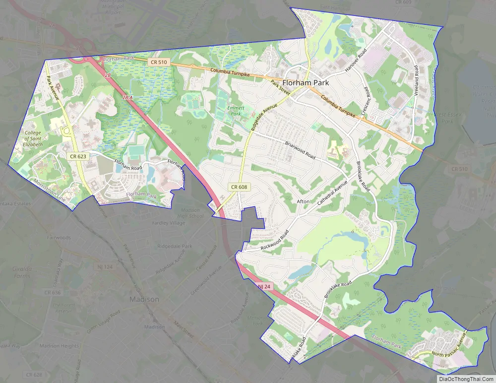
Florham Park Road Map
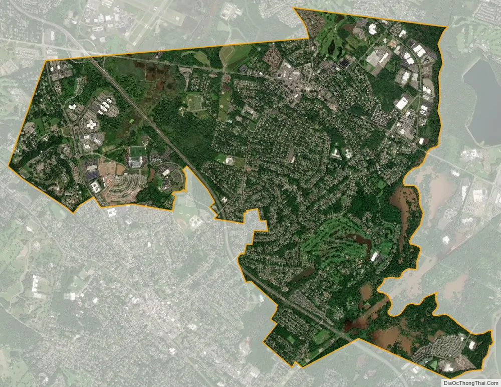
Florham Park city Satellite Map
Geography
According to the United States Census Bureau, the borough had a total area of 7.48 square miles (19.36 km), including 7.31 square miles (18.93 km) of land and 0.17 square miles (0.43 km) of water (2.23%).
Unincorporated communities, localities and place names located partially or completely within the borough include Columbia Ridge.
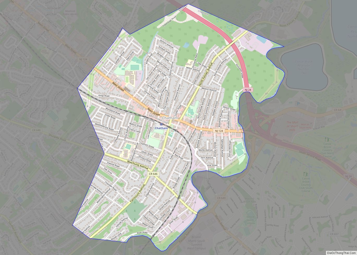
The borough is located in southeastern Morris County and is bordered to the south by Madison and Chatham Boroughs; to the north by Hanover and East Hanover Townships; to the west by Morris Township; and on the east by the Passaic River where it borders Essex County communities Livingston and Millburn Townships.
See also
Map of New Jersey State and its subdivision: Map of other states:- Alabama
- Alaska
- Arizona
- Arkansas
- California
- Colorado
- Connecticut
- Delaware
- District of Columbia
- Florida
- Georgia
- Hawaii
- Idaho
- Illinois
- Indiana
- Iowa
- Kansas
- Kentucky
- Louisiana
- Maine
- Maryland
- Massachusetts
- Michigan
- Minnesota
- Mississippi
- Missouri
- Montana
- Nebraska
- Nevada
- New Hampshire
- New Jersey
- New Mexico
- New York
- North Carolina
- North Dakota
- Ohio
- Oklahoma
- Oregon
- Pennsylvania
- Rhode Island
- South Carolina
- South Dakota
- Tennessee
- Texas
- Utah
- Vermont
- Virginia
- Washington
- West Virginia
- Wisconsin
- Wyoming