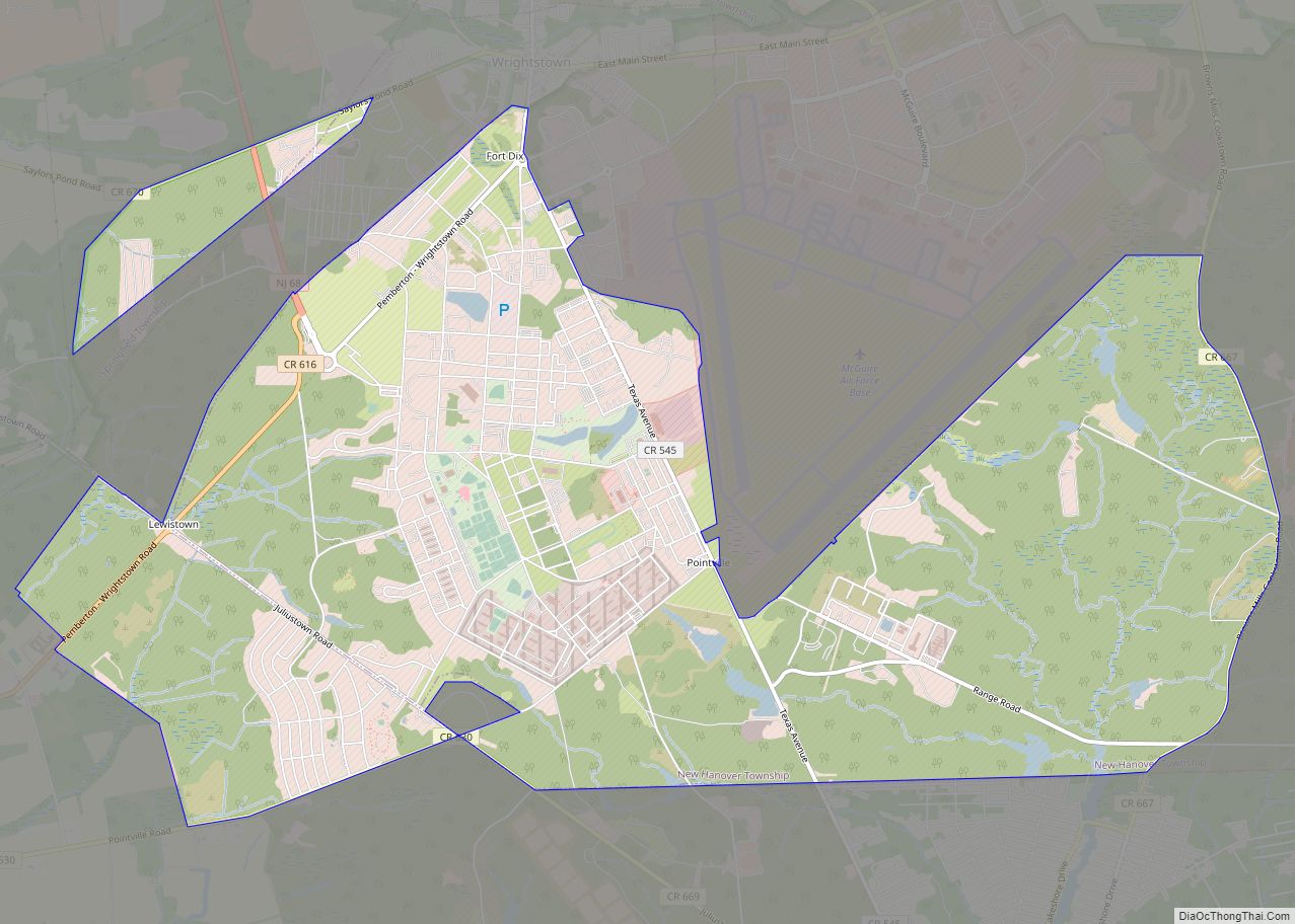
Fort Dix, the common name for the Army Support Activity (ASA) located at Joint Base McGuire–Dix–Lakehurst, is a United States Army post. It is located 16.1 miles (25.9 km) south-southeast of Trenton, New Jersey. Fort Dix is under the jurisdiction of the Air Force Air Mobility Command. As of the 2020 U.S. census, Fort Dix census-designated place (CDP) had a total population of 7,716, of which 5,951 were in New Hanover Township, 1,765 were in Pemberton Township, and none were in Springfield Township (though portions of the CDP are included there).
Established in 1917, Fort Dix was in 2009 combined with adjoining U.S. Air Force and Navy facilities to become Joint Base McGuire-Dix-Lakehurst (JB MDL) in 2009. However, it remains commonly known as “Fort Dix”, “ASA Dix”, or “Dix”.
During 2015 to 2016, Colonel Shelley Balderson was commander, making her the first female commander of Fort Dix in the base’s century-long history.
| Name: | Fort Dix CDP |
|---|---|
| LSAD Code: | 57 |
| LSAD Description: | CDP (suffix) |
| State: | New Jersey |
| County: | Burlington County |
| FIPS code: | 3424300 |
Online Interactive Map
Click on ![]() to view map in "full screen" mode.
to view map in "full screen" mode.
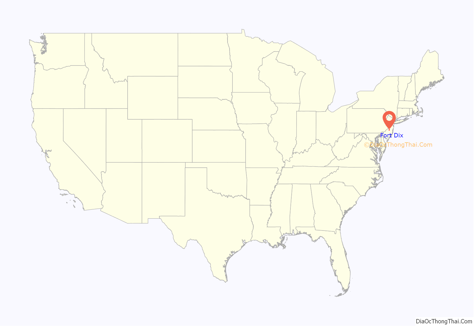
Fort Dix location map. Where is Fort Dix CDP?
History
Construction began in June 1917. Camp Dix, as it was known at the time, was a training and staging ground for units during World War I. Though the camp was an embarkation camp for the New York Port of Embarkation, it did not fall under the direct control of that command, with the War Department retaining direct jurisdiction. The camp became a demobilization center after the war. Between the World Wars, Camp Dix was a reception, training, and discharge center for the Civilian Conservation Corps. Camp Dix became Fort Dix on 8 March 1939, and the installation became a permanent Army post. During and after World War II, the fort served the same purpose as in the First World War, serving as a training and staging ground during the war and a demobilization center after the war.
On 15 July 1947, Fort Dix became a basic-training center and the home of the 9th Infantry Division. In 1954, the 9th moved out and the 69th Infantry Division made the fort home until it was deactivated on 16 March 1956. During the Vietnam War, rapid expansion took place. A mock Vietnamese village was constructed, and soldiers received Vietnam-specific training before being deployed. Since Vietnam, Fort Dix has sent soldiers to Operation Desert Shield, Desert Storm, Bosnia, Afghanistan, and Iraq.
U.S. Coast Guard site
The Atlantic Strike Team (AST) of the U.S. Coast Guard is based at Fort Dix. As part of the Department of Homeland Security, the AST is responsible for responding to oil-pollution and hazardous-materials release incidents to protect public health and the environment.
Federal Correctional Institution
Fort Dix is also home to Fort Dix Federal Correctional Institution, the largest single federal prison. It is a low-security installation for male inmates located within the military installation. As of 19 November 2009, it housed 4,310 inmates, and a minimum-security satellite camp housed an additional 426.
Fort Dix Road Map
Fort Dix city Satellite Map
Geography
According to the United States Census Bureau, Fort Dix had a total area of 10.389 square miles (26.909 km), of which 0.127 square mile (0.329 km) is covered by water (1.22%).
Climate
The climate in this area is characterized by hot, humid summers and generally mild to cool winters. According to the Köppen climate classification, Fort Dix has a humid subtropical climate, Cfa on climate maps.
See also
Map of New Jersey State and its subdivision: Map of other states:- Alabama
- Alaska
- Arizona
- Arkansas
- California
- Colorado
- Connecticut
- Delaware
- District of Columbia
- Florida
- Georgia
- Hawaii
- Idaho
- Illinois
- Indiana
- Iowa
- Kansas
- Kentucky
- Louisiana
- Maine
- Maryland
- Massachusetts
- Michigan
- Minnesota
- Mississippi
- Missouri
- Montana
- Nebraska
- Nevada
- New Hampshire
- New Jersey
- New Mexico
- New York
- North Carolina
- North Dakota
- Ohio
- Oklahoma
- Oregon
- Pennsylvania
- Rhode Island
- South Carolina
- South Dakota
- Tennessee
- Texas
- Utah
- Vermont
- Virginia
- Washington
- West Virginia
- Wisconsin
- Wyoming
