Garwood is a borough in Union County, in the U.S. state of New Jersey. As of the 2020 United States census, the borough’s population was 4,454, an increase of 228 (+5.4%) from the 2010 census count of 4,226, which in turn reflected an increase of 73 (+1.8%) from the 4,153 counted in the 2000 census.
| Name: | Garwood borough |
|---|---|
| LSAD Code: | 21 |
| LSAD Description: | borough (suffix) |
| State: | New Jersey |
| County: | Union County |
| Incorporated: | March 19, 1903 |
| Elevation: | 82 ft (25 m) |
| Total Area: | 0.65 sq mi (1.68 km²) |
| Land Area: | 0.65 sq mi (1.68 km²) |
| Water Area: | 0.00 sq mi (0.00 km²) 0.00% |
| Total Population: | 4,454 |
| Population Density: | 6,848.2/sq mi (2,644.1/km²) |
| ZIP code: | 07027 |
| Area code: | 908 |
| FIPS code: | 3425800 |
| GNISfeature ID: | 0885229 |
| Website: | www.garwood.org |
Online Interactive Map
Click on ![]() to view map in "full screen" mode.
to view map in "full screen" mode.
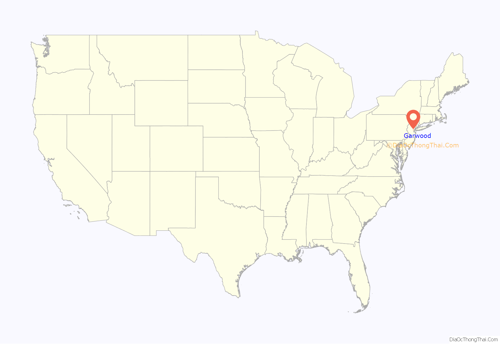
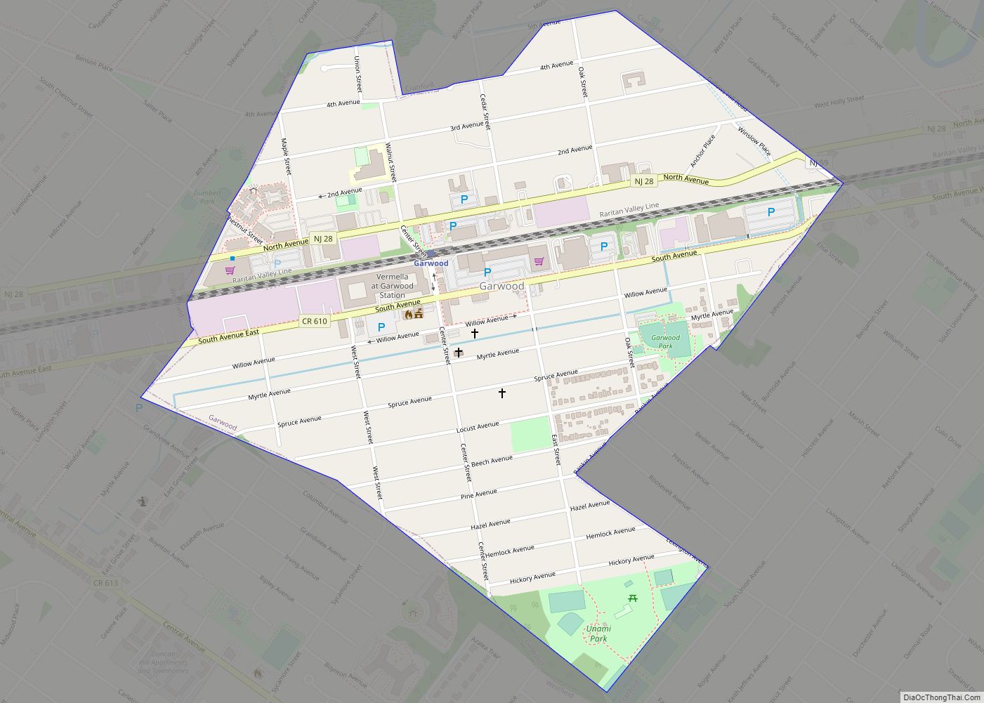
Garwood location map. Where is Garwood borough?
History
Garwood was incorporated as a borough on March 19, 1903, from portions of Cranford and Westfield Town.
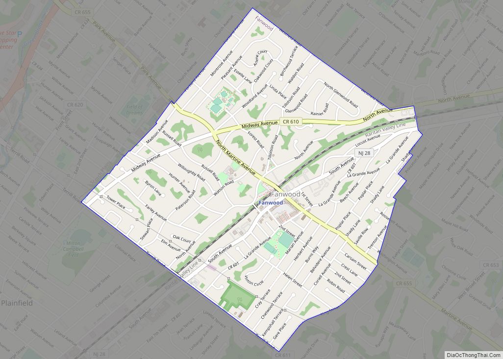
Garwood Road Map
Garwood city Satellite Map
Geography
According to the United States Census Bureau, the borough had a total area of 0.65 square miles (1.68 km), all of which was land.
The borough is roughly bisected by the tracks of NJ Transit’s Raritan Valley Line, originally built as part of the Jersey Central railroad. On the north side of the railroad, most of the streets are numbered, while on the south side of Garwood most of the streets are named after trees.
Garwood borders the Union County municipalities of Cranford and Westfield.
See also
Map of New Jersey State and its subdivision: Map of other states:- Alabama
- Alaska
- Arizona
- Arkansas
- California
- Colorado
- Connecticut
- Delaware
- District of Columbia
- Florida
- Georgia
- Hawaii
- Idaho
- Illinois
- Indiana
- Iowa
- Kansas
- Kentucky
- Louisiana
- Maine
- Maryland
- Massachusetts
- Michigan
- Minnesota
- Mississippi
- Missouri
- Montana
- Nebraska
- Nevada
- New Hampshire
- New Jersey
- New Mexico
- New York
- North Carolina
- North Dakota
- Ohio
- Oklahoma
- Oregon
- Pennsylvania
- Rhode Island
- South Carolina
- South Dakota
- Tennessee
- Texas
- Utah
- Vermont
- Virginia
- Washington
- West Virginia
- Wisconsin
- Wyoming
