Island Heights is a borough in Ocean County, in the U.S. state of New Jersey. As of the 2020 United States census, the borough’s population was 1,650, a decrease of 23 (−1.4%) from the 2010 census count of 1,673, which in turn reflected a decline of 78 (−4.5%) from the 1,751 counted in the 2000 census.
The borough is a dry town where alcohol cannot legally be sold.
| Name: | Island Heights borough |
|---|---|
| LSAD Code: | 21 |
| LSAD Description: | borough (suffix) |
| State: | New Jersey |
| County: | Ocean County |
| Incorporated: | May 6, 1887 |
| Elevation: | 36 ft (11 m) |
| Total Area: | 0.92 sq mi (2.38 km²) |
| Land Area: | 0.61 sq mi (1.58 km²) |
| Water Area: | 0.31 sq mi (0.80 km²) 33.59% |
| Total Population: | 1,650 |
| Population Density: | 2,709.7/sq mi (1,046.2/km²) |
| ZIP code: | 08732 |
| Area code: | 732 |
| FIPS code: | 3434530 |
| GNISfeature ID: | 0885262 |
| Website: | www.islandheightsborough.gov |
Online Interactive Map
Click on ![]() to view map in "full screen" mode.
to view map in "full screen" mode.
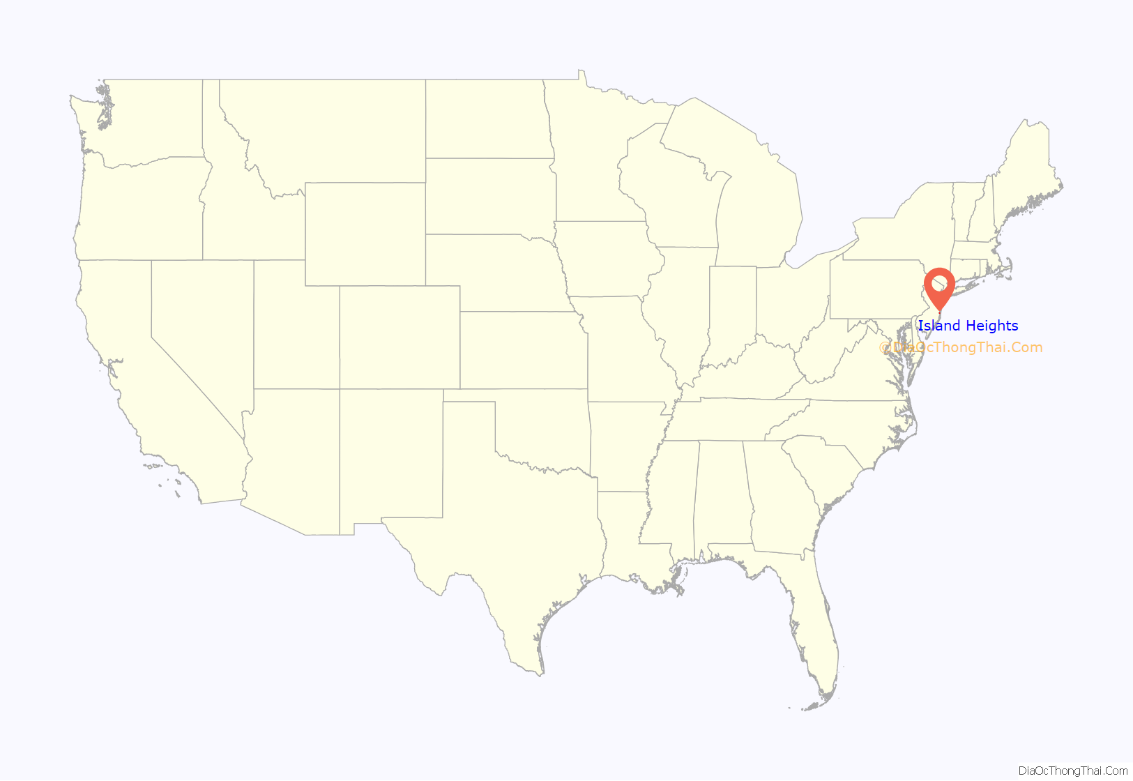
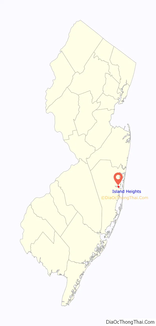
Island Heights location map. Where is Island Heights borough?
History
Island Heights was incorporated as a borough by an act of the New Jersey Legislature on May 6, 1887, from portions of Dover Township (now Toms River Township), based on the results of a referendum held on November 18, 1886.
Island Heights takes its name from two sources: it originally was an island. It is situated by a steep bluff rising 60 feet (18 m) above the Toms River. It was originally known as Doctor Johnson’s island, being included in the patent granted to him in 1680. In the century before the American Revolutionary War, it was known as Dillon’s Island, probably for James Dillon, a prominent man in Toms River. The land was purchased by John Imlay of Allentown, who sold it in 1794 to Issac Gulick. In 1797, Gulick and his wife Abagail sold it to Abraham and George Parker. In 1799, the Parker brothers sold it to Abel Middleton of Upper Freehold Township.
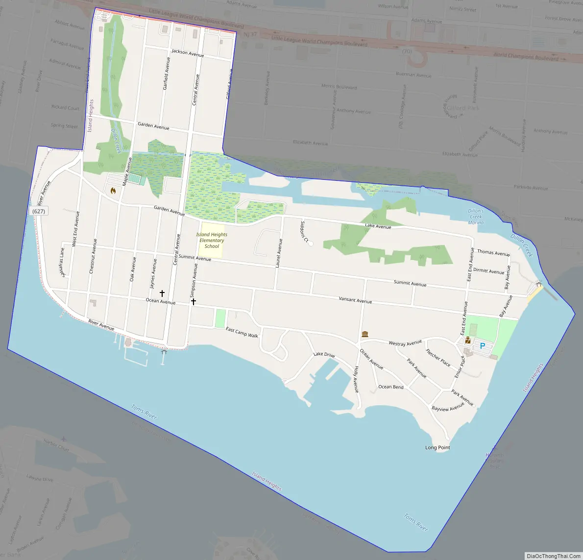
Island Heights Road Map
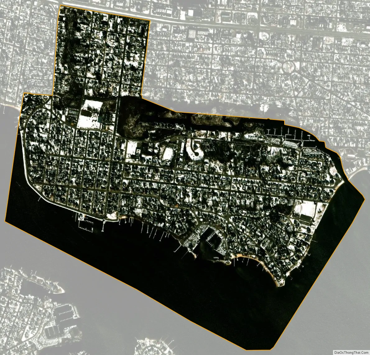
Island Heights city Satellite Map
Geography
According to the United States Census Bureau, the borough had a total area of 0.92 square miles (2.38 km), including 0.61 square miles (1.58 km) of land and 0.31 square miles (0.80 km) of water (33.59%).
Unincorporated communities, localities and place names located partially or completely within the borough include Long Point.
The borough borders the Ocean County municipalities of Berkeley Township and Toms River Township.
The borough is one of 11 municipalities in Ocean County that are part of the Toms River watershed.
See also
Map of New Jersey State and its subdivision: Map of other states:- Alabama
- Alaska
- Arizona
- Arkansas
- California
- Colorado
- Connecticut
- Delaware
- District of Columbia
- Florida
- Georgia
- Hawaii
- Idaho
- Illinois
- Indiana
- Iowa
- Kansas
- Kentucky
- Louisiana
- Maine
- Maryland
- Massachusetts
- Michigan
- Minnesota
- Mississippi
- Missouri
- Montana
- Nebraska
- Nevada
- New Hampshire
- New Jersey
- New Mexico
- New York
- North Carolina
- North Dakota
- Ohio
- Oklahoma
- Oregon
- Pennsylvania
- Rhode Island
- South Carolina
- South Dakota
- Tennessee
- Texas
- Utah
- Vermont
- Virginia
- Washington
- West Virginia
- Wisconsin
- Wyoming


