Allentown is a borough, located in western Monmouth County, in the U.S. state of New Jersey, bordering nearby Mercer County. As of the 2020 United States census, the borough’s population was 1,734, a decrease of 94 (−5.1%) from the 2010 census count of 1,828, which in turn reflected a decline of 54 (−2.9%) from the 1,882 counted in the 2000 census. The borough is nestled within central New Jersey, and is roughly equidistant between New York City and Philadelphia.
| Name: | Allentown borough |
|---|---|
| LSAD Code: | 21 |
| LSAD Description: | borough (suffix) |
| State: | New Jersey |
| County: | Monmouth County |
| Incorporated: | January 29, 1889 |
| Elevation: | 75 ft (23 m) |
| Total Area: | 0.62 sq mi (1.61 km²) |
| Land Area: | 0.60 sq mi (1.54 km²) |
| Water Area: | 0.03 sq mi (0.06 km²) 4.03% |
| Total Population: | 1,734 |
| Population Density: | 2,908.5/sq mi (1,123.0/km²) |
| ZIP code: | 08501 |
| FIPS code: | 3400760 |
| GNISfeature ID: | 0885137 |
| Website: | www.allentownboronj.com |
Online Interactive Map
Click on ![]() to view map in "full screen" mode.
to view map in "full screen" mode.
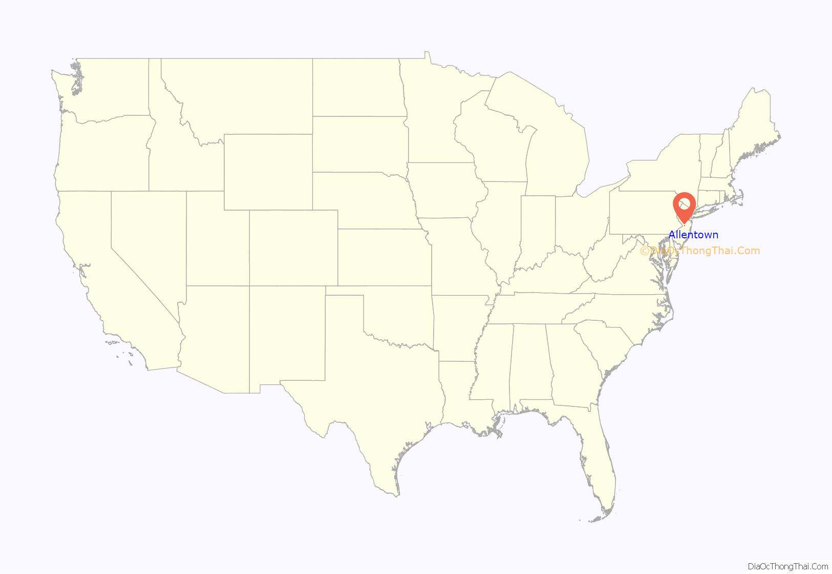
Allentown location map. Where is Allentown borough?

History
Allentown was incorporated as a borough by an act of the New Jersey Legislature on January 29, 1889, from portions of Upper Freehold Township, based on the results of a referendum held that day. The borough was named for settler Robert Burnet’s son-in-law, Nathan Allen or for William Allen, who served as Chief Justice of the Province of Pennsylvania.
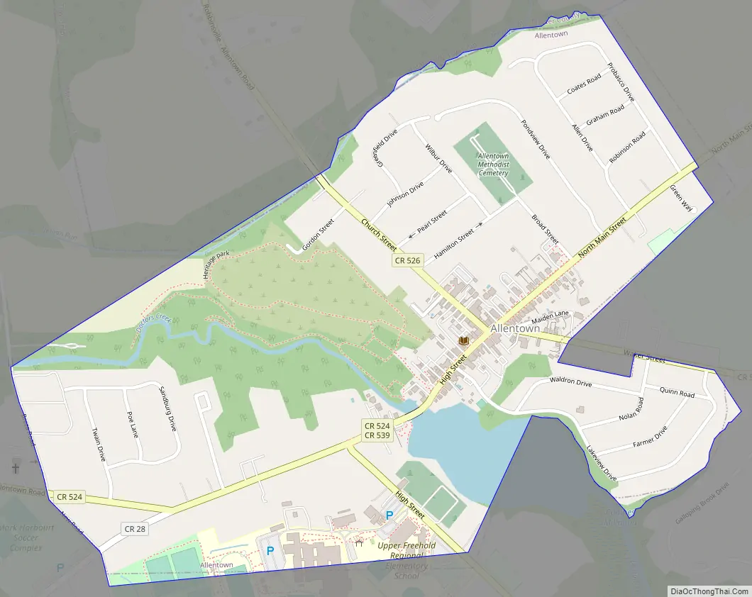
Allentown Road Map
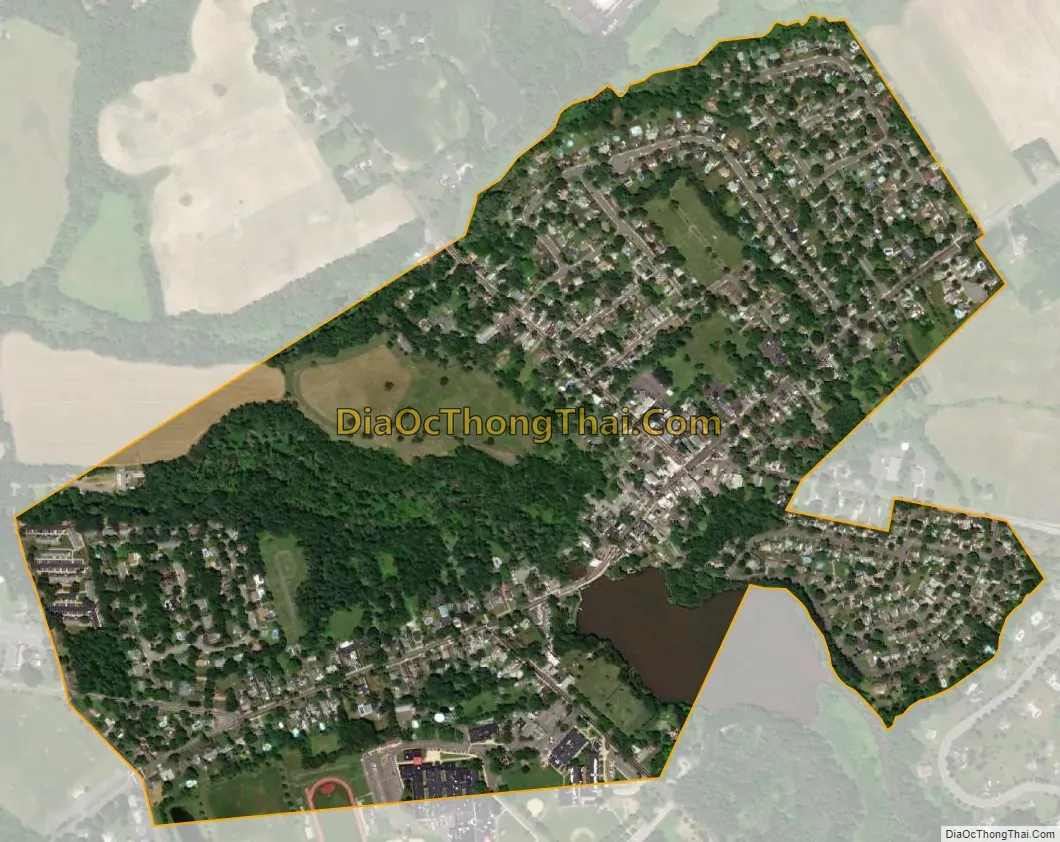
Allentown city Satellite Map
Geography
According to the U.S. Census Bureau, the borough had a total area of 0.62 square miles (1.61 km), including 0.60 square miles (1.54 km) of land and 0.03 square miles (0.06 km) of water (4.03%).
Allentown borders the municipalities of Upper Freehold Township in Monmouth County and Robbinsville Township in Mercer County.
See also
Map of New Jersey State and its subdivision: Map of other states:- Alabama
- Alaska
- Arizona
- Arkansas
- California
- Colorado
- Connecticut
- Delaware
- District of Columbia
- Florida
- Georgia
- Hawaii
- Idaho
- Illinois
- Indiana
- Iowa
- Kansas
- Kentucky
- Louisiana
- Maine
- Maryland
- Massachusetts
- Michigan
- Minnesota
- Mississippi
- Missouri
- Montana
- Nebraska
- Nevada
- New Hampshire
- New Jersey
- New Mexico
- New York
- North Carolina
- North Dakota
- Ohio
- Oklahoma
- Oregon
- Pennsylvania
- Rhode Island
- South Carolina
- South Dakota
- Tennessee
- Texas
- Utah
- Vermont
- Virginia
- Washington
- West Virginia
- Wisconsin
- Wyoming


