Laurence Harbor is an unincorporated community and census-designated place (CDP) located on the Raritan Bay within Old Bridge Township, in Middlesex County, New Jersey, United States. As of the 2020 United States census, the CDP’s population was 6,635, an increase of 99 (+1.5%) from the 6,536 recorded at the 2010 census, which in turn had reflected an increase of 309 (+5.0%) from the 6,227 counted at the 2000 census.
| Name: | Laurence Harbor CDP |
|---|---|
| LSAD Code: | 57 |
| LSAD Description: | CDP (suffix) |
| State: | New Jersey |
| County: | Middlesex County |
| Elevation: | 30 ft (9 m) |
| Total Area: | 3.00 sq mi (7.78 km²) |
| Land Area: | 2.95 sq mi (7.64 km²) |
| Water Area: | 0.06 sq mi (0.14 km²) 1.90% |
| Total Population: | 6,635 |
| Population Density: | 2,249.9/sq mi (868.7/km²) |
| ZIP code: | 08879 |
| Area code: | 732 |
| FIPS code: | 3439360 |
| GNISfeature ID: | 02390040 |
Online Interactive Map
Click on ![]() to view map in "full screen" mode.
to view map in "full screen" mode.
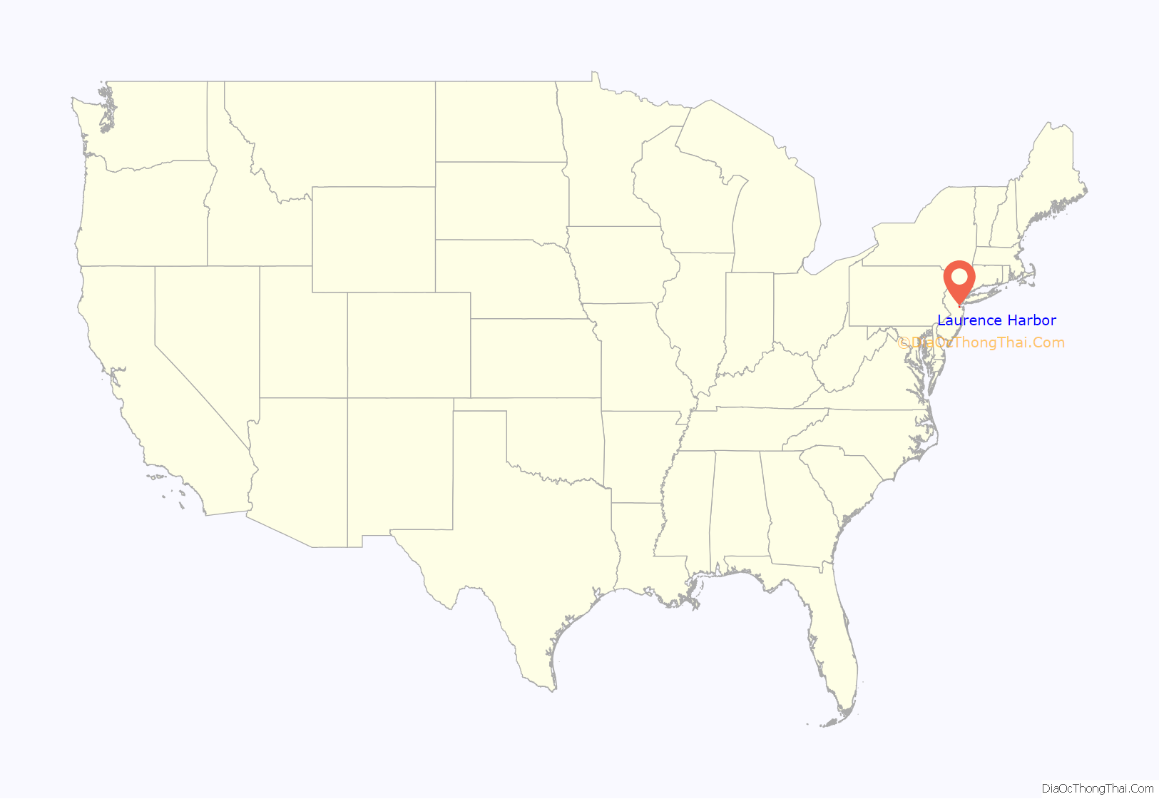
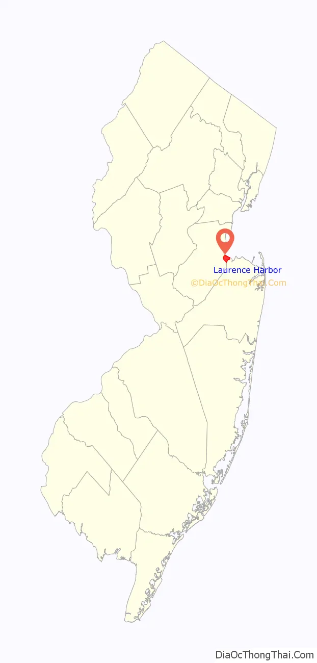
Laurence Harbor location map. Where is Laurence Harbor CDP?
History
The lands known today as Laurence Harbor were part of the southernmost region inhabited by the Lenni Lenape tribe (also known as the Delaware) in the 17th century. In 1664, they became part of greater East Jersey, and in 1684 became part of a South Amboy, which was much larger than it is today. In 1869, Madison Township split off from South Amboy; it was renamed Old Bridge Township in 1975.
European settlement of the area was linked to commerce passing through the Amboys along the Raritan River. From a military perspective, the area was useful for its high bayside cliffs, which allowed strategic observation of ships traveling between New York Harbor and the Atlantic Ocean.
Laurence Harbor is named after land developer Laurence Lamb, who bought property in (what was then known as) Madison Township at the turn of the 20th century and subdivided it into bungalow-sized lots. Lamb established a 400-acre (1.6 km) shorefront golf and country club on the site. Among those who frequented Mr. Lamb’s establishment were Clark Gable, Guy Lombardo, the Prince of Wales and the Vanderbilts, who came to party and eat chingarora oysters, for which Raritan Bay was then famous. In 1928, the golf club was sold to developers for the above-mentioned construction of bungalows. A boardwalk, complete with a dance hall, casino, band shell, concession stands and a merry-go-round that played only one song, Let’s Remember Pearl Harbor, provided entertainment, hot dogs and ice cream during the 1940s.
For those traveling south from North Jersey or New York, it was the first stretch of Jersey Shore beachfront before reaching Keansburg or Asbury Park.
According to a local historian who grew up in Old Bridge Township, the area was also used during Prohibition by rum runners who would lower their cargo of bootleg liquor overboard into the bay to be hauled ashore by local fishermen.
The Ochwald Brickworks, a brickyard, operated in the area where the Bridgepointe townhouses now stand. The brick plant began operation in the early 1900s and continued to the early 1960s. Its 60 workers produced more than 84,000 bricks per day. Nothing remains of the plant as all was demolished for residential dwellings.
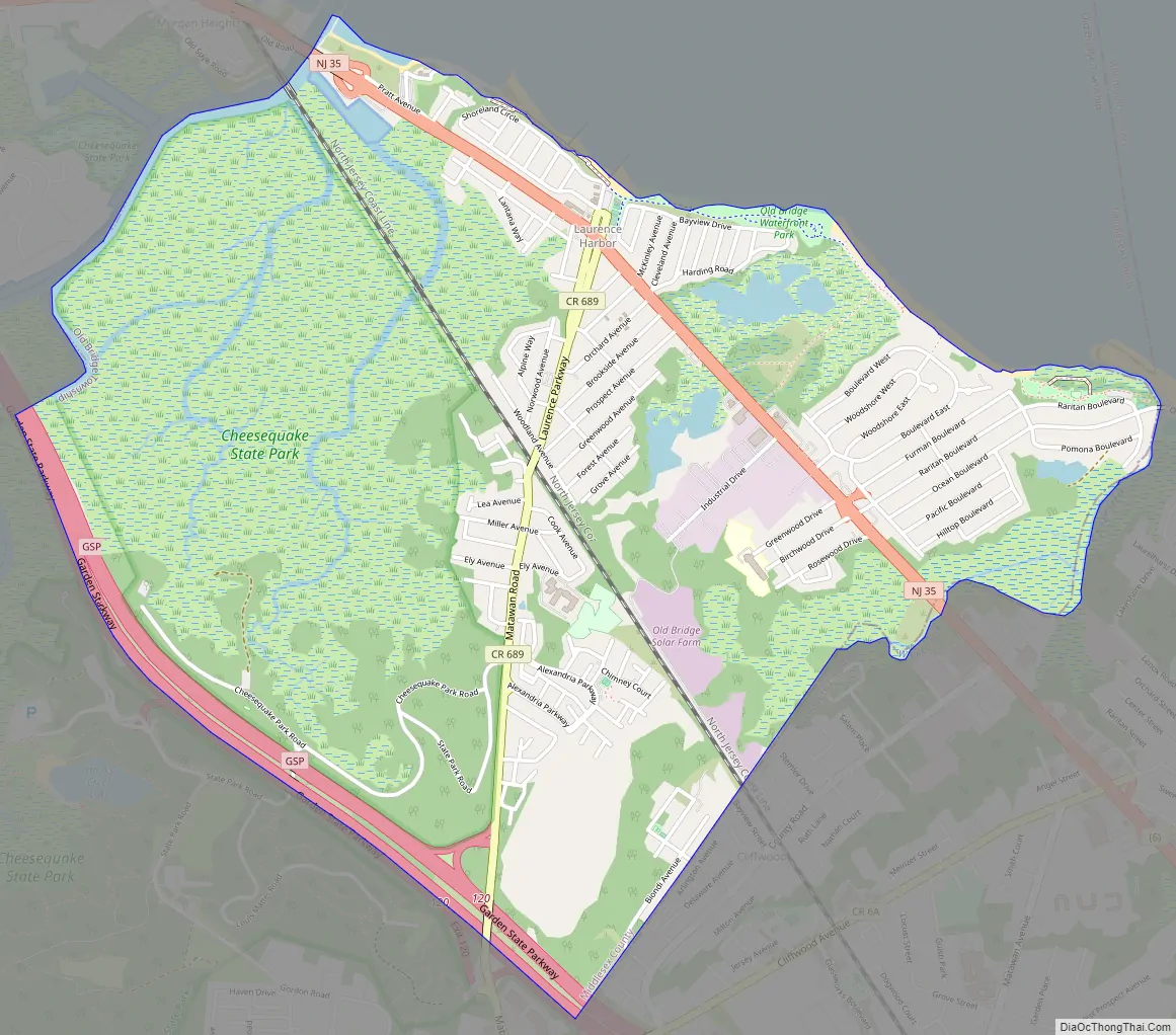
Laurence Harbor Road Map
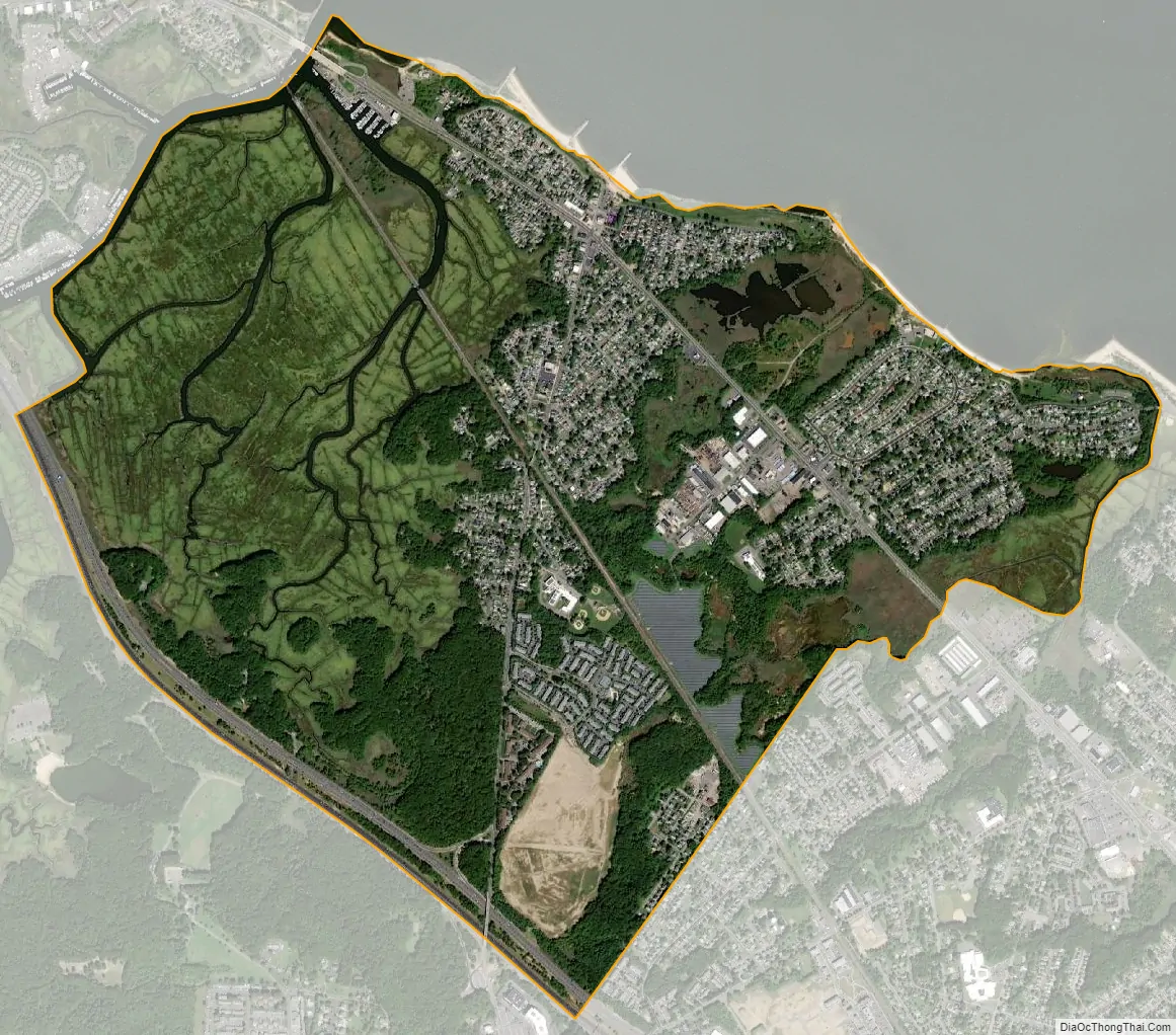
Laurence Harbor city Satellite Map
Geography
According to the United States Census Bureau, the CDP had a total area of 2.953 square miles (7.648 km), including 2.897 square miles (7.503 km) of land and 0.056 square miles (0.145 km) of water (1.90%).
The CDP is located off Exit 120 of the Garden State Parkway. The main routes are Laurence Parkway and Route 35. The railroad, which no longer has a station in Laurence Harbor (It had a Morgan station during most of the 1st half of the 20th century, located right across Cheesequake Creek from Laurence Harbor), divides the community into eastern and western sections, the former being locally referred to as ‘The Front’. Cliffwood Beach also borders Laurence Harbor when traveling south.
The shoreline looks directly upon Staten Island‘s southern shore; the Verrazzano-Narrows Bridge, Lower Manhattan (including the Empire State Building, on a clear night) and Brooklyn can also be seen.
See also
Map of New Jersey State and its subdivision: Map of other states:- Alabama
- Alaska
- Arizona
- Arkansas
- California
- Colorado
- Connecticut
- Delaware
- District of Columbia
- Florida
- Georgia
- Hawaii
- Idaho
- Illinois
- Indiana
- Iowa
- Kansas
- Kentucky
- Louisiana
- Maine
- Maryland
- Massachusetts
- Michigan
- Minnesota
- Mississippi
- Missouri
- Montana
- Nebraska
- Nevada
- New Hampshire
- New Jersey
- New Mexico
- New York
- North Carolina
- North Dakota
- Ohio
- Oklahoma
- Oregon
- Pennsylvania
- Rhode Island
- South Carolina
- South Dakota
- Tennessee
- Texas
- Utah
- Vermont
- Virginia
- Washington
- West Virginia
- Wisconsin
- Wyoming


