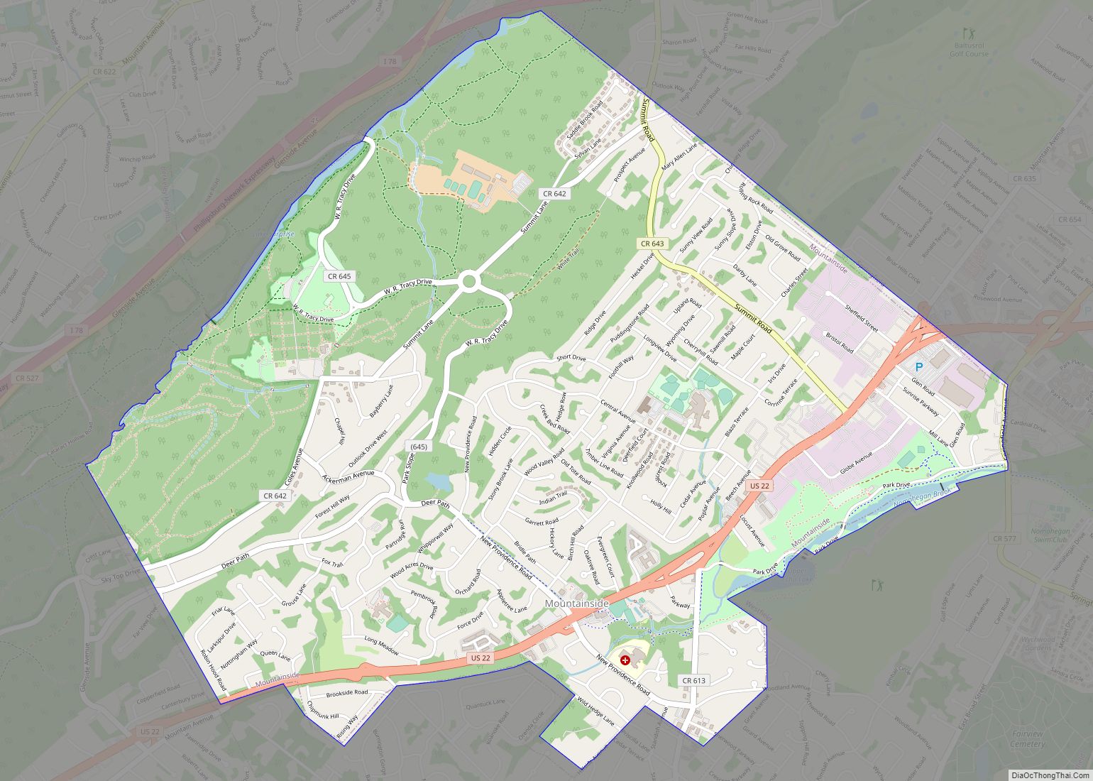
Mountainside is a borough in Union County, in the U.S. state of New Jersey. The borough is located on a ridge in northern-central New Jersey, within the Raritan Valley and Rahway Valley regions in the New York metropolitan area. As of the 2020 United States census, the borough’s population was 7,020, an increase of 335 (+5.0%) from the 2010 census count of 6,685, which in turn reflected an increase of 83 (+1.3%) from the 6,602 counted in the 2000 census.
Mountainside was incorporated as a borough on September 25, 1895, from portions of Westfield Township, based on the results of a referendum held the previous day.
New Jersey Monthly magazine ranked Mountainside as its 16th best place to live in its 2008 rankings of the “Best Places To Live” in New Jersey, as well as eighth in the 2010 list.
| Name: | Mountainside borough |
|---|---|
| LSAD Code: | 21 |
| LSAD Description: | borough (suffix) |
| State: | New Jersey |
| County: | Union County |
| Incorporated: | September 25, 1895 |
| Elevation: | 233 ft (71 m) |
| Total Area: | 4.04 sq mi (10.47 km²) |
| Land Area: | 4.00 sq mi (10.35 km²) |
| Water Area: | 0.04 sq mi (0.12 km²) 1.11% |
| Total Population: | 7,020 |
| Population Density: | 1,756.8/sq mi (678.3/km²) |
| ZIP code: | 07092 |
| Area code: | 908 |
| FIPS code: | 3448510 |
| GNISfeature ID: | 0885311 |
| Website: | www.mountainside-nj.com |
Online Interactive Map
Click on ![]() to view map in "full screen" mode.
to view map in "full screen" mode.
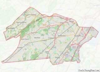
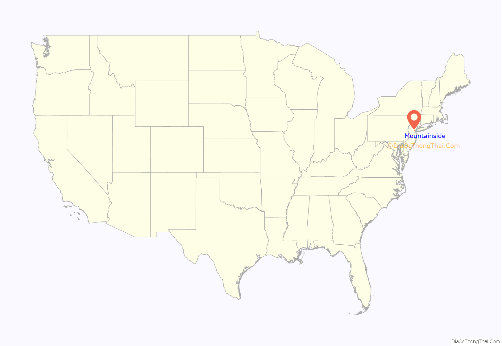
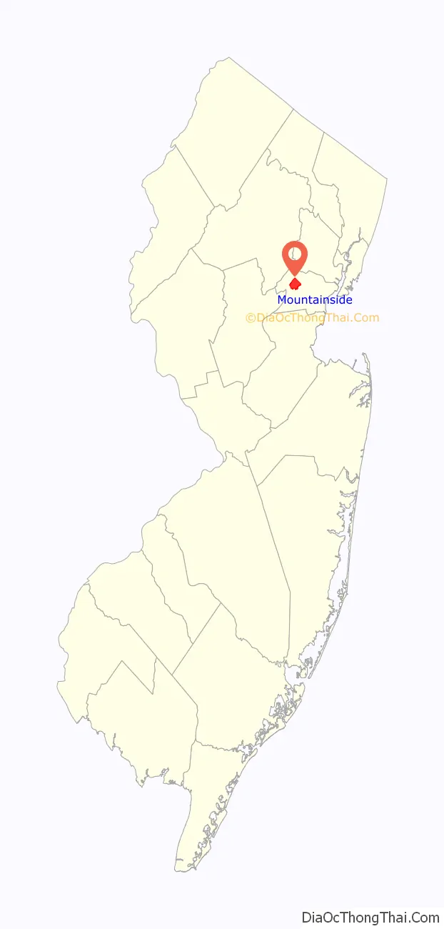
Mountainside location map. Where is Mountainside borough?
History
In 1958, part of Nike missile battery (NY-73) was installed, with the missile launchers themselves in Mountainside while the radar station was installed in Berkeley Heights. It remained in operation until 1963. Remnants of the control site are located adjacent to Governor Livingston High School, while the part of Watchung Reservation that was cleared in order to accommodate the missile launchers became the Watchung Stables.
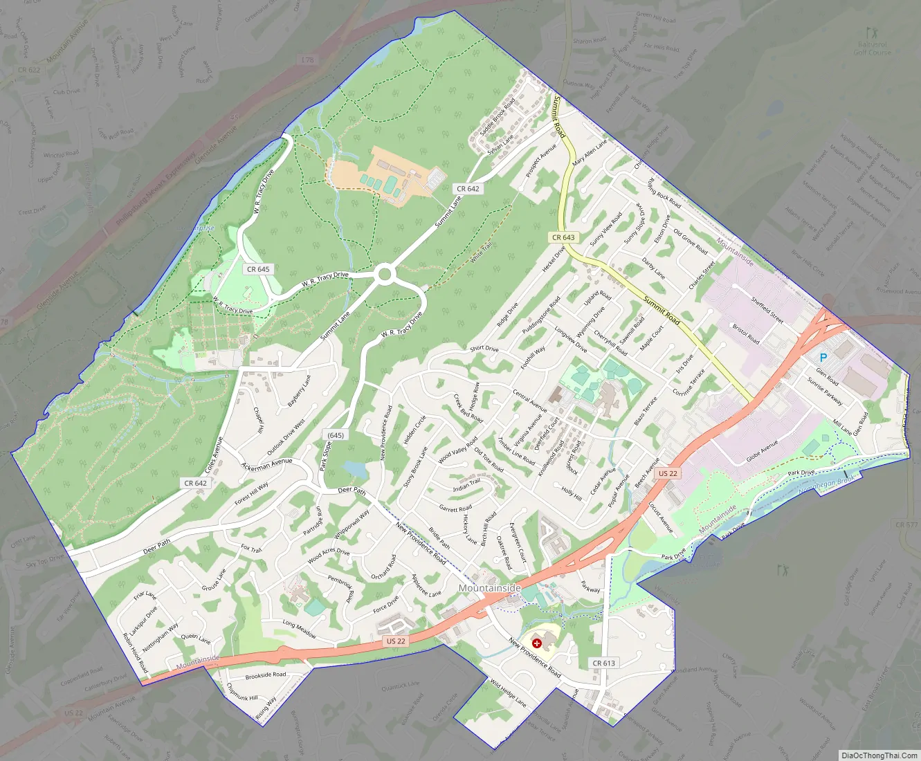
Mountainside Road Map
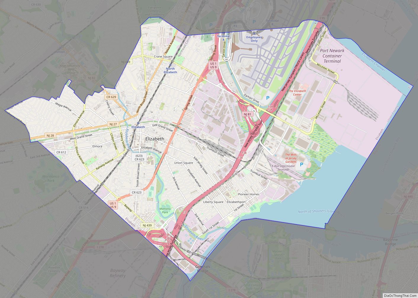
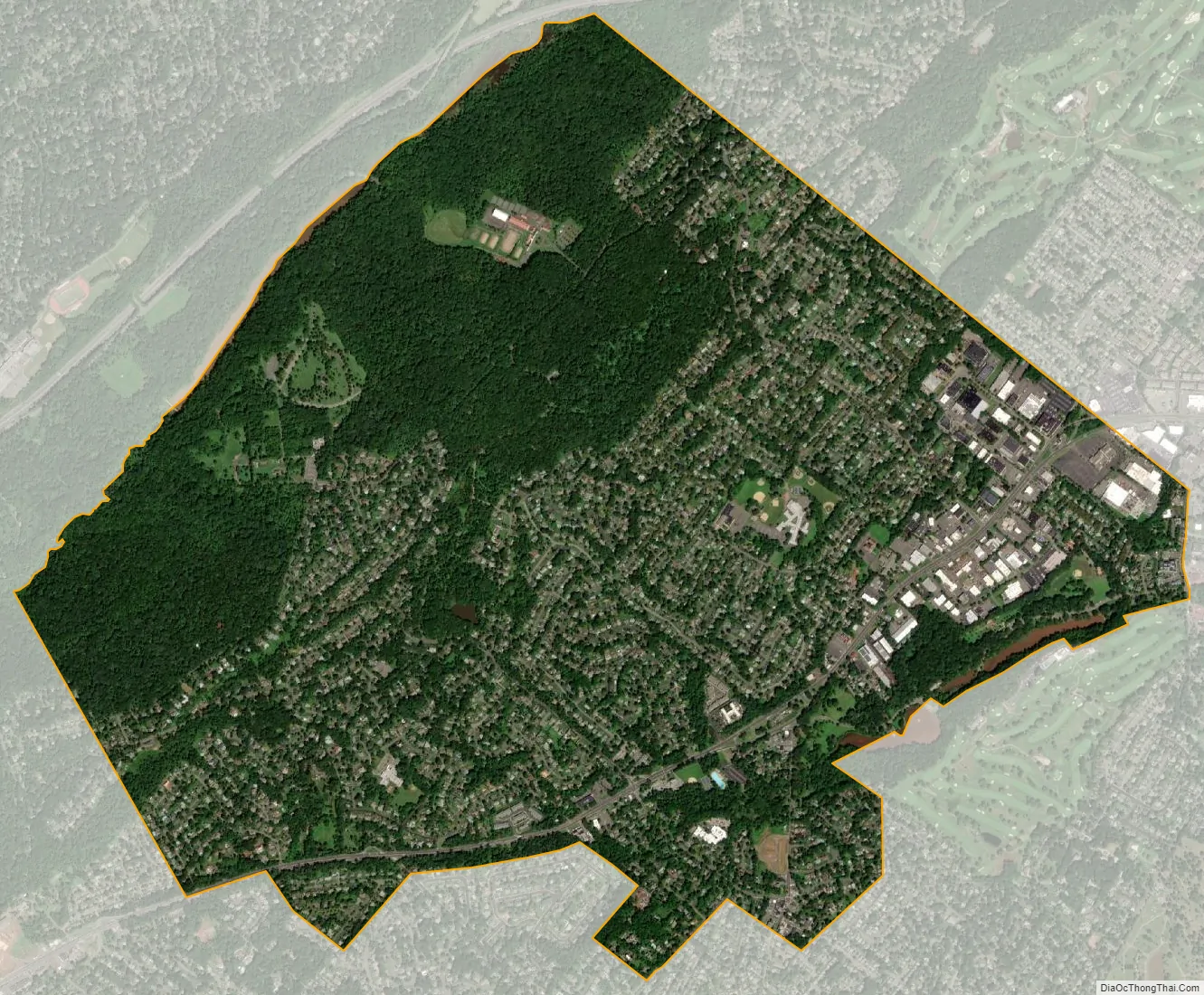
Mountainside city Satellite Map
Geography
According to the United States Census Bureau, the borough had a total area of 4.04 square miles (10.47 km), including 4.00 square miles (10.35 km) of land and 0.05 square miles (0.12 km) of water (1.11%).
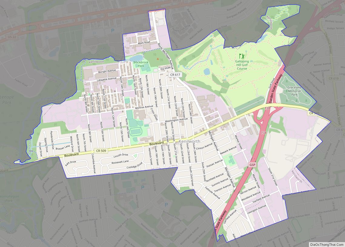
Mountainside is bordered by the Union County municipalities of Summit to the north, by Springfield Township to the east, by Westfield to the south and by Berkeley Heights and Scotch Plains to the west.
See also
Map of New Jersey State and its subdivision: Map of other states:- Alabama
- Alaska
- Arizona
- Arkansas
- California
- Colorado
- Connecticut
- Delaware
- District of Columbia
- Florida
- Georgia
- Hawaii
- Idaho
- Illinois
- Indiana
- Iowa
- Kansas
- Kentucky
- Louisiana
- Maine
- Maryland
- Massachusetts
- Michigan
- Minnesota
- Mississippi
- Missouri
- Montana
- Nebraska
- Nevada
- New Hampshire
- New Jersey
- New Mexico
- New York
- North Carolina
- North Dakota
- Ohio
- Oklahoma
- Oregon
- Pennsylvania
- Rhode Island
- South Carolina
- South Dakota
- Tennessee
- Texas
- Utah
- Vermont
- Virginia
- Washington
- West Virginia
- Wisconsin
- Wyoming