Princeton Junction is an unincorporated community and census-designated place (CDP) located within West Windsor, in Mercer County, in the U.S. state of New Jersey. As of the 2010 United States Census, the CDP’s population was 2,465.
| Name: | Princeton Junction CDP |
|---|---|
| LSAD Code: | 57 |
| LSAD Description: | CDP (suffix) |
| State: | New Jersey |
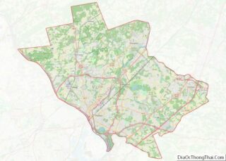
| County: | Mercer County |
| Elevation: | 60 ft (22 m) |
| Total Area: | 1.85 sq mi (4.80 km²) |
| Land Area: | 1.82 sq mi (4.72 km²) |
| Water Area: | 0.03 sq mi (0.08 km²) 1.48% |
| Total Population: | 2,475 |
| Population Density: | 1,357.65/sq mi (524.26/km²) |
| ZIP code: | 08550 |
| Area code: | 609 |
| FIPS code: | 3460960 |
| GNISfeature ID: | 02389708 |
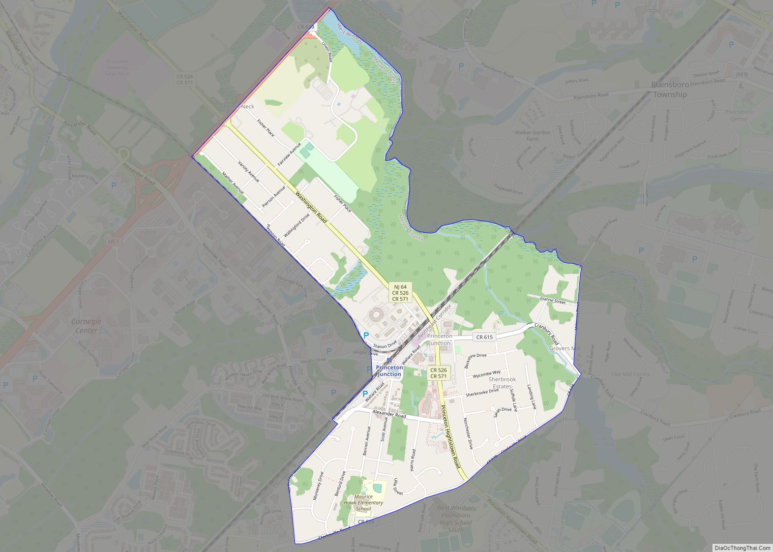
Online Interactive Map
Click on ![]() to view map in "full screen" mode.
to view map in "full screen" mode.
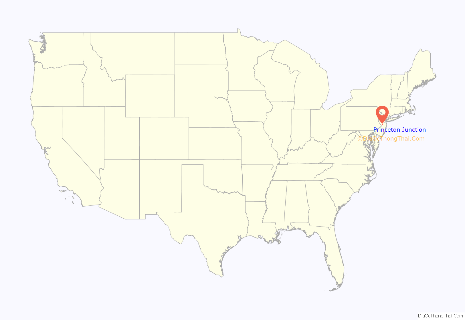
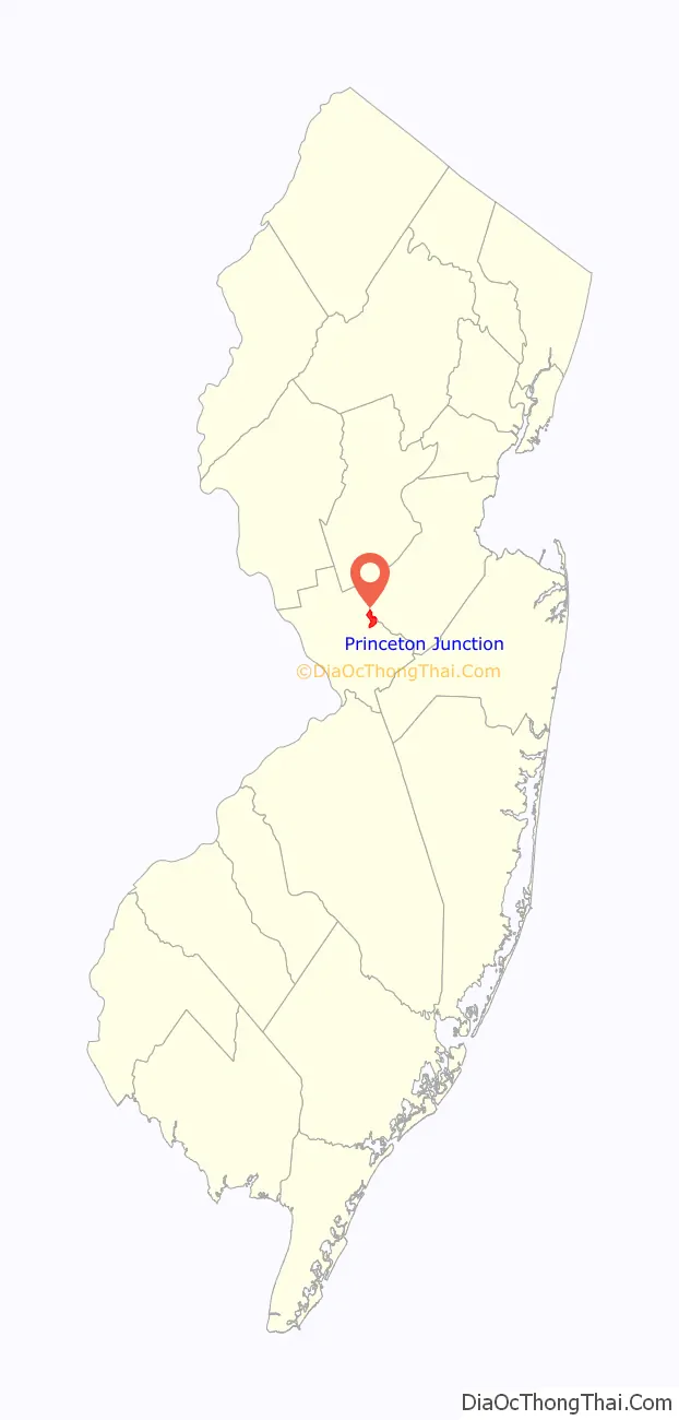
Princeton Junction location map. Where is Princeton Junction CDP?
History
Following the mid-1860s relocation of the Camden & Amboy rail line from next to the Delaware & Raritan Canal to the present location of the Northeast Corridor, and the subsequent construction of a train station south of the intersection of Washington Road and the new rail line, a community called “Princeton Junction” developed. This community originally featured several farmhouses, a hotel, a general store, a feed mill, and several other businesses centered around the intersection of Station Drive & Washington Road, profiting off of access to other cities provided by the rail line.
The construction of the neighborhood of Berrien City (focused around Scott Avenue, Alexander Road, and Berrien Avenue) represented West Windsor’s first planned development. Following the reconstruction of the Washington Road railroad bridge in 1939, the business center of the community shifted to the intersection of Washington Road and Cranbury Road, where a lumber yard, service station, liquor store, strip mall, several gas stations, and several more businesses operated for decades.
Following World War II, the Princeton Junction population grew with the construction of residential developments such as Sherbrooke Estates, Windsor Chase, and Wellington Estates.
Princeton Junction is currently the proposed site of a “Transit Village” to be built northwest of the train station.
In October 2019, the Historical Society of West Windsor published an online museum exploring the history of West Windsor – including that of Princeton Junction.
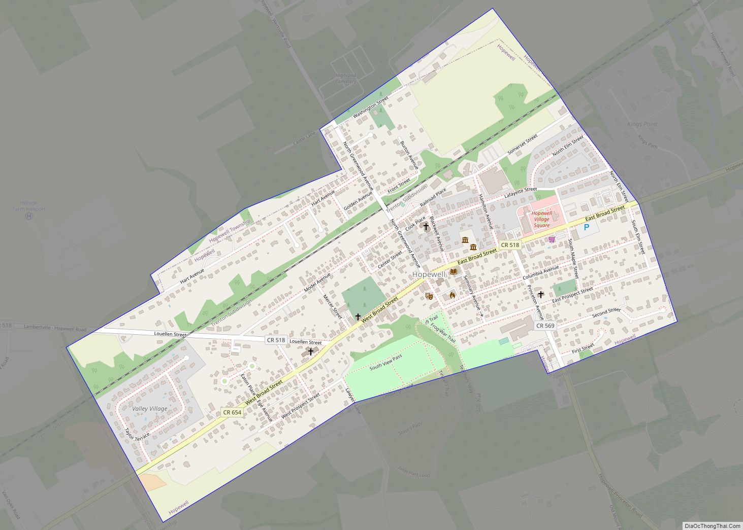
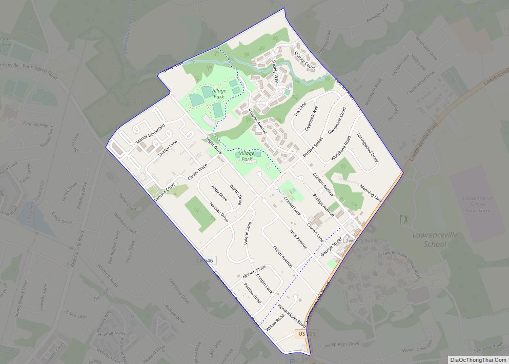
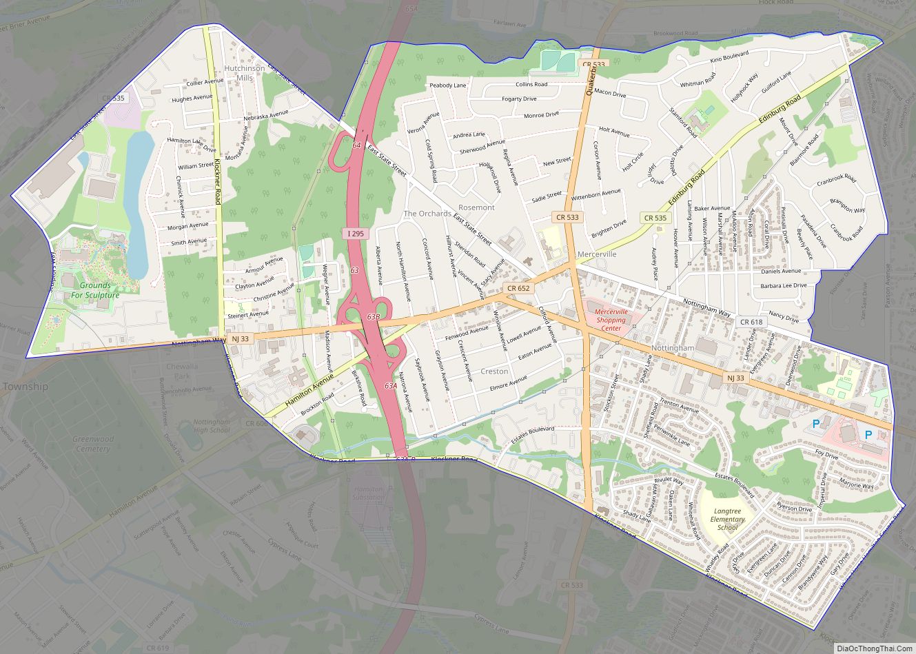
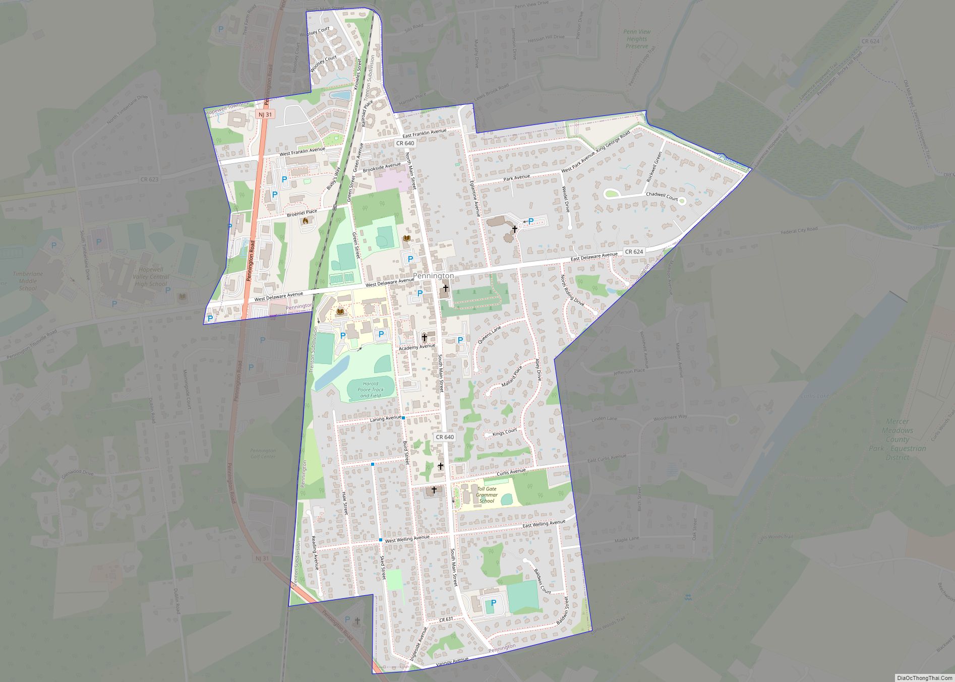
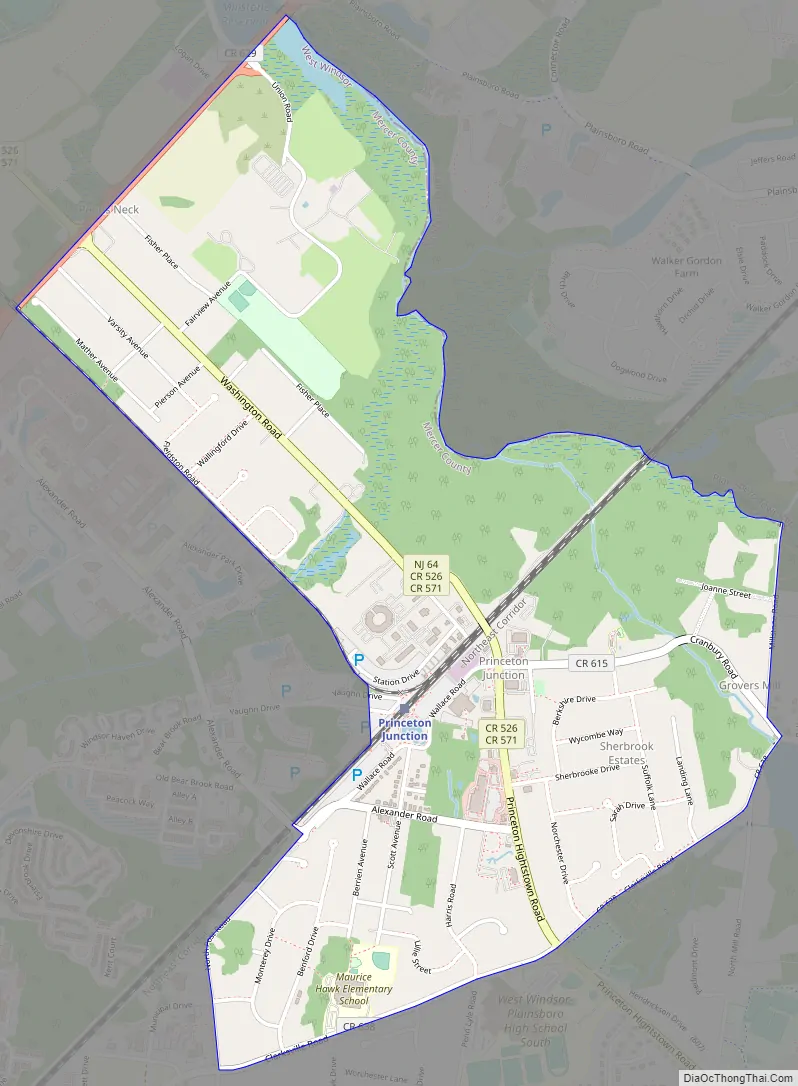
Princeton Junction Road Map
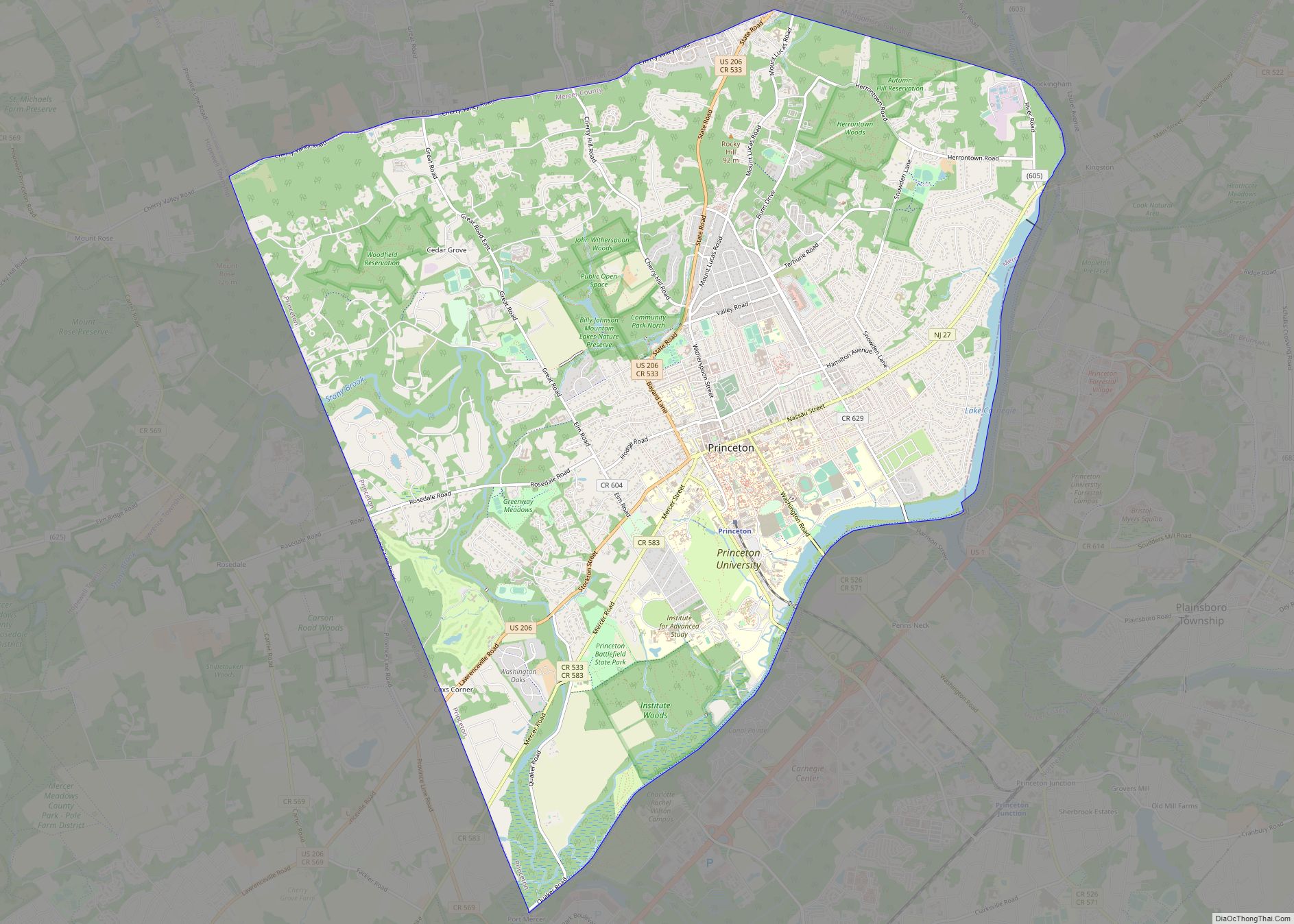
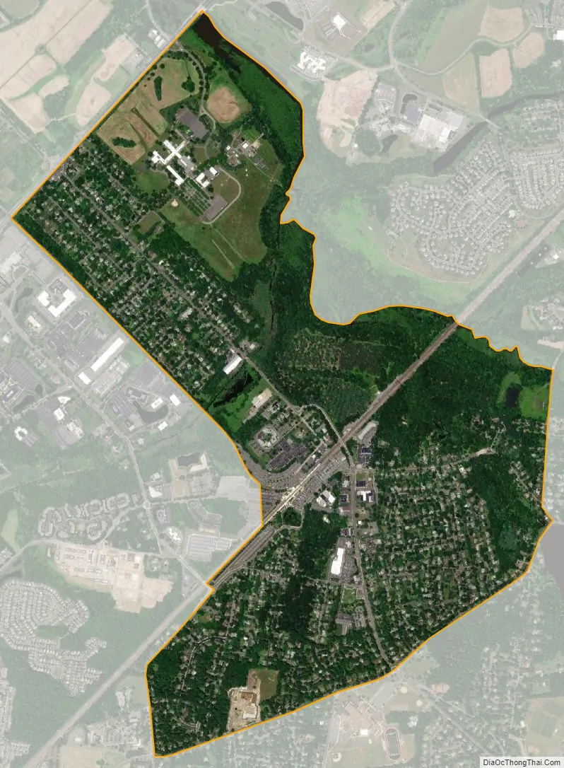
Princeton Junction city Satellite Map
Geography
According to the United States Census Bureau, the CDP had a total area of 1.853 square miles (4.801 km), including 1.826 square miles (4.730 km) of land and 0.027 square miles (0.071 km) of water (1.48%).
Princeton Junction’s name comes from the train station of the same name, now on the Amtrak and New Jersey Transit Northeast Corridor. The station is the junction between this main line and a spur served by the “Dinky” train, run by New Jersey Transit, to Princeton itself.
See also
Map of New Jersey State and its subdivision: Map of other states:- Alabama
- Alaska
- Arizona
- Arkansas
- California
- Colorado
- Connecticut
- Delaware
- District of Columbia
- Florida
- Georgia
- Hawaii
- Idaho
- Illinois
- Indiana
- Iowa
- Kansas
- Kentucky
- Louisiana
- Maine
- Maryland
- Massachusetts
- Michigan
- Minnesota
- Mississippi
- Missouri
- Montana
- Nebraska
- Nevada
- New Hampshire
- New Jersey
- New Mexico
- New York
- North Carolina
- North Dakota
- Ohio
- Oklahoma
- Oregon
- Pennsylvania
- Rhode Island
- South Carolina
- South Dakota
- Tennessee
- Texas
- Utah
- Vermont
- Virginia
- Washington
- West Virginia
- Wisconsin
- Wyoming