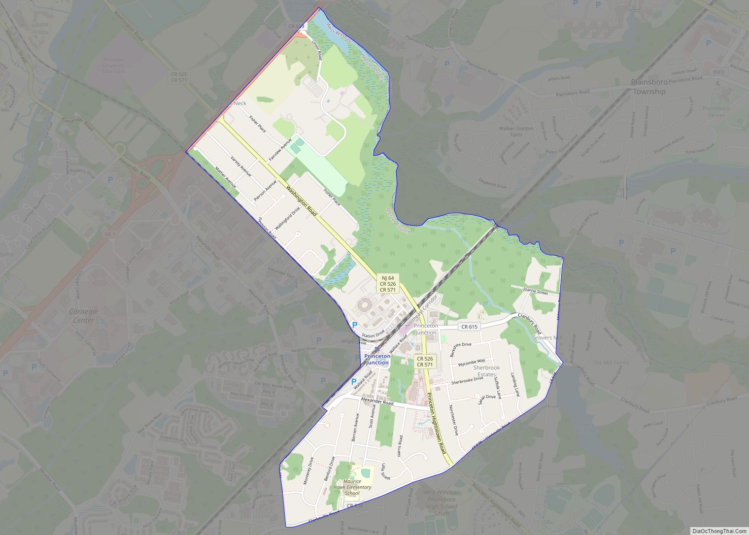
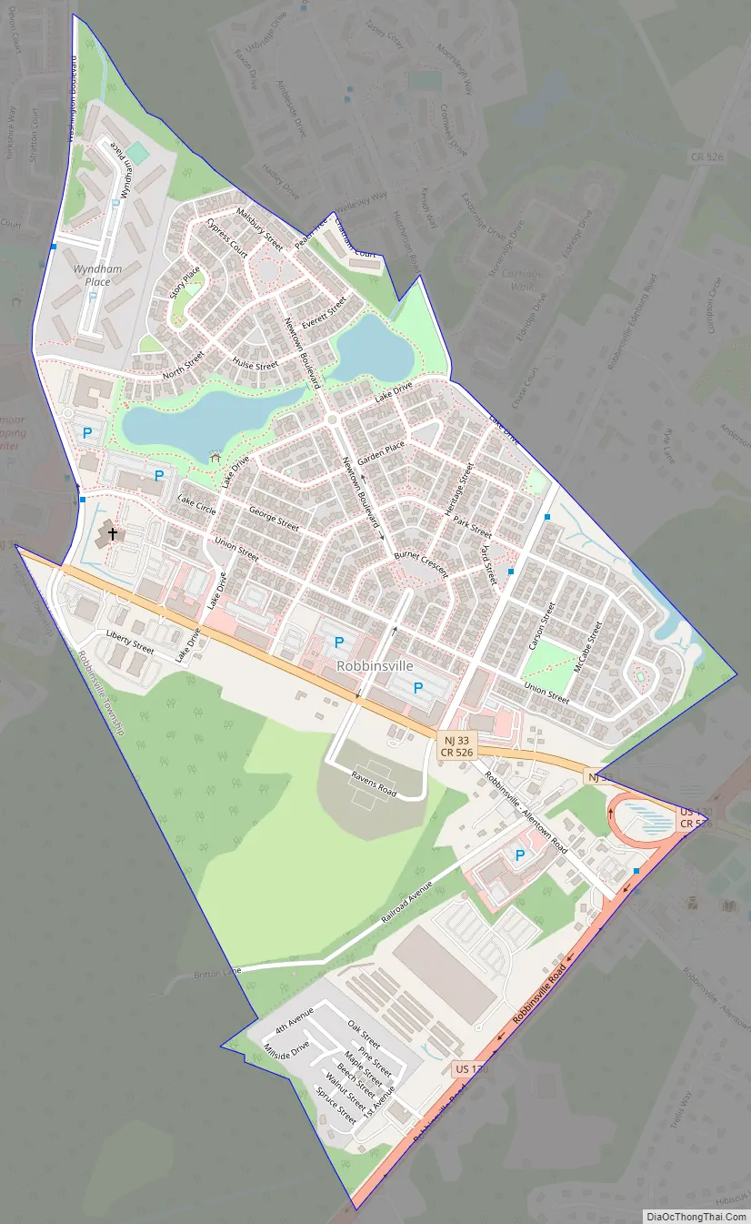
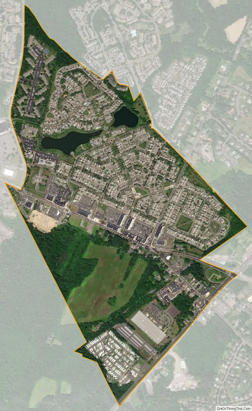
Robbinsville is a census-designated place (CDP) located within Robbinsville Township (known as Washington Township until 2007) in Mercer County, New Jersey, United States. The area is served as United States Postal Service ZIP Code 08691. As of the 2010 United States Census, the population for the CDP was 3,041.
The CDP includes the area of the township developed as a part of the Robbinsville Town Center. The CDP also includes the largely undeveloped land bordered by the Hamilton Township border, U.S. Route 130, and New Jersey Route 33 though there are some plans to develop this area as well.
| Name: | Robbinsville CDP |
|---|---|
| LSAD Code: | 57 |
| LSAD Description: | CDP (suffix) |
| State: | New Jersey |
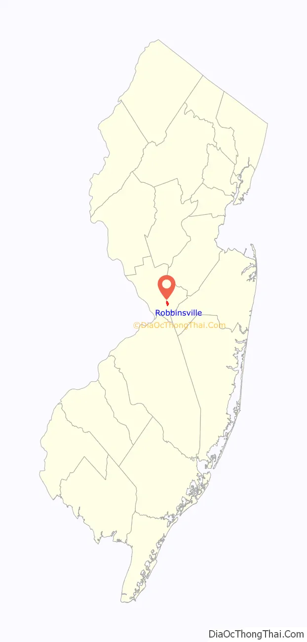
| County: | Mercer County |
| Elevation: | 108 ft (33 m) |
| Total Area: | 0.759 sq mi (1.966 km²) |
| Land Area: | 0.757 sq mi (1.961 km²) |
| Water Area: | 0.002 sq mi (0.005 km²) 0.26% |
| Total Population: | 3,041 |
| Population Density: | 4,016.0/sq mi (1,550.6/km²) |
| ZIP code: | 08691 |
| Area code: | 609/640 and 732/848 |
| FIPS code: | 3463840 |
| GNISfeature ID: | 02612511 |
Online Interactive Map
Click on ![]() to view map in "full screen" mode.
to view map in "full screen" mode.
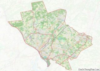
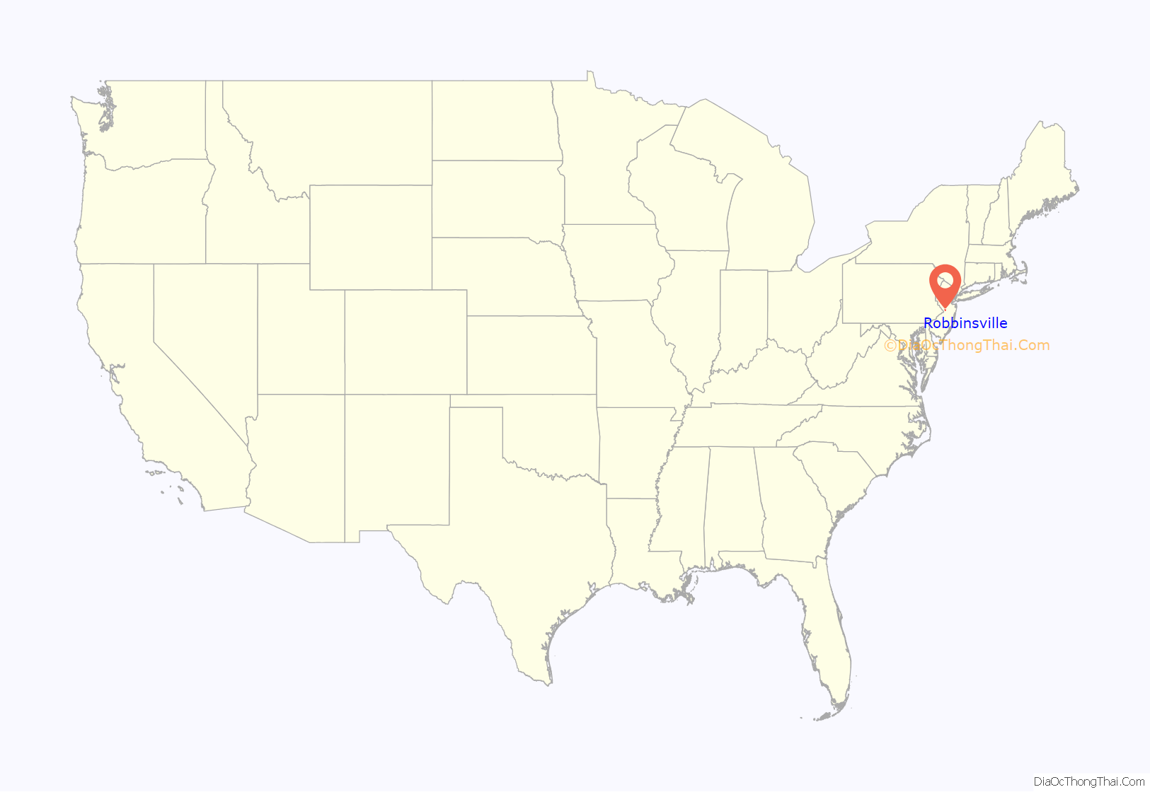
Robbinsville location map. Where is Robbinsville CDP?
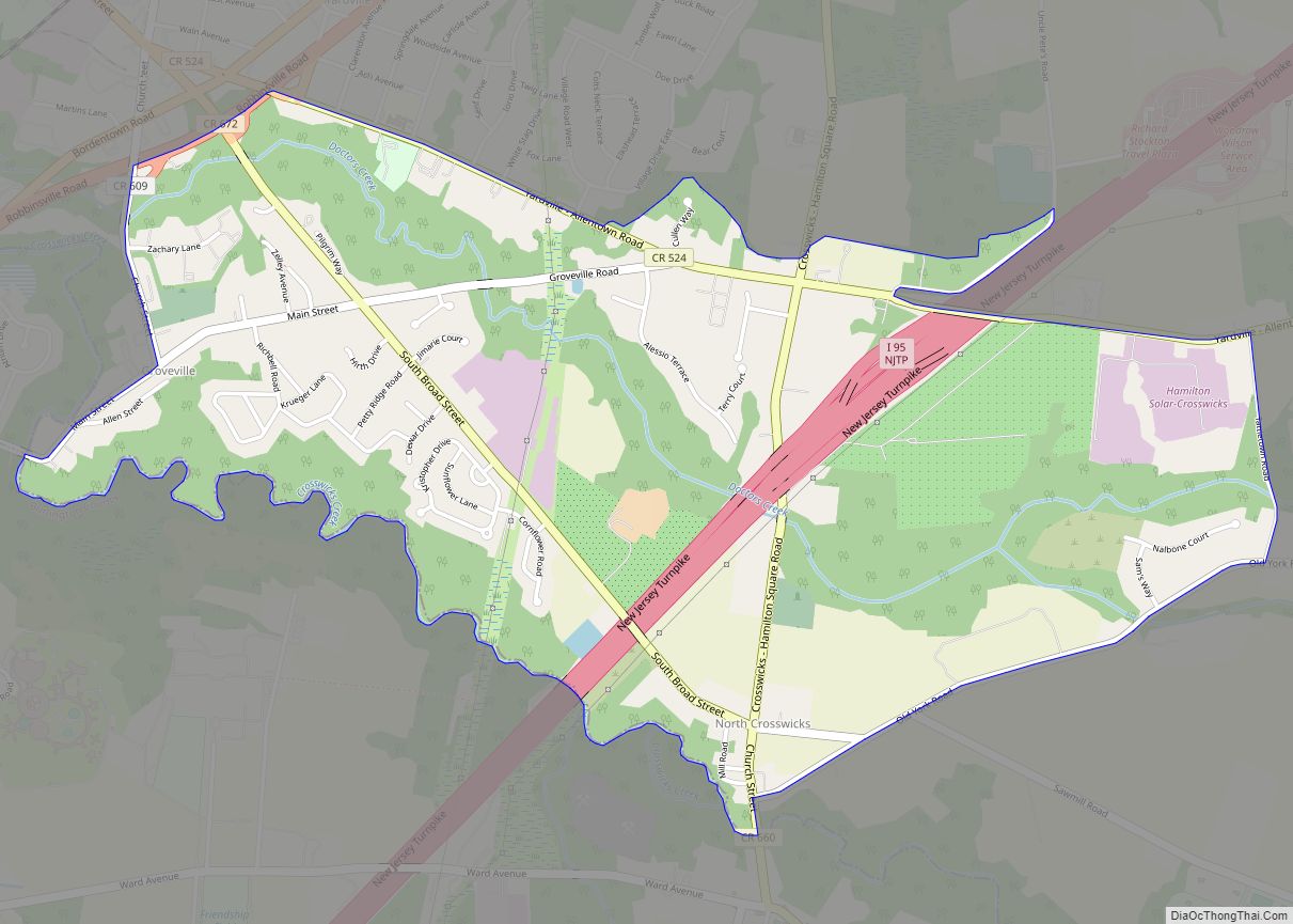
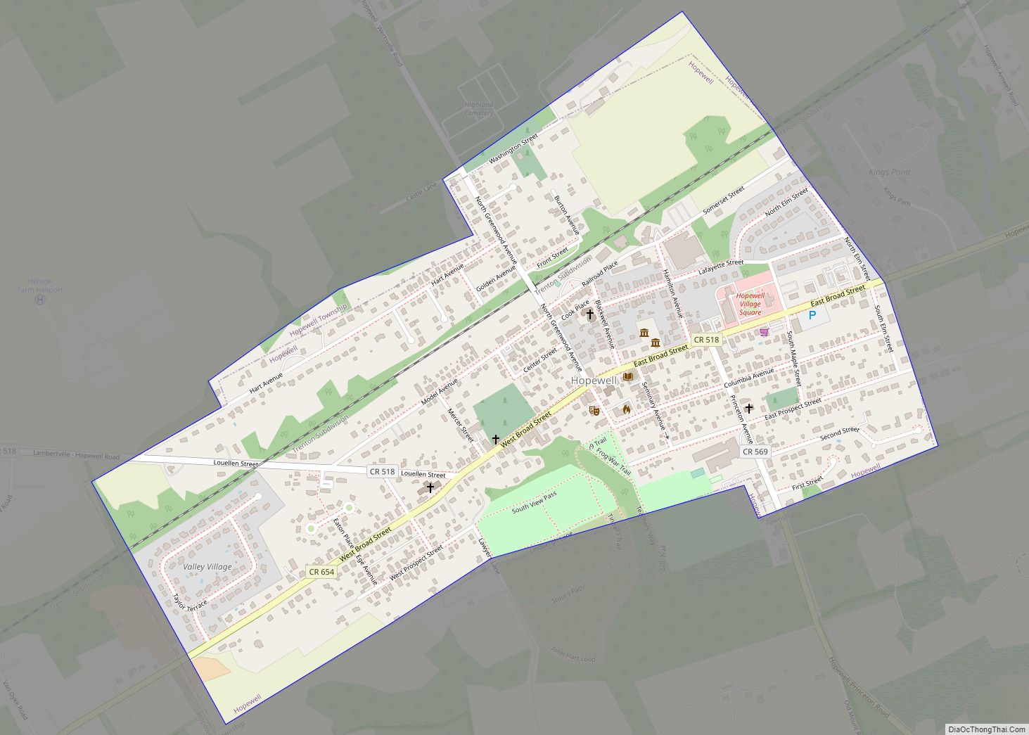
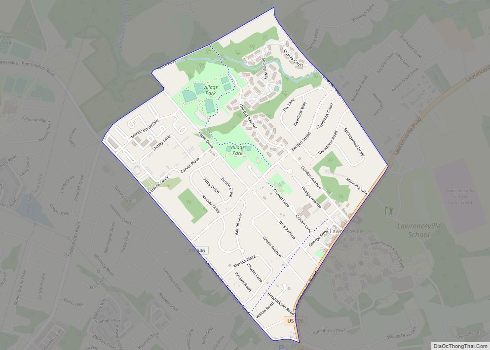
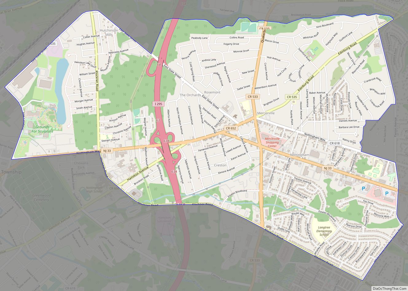
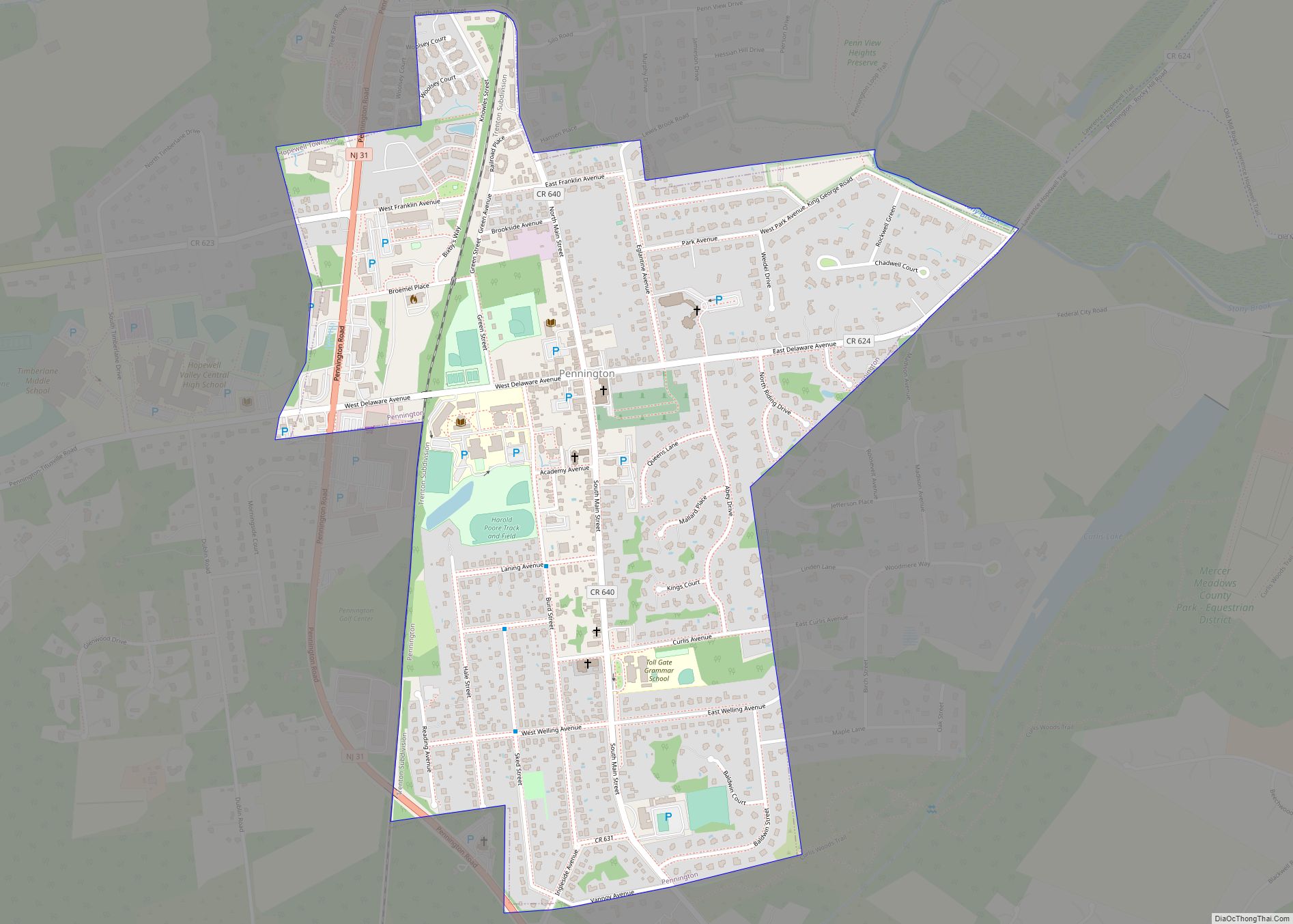
Robbinsville Road Map
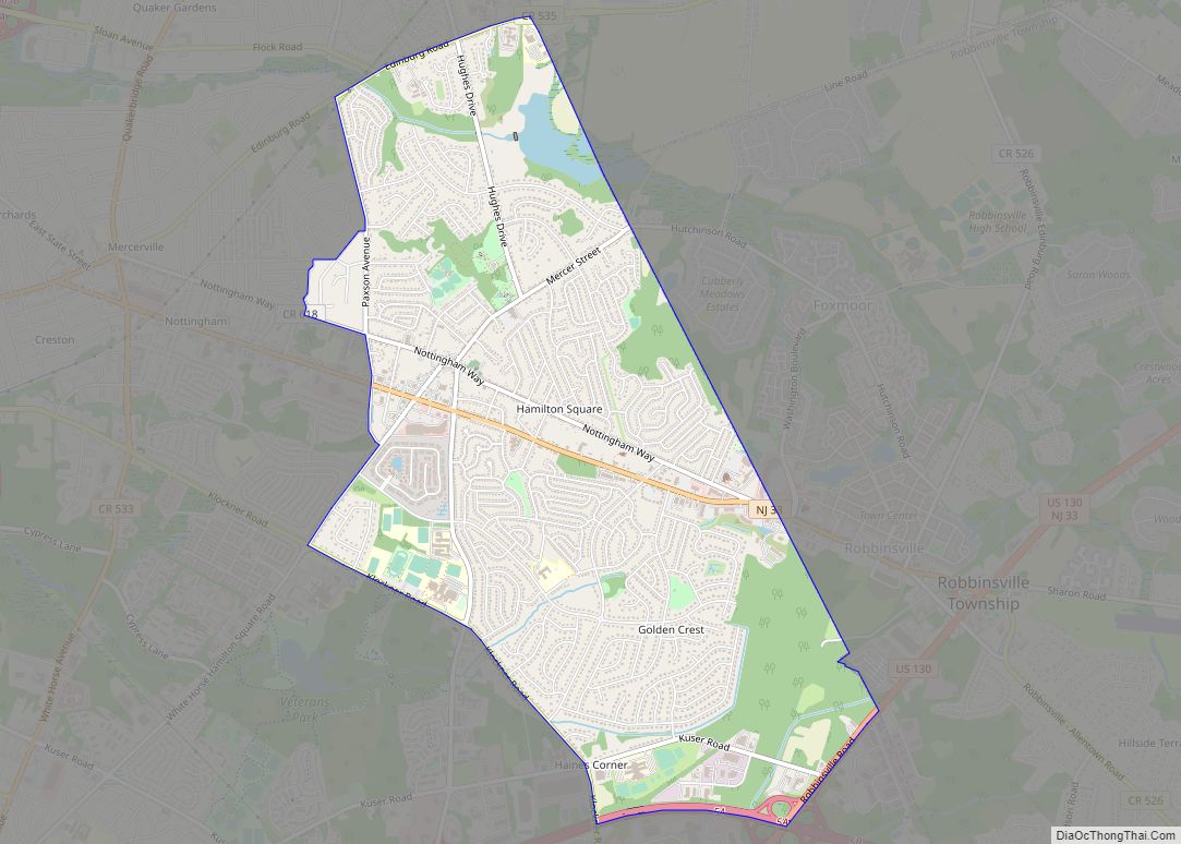
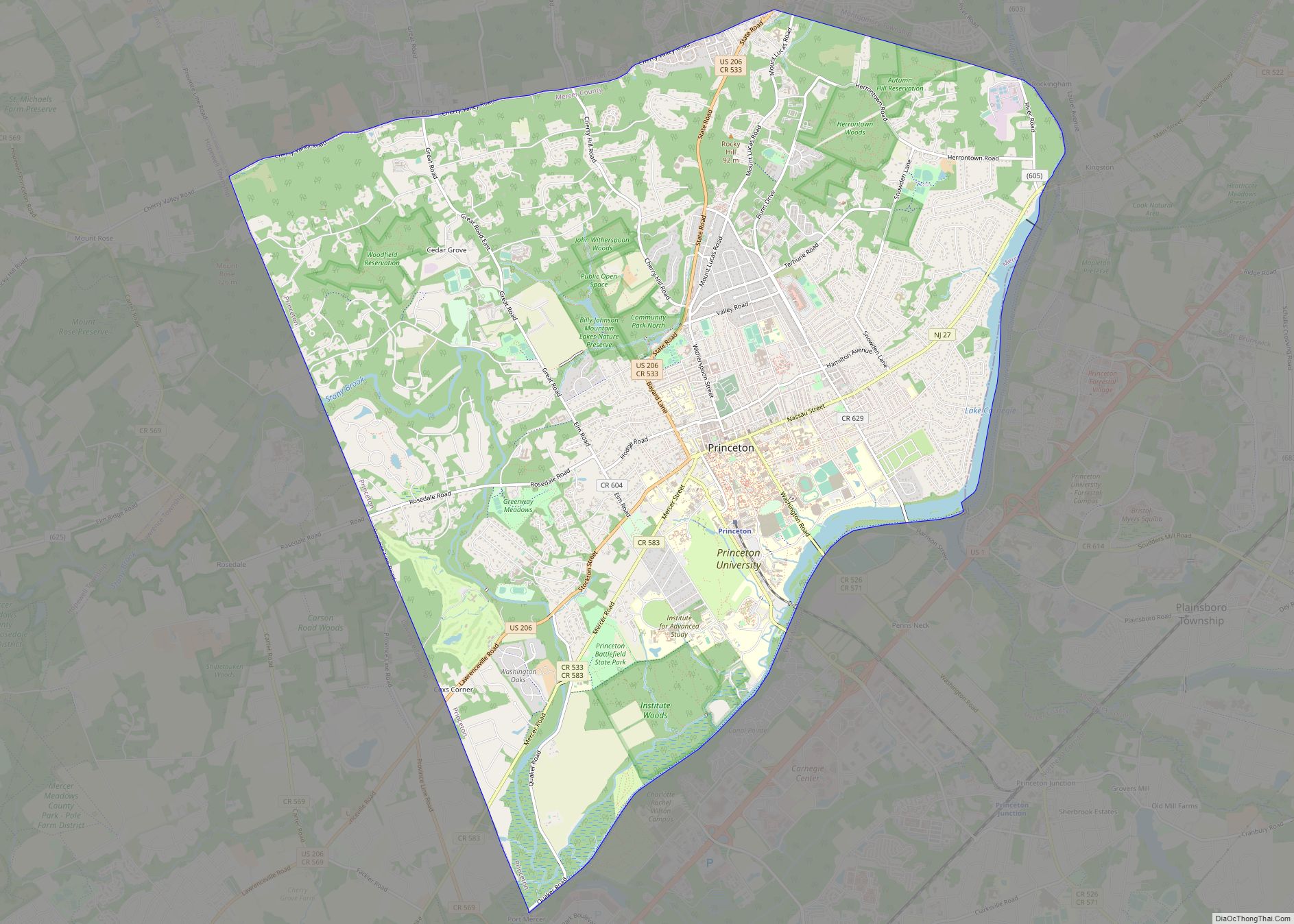
Robbinsville city Satellite Map
Geography
According to the United States Census Bureau, the CDP had a total area of 0.759 square miles (1.966 km), including 0.757 square miles (1.961 km) of it is land and 0.002 square miles (0.005 km) of water (0.26%) is water.
Robbinsville CDP and Robbinsville Township are not coextensive, with the CDP covering 3.7% of the 20.49 miles (32.98 km) of the township as a whole.
See also
Map of New Jersey State and its subdivision: Map of other states:- Alabama
- Alaska
- Arizona
- Arkansas
- California
- Colorado
- Connecticut
- Delaware
- District of Columbia
- Florida
- Georgia
- Hawaii
- Idaho
- Illinois
- Indiana
- Iowa
- Kansas
- Kentucky
- Louisiana
- Maine
- Maryland
- Massachusetts
- Michigan
- Minnesota
- Mississippi
- Missouri
- Montana
- Nebraska
- Nevada
- New Hampshire
- New Jersey
- New Mexico
- New York
- North Carolina
- North Dakota
- Ohio
- Oklahoma
- Oregon
- Pennsylvania
- Rhode Island
- South Carolina
- South Dakota
- Tennessee
- Texas
- Utah
- Vermont
- Virginia
- Washington
- West Virginia
- Wisconsin
- Wyoming