Summit is a city in Union County, in the U.S. state of New Jersey. The city is located on a ridge in northern-central New Jersey, within the Raritan Valley and Rahway Valley regions in the New York metropolitan area. As of the 2020 United States census, the city’s population was 22,719, an increase of 1,262 (+5.9%) from the 2010 census count of 21,457, which in turn reflected an increase of 326 (+1.5%) from the 21,131 counted in the 2000 census.
Originally incorporated as Summit Township by an act of the New Jersey Legislature on March 23, 1869, from portions of New Providence Township (now Berkeley Heights) and Springfield Township, Summit was reincorporated as a city on March 8, 1899.
Possible derivations of Summit’s name include its location atop the Second Watchung Mountain; the Summit Lodge, the house to which jurist James Kent moved in 1837 and which stands today at 50 Kent Place Boulevard; and to a local sawmill owner who granted passage to the Morris and Essex Railroad for a route to “the summit of the Short Hills”.
Summit had the 16th-highest per capita income in New Jersey as of the 2000 census. According to Bloomberg, Summit ranked as the 70th highest-income place in the United States in 2017, 72nd in 2018 (with an average household income of $220,971), and 65th in 2019.
| Name: | Summit city |
|---|---|
| LSAD Code: | 25 |
| LSAD Description: | city (suffix) |
| State: | New Jersey |
| County: | Union County |
| Elevation: | 374 ft (114 m) |
| Total Area: | 6.04 sq mi (15.66 km²) |
| Land Area: | 5.99 sq mi (15.52 km²) |
| Water Area: | 0.05 sq mi (0.13 km²) 0.84% |
| Population Density: | 3,790.3/sq mi (1,463.4/km²) |
| Area code: | 908 |
| FIPS code: | 3471430 |
| GNISfeature ID: | 085412 |
| Website: | www.cityofsummit.org |
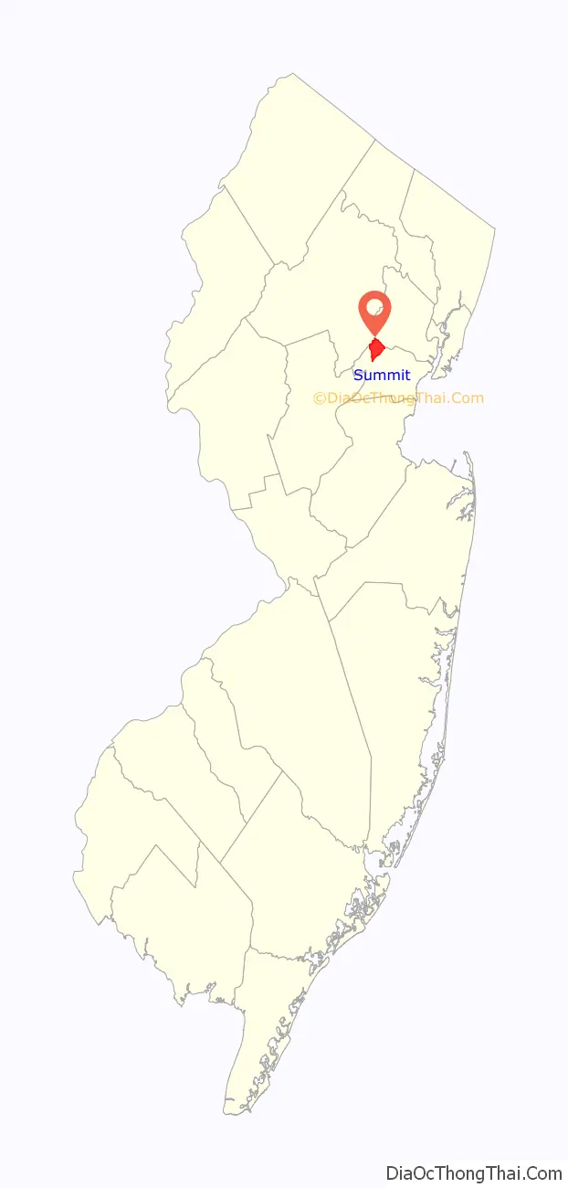
Online Interactive Map
Click on ![]() to view map in "full screen" mode.
to view map in "full screen" mode.
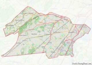
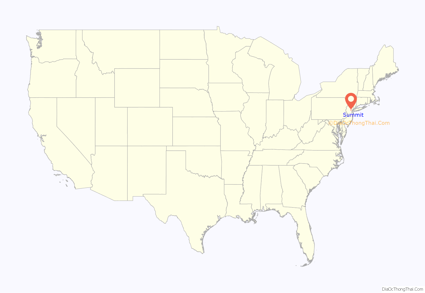
Summit location map. Where is Summit city?
History
18th century
The region in which Summit is located was purchased from Native Americans on October 28, 1664. Summit’s earliest European settlers came to the area around the year 1710. The original name of Summit was “Turkey Hill” to distinguish it from the area then known as “Turkey” (New Providence‘s original name until 1759). During the American Revolutionary War, Summit was known as “Beacon Hill”, because bonfire beacons were lit on an eastern ridge in Summit to warn the New Jersey militiamen of approaching British troops.
Summit was called the “Heights over Springfield” during the late 18th century and most of the 19th century, and was considered a part of New Providence. During this period, Summit was part of Springfield Township, which eventually broke up into separate municipalities. Eventually, only Summit and New Providence remained joined.
19th century
Lord Chancellor James Kent, a Chancellor of New York State and author of Commentaries on American Law, retired to this area in 1837 in a house he called Summit Lodge (perhaps a namesake of the town) on what is now called Kent Place Boulevard. He lived there until 1847. Today, the lodge is part of a large mansion, at 50 Kent Place Boulevard, opposite Kent Place School.
In 1837, the Morris and Essex Railroad, which became the Delaware Lackawanna and Western Railroad and is now NJ Transit’s Morris and Essex Lines, was built over what was then called “The Summit” hill, a name later shortened to Summit. The railroad allowed Summit to outgrow neighboring New Providence, which didn’t have a train station. In 1868, a hotel named “The Summit House” burned beside the railroad. In 1869, Summit and New Providence separated and the Summit area was incorporated as the “Township of Summit”. In the late 19th century, the area began shifting from farmland to wealthy estates; in 1892, renowned architect C. Abbott French cleared away a crest of a “summit ridge”, removing “an impenetrable tangle of wild vines … and myriads of rattlesnakes,” to build a house with a view of New York City, The Times Building, and the Brooklyn Bridge. The present-day incarnation of Summit, known formally as the City of Summit, was incorporated on April 11, 1899.
During this time, Summit was the home of America’s “antivice crusader”, Anthony Comstock, who moved there about 1880 and built a house in 1892 at 35 Beekman Road, where he died in 1915.
In the 19th century, Summit served as a nearby getaway spot for wealthy residents of New York City in search of fresh air. Weekenders or summer vacationers would reach Summit by train and relax at large hotels and smaller inns and guest houses. Calvary Episcopal Church was built in 1894–1895; the New York Times called it a “handsome new house of worship”.
20th century
Silk weaving, which had thrived as an industry in the late 19th century, declined in the early decades of the 20th. In 1915, there was a strike at the Summit Silk Company on Weaver Street. In the early 20th century, there was much building; in 1909, one report suggested at least 40 residences were being built (some with stables) with costs varying from $4,500 to $45,000, making it “one of the greatest periods of building activity this place, the Hill City, has known.”
A new railway was constructed from what was then-called New Orange. The Rahway Valley Railroad connected Summit with the Delaware, Lackawanna and Western Railroad (DL&W). In the early 20th century, both freight and passenger service were offered by this line. (Although in 2009, Union County was exploring the possibility of reactivating the long-dormant line for freight traffic.) A trolley line called the Morris County Traction Company, once ran a passenger trolley through Summit to/from Newark and Morris County, in the early part of the 20th century. Broad Street in Summit was designed and built for the trolley, which is why it is wider and straighter than most streets in the city. Portions of the rails could still be seen on it as late as the 1980s.
Relations between city authorities and businesses have not always been smooth; in 1898, city authorities and the New York and New Jersey Telephone Company had disputes about wires and telephone poles; the city acted and “wires and cables of the company were cut from the poles.” There were disputes between Summit’s commuters and the Lackawanna railroad about walkways; in one incident in 1905, “a number of passengers seeking to board the 6:35 train found their way barred. They made a united rush, and when the dust cleared away, the door wasn’t there. It is said the company will put the door back. The commuters say they will remove it as often as it is replaced.”
Following World War II, the city experienced a building boom as living outside New York City and commuting to work became more common and the population of New Jersey grew. At this point, Summit took on its suburban character of tree lined streets and architect-designed houses that it is known for today.
In 1974 there was a lawsuit to split “East Summit” off as its own municipality. Until 1973 the city had been divided into two wards, east and west, by the Erie-Lackawanna Railroad tracks. Right before the 1973 municipal election new ward districts where determined that overrode the preexisting geographic boundaries in order to make the two wards roughly equal in population. Following a sweeping Republican victory in the election, the citizens of the eastern portion of the city claimed they had been gerrymandered by the city’s Republican leadership in mayor Elmer J. Bennett and council president Frank Lehr. The eastern half of the city was more ethnically diverse and with a predominately Democratic voter base. As such Joseph R. Angelo was proclaimed the “Mayor of East Summit” and citizens sued the municipal government. The lawsuit to split the city in half, Mosely v. Kates, got as far as the Supreme Court of New Jersey which ultimately ruled in favor of the defendants and the city was kept whole.
In the late 1970s, Summit had a mini-bus system, with three long circular routes through most parts of Summit that were primarily designed to bring commuters to the railroad station downtown. The Velvet Underground played their first paid concert at a Summit High School prom.
21st century
More than a dozen Summit residents died in the September 11 terrorist attacks. Many worked in the World Trade Center, and commuted by rail to Hoboken. A few days after the attacks, townspeople assembled on the town green while a minister “called out the names of a dozen residents still unaccounted for after Tuesday’s attack on the World Trade Center. Others in the crowd of nearly 2,000 called out names he had left out.” A few World Trade Center firms moved to Summit.
Summit has consistently ranked high in NJMonthly’s biennial Top 100 Towns. In 2019, Summit was ranked the second best place to live.
In 2005, star baseball athlete Willie Wilson and former Summit graduate returned to Summit High School. Wilson said: “To me, Summit is a special place … It’s where it all began and I have great memories. This is where I want to help kids and youth baseball, and I want my own son and daughter to come and help me create something here.” During the economic downturn of 2008–2009, Summit was listed as #6 on a list of American communities “likely to be pummeled by the economic crisis.” Crime is generally not bad in the city; the summer 2010 assault of Abelino Mazariego-Torres during a robbery attempt gone awry shocked residents in what one person described as a “very small and very peaceful town.” Several youths were charged in the murder.
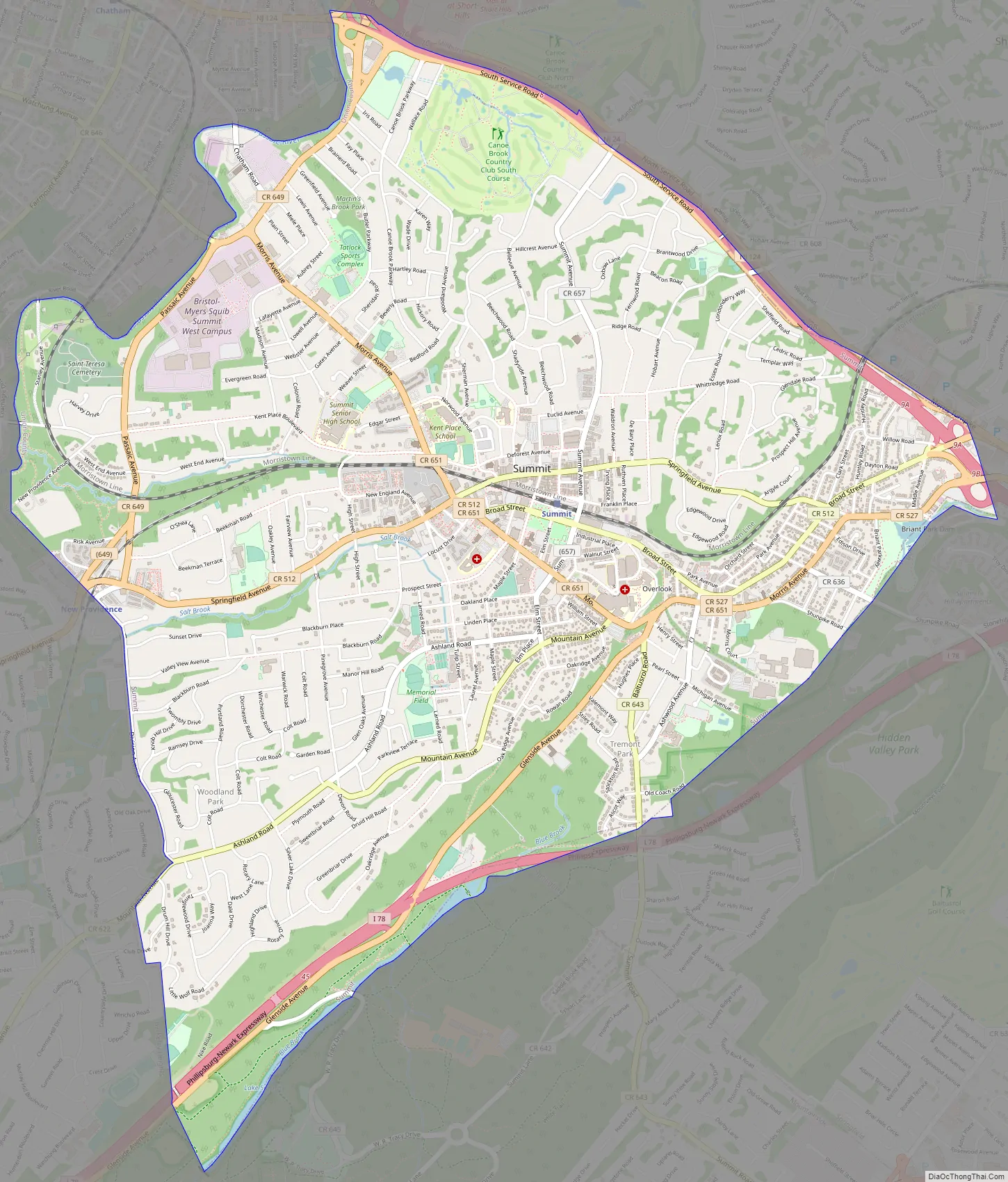
Summit Road Map
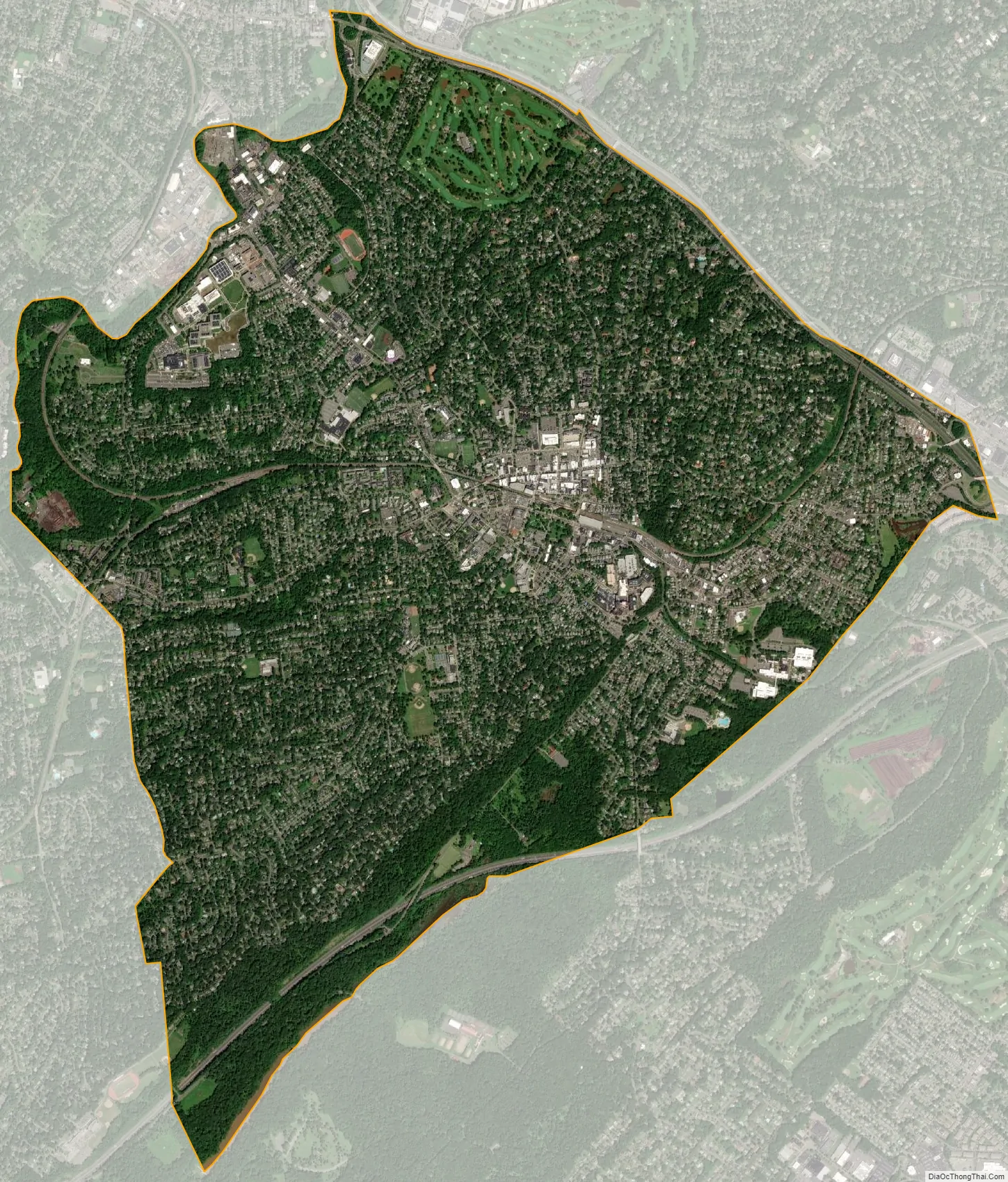
Summit city Satellite Map
Geography
According to the United States Census Bureau, the city had a total area of 6.05 square miles (15.66 km), including 5.99 square miles (15.52 km) of land and 0.05 square miles (0.13 km) of water (0.84%). It is about 20 miles (32 km) west of Manhattan.
Springfield Avenue is the city’s main street.
Unincorporated communities, localities and place names located partially or completely within the city include Brantwood Park and Tall Oaks.
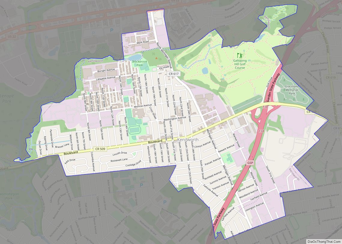
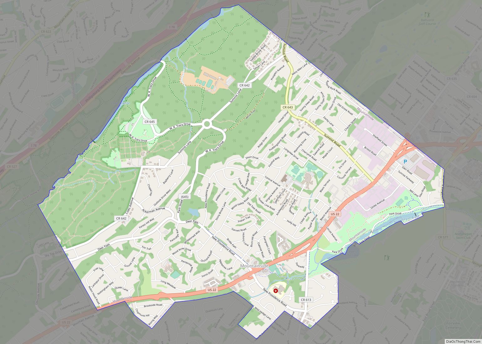
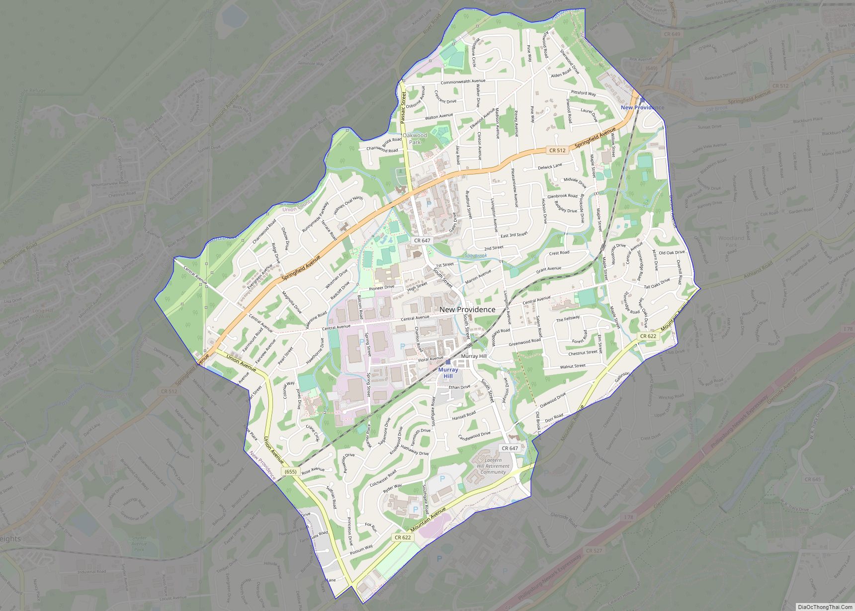
It is bordered to the northeast by Millburn in Essex County, to the northwest by Chatham Borough and Chatham Township, both in Morris County, to the west by New Providence, to the southwest by Berkeley Heights, to the south by Mountainside and to the southeast by Springfield Township.
See also
Map of New Jersey State and its subdivision: Map of other states:- Alabama
- Alaska
- Arizona
- Arkansas
- California
- Colorado
- Connecticut
- Delaware
- District of Columbia
- Florida
- Georgia
- Hawaii
- Idaho
- Illinois
- Indiana
- Iowa
- Kansas
- Kentucky
- Louisiana
- Maine
- Maryland
- Massachusetts
- Michigan
- Minnesota
- Mississippi
- Missouri
- Montana
- Nebraska
- Nevada
- New Hampshire
- New Jersey
- New Mexico
- New York
- North Carolina
- North Dakota
- Ohio
- Oklahoma
- Oregon
- Pennsylvania
- Rhode Island
- South Carolina
- South Dakota
- Tennessee
- Texas
- Utah
- Vermont
- Virginia
- Washington
- West Virginia
- Wisconsin
- Wyoming