White Horse is an unincorporated community and census-designated place (CDP) located within Hamilton Township, in Mercer County, New Jersey, United States. As of the 2010 United States Census, the CDP’s population was 9,494.
| Name: | White Horse CDP |
|---|---|
| LSAD Code: | 57 |
| LSAD Description: | CDP (suffix) |
| State: | New Jersey |
| County: | Mercer County |
| Elevation: | 92 ft (28 m) |
| Total Area: | 3.17 sq mi (8.22 km²) |
| Land Area: | 3.12 sq mi (8.07 km²) |
| Water Area: | 0.06 sq mi (0.15 km²) 2.05% |
| Total Population: | 9,791 |
| Population Density: | 3,140.15/sq mi (1,212.59/km²) |
| FIPS code: | 3480630 |
| GNISfeature ID: | 02390504 |
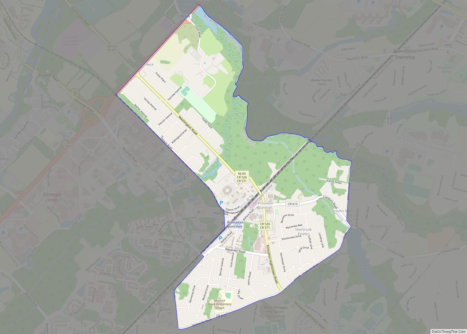
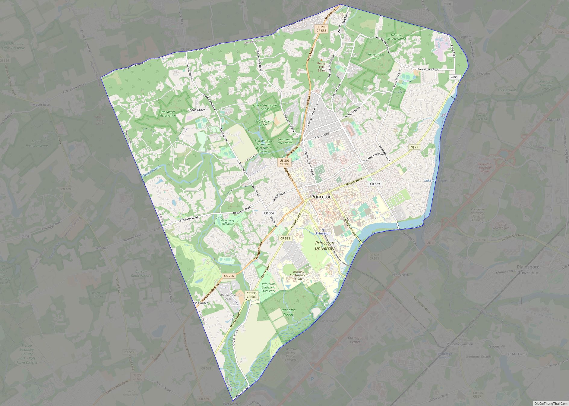
Online Interactive Map
Click on ![]() to view map in "full screen" mode.
to view map in "full screen" mode.
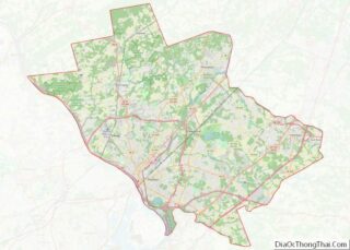
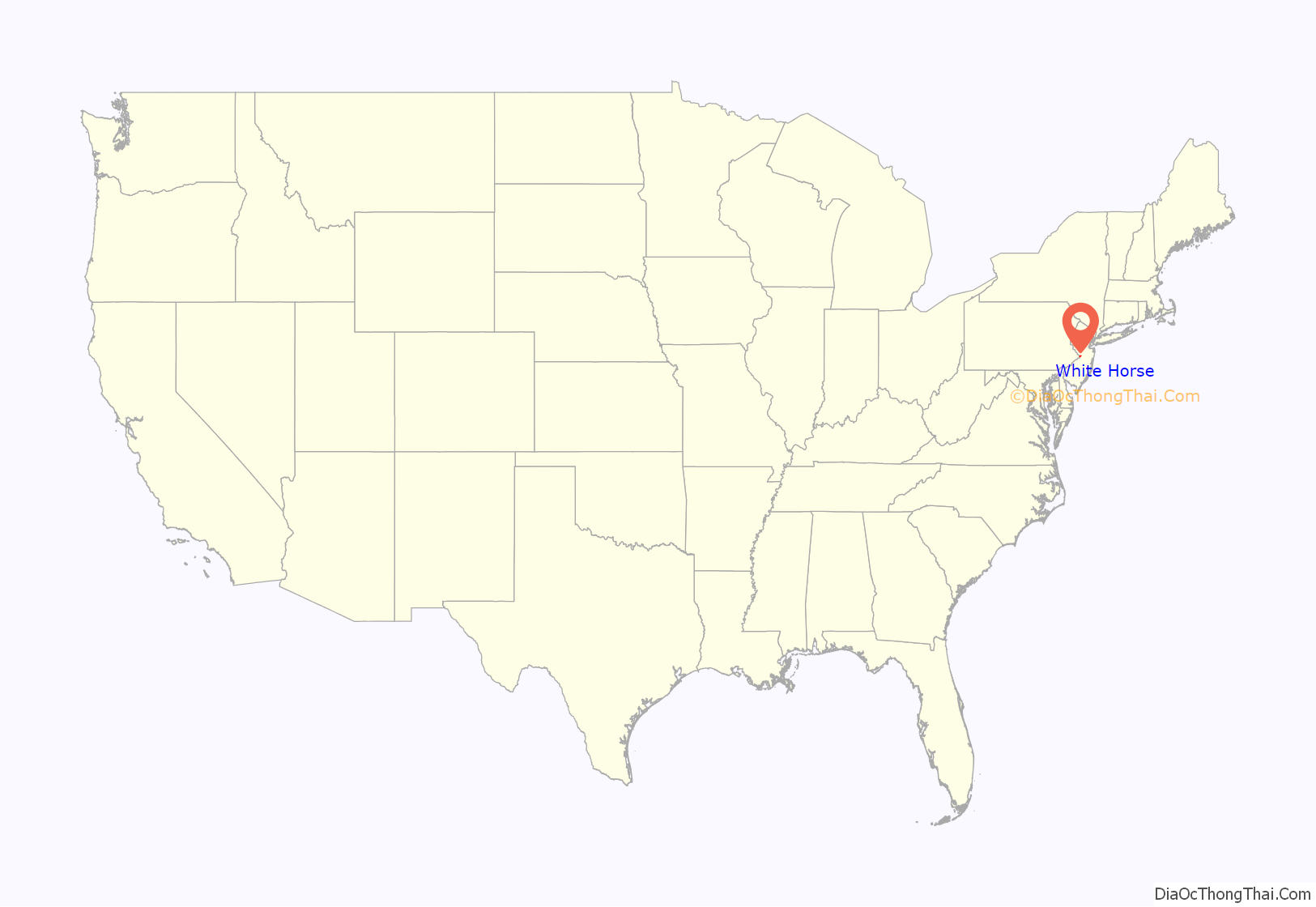
White Horse location map. Where is White Horse CDP?
History
The community’s name derives from a local tradition that holds that George Washington rode through the area on a white horse on his journey from Virginia to New York City for his first presidential inauguration in 1789.
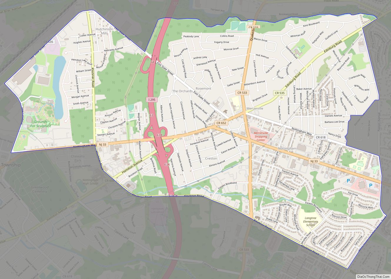
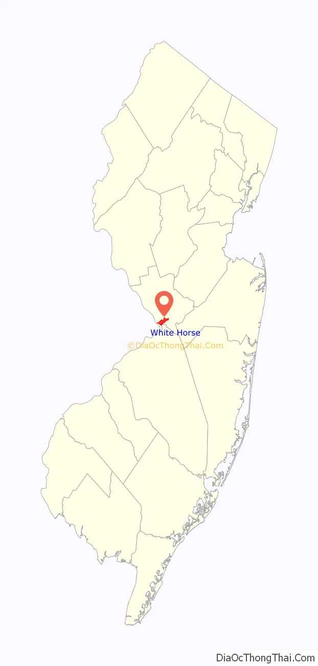
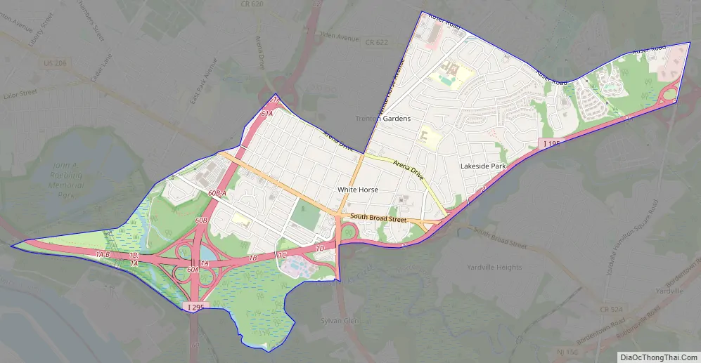
White Horse Road Map
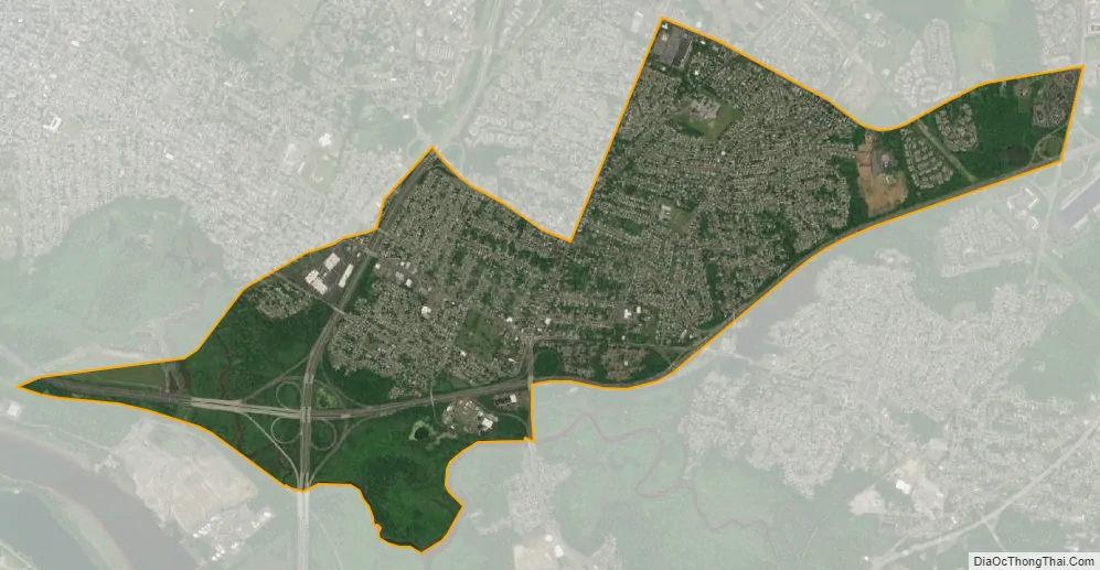
White Horse city Satellite Map
Geography
According to the United States Census Bureau, the CDP had a total area of 3.138 square miles (8.129 km), including 3.074 square miles (7.963 km) of land and 0.064 square miles (0.167 km) of water (2.05%).
See also
Map of New Jersey State and its subdivision: Map of other states:- Alabama
- Alaska
- Arizona
- Arkansas
- California
- Colorado
- Connecticut
- Delaware
- District of Columbia
- Florida
- Georgia
- Hawaii
- Idaho
- Illinois
- Indiana
- Iowa
- Kansas
- Kentucky
- Louisiana
- Maine
- Maryland
- Massachusetts
- Michigan
- Minnesota
- Mississippi
- Missouri
- Montana
- Nebraska
- Nevada
- New Hampshire
- New Jersey
- New Mexico
- New York
- North Carolina
- North Dakota
- Ohio
- Oklahoma
- Oregon
- Pennsylvania
- Rhode Island
- South Carolina
- South Dakota
- Tennessee
- Texas
- Utah
- Vermont
- Virginia
- Washington
- West Virginia
- Wisconsin
- Wyoming